Webster’s post office opened in 1840, and 5 of its places are on the National Register
More historic than 57% of U.S. towns · #626 of 758 in New York. What drives it
Most of Webster was built recently: 7% of its homes predate 1940 and the median home dates from 1985. Below: maps from 1900 on and the census since 1840.
The Webster post office opened in 1840, the earliest record of the town by name. Three smaller post offices, West Webster (1844), Nine Mile Point (1889) and Forest Lawn (1890), opened inside today’s town and later closed.
First census: 2,235 in 18402020 census: 45,327186 years
How historic is Webster?
B
More historic than 57% of U.S. towns, on its age, its old homes and the National Register.
Founding year: the first Webster post office (Blevins & Helbock, CC0).The full story ↓
History grade
What drives Webster’s History grade
On its age, its old homes and the National Register, Webster is more historic than 57% of U.S. towns, #626 of 758 in New York. Its age holds the grade up; its share of homes from before 1940 pulls it down.
B
HistoryA character grade: shown, never part of Webster’s overall grade.
New York towns list more on the Register than most of the country (a typical New York town has 12.3 per 10,000 residents, the U.S. 2.4), so Webster’s 1.5 sits below most of its state (23% of New York towns have fewer) while its 7 historic buildings outnumber those of 73% of U.S. towns.
How sure. Graded on any two of the three inputs instead, the letter would range from C+ to B+. The pre-1940 share (±1.5 points) is firm at this size. The founding year is the first post office, not a stated founding date.
Founding year: the first post office (other dates in Quick answers). Homes: Census ACS 2020–24. National Register: National Park Service, May 2026 list; each listing counted once (boundary changes and added documentation belong to their listing), and a historic district counts its contributing buildings. How TownRatings grades history →
What stands out about Webster’s past
Read from the archive, the National Register and the record. The page puts what stands out first.
On July 25, 1837, orator and statesman Daniel Webster spoke to a gathering of Whigs in nearby Rochester about the economy. Whig farmers from North Penfield, who were part of Webster's audience, were so impressed by his eloquence that when they petitioned the state legislature for separate town status from Penfield, they chose to name it in his honor. On February 6, 1840, the northern part of Penfield was officially established as the town of Webster, with a population of 2,235. Webster has its own museum dedicated to sharing the town's history with its citizens. The museum has many permanent historical displays and also features changing displays for different times of the year.
Passages that mention Webster, cut from the printed page as they were published.
History of Fort Dodge and Webster County, Iowa1913 · page 305Read the page →
Read the text
At the expiration of that time he continued his journey westward to Webster county, and for four years worked in the mines of L'ort Dodge, during which time the family resided in Pocahontas county, where he had preempted a quarter section of land, and he subsequently turned his attention to agricultural pursuits. For seven years he applied himself diligently to the cultivation of his farm, and then returned to Webster county. He here continued farming in Johnson township, where he bought a hundred and sixty acres of land- The
Text read by machine from the scan; it may contain errors.
History of Fort Dodge and Webster County, Iowa1913 · page 248Read the page →
Read the text
took up a tract of land in Buena Vista county but soon abandoned the place and came to Webster county, believing that he could do better here. He purchased one hundred and sixty acres of land on the present site of the town of Otho, paying twelve dollars an acre for the property. He improved the same and was engaged in its operation until 1887, when he rented it to his sons.
Text read by machine from the scan; it may contain errors.
Scans and text from the Internet Archive. Books published in 1930 or earlier, which are in the public domain.
Timeline
Webster, 1840 to 1987
Woven from the archive, old maps, post office records, the National Register and the people born here.
Fire insurance maps drew every building, what it was made of and what it was used for, so insurers could price the risk of fire. Pick a year, then a sheet.
The Webster post office opened in 1840, the earliest record of the town by name (U.S. post office records).
How does Webster rank for history?
Webster is more historic than 57% of U.S. towns, #626 of 758 in New York. The History grade combines the town’s founding era, the share of homes built before 1940 and its National Register listings. It’s a character grade, so it isn’t part of the overall grade. How it works.
What is on the National Register in Webster?
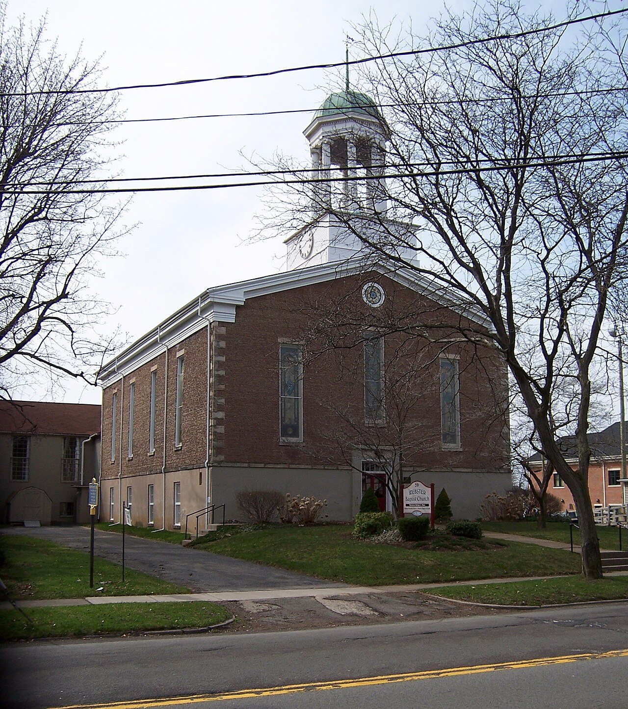
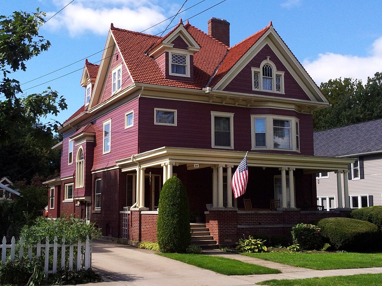
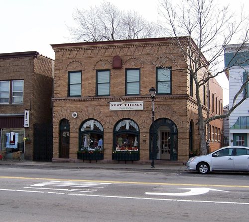
5 listings: 5 buildings, among them the Webster Baptist Church (listed 1991, the first). 7 historic buildings in all.
How old are the homes in Webster?
7% of Webster’s homes were built before 1940 (Census estimate, ±1.5 points), against a typical 27% for a New York town; the median home was built in 1985.
Founding dates: Wikidata, Wikipedia, the U.S. post office records of Blevins & Helbock (CC0) and the Census. Homes by year built: Census ACS 2020–24. National Register of Historic Places: National Park Service (list of May 22, 2026). Old photos, postcards and papers: Wikimedia Commons, the Library of Congress and other public archives, credited on each item’s page. Maps: U.S. Geological Survey historical topographic maps (via Esri) and Sanborn fire-insurance maps (Library of Congress). History text and census tables: Wikipedia (CC BY-SA 4.0). Places that used to be: USGS Geographic Names Information System (2021).
From the National Register of Historic Places (5), Wikipedia, Wikidata and Wikipedia for famous people, U.S. Geological Survey historical maps, U.S. Census counts (via Wikipedia), the US Post Offices dataset (Blevins & Helbock), the USGS Geographic Names Information System, Sanborn fire insurance maps (Library of Congress) and old county and town histories (Internet Archive). Archive images are copied here with their credits and licenses, shown on each photo’s page. Refreshed monthly.