Perinton dates to 1812, and 11% of its homes were built before 1940
More historic than 74% of U.S. towns · #493 of 758 in New York. What drives it
12 places in town are on the National Register, among them two historic districts with 40 buildings between them. Below: 1 old photo or paper, maps from 1900 on, and the census since 1820.
Founding year: Wikidata. First post office: 1822.The full story ↓
History grade
What drives Perinton’s History grade
On its age, its old homes and the National Register, Perinton is more historic than 74% of U.S. towns, #493 of 758 in New York. Its age holds the grade up; its share of homes from before 1940 pulls it down.
B+
HistoryA character grade: shown, never part of Perinton’s overall grade.
New York towns list more on the Register than most of the country (a typical New York town has 12.3 per 10,000 residents, the U.S. 2.4), so Perinton’s 11.3 sits near the middle of its state (48% of New York towns have fewer) while its 53 historic buildings outnumber those of 85% of U.S. towns.
NoteThe founding year comes from Wikidata alone; no second source gives 1812.
How sure. Graded on any two of the three inputs instead, the letter would range from B to A−. The pre-1940 share (±1.5 points) is firm at this size.
Founding year: Wikidata (other dates in Quick answers). Homes: Census ACS 2020–24. National Register: National Park Service, May 2026 list; each listing counted once (boundary changes and added documentation belong to their listing), and a historic district counts its contributing buildings. How TownRatings grades history →
What stands out about Perinton’s past
Read from the archive, the National Register and the record. The page puts what stands out first.
Lost post offices, old corners, places now gone and burying grounds
Three other post offices opened and closed inside today’s town.
Perrinton
1822–1853
Bushnell Basin
1826–1900
Egypt
1838–1902
Fairport
1853–today
18201920today
Hamlets and corners on the map
Bushnell BasinEgyptFairportHannans Corner
Gone or out of use
North Side Fire StationbuildingNorth Side Public SchoolschoolSchool Number 1schoolSchool Number 10schoolSchool Number 11schoolSchool Number 12schoolSchool Number 2schoolSchool Number 3schoolSchool Number 4schoolSchool Number 5schoolSchool Number 6schoolSchool Number 8schoolSouth Side Fire StationbuildingWest Church Street Public Schoolschool
10cemeteries and burying grounds inside Perinton
Bushnells BasinEgyptElmwoodGreenvale RuralMount PleasantPerinton CenterSaint MarysSchummersSouth PerintonWhite Haven Memorial Park
US Post Offices dataset (Blevins & Helbock, CC0). Places and cemeteries from the USGS Geographic Names Information System (2021).
On the map
Perinton on the map, 1900 to 1971
Every edition of the U.S. Geological Survey’s map of Perinton. Tap a year, or press play to watch the town change.
1900Macedon sheet · 1:62,500
U.S. Geological Survey historical topographic maps (public domain), via Esri’s collection of the scans. The red ring marks the center of Perinton.
In 1788, Oliver Phelps and Nathaniel Gorham purchased 2.6 million acres (11,000 km2) of land in the wilderness of Western New York. William Walker of Canandaigua purchased 36 square miles (93 km2) of the land and hired his brother Caleb and his cousin Glover Perrin (1762–1830) to survey and divide the land into 66 equal lots. The area was known as Township 12, Range 4, in the governmental unit of Northfield.
Passages that mention Perinton, cut from the printed page as they were published.
History of Rochester and Monroe county, New York1908 · page 1052Read the page →
Read the text
Lincoln in Perinton, Monroe county, where he followed carpentering one season, working also in Henrietta, Brighton and other localities. In 1818 he took up his abode upon a farm in Perinton near the village of Penfield, which is now the home of his son, Josiah K. Lincoln. His attention was given to agricultural pursuits, but he divided his time with other business interests, and at
Text read by machine from the scan; it may contain errors.
Scans and text from the Internet Archive. Books published in 1930 or earlier, which are in the public domain.
Timeline
Perinton, 1812 to 1902
Woven from the archive, old maps, post office records, the National Register and the people born here.
In 1812, according to Wikidata. Perinton’s post office opened in 1822, and the census of 1820 counted 1,664 people here.
How does Perinton rank for history?
Perinton is more historic than 74% of U.S. towns, #493 of 758 in New York. The History grade combines the town’s founding era, the share of homes built before 1940 and its National Register listings. It’s a character grade, so it isn’t part of the overall grade. How it works.
What is on the National Register in Perinton?
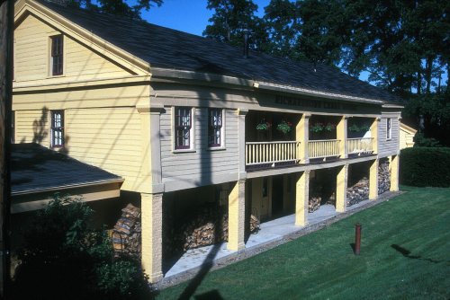
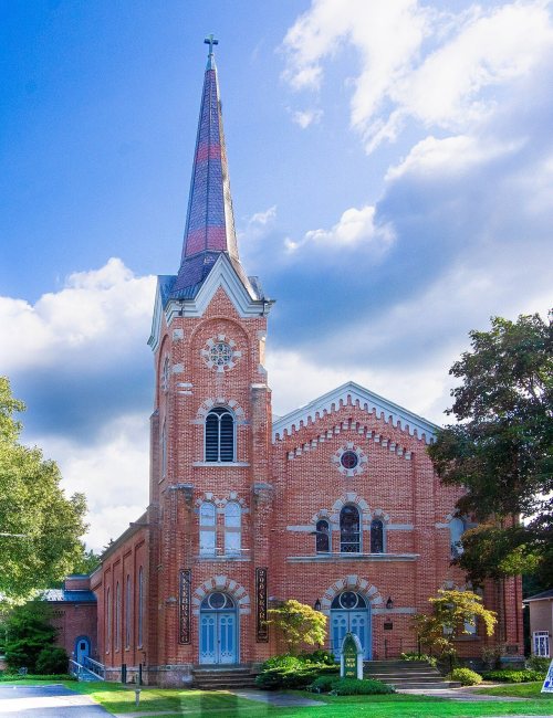
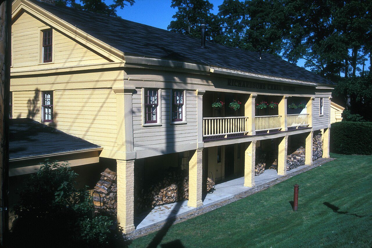
12 listings: 10 buildings, among them the Henry DeLand House (listed 1980, the first), and 2 historic districts, the Potter Historic District and the Pines of Perinton Apartments, with 40 contributing buildings. 53 historic buildings in all.
How old are the homes in Perinton?
11% of Perinton’s homes were built before 1940 (Census estimate, ±1.5 points), against a typical 27% for a New York town; the median home was built in 1977.
Founding dates: Wikidata, Wikipedia, the U.S. post office records of Blevins & Helbock (CC0) and the Census. Homes by year built: Census ACS 2020–24. National Register of Historic Places: National Park Service (list of May 22, 2026). Old photos, postcards and papers: Wikimedia Commons, the Library of Congress and other public archives, credited on each item’s page. Maps: U.S. Geological Survey historical topographic maps (via Esri) and Sanborn fire-insurance maps (Library of Congress). History text and census tables: Wikipedia (CC BY-SA 4.0). Places that used to be: USGS Geographic Names Information System (2021).
From Wikimedia Commons (6), the National Register of Historic Places (12), Wikipedia, U.S. Geological Survey historical maps, U.S. Census counts (via Wikipedia), the US Post Offices dataset (Blevins & Helbock), the USGS Geographic Names Information System and old county and town histories (Internet Archive). Archive images are copied here with their credits and licenses, shown on each photo’s page. Refreshed monthly.



 2010
 2010
 2010
 2010
 2007