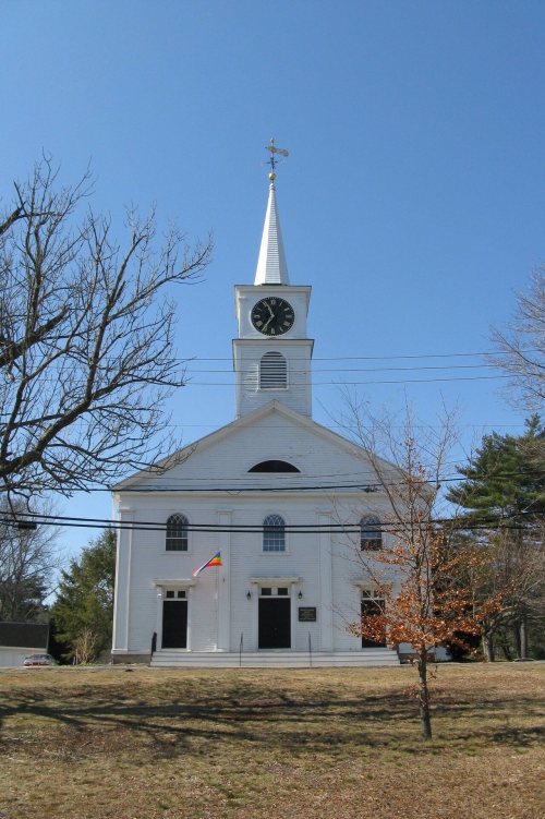
Norwell dates to 1634, and 18% of its homes were built before 1940
More historic than 91% of U.S. towns · #133 of 283 in Massachusetts. What drives it
4 places in town are on the National Register, among them a historic district with 92 buildings. Below: 5 old photos and papers, maps from 1885 on, and the census since 1850.
Founding year: Wikidata; Wikipedia’s history section gives the same year. First post office: 1828.The full story ↓
History grade
What drives Norwell’s History grade
On its age, its old homes and the National Register, Norwell is more historic than 91% of U.S. towns, #133 of 283 in Massachusetts. All 3 inputs are above most U.S. towns; its age ranks highest and its share of homes from before 1940 lowest.
A
HistoryA character grade: shown, never part of Norwell’s overall grade.
Massachusetts towns list more on the Register than most of the country (a typical Massachusetts town has 46.0 per 10,000 residents, the U.S. 2.4), so Norwell’s 83.6 sits near the middle of its state (59% of Massachusetts towns have fewer) while its 95 historic buildings outnumber those of 89% of U.S. towns.
How sure. Graded on any two of the three inputs instead, the letter would range from A− to A. The pre-1940 share is a Census survey estimate (±3.7 points). Two sources give 1634.
Founding year: Wikidata (other dates in Quick answers). Homes: Census ACS 2020–24. National Register: National Park Service, May 2026 list; each listing counted once (boundary changes and added documentation belong to their listing), and a historic district counts its contributing buildings. How TownRatings grades history →
What stands out about Norwell’s past
Read from the archive, the National Register and the record. The page puts what stands out first.
Norwell was first settled in 1634 as a part of the settlement of Satuit (later Scituate), which encompassed present-day Scituate and Norwell. It was officially created in 1849 and soon became known as South Scituate. The town changed its name by ballot to Norwell in 1888, after Henry Norwell (1832–1903), a dry goods merchant who provided funds for the maintenance of the town roads. Early settlers were attracted to Norwell for agricultural reasons, with the town later developing a major shipbuilding industry, based on the North and Northwest rivers. Shipbuilding was a major industry in the 18th through the early 19th centuries. Some of the finest frigates, schooners, whalers, and merchant vessels were produced in Norwell. The Norwell Village Area Historic District is in the center of the town.
Passages that mention Norwell, cut from the printed page as they were published.
History of shipbuilding on North river, Plymouth county, Massachusetts, with genealogies of the shipbuilders, and accounts of the industries upon its tributaries. 1640 to 18721889 · page 242Read the page →
Read the text
possibly for all time. Cummings Litchfield built near his present residence in So. Seituate in 1852, and later at Union Bridge.* In the meantime he worked at the diflerent yards on the river, and also went to sea. He is now living in Norwell, where he carries on an extensive farm. * See Miscellaneous Seituate Yards.
Text read by machine from the scan; it may contain errors.
History of shipbuilding on North river, Plymouth county, Massachusetts, with genealogies of the shipbuilders, and accounts of the industries upon its tributaries. 1640 to 18721889Read the page →
Read the text
Brook. The father was in So. Scituate previous to 1660, and during that year built " John Palmer's Log Bridge," so called, over the 3rd Herring Brook, near where the present bridge that connects Hanover and Norwell is located. The descendants of Church and Palmer prol)al)ly continued the business of shipbuilding here. The next names that appear to have been used in connection with shipbuilding at this yard were those of ]Michael Ford and his brother-in-law William Copeland.
Text read by machine from the scan; it may contain errors.
Scans and text from the Internet Archive. Books published in 1930 or earlier, which are in the public domain.
By decade
Norwell, decade by decade
One decade in the archive so far: the 1930s. Scroll each row; tap a photo for its story.
Nothing in the archives for these yearsWeddings on Main Street, storms, parades, school pictures, the old store. If it’s in your family album, it belongs here.
In 1634, according to Wikidata and Wikipedia’s history of the town. Norwell’s post office opened in 1828, and the census of 1850 counted 1,770 people here.
How does Norwell rank for history?
Norwell is more historic than 91% of U.S. towns, #133 of 283 in Massachusetts. The History grade combines the town’s founding era, the share of homes built before 1940 and its National Register listings. It’s a character grade, so it isn’t part of the overall grade. How it works.
What is on the National Register in Norwell?
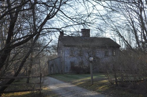
4 listings: 3 buildings, among them the Bryant-Cushing House (listed 1976, the first), and 1 historic district, the Norwell Village Area Historic District, with 92 contributing buildings. 95 historic buildings in all.
How old are the homes in Norwell?
18% of Norwell’s homes were built before 1940 (Census estimate, ±3.7 points), against a typical 21% for a Massachusetts town; the median home was built in 1968.
Founding dates: Wikidata, Wikipedia, the U.S. post office records of Blevins & Helbock (CC0) and the Census. Homes by year built: Census ACS 2020–24. National Register of Historic Places: National Park Service (list of May 22, 2026). Old photos, postcards and papers: Wikimedia Commons, the Library of Congress and other public archives, credited on each item’s page. Maps: U.S. Geological Survey historical topographic maps (via Esri) and Sanborn fire-insurance maps (Library of Congress). History text and census tables: Wikipedia (CC BY-SA 4.0). Places that used to be: USGS Geographic Names Information System (2021).
From Wikimedia Commons (5), Wikidata (1), the National Register of Historic Places (4), Wikipedia, Wikidata and Wikipedia for famous people, U.S. Geological Survey historical maps, U.S. Census counts (via Wikipedia), the US Post Offices dataset (Blevins & Helbock), the USGS Geographic Names Information System and old county and town histories (Internet Archive). Archive images are copied here with their credits and licenses, shown on each photo’s page. Refreshed monthly.




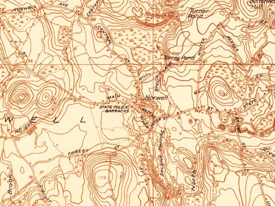


 1934
 1934
 1934
 1934