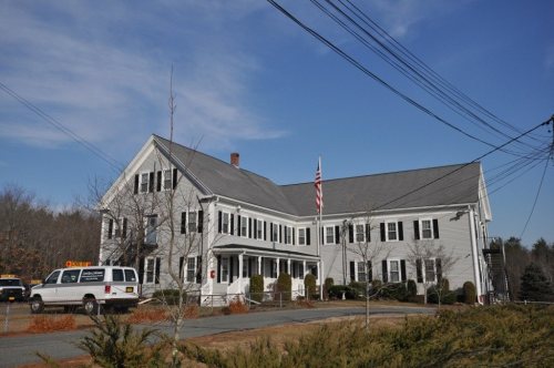
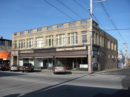
Rockland dates to 1673, and 30% of its homes were built before 1940
More historic than 93% of U.S. towns · #109 of 283 in Massachusetts. What drives it
9 places in town are on the National Register, among them two historic districts with 41 buildings between them. Below: 5 old photos and papers, maps from 1885 on, and the census since 1880.
Founding year: Wikidata. First post office: 1831.The full story ↓
History grade
What drives Rockland’s History grade
On its age, its old homes and the National Register, Rockland is more historic than 93% of U.S. towns, #109 of 283 in Massachusetts. All 3 inputs are above most U.S. towns; its age ranks highest and its National Register listings lowest.
A
HistoryA character grade: shown, never part of Rockland’s overall grade.
Massachusetts towns list more on the Register than most of the country (a typical Massachusetts town has 46.0 per 10,000 residents, the U.S. 2.4), so Rockland’s 29.9 sits near the middle of its state (40% of Massachusetts towns have fewer) while its 53 historic buildings outnumber those of 85% of U.S. towns.
NoteThe founding year comes from Wikidata alone; no second source gives 1673.
How sure. Graded on any two of the three inputs instead, the letter would range from A− to A+. The pre-1940 share is a Census survey estimate (±5.4 points).
Founding year: Wikidata (other dates in Quick answers). Homes: Census ACS 2020–24. National Register: National Park Service, May 2026 list; each listing counted once (boundary changes and added documentation belong to their listing), and a historic district counts its contributing buildings. How TownRatings grades history →
What stands out about Rockland’s past
Read from the archive, the National Register and the record. The page puts what stands out first.
Fire insurance maps drew every building, what it was made of and what it was used for, so insurers could price the risk of fire. Pick a year, then a sheet.
Rockland was a part of territory given to one Timothy Hatherly in a land grant, later known as the Hatherly Grant, in 1654. It was then populated by European settlers as a northeastern region of the neighboring town Abington in 1673. The town separated and incorporated as Rockland on March 9, 1874. It is named for the town's rocky nature, which was better suited for mills and industry than for farming. During King Philip's War, the town was the site of an encampment during his raids on the town of Scituate.
Passages that mention Rockland, cut from the printed page as they were published.
History of shipbuilding on North river, Plymouth county, Massachusetts, with genealogies of the shipbuilders, and accounts of the industries upon its tributaries. 1640 to 18721889 · page 24Read the page →
Read the text
town, Longwater Brook forms a junction with Drinkwater River. Drinkwater being one of the sources of North River, should be traced to its source. It rises in Weymouth, just over the Rockland line, flows across the north-west corner of Rockland into Abington, where it is known as French's stream, then back through Rockland into Hanover, where it receives Longwater Brook, the name Longwater being the English interpretation of the original Indian name for the stream. About
Text read by machine from the scan; it may contain errors.
History of shipbuilding on North river, Plymouth county, Massachusetts, with genealogies of the shipbuilders, and accounts of the industries upon its tributaries. 1640 to 18721889 · page 25Read the page →
Read the text
o The next tributary to the Longwater stream is the Studley Mill Brook, which has two sources, one rising in the north part of Rockland, just on the Hingham line, and the other in the extreme north-west part of Hanover. This brook flows south-east and where it crosses Pleasant St. near the West Hanover Railway station, there is a mill. The first mill erected here, of which we have any account, was improved by Eliab
Text read by machine from the scan; it may contain errors.
Scans and text from the Internet Archive. Books published in 1930 or earlier, which are in the public domain.
By decade
Rockland, decade by decade
3 decades in the archive, from the 1880s to the 1910s. Scroll each row; tap a photo for its story.
Nothing in the archives for these yearsWeddings on Main Street, storms, parades, school pictures, the old store. If it’s in your family album, it belongs here.
In 1673, according to Wikidata. Rockland’s post office opened in 1831, and the census of 1880 counted 4,553 people here.
How does Rockland rank for history?
Rockland is more historic than 93% of U.S. towns, #109 of 283 in Massachusetts. The History grade combines the town’s founding era, the share of homes built before 1940 and its National Register listings. It’s a character grade, so it isn’t part of the overall grade. How it works.
What is on the National Register in Rockland?
9 listings: 7 buildings, among them the Rockland Almshouse (listed 1983, the first), and 2 historic districts, the Lower Union Street Historic District and the Holy Family Church Complex Historic District, with 41 contributing buildings. 53 historic buildings in all.
How old are the homes in Rockland?
30% of Rockland’s homes were built before 1940 (Census estimate, ±5.4 points), against a typical 21% for a Massachusetts town; the median home was built in 1962.
Founding dates: Wikidata, Wikipedia, the U.S. post office records of Blevins & Helbock (CC0) and the Census. Homes by year built: Census ACS 2020–24. National Register of Historic Places: National Park Service (list of May 22, 2026). Old photos, postcards and papers: Wikimedia Commons, the Library of Congress and other public archives, credited on each item’s page. Maps: U.S. Geological Survey historical topographic maps (via Esri) and Sanborn fire-insurance maps (Library of Congress). History text and census tables: Wikipedia (CC BY-SA 4.0). Places that used to be: USGS Geographic Names Information System (2021).
From Wikimedia Commons (5), Wikidata (1), the National Register of Historic Places (9), Wikipedia, Wikidata and Wikipedia for famous people, U.S. Geological Survey historical maps, U.S. Census counts (via Wikipedia), the US Post Offices dataset (Blevins & Helbock), the USGS Geographic Names Information System, Sanborn fire insurance maps (Library of Congress) and old county and town histories (Internet Archive). Archive images are copied here with their credits and licenses, shown on each photo’s page. Refreshed monthly.


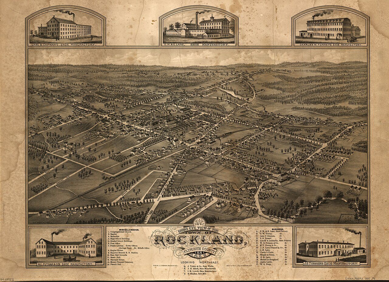




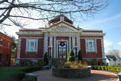


 1881
 c. 1908