
 Top
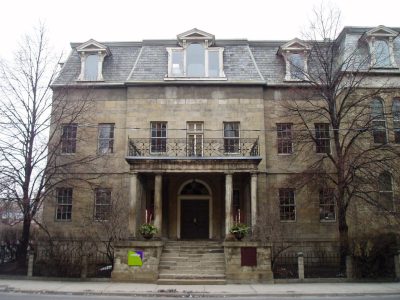
National Historic Site · 1827–1835Bank of Upper Canada Building252 Adelaide Street EastPhoto: SimonP · CC BY-SA 3.0 · Commons file
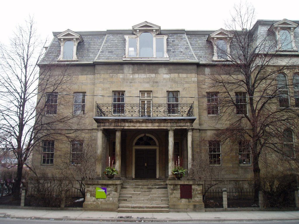 Bank of Upper Canada Building · Photo: SimonP · CC BY-SA 3.0
3historic places on the registers
History of Moss Park · Canada’s heritage registers
Moss Park: 3 historic places, 2 with the highest designation
On the list: a provincial or municipal listing. The oldest dated place, Bank of Upper Canada Building, goes back to 1827. Moss Park has 1.3 for every 10,000 people, a higher rate than 82% of Canadian towns.
Historic places
3
1.3 per 10,000 residents
Highest designations
2
National Historic Sites and Classified Federal Heritage Buildings
Provincial and local listings
1
provincial and municipal listings with an encyclopedia article
Oldest building
1827
the first construction date on its record
Homes built before 1961
17%
typical town: 18%
In pictures
Moss Park’s heritage in 3 photos, and 2 pictures of its past
The photos cover every place on Moss Park’s registers. Open a place’s page for its old views: 2 places in Moss Park have them. First come Bank of Upper Canada Building and Fourth York Post Office.
Photos from Wikimedia Commons, each credited to its photographer with its licence; names open the place’s page. Tap a photo to step through them full screen.
Through time
The past of Moss Park, 1854 to 1872
Here in time order: the oldest views of 2 of its historic places. Point at a dot for its year, or tap a picture to enlarge it.
 1854
 1872
Public domain or CC0, made before 1950, from Wikimedia Commons; old views of places can be drawings, prints or maps of their time. Each credit opens the image’s page.
The map
Where Moss Park’s history is
Every place on the registers inside the town, by its designation.
Highest designationsProvincial and local listings
Names show on hover, and a tap takes you to the place’s page.
The 3, by tier
2 Highest designations1 Provincial and local listings
Federal designations come from Parks Canada’s directory; a province’s or a council’s own listing shows here only when Wikidata holds it and an encyclopedia covers it.
Points from Wikidata (Parks Canada’s files carry none) and from Québec’s register, as mapped there.
Highest designations
2 places in Moss Park with the highest designation
The first was designated in 1977, the latest in 1981. National Historic Sites and Classified Federal Heritage Buildings, Canada’s highest federal recognition. Their dates run from 1827, with Bank of Upper Canada Building, to 1833. Each one opens its own page.
 Top
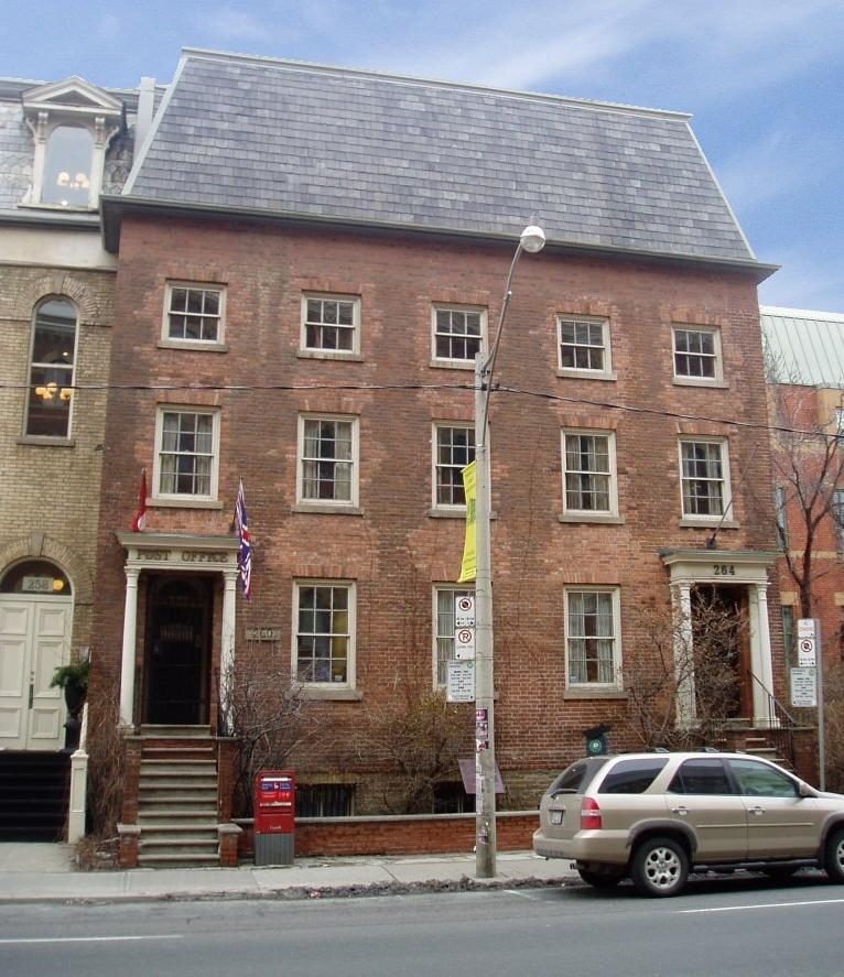
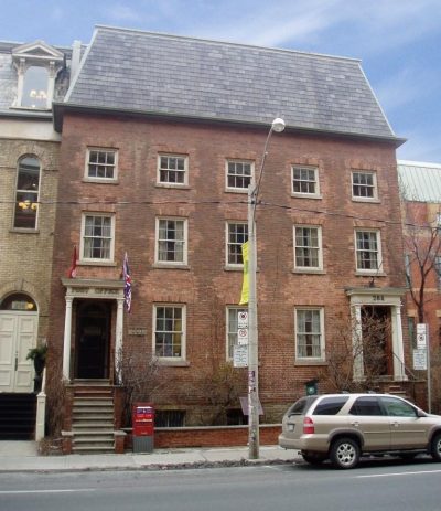
National Historic Site · 1833–1836Fourth York Post Office260 Adelaide Street EastPhoto: SimonP · CC BY-SA 3.0 · Commons file
Provincial and local listings
One local listing in Moss Park
Provincial and municipal listings that Wikidata records and an encyclopedia describes. Each one opens its own page.
 Local
Ontario Heritage Trust property · 1848Enoch Turner SchoolhousePhoto: SimonP · CC BY-SA 3.0 · Commons file
Homes by age
New homes stand out in Moss Park: 20% from 2016–21, where most towns have 4.1%
32% of Moss Park’s homes date from 2001 to 2015, well above the typical 15%. Moss Park built little from 1961 to 1980: 16% of its homes, where most towns have 27%. Homes built from 1981 to 2000 make up just 14% of Moss Park’s, against 23% in the typical town.
17%
Before 1961
16%
1961–80
14%
1981–2000
32%
2001–15
20%
2016–21
Moss ParkTypical town
2021 Census, private dwellings by period of construction (Statistics Canada); the typical town is the middle Canadian town of 2,500 or more.
Towns its size
Moss Park has the 4th most of 16 towns its size
Towns of 22,500 to 22,900 residents, by places on the registers.
Moss Park3
Just these have more: Colwood, Yellowknife and Cité-Universitaire. The typical town its size has 1. For 8, the registers list nothing.
Neighbours
Moss Park and its neighbours
| Town | People | Places | Highest | Oldest |
|---|---|---|---|---|
| Moss Park | 22,701 | 3 | 2 | 1827 |
| Downtown Yonge East | 18,251 | 7 | 5 | 1850 |
| Regent Park | 12,797 | 1 | 0 | 1876 |
| Cabbagetown-South St.James Town | 11,205 | 2 | 1 | 1857 |
| St Lawrence-East Bayfront-The Islands | 31,360 | 3 | 3 | 1859 |
| Yonge-Bay Corridor | 12,888 | 4 | 4 | 1829 |
| North St.James Town | 18,733 | 0 | 0 | — |
In brief
Moss Park in brief
All told, Moss Park has 3 historic places, 2 with the highest designation. Just 3 towns of its size, out of 16, have more historic places. Counted by age, only 17% of its homes come from before 1961, against 18% in the typical town. For the rest, the list grew between 1977 and 1981.
How to read these numbers
What this data can and can’t tell you
- Protection. National historic designation honours a place but binds only federal owners; a private building’s protection depends on its province or municipality.
- People and events. Parks Canada’s open file gives its national historic persons no place. A town’s page names one only when the person was born there (matched by name and both life years) or one of its own historic places carries the name and its record speaks of them; national historic events stay off.
- Provincial and municipal lists. Provincial and municipal listings here come from Wikidata alone, since the provinces’ own registers can’t be reused; a listing needs an encyclopedia article to get a page.
- The tiers. Tiers follow the designation: national recognition and classement first, other federal designations next, provincial and local listings last.
- The federal register. Every federal designation is in Parks Canada’s directory, and the Canadian Register of Historic Places gives most of them a bilingual statement of significance.
- Map points. Parks Canada publishes no coordinates, so federal places are pinned where Wikidata puts them.
- The grade. There is no history grade: the page sets out the record and compares it with other towns.
Questions about Moss Park’s history
Which places in Moss Park have the highest designation?
They are Bank of Upper Canada Building and Fourth York Post Office.
What is the oldest building in Moss Park?
Bank of Upper Canada Building, a National Historic Site, begun in 1827.
How old are the homes in Moss Park?
The 2021 Census dates 17% of its homes before 1961 (18% in the typical town).
Contains information licensed under the Open Government Licence – Canada (Parks Canada).
Sources: Parks Canada, Directory of Federal Heritage Designations · Canadian Register of Historic Places (federal extract) · Wikidata (CC0) for map points, other names and articles · Statistics Canada, 2021 Census (homes by period of construction). Under the Statistics Canada Open Licence.
Adapted from Statistics Canada (Census of Population 2021, population estimates 2025, 2021 census boundaries) under the Statistics Canada Open Licence; this does not constitute an endorsement by Statistics Canada. Neighbourhood names in some cities © OpenStreetMap contributors (ODbL).