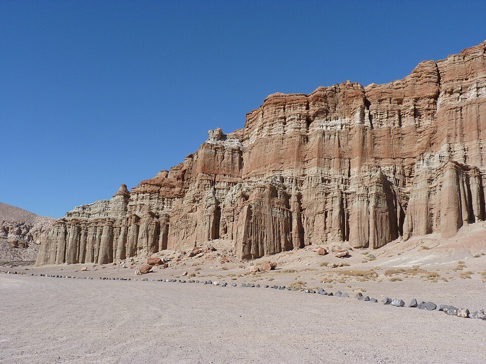
Red Rock Canyon State Park
Red Rock Canyon State Park is a state park in the U.S. state of California which features scenic desert cliffs, buttes and spectacular rock formations. Visitors find it 17 mi northwest of California City. The site is in the hands of California State Parks.

A state park, 17 mi northwest of California City
Summers are hot
July and August highs run 99–100°, and about 106 days a year reach 90°. When to go ↓
Plan where you’ll sleep
The nearest town with many places to stay is Ridgecrest, 26 miles northeast. Where to stay ↓
Best months: Mar, Apr, May, Oct and Nov
March, April, May, October and November are the mild months, with highs of 67–83°. When to go ↓
Established in 1968
Red Rock Canyon State Park dates from 1968 and is run by California State Parks. About ↓
Written from NOAA 1991–2020 normals, Overture places to stay, Census town figures, Wikidata and Wikipedia.
Weather through the year
This is the year’s weather near Red Rock Canyon.
Red Rock Canyon State Park
Red Rock Canyon State Park is a state park in the U.S. state of California which features scenic desert cliffs, buttes and spectacular rock formations. The park consists of approximately 27,000 acres (110 km2) within the Mojave Sector of the Tehachapi District of the California State Park System, and is located along State Highway 14 in Kern County, about 80 miles (129 km) east of Bakersfield and 25 miles (40 km) north of Mojave, where the southernmost tip of the Sierra Nevada converges with the El Paso Mountains.
- Type
- State park
- Established
- 1968
- Run by
- California State Parks
- Wikipedia readers
- 12K a year
Hotels and campgrounds near Red Rock Canyon State Park
The closest towns with hotels, motels or campgrounds are Ridgecrest (32) and Mojave (17).
Ridgecrest
The closest town with somewhere to stay.
28,333 people
26 mi northeast of Red Rock Canyon
Compare 8 towns
| Town | From Red Rock Canyon | Drive | Places to stay | People | Typical home | Safety |
|---|---|---|---|---|---|---|
| Ridgecrest | 26 mi northeast | 40 min | 32 25 hotels · 4 motels · 1 inn or B&B · 1 lodge or cabins · 1 RV park | 28,333 | $254K | C− |
| Mojave | 27 mi southwest | 40 min | 17 8 hotels · 7 motels · 1 lodge or cabins · 1 RV park | 5,173 | $214K | — |
| California City | 17 mi southeast | 25 min | 3 1 hotel · 2 RV parks | 13,300 | $278K | C− |
| Boron | 30 mi southeast | 45 min | 4 1 hotel · 1 motel · 1 lodge or cabins · 1 RV park | 2,698 | $149K | — |
| Randsburg 44% vacation homes | 19 mi east | 30 min | 1 1 hotel | 19 | — | — |
| Johannesburg 67% vacation homes | 20 mi east | 30 min | 1 1 hotel | 86 | — | — |
| Mountain Mesa | 30 mi northwest | 45 min | 3 1 motel · 1 campground · 1 RV park | 600 | $228K | — |
| Inyokern | 22 mi northeast | 35 min | 1 1 motel | 912 | $293K | — |
Day trip from
Straight-line miles.
Getting there
Nearest airports with airline service
Pair Red Rock Canyon with these
Other well-known places within 67 miles.
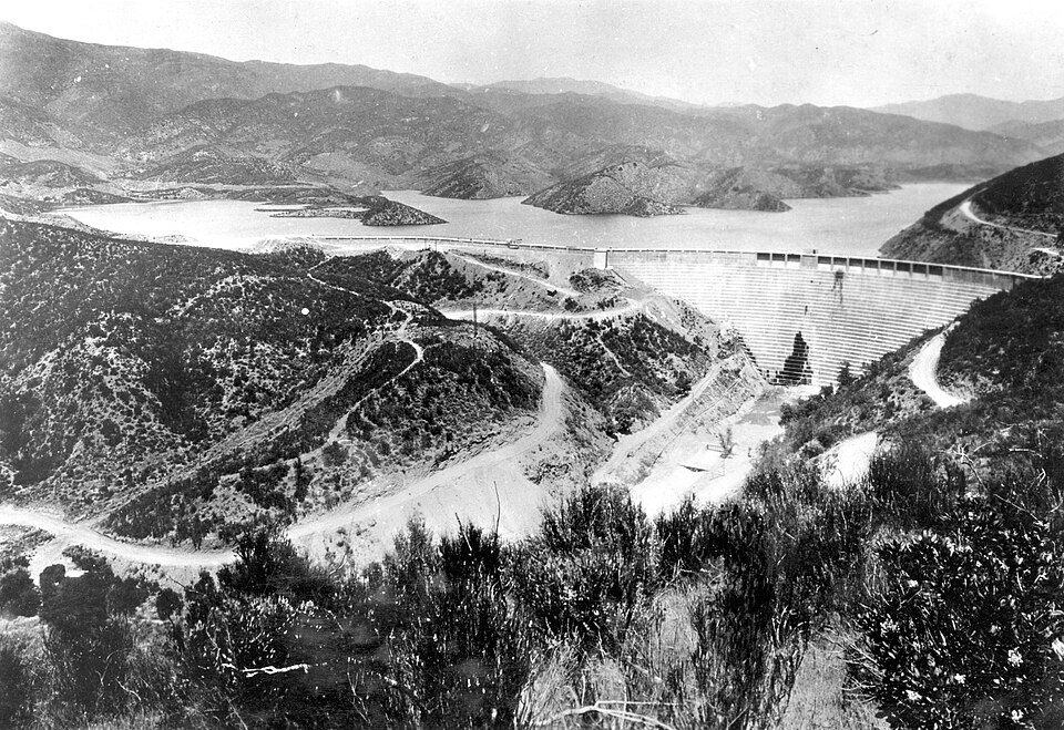 Big draw64 mi DamSt. Francis Dam
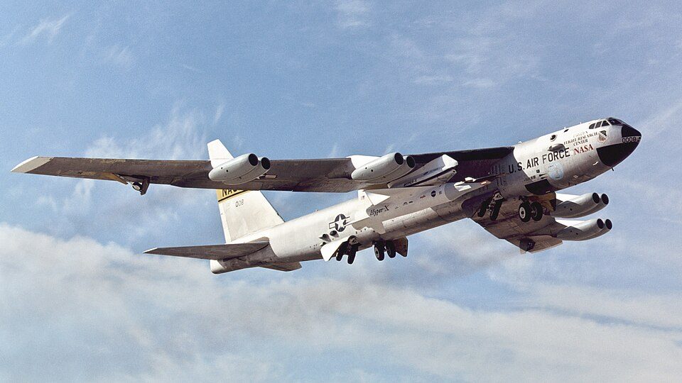 127 mi LandmarkBalls 8
 64 mi Park & preserveVasquez Rocks
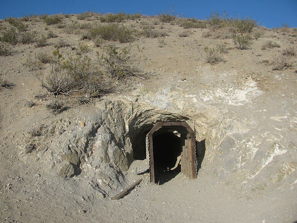 27 mi Park & preserveBurro Schmidt Tunnel
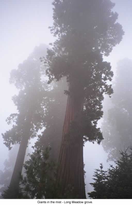 54 mi National forestSequoia National Forest
 39 mi Park & preserveTrona Pinnacles32 mi MuseumAir Force Flight Test Museum66 mi Zoo & aquariumShambala Preserve
Photo credits
St. Francis Dam: Stearns, H.T. USGS, Public domain · Balls 8: NASA/Tony Landis, Public domain · Vasquez Rocks: Thomas from USA, CC BY 2.0 · Burro Schmidt Tunnel: Kurtis2014, CC BY-SA 3.0 · Sequoia National Forest: US Forest Service, Public domain · Trona Pinnacles: Doug Dolde at English Wikipedia, Public domain


Questions about Red Rock Canyon
What town is Red Rock Canyon State Park near?
California City, CA, about 17 miles southeast.
When is the best time to visit Red Rock Canyon State Park?
March, April, May, October and November, with highs of 67–83°.
How far is Red Rock Canyon State Park from Bakersfield?
About 59 miles west of Bakersfield, as the crow flies.
What is the closest airport to Red Rock Canyon State Park?
Meadows Field (BFL), about 60 miles away. The nearest big hub is Hollywood Burbank/Bob Hope (BUR), about 83 miles.
Where should I stay near Red Rock Canyon State Park?
Ridgecrest (26 mi, 32 places to stay), Mojave (27 mi, 17 places to stay) and California City (17 mi, 3 places to stay).
What locals in California City say
Questions and tips go in California City’s Town Square.
Sources: National Park Service · ski areas © OpenSkiMap / OpenStreetMap contributors · Wikidata · Wikipedia readership · NOAA climate normals · U.S. Census.