
Mojave-aerial-070909-03cr, 2007
Mojave’s story
150 years in pictures
Census counts: 2,055 in 1950, 4,699 in 2020. The archive holds 5 old photos and papers going back to 2007 and 4 maps from 1947 on.
- 1876Mojave is settled
Each edition grades its towns against each other only.
A town of 5,173, settled in 1876.
Mojave grades D− overall, 833rd of 841 graded towns in California, mostly because of incomes and health. The median household income is $56K, and 26% of residents live below the poverty line. Residents are less healthy than 95% of U.S. towns on CDC estimates. 26% of residents live below the poverty line in Mojave, above both California’s towns (10%) and U.S. towns (9.6%). On cost of living, just 91 of California’s 1,058 towns do better. FEMA rates its natural-hazard risk higher than 79% of U.S. communities, with earthquakes at the top.
Where Mojave beats most towns, and one thing worth knowing.
Where Mojave’s working residents go each day. Line width shows the share.
Census LEHD 2023
Each subject compared with towns across the country (schools within California), ordered by how far Mojave is from typical.
How TownRatings grades towns →
Census counts: 2,055 in 1950, 4,699 in 2020. The archive holds 5 old photos and papers going back to 2007 and 4 maps from 1947 on.
Mojave is unincorporated, so Kern County and regional agencies provide most services.
EPA SDWIS (Oct 9, 2026) · HIFLD + EIA-861 2025 · Census 2020 ZCTAs · NCES 2024–25 · registration: vote.gov, updated Nov 18, 2024.
Ordered by what stands out in Mojave.
Mojave draws workers from Lancaster and beyond and has more 90° days than nearly all U.S. towns, but it has poverty well above the California rate.
The median property tax bill is $1,064, against $5,124 across California, another input to its cost-of-living grade.
The typical Mojave home is worth about $236,000, down 0.7% in a year, 69% below the California typical home. 38% of households own their home in Mojave.
| Mojave | California towns | U.S. towns | |
|---|---|---|---|
| Households that own their home | 38% | 64% | 73% |
| Median rent | $1,214 a month | $1,898 a month | $1,185 a month |
Census ACS, 2020–24 · Zillow Home Value Index · Redfin Data Center
Its public schools are run by the Mojave Unified school district. Two of its 3 schools are below, each with why it’s listed. The largest public high school is Mojave Jr./Sr. High, with 400 students.
| School | Level | Students | Letter |
|---|---|---|---|
| Mojave ElementaryLargest public elementary schoolGrades K–5 | Grades K–5 | 420 | – |
| Mojave Jr./Sr. HighLargest public high schoolGrades 6–12 | Grades 6–12 | 400 | – |
NCES · EDFacts · graded within CA on state tests and graduation
23% of Mojave adults report frequent mental distress. Mojave beats the California average on 0 of 32 CDC measures and trails it on 24. 34% of Mojave adults say their health is fair or poor.
| Mojave | California towns | U.S. towns | |
|---|---|---|---|
| Fair or poor health (CDC PLACES) | 34% | 22% | 19% |
| Frequent mental distress (CDC PLACES) | 23% | 17% | 17% |
| Food insecurity (CDC PLACES) | 34% | 16% | 14% |
| Frequent physical distress (CDC PLACES) | 19% | 14% | 14% |
| What stands out | Mojave | CA |
|---|---|---|
| More adults facing a utility shut-off | 15.4% | 7.3% |
| More older adults who have lost all their teeth | 21.5% | 10.6% |
| More adults facing food insecurity | 33.7% | 17.9% |
CDC PLACES 2025 · modeled estimates for adults · CMS · HRSA
2,631 jobs are based in Mojave, 2.2 for every working resident, so most of the people who work here commute in. Jobs based here grew from 2,018 in 2013 to 2,631.
About one in 5 of Mojave’s working residents works in town. The average trip to work in Mojave is 32 minutes. Since 2013, Mojave has added 613 jobs, to 2,631 in 2023.
| Mojave | California towns | U.S. towns | |
|---|---|---|---|
| Working residents who work in town | 20% | 6.6% | 8% |
| Median household income | $56,000 | $95,000 | $80,000 |
| Average trip to work | 32 minutes | 28 minutes | 25 minutes |
Census LEHD 2023 · ACS
94 miles of trail in 2 parks and preserves. Mojave’s trail density is 1.6 miles per square mile.
| Mojave | California towns | U.S. towns | |
|---|---|---|---|
| Miles of trail per square mile | 1.6 miles per square mile | 1.0 | 0.4 |
| Conserved land | 0.5% | 4.3% | 4.3% |
| Biggest places to walk | Trails | Acres |
|---|---|---|
| 1. Mojave East Park | 0.1 mi | 9 |
| 2. Mojave West Park | — | 6 |
Trails & parks © OpenStreetMap contributors · Conserved land: USGS PAD-US
One flood insurance claim has been paid in Mojave since 2005.
FEMA flood insurance claims · FEMA National Risk Index · OpenFEMA
The Mojave weather station records that about 110 days a year reach 90°, more than in 97% of U.S. towns. July afternoons average 97.4°, hotter than in 98% of U.S. towns; January nights average 33.1°.
Mojave has mild winters and hot summers, with very little rain. About 1 inches of snow falls in a winter.
| Mojave | California towns | U.S. towns | |
|---|---|---|---|
| July high | 97°F | 89°F | 85°F |
| January low | 33°F | 41°F | 22°F |
NOAA U.S. Climate Normals, 1991–2020
Museums, parks, gardens and other places to visit around Mojave. Close and well known come first.
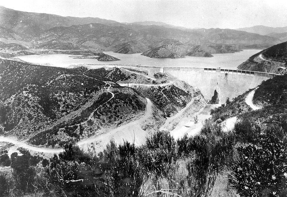 Big draw37 mi DamSt. Francis Dam
 17 mi LandmarkBalls 8
 38 mi Park & preserveVasquez Rocks
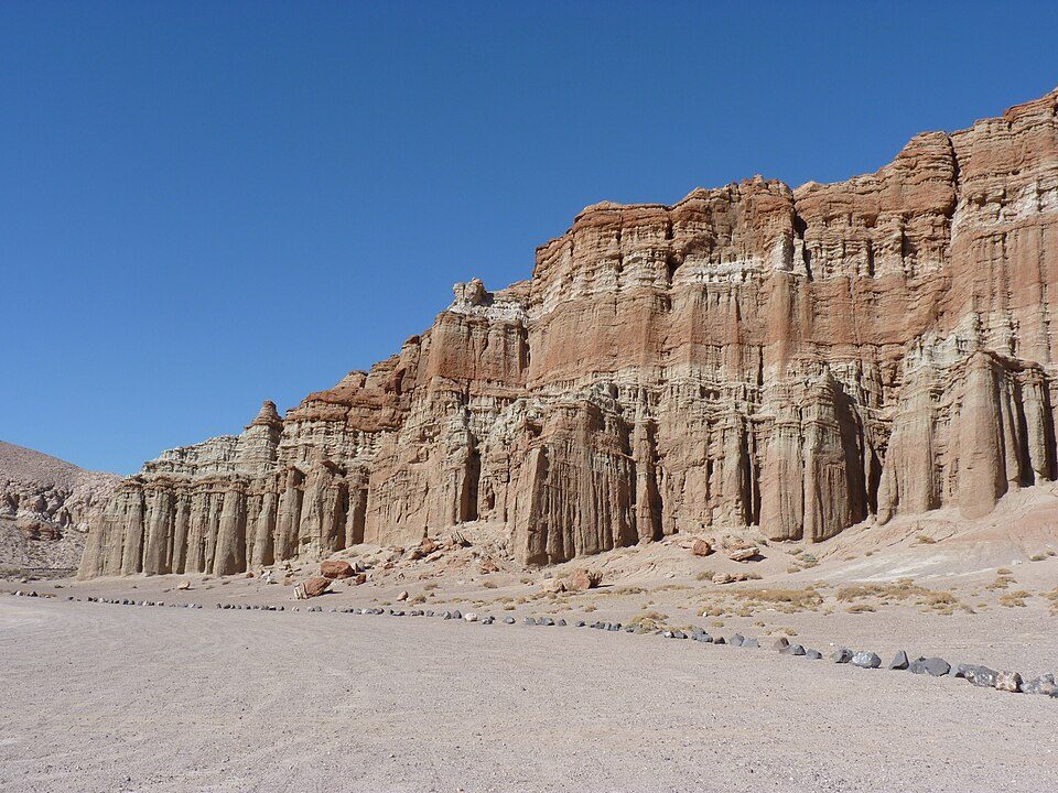 27 mi State parkRed Rock Canyon State Park17 mi MuseumAir Force Flight Test Museum40 mi Zoo & aquariumShambala Preserve
St. Francis Dam: Stearns, H.T. USGS, Public domain · Balls 8: NASA/Tony Landis, Public domain · Vasquez Rocks: Thomas from USA, CC BY 2.0 · Red Rock Canyon State Park: Jean trans h+, CC BY-SA 4.0
None within 15 miles of Mojave; the nearest are
About 5 of every 100 Mojave residents are enrolled in college, against 8 across California.
4,238 counted in 2010 and 4,699 in 2020.
U.S. Census 2010 & 2020 counts
Unincorporated community in California, United States
Mojave (formerly Mohave) is an unincorporated community in Kern County, California, United States. Mojave is located 50 miles (80 km) southeast of Bakersfield, and 100 miles (161 km) north of Los Angeles, at an elevation of 2,762.46 feet (842.00 m). The town is located in the western region of the Mojave Desert, below and east of Oak Creek Pass and the Tehachapi Mountains. Mojave is on the Pacific Crest Trail. The population was 4,700 at the 2020 census, up from 4,238 at the 2010 census. Telephone numbers in Mojave follow the format (661) 824-xxxx and the area includes three postal ZIP Codes.
From Wikipedia, licensed CC BY-SA 4.0 · facts via Wikidata (CC0)
Short answers, built from the data on this page.
Mojave grades D− overall, in the bottom 2% of U.S. towns and #833 of 841 in California. It grades D for health and C− for schools. Jobs & income is its weak spot, with a D−.
That is 3.4 years of the area's median household income ($70,210 across the Bakersfield-Delano, CA metro area). Cost of living, which also weighs rents, property taxes and how many households pay 30% or more of their income for housing, grades C+.
2 notable people were born here, including Sara Kathryn Arledge and Steve Archer.


