
Dead Horse Point State Park
Dead Horse Point State Park is a state park in San Juan County, Utah in the United States, featuring a dramatic overlook of the Colorado River and Canyonlands National Park. Visitors find it 11 mi southwest of Moab. It dates back to 1959.

A state park, 11 mi southwest of Moab
Summers are hot
July highs run 98–98°, and about 108 days a year reach 90°. When to go ↓
Moab is the nearest base
Moab is 11 miles northeast, with 85 places to stay. Where to stay ↓
Best months: Apr, May and Oct
April, May and October are the mild months, with highs of 70–81°. When to go ↓
Established in 1959
Dead Horse Point State Park dates from 1959. About ↓
Written from NOAA 1991–2020 normals, Overture places to stay, Census town figures, Wikidata and Wikipedia.
The weather by month
Pick a month for Dead Horse Point from the weather below.
Dead Horse Point State Park
Dead Horse Point State Park is a state park in San Juan County, Utah in the United States, featuring a dramatic overlook of the Colorado River and Canyonlands National Park. The park opened to the public in 1959 and covers 5,362 acres (2,170 ha) of high desert at an elevation of 5,900 feet (1,800 m).
- Type
- State park
- Established
- 1959
- Area
- 5,300 acres
- Listed
- International Dark Sky Park (2016)
- Wikipedia readers
- 19K a year
Where to sleep near Dead Horse Point State Park
Nearest for a night are Moab (85) and Spanish Valley (4).
Moab
The closest town with somewhere to stay.
5,206 people
11 mi northeast of Dead Horse Point
Compare 4 towns
| Town | From Dead Horse Point | Drive | Places to stay | People | Typical home | Safety |
|---|---|---|---|---|---|---|
| Moab | 11 mi northeast | 15 min | 85 38 hotels · 10 motels · 8 inns & B&Bs · 7 lodges & cabins · 1 hostel · 15 campgrounds · 6 RV parks | 5,206 | $519K | C− |
| Spanish Valley 24% vacation homes | 17 mi east | 25 min | 4 2 lodges & cabins · 1 campground · 1 RV park | 756 | $776K | — |
| Castle Valley 30% vacation homes | 20 mi northeast | 30 min | 1 1 inn or B&B | 369 | $423K | — |
| La Sal | 29 mi southeast | 45 min | 1 1 campground | 373 | $87K | — |
Getting there
Nearest airports with airline service
Other places close by
These well-known sights sit within 65 miles.
 Big draw119 mi National ParkArches National Park1.5M visitors a year
 223 mi National ParkCanyonlands National Park796K visitors a year
 31 mi Canyon & gorgeBluejohn Canyon
 57 mi Park & preserveBears Ears National Monument
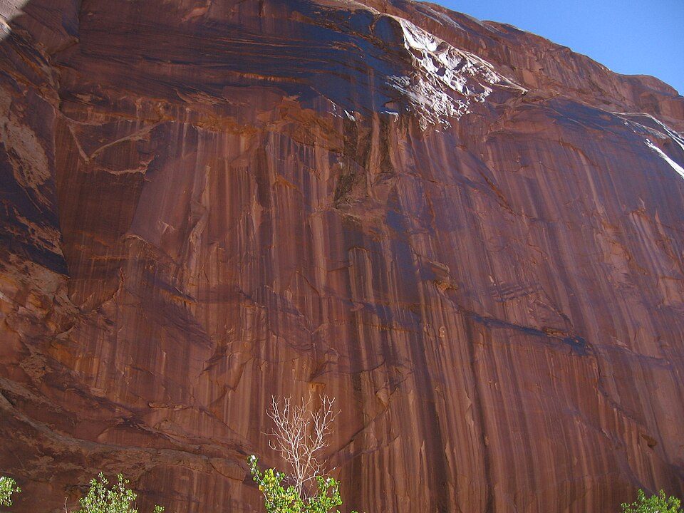 317 mi Canyon & gorgeHorseshoe Canyon
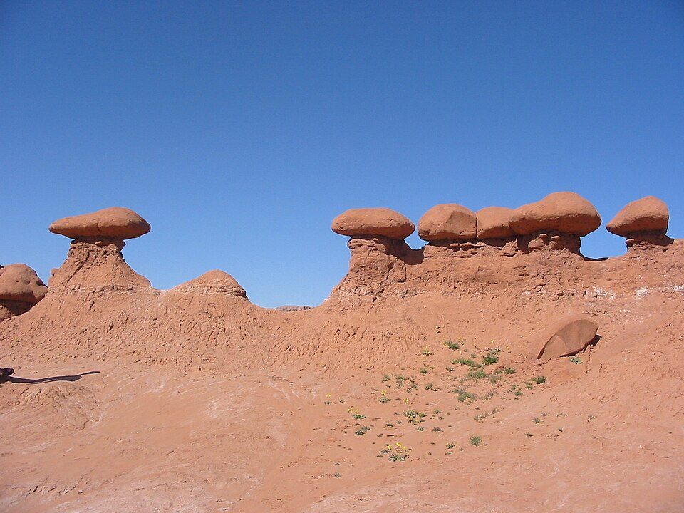 53 mi State parkGoblin Valley State Park45 mi Canyon & gorgeRobbers Roost
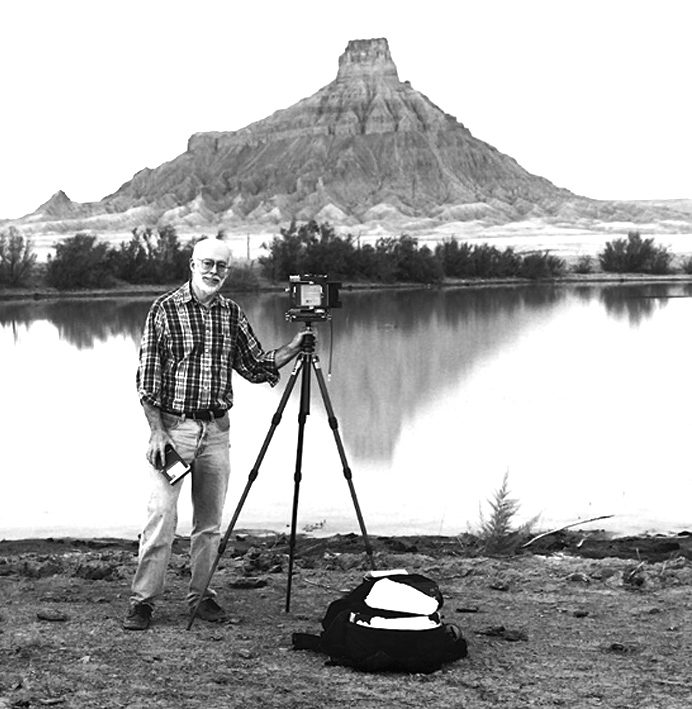 64 mi MountainFactory Butte
Photo credits
Arches National Park: m01229 from USA, CC BY-SA 2.0 · Canyonlands National Park: Phil Armitage, Public domain · Bluejohn Canyon: Michael Grindstaff, CC BY-SA 3.0 · Bears Ears National Monument: U.S. Geological Surey, Public domain · Horseshoe Canyon: Surfsupusa at en.wikipedia, CC0 · Goblin Valley State Park: Donar Reiskoffer, CC BY 3.0 · Factory Butte: Ken Karagozian, CC BY-SA 4.0


Dead Horse Point: common questions
What town is Dead Horse Point State Park near?
Moab, UT, about 11 miles northeast.
When is the best time to visit Dead Horse Point State Park?
April, May and October, with highs of 70–81°.
What is the closest airport to Dead Horse Point State Park?
Canyonlands Regional (CNY), about 17 miles away. The nearest big hub is Salt Lake City (SLC), about 198 miles.
Where should I stay near Dead Horse Point State Park?
Moab (11 mi, 85 places to stay) and Spanish Valley (17 mi, 4 places to stay).
Advice from Moab
Start the conversation in Moab’s Town Square.
Sources: National Park Service · ski areas © OpenSkiMap / OpenStreetMap contributors · Wikidata · Wikipedia readership · NOAA climate normals · U.S. Census.