
Bears Ears National Monument
Bears Ears National Monument is a United States national monument located in San Juan County in southeastern Utah, established by President Barack Obama by presidential proclamation on December 28, 2016.

A park & preserve, 23 mi west of Blanding
Plan where you’ll sleep
The nearest town with many places to stay is Blanding, 23 miles east. Where to stay ↓
Best months: May and Sep
May and September are the mild months, with highs of 74–80°. When to go ↓
Established in 2016
Bears Ears National Monument dates from 2016 and is run by United States Bureau of Land Management and United States Forest Service. About ↓
Written from NOAA 1991–2020 normals, Overture places to stay, Census town figures, Wikidata and Wikipedia.
Weather, month by month
Typical highs and lows in Blanding. Green months are the mild ones.
Bears Ears National Monument
Bears Ears National Monument is a United States national monument located in San Juan County in southeastern Utah, established by President Barack Obama by presidential proclamation on December 28, 2016. The monument currently protects roughly 121,000 acres (189 sq mi; 490 km2) of public land surrounding the Bears Ears—a pair of buttes—and the Indian Creek corridor rock climbing area. The Native American names for the buttes have the same meaning in each of the languages represented in the region. The names are listed in the presidential proclamation as "Hoon’Naqvut, Shash Jáa [sic], Kwiyaghatʉ Nükavachi/Kwiyagatu Nukavachi, Ansh An Lashokdiwe"—all four mean "Bears Ears".
- Type
- Park & preserve
- Established
- 2016
- Area
- 2,125 square miles
- Run by
- United States Bureau of Land Management · United States Forest Service
- Listed
- America's Most Endangered Historic Places
- Wikipedia readers
- 44K a year
Where to stay near Bears Ears National Monument
The closest towns with hotels, motels or campgrounds are Blanding (14) and Bluff (12).
Compare 3 towns
| Town | From Bears Ears | Drive | Places to stay | People | Typical home |
|---|---|---|---|---|---|
| Blanding | 23 mi east | 35 min | 14 6 hotels · 2 motels · 1 inn or B&B · 2 lodges & cabins · 2 campgrounds · 1 RV park | 3,199 | $306K |
| Bluff 27% vacation homes | 33 mi southeast | 50 min | 12 2 hotels · 1 motel · 2 inns & B&Bs · 3 lodges & cabins · 2 campgrounds · 2 RV parks | 252 | $402K |
| Monticello | 34 mi east | 50 min | 10 2 hotels · 4 motels · 1 inn or B&B · 3 RV parks | 1,737 | $301K |
Getting there
Nearest airports with airline service
Also near Bears Ears
Other well-known places within 69 miles. Numbered ones are on the map above.
 33 mi National ParkCanyonlands National Park796K visitors a year
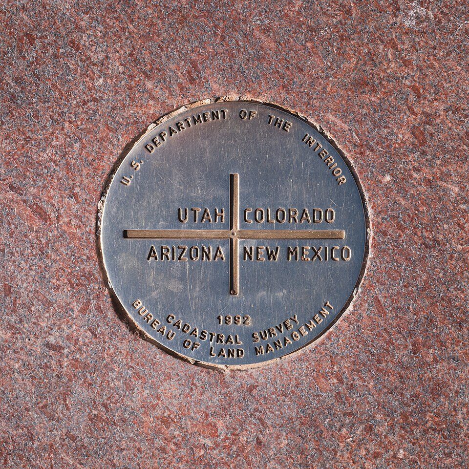 68 mi LandmarkFour Corners Monument
 51 mi Canyon & gorgeBluejohn Canyon
 19 mi National MonumentNatural Bridges National Monument70K visitors a year
 230 mi Ancient siteNewspaper Rock State Historic Monument
 57 mi State parkDead Horse Point State Park54 mi Canyon & gorgeRobbers Roost
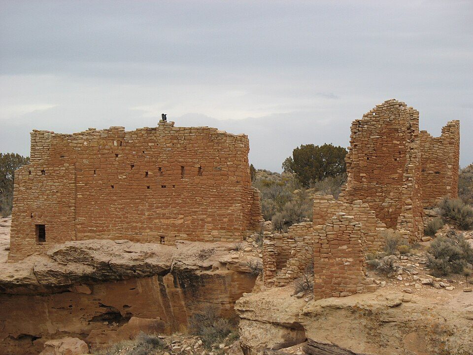 52 mi National MonumentHovenweep National Monument27K visitors a year
Photo credits
Canyonlands National Park: Phil Armitage, Public domain · Four Corners Monument: Christian David, CC BY-SA 4.0 · Bluejohn Canyon: Michael Grindstaff, CC BY-SA 3.0 · Natural Bridges National Monument: Daniel Schwen, CC BY-SA 4.0 · Newspaper Rock State Historic Monument: Unknown, CC BY-SA 3.0 · Dead Horse Point State Park: Nikater, Public domain · Hovenweep National Monument: teofilo, CC BY 2.0


Visiting Bears Ears
What town is Bears Ears National Monument near?
Blanding, UT, about 23 miles east.
When is the best time to visit Bears Ears National Monument?
May and September, with highs of 74–80°.
What is the closest airport to Bears Ears National Monument?
Canyonlands Regional (CNY), about 73 miles away. The nearest big hub is Salt Lake City (SLC), about 240 miles.
Where should I stay near Bears Ears National Monument?
Blanding (23 mi, 14 places to stay), Bluff (33 mi, 12 places to stay) and Monticello (34 mi, 10 places to stay).
Tips from people in Blanding
No tips yet. Ask, or answer, in Blanding’s Town Square.
Sources: National Park Service · ski areas © OpenSkiMap / OpenStreetMap contributors · Wikidata · Wikipedia readership · NOAA climate normals · U.S. Census.