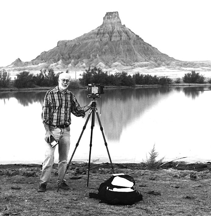
Factory Butte
Factory Butte in Wayne County, Utah, is a 6,302-foot (1,921 m) summit in the Upper Blue Hills in northern Wayne County, Utah, United States, about 12 miles (19 km) northwest of Hanksville and about 14 miles (23 km) east of Capitol Reef National Park boundary.

A mountain, 12 mi west of Hanksville
Plan where you’ll sleep
The nearest town with many places to stay is Torrey, 29 miles west. Where to stay ↓
Summers are hot
July highs run 98–98°, and about 104 days a year reach 90°. When to go ↓
Winters are cold
January nights drop to 19°. When to go ↓
Best months: Apr, May and Oct
April, May and October are the mild months, with highs of 71–81°. When to go ↓
Written from NOAA 1991–2020 normals, Overture places to stay, Census town figures and Wikipedia.
Weather, month by month
Typical highs and lows in Hanksville. Green months are the mild ones.
Factory Butte
Factory Butte in Wayne County, Utah, is a 6,302-foot (1,921 m) summit in the Upper Blue Hills in northern Wayne County, Utah, United States, about 12 miles (19 km) northwest of Hanksville and about 14 miles (23 km) east of Capitol Reef National Park boundary.
The butte was so named by early settlers who thought its outline resembled a huge factory building, the Provo woolen mill in particular.
- Type
- Mountain
- Wikipedia readers
- 22K a year
Where to stay near Factory Butte
The closest towns with hotels, motels or campgrounds are Hanksville (4) and Torrey (15).
Compare 3 towns
| Town | From Factory Butte | Drive | Places to stay | People | Typical home |
|---|---|---|---|---|---|
| Hanksville | 12 mi east | 20 min | 4 1 hotel · 1 motel · 1 lodge or cabins · 1 RV park | 169 | $95K |
| Torrey 43% vacation homes | 29 mi west | 45 min | 15 6 hotels · 2 motels · 1 inn or B&B · 2 lodges & cabins · 1 campground · 3 RV parks | 257 | $408K |
| Teasdale 31% vacation homes | 32 mi west | 50 min | 7 1 hotel · 1 motel · 3 lodges & cabins · 2 campgrounds | 308 | $614K |
Getting there
Nearest airports with airline service
Also near Factory Butte
Other well-known places within 66 miles. Numbered ones are on the map above.
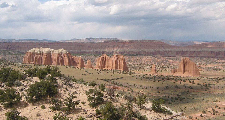 121 mi National ParkCapitol Reef National Park1.4M visitors a year
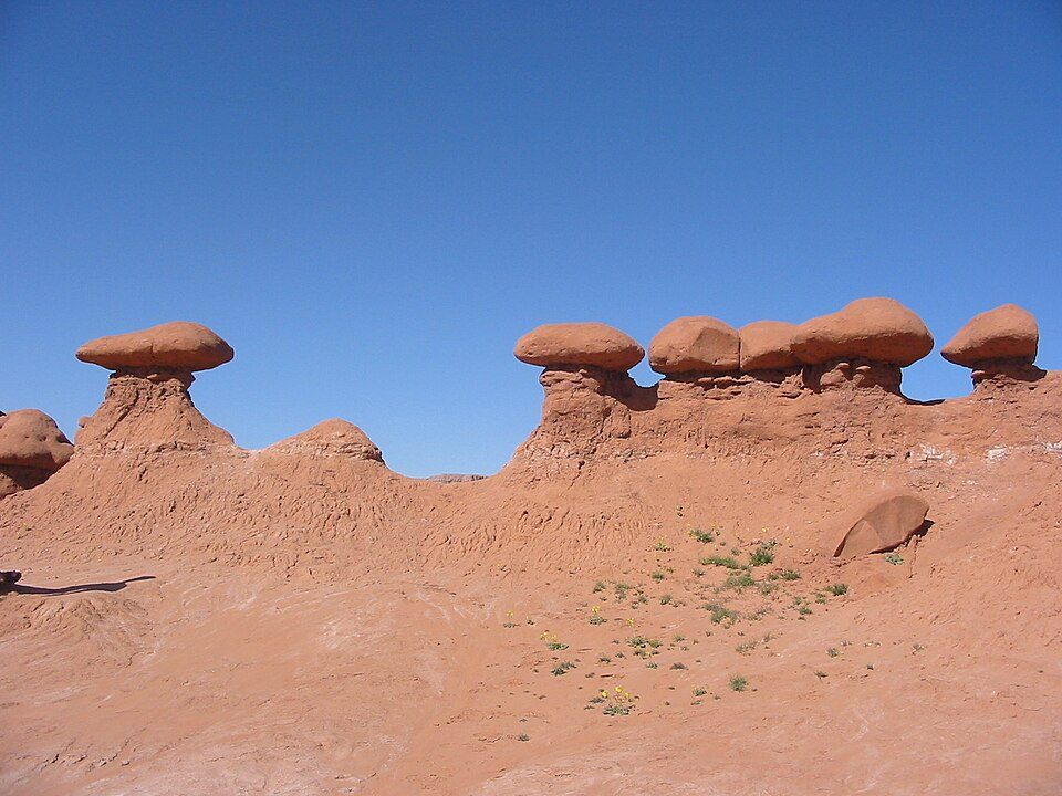 214 mi State parkGoblin Valley State Park
 35 mi Canyon & gorgeBluejohn Canyon
 65 mi National ParkCanyonlands National Park796K visitors a year322 mi Canyon & gorgeRobbers Roost
 64 mi State parkDead Horse Point State Park
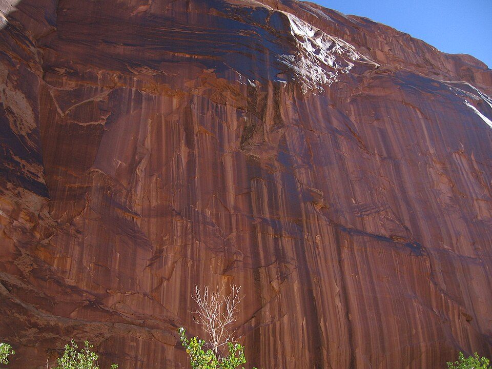 48 mi Canyon & gorgeHorseshoe Canyon
 428 mi Scenic driveUtah State Route 12
Photo credits
Capitol Reef National Park: Bob Palin, CC BY-SA 2.5 · Goblin Valley State Park: Donar Reiskoffer, CC BY 3.0 · Bluejohn Canyon: Michael Grindstaff, CC BY-SA 3.0 · Canyonlands National Park: Phil Armitage, Public domain · Dead Horse Point State Park: Nikater, Public domain · Horseshoe Canyon: Surfsupusa at en.wikipedia, CC0 · Utah State Route 12: Christian Mehlführer, User:Chmehl, CC BY-SA 3.0


Visiting Factory Butte
What town is Factory Butte near?
Hanksville, UT, about 12 miles east.
When is the best time to visit Factory Butte?
April, May and October, with highs of 71–81°.
What is the closest airport to Factory Butte?
Canyonlands Regional (CNY), about 66 miles away. The nearest big hub is Salt Lake City (SLC), about 172 miles.
Where should I stay near Factory Butte?
Hanksville (12 mi, 4 places to stay), Torrey (29 mi, 15 places to stay) and Teasdale (32 mi, 7 places to stay).
Tips from people in Hanksville
No tips yet. Ask, or answer, in Hanksville’s Town Square.
Sources: National Park Service · ski areas © OpenSkiMap / OpenStreetMap contributors · Wikidata · Wikipedia readership · NOAA climate normals · U.S. Census.