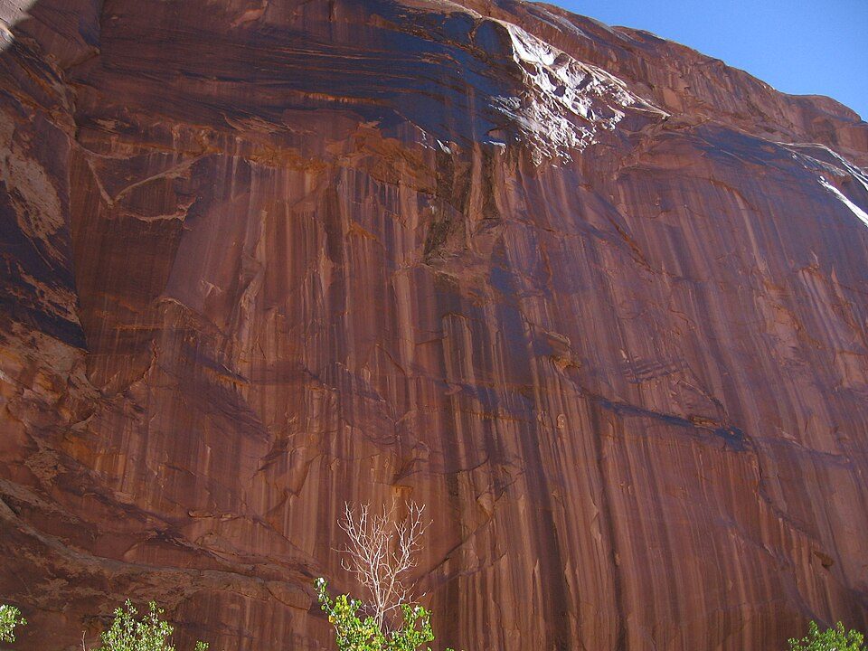
Horseshoe Canyon
Horseshoe Canyon, formerly known as Barrier Canyon, is in a remote area west of the Green River and north of the Canyonlands National Park Maze District in Utah, United States.

A canyon & gorge, 27 mi west of Moab
Plan where you’ll sleep
The nearest town with many places to stay is Moab, 27 miles east. Where to stay ↓
Summers are hot
July highs run 98–98°, and about 108 days a year reach 90°. When to go ↓
Best months: Apr, May and Oct
April, May and October are the mild months, with highs of 70–81°. When to go ↓
Written from NOAA 1991–2020 normals, Overture places to stay, Census town figures, Wikidata and Wikipedia.
Weather, month by month
Typical highs and lows in Moab. Green months are the mild ones.
Horseshoe Canyon
Horseshoe Canyon, formerly known as Barrier Canyon, is in a remote area west of the Green River and north of the Canyonlands National Park Maze District in Utah, United States. It is known for its collection of Barrier Canyon Style (BCS) rock art, including both pictographs and petroglyphs, which was first recognized as a unique style here. A portion of Horseshoe Canyon containing The Great Gallery is part of a detached unit of Canyonlands National Park. The Horseshoe Canyon Unit was added to the park in 1971 in an attempt to preserve and protect the rock art found along much of its length.
- Type
- Canyon & gorge
- Elevation
- 3,967 ft
- Wikipedia readers
- 13K a year
Where to stay near Horseshoe Canyon
The closest towns with hotels, motels or campgrounds are Moab (85) and Green River (21).
Compare 3 towns
| Town | From Horseshoe Canyon | Drive | Places to stay | People | Typical home | Safety |
|---|---|---|---|---|---|---|
| Moab | 27 mi east | 40 min | 85 38 hotels · 10 motels · 8 inns & B&Bs · 7 lodges & cabins · 1 hostel · 15 campgrounds · 6 RV parks | 5,206 | $519K | C− |
| Green River | 30 mi north | 45 min | 21 8 hotels · 5 motels · 3 inns & B&Bs · 3 campgrounds · 2 RV parks | 888 | $174K | — |
| Thompson Springs | 33 mi northeast | 50 min | 4 3 hotels · 1 RV park | — | — | — |
Getting there
Nearest airports with airline service
Also near Horseshoe Canyon
Other well-known places within 67 miles. Numbered ones are on the map above.
 Big draw129 mi National ParkArches National Park1.5M visitors a year
 32 mi National ParkCanyonlands National Park796K visitors a year
 218 mi Canyon & gorgeBluejohn Canyon
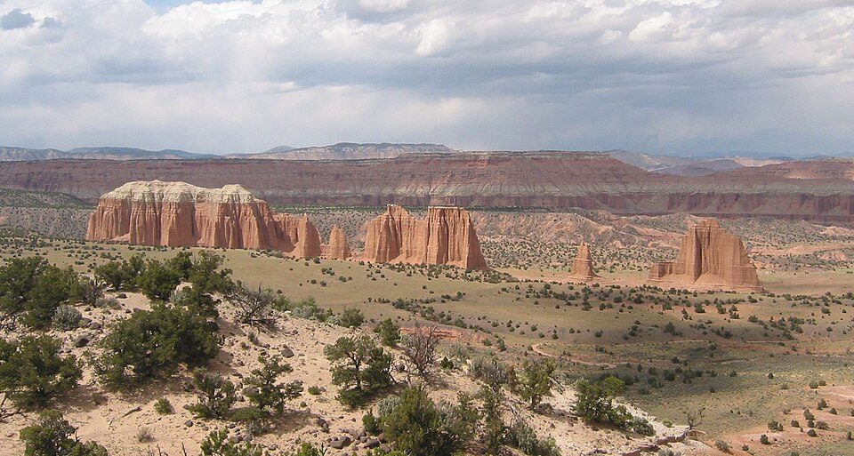 66 mi National ParkCapitol Reef National Park1.4M visitors a year
 317 mi State parkDead Horse Point State Park
 61 mi Park & preserveBears Ears National Monument
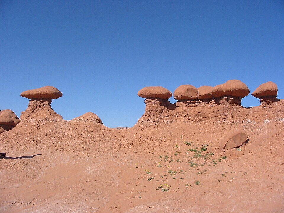 36 mi State parkGoblin Valley State Park32 mi Canyon & gorgeRobbers Roost
Photo credits
Arches National Park: m01229 from USA, CC BY-SA 2.0 · Canyonlands National Park: Phil Armitage, Public domain · Bluejohn Canyon: Michael Grindstaff, CC BY-SA 3.0 · Capitol Reef National Park: Bob Palin, CC BY-SA 2.5 · Dead Horse Point State Park: Nikater, Public domain · Bears Ears National Monument: U.S. Geological Surey, Public domain · Goblin Valley State Park: Donar Reiskoffer, CC BY 3.0


Visiting Horseshoe Canyon
What town is Horseshoe Canyon near?
Moab, UT, about 27 miles east.
When is the best time to visit Horseshoe Canyon?
April, May and October, with highs of 70–81°.
What is the closest airport to Horseshoe Canyon?
Canyonlands Regional (CNY), about 20 miles away. The nearest big hub is Salt Lake City (SLC), about 185 miles.
Where should I stay near Horseshoe Canyon?
Moab (27 mi, 85 places to stay), Green River (30 mi, 21 places to stay) and Thompson Springs (33 mi, 4 places to stay).
Tips from people in Moab
No tips yet. Ask, or answer, in Moab’s Town Square.
Sources: National Park Service · ski areas © OpenSkiMap / OpenStreetMap contributors · Wikidata · Wikipedia readership · NOAA climate normals · U.S. Census.