
First National Bank of, 1921
Conway’s story
133 years in pictures
Census counts: 84 in 2000, 87 in 2020. The archive holds 16 old photos and papers going back to 1921 and 6 maps from 1940 on.
- 1893Conway is settled
Each edition grades its towns against each other only.

Conway’s typical July afternoon high is 74°F, below both Washington’s towns (77°F) and U.S. towns (85°F). Conway’s trail density is 6.5 miles per square mile, where Washington’s towns sit at 0.8 and U.S. towns at 0.4. Conway has fewer than 1,000 residents, too few for fair grades; the figures below are still real.
Where Conway beats most towns.
In a town this size, neighbors are the best guide. Ask them anything.
Census counts: 84 in 2000, 87 in 2020. The archive holds 16 old photos and papers going back to 1921 and 6 maps from 1940 on.
Conway is unincorporated, so Skagit County and regional agencies provide most services.
EPA SDWIS (Oct 9, 2026) · HIFLD + EIA-861 2025 · Census 2020 ZCTAs · NCES 2024–25 · registration: vote.gov, updated Sep 30, 2026.
Ordered by what stands out in Conway.
In Conway, the risk rating from FEMA is 79 of 100. Expected losses in Conway break down as 45% from inland flooding and 39% from earthquakes.
FEMA National Risk Index · OpenFEMA
NOAA U.S. Climate Normals, 1991–2020
For adults in Conway, the share who binge drink is 15%. This Washington town beats the Washington average on 10 of 31 CDC measures and trails it on 6. In Conway, 29% of adults sleep under 7 hours, and 75% had a checkup this year.
| Conway | Washington towns | U.S. towns | |
|---|---|---|---|
| Frequent mental distress (CDC PLACES) | 14% | 17% | 17% |
| Sleep under 7 hours (CDC PLACES) | 29% | 33% | 36% |
| Yearly checkup (CDC PLACES) | 75% | 71% | 79% |
| Smoke cigarettes (CDC PLACES) | 9.3% | 11% | 14% |
| What stands out | Conway | WA |
|---|---|---|
| Fewer older adults who have lost all their teeth | 4.2% | 9% |
| Fewer adults facing food insecurity | 7% | 10.2% |
| More adults who have had cancer | 12% | 7.9% |
CDC PLACES 2025 · modeled estimates for adults · CMS · HRSA
Trails run 1.3 miles in 1 park or preserve. One park or preserve covers 2 acres in Conway.
| Biggest places to walk | Trails | Acres |
|---|---|---|
| 1. Conway Park | — | 2 |
Trails & parks © OpenStreetMap contributors · Conserved land: USGS PAD-US
Museums, parks, gardens and other places to visit around Conway. Close and well known come first.
 39 mi MountainMount Baker
 24 mi LandmarkFort Worden
 26 mi Stadium & arenaAngel of the Winds Arena
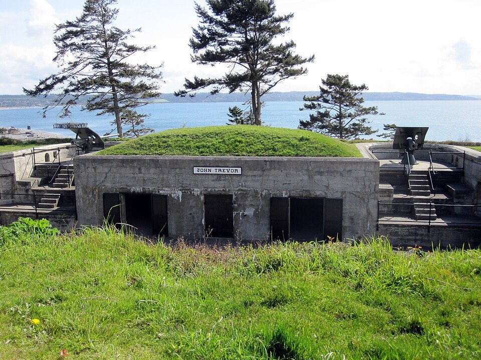 19 mi LandmarkFort Casey
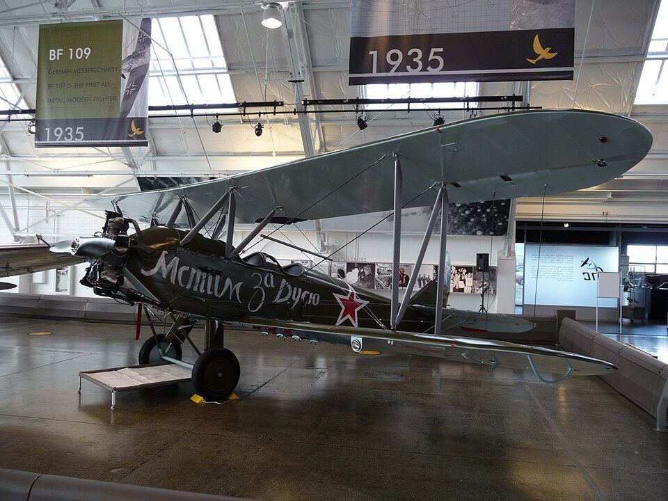 30 mi MuseumFlying Heritage Collection
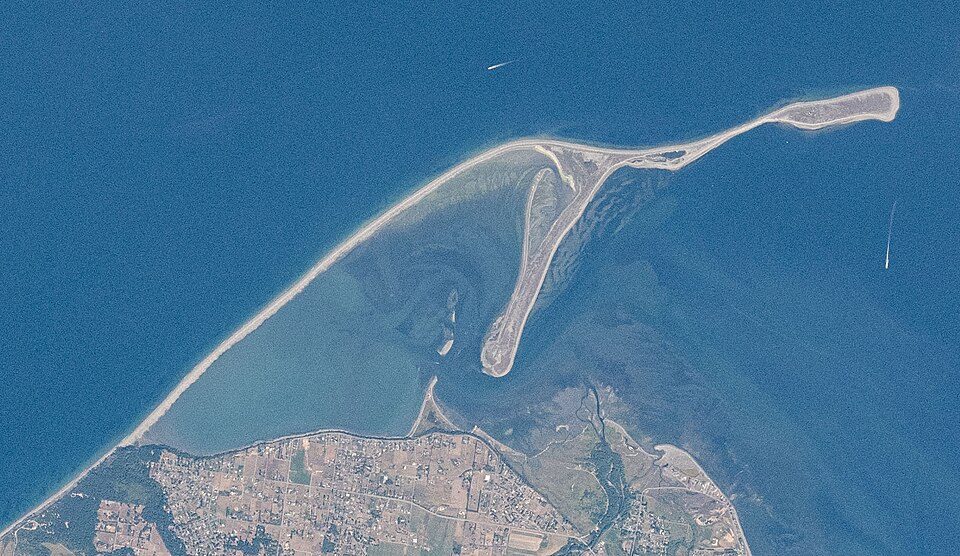 39 mi BeachDungeness Spit
Mount Baker: Walter Siegmund (talk), CC BY 2.5 · Fort Worden: Joe Mabel, CC BY-SA 3.0 · Angel of the Winds Arena: Joe Mabel, CC BY-SA 3.0 · Fort Casey: mikelehen, CC BY 2.0 · Flying Heritage Collection: nsimpson, CC BY-SA 2.0 · Dungeness Spit: Unknown authorUnknown author, Public domain
1 within 15 miles of the center of Conway
About 0 of every 100 Conway residents are enrolled in college, against 6 across Washington.
CDP in Washington, United States
Conway is a census-designated place (CDP) in Skagit County, Washington, United States. First settled in 1873 by Thomas P. Jones and Charles Villeneuves, its population was 87 at the 2020 census. It is included in the Mount Vernon–Anacortes, Washington Metropolitan Statistical Area.
From Wikipedia, licensed CC BY-SA 4.0 · facts via Wikidata (CC0)
Short answers, built from the data on this page.
Conway has fewer than 1,000 residents, too few for fair grades; the figures below are still real.


