149 years in pictures
Census counts: 544 in 1910, 7,705 in 2020. The archive holds 12 old photos and papers going back to 1890 and 4 maps from 1943 on.
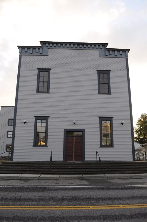
2 places on the National Register of Historic Places.
- 1877Stanwood is settled
Each edition grades its towns against each other only.

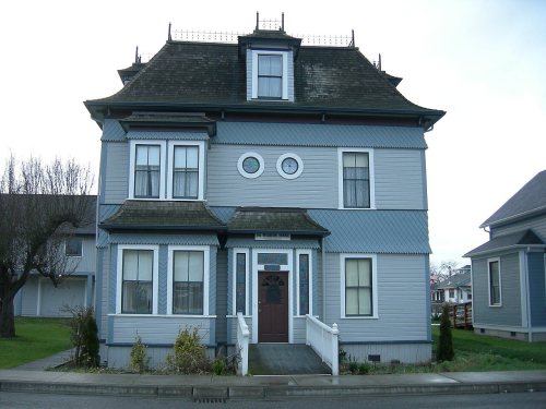
Stanwood grades B− overall, 130th of 285 graded towns in Washington, with clear strengths and some subjects that lag. 6% of its land is conserved. On the other side, FEMA rates its natural-hazard risk higher than 83% of U.S. communities, with earthquakes at the top. Stanwood’s average trip to work is 37 minutes, above both the Washington town median (27 minutes) and the median of U.S. towns (25 minutes). Stanwood has 2 places on the National Register of Historic Places, among them Stanwood IOOF Public Hall and D. O. Pearson House.
Where Stanwood beats most towns.
6,231 counted in 2010 and 7,705 in 2020; an estimated 9,421 in 2025.
Growth hasn’t slowed: 22% since 2020, after 23.7% in the decade before.
U.S. Census 2010 & 2020 counts · Census Bureau estimate, July 1, 2025
Each subject compared with towns across the country (schools within Washington), ordered by how far Stanwood is from typical.
How TownRatings grades towns →
Census counts: 544 in 1910, 7,705 in 2020. The archive holds 12 old photos and papers going back to 1890 and 4 maps from 1943 on.
2 places on the National Register of Historic Places.
Museums, parks, gardens and other places to visit around Stanwood. Close and well known come first.
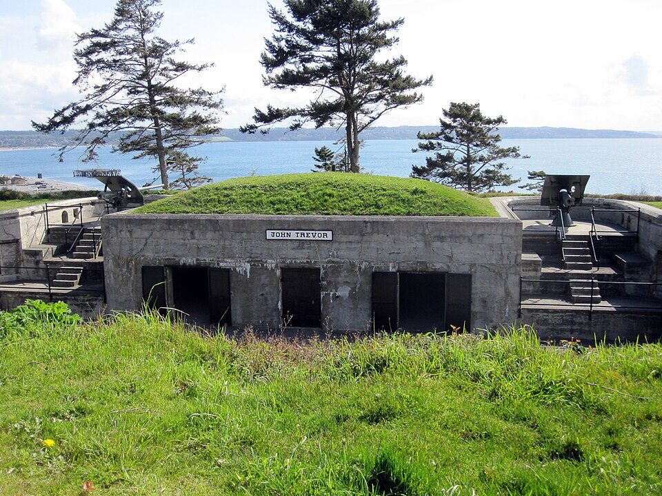
21 mi LandmarkFort Worden
20 mi Stadium & arenaAngel of the Winds Arena
16 mi LandmarkFort Casey
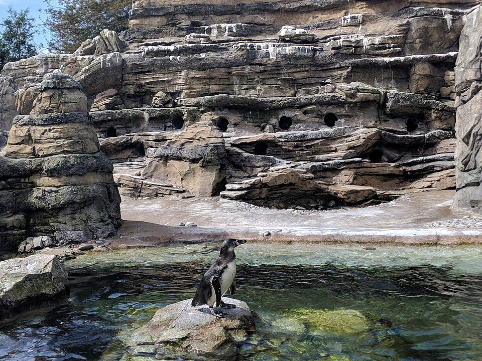
40 mi Zoo & aquariumWoodland Park Zoo
24 mi MuseumFlying Heritage Collection
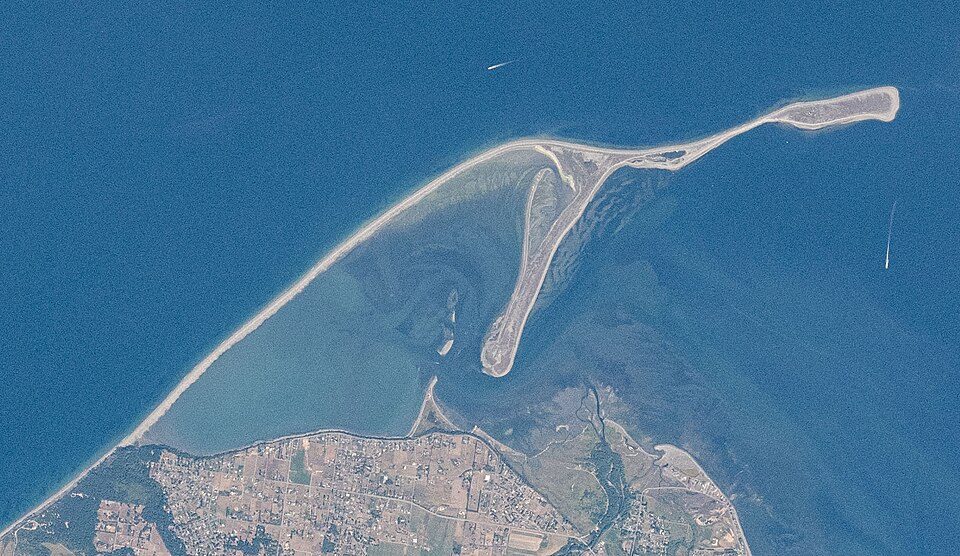
37 mi BeachDungeness SpitFort Worden: Joe Mabel, CC BY-SA 3.0 · Angel of the Winds Arena: Joe Mabel, CC BY-SA 3.0 · Fort Casey: mikelehen, CC BY 2.0 · Woodland Park Zoo: Bernie Ongewe, CC BY-SA 4.0 · Flying Heritage Collection: nsimpson, CC BY-SA 2.0 · Dungeness Spit: Unknown authorUnknown author, Public domain
Who provides power, water and the rest in Stanwood, and how to reach them.
EPA SDWIS (Oct 9, 2026) · HIFLD + EIA-861 2025 · Census 2020 ZCTAs · NCES 2024–25 · registration: vote.gov, updated Sep 30, 2026.
Ordered by what stands out in Stanwood.
Stanwood fares better on crime within Washington than nationally, has cooler summers than nearly all U.S. towns and trades workers with Everett and other neighbors.
Since 1979, 20 flood insurance claims have been paid out in Stanwood.
FEMA flood insurance claims · FEMA National Risk Index · OpenFEMA
Its public schools are run by the Stanwood-Camano School District. Two of its 9 schools are below, each with why it’s listed.
| School | Level | Students | Letter |
|---|---|---|---|
| Port Susan Middle SchoolLargest public middle schoolGrades 6–8 | Grades 6–8 | 530 | – |
| Stanwood High SchoolLargest public high schoolGrades 9–12 | Grades 9–12 | 1,384 | – |
NCES · EDFacts · graded within WA on state tests and graduation
Within Washington it is less healthy than 59% of the 285 graded towns: Washington sets a high bar.
Stanwood beats the Washington average on 1 of 31 CDC measures and trails it on 7. 28% of Stanwood adults have been diagnosed with depression.
| Stanwood | Washington towns | U.S. towns | |
|---|---|---|---|
| Depression (CDC PLACES) | 28% | 26% | 23% |
| Yearly checkup (CDC PLACES) | 72% | 71% | 79% |
| Diabetes (CDC PLACES) | 9.5% | 9.8% | 12% |
| Get no exercise (CDC PLACES) | 20% | 18% | 25% |
| What stands out | Stanwood | WA |
|---|---|---|
| Fewer older adults who have lost all their teeth | 6.7% | 9% |
| More adults with COPD | 6.2% | 5.1% |
CDC PLACES 2025 · modeled estimates for adults · CMS · HRSA
July afternoons average 74.6°, cooler than in 98% of U.S. towns; January nights average 35.8°.
Stanwood has mild winters and cool summers. The July high in Stanwood is 75°F. About 6 inches of snow falls in a winter.
| Stanwood | Washington towns | U.S. towns | |
|---|---|---|---|
| July high | 75°F | 77°F | 85°F |
| January low | 36°F | 35°F | 22°F |
NOAA U.S. Climate Normals, 1991–2020
1.5 miles of trail in 6 parks and preserves. The biggest park or preserve is Heritage Park, at 28 acres.
| Stanwood | Washington towns | U.S. towns | |
|---|---|---|---|
| Conserved land | 6.3% | 4% | 4.3% |
| Miles of trail per square mile | 0.5 miles per square mile | 0.8 | 0.4 |
| Biggest places to walk | Trails | Acres |
|---|---|---|
| 1. Church Creek Park | 0.3 mi | 15 |
| 2. Heritage Park | 0.1 mi | 28 |
| 3. Ovenell Farm Park | 0.1 mi | 21 |
Trails & parks © OpenStreetMap contributors · Conserved land: USGS PAD-US
The typical Stanwood home is worth about $701,000, about the same as a year ago, 19% above the Washington typical home. Stanwood’s median rent is $1,766 a month.
| Stanwood | Washington towns | U.S. towns | |
|---|---|---|---|
| Households that own their home | 62% | 71% | 73% |
| Median rent | $1,766 a month | $1,737 a month | $1,185 a month |
Census ACS, 2020–24 · Zillow Home Value Index · Redfin Data Center
Stanwood has about as many jobs (3,100) as working residents, but only 371 people both live and work here. The average commute takes 37.3 minutes, against 26.6 across Washington.
Most working residents leave Stanwood for work: only 11% work in town. Jobs based in Stanwood grew to 3,100 in 2023, 202 more than in 2013. 17% of workers work from home in Stanwood.
| Stanwood | Washington towns | U.S. towns | |
|---|---|---|---|
| Work from home | 17% | 15% | 11% |
| Working residents who work in town | 11% | 4.8% | 8% |
| Median household income | $90,000 | $98,000 | $80,000 |
Census LEHD 2023 · ACS
At 15.2 crimes per 1,000 residents a year, it reports less crime than 81% of Washington’s graded towns.
FBI crime data, 2025 · crimes reported to police
1 within 15 miles of the center of Stanwood
About 6 of every 100 Stanwood residents are enrolled in college, about the same as Washington.
2 places in Stanwood on the National Register of Historic Places.
City in Washington, United States
Stanwood is a city in Snohomish County, Washington, United States. The city is located 50 miles (80 km) north of Seattle, at the mouth of the Stillaguamish River near Camano Island. As of the 2020 census, its population is 7,705. The Stanwood area has been home to the Stillaguamish people for thousands of years, who originally had a village at the present site of Stanwood. The modern city of Stanwood was later founded in 1866 as Centerville, adopting its current name in 1877 after the arrival of postmaster Daniel O. Pearson. It was platted in 1888 and incorporated as a city in 1903. The city was bypassed by the Great Northern Railway, which built a depot one mile (1.6 km) east that grew int…
From Wikipedia, licensed CC BY-SA 4.0 · facts via Wikidata (CC0)
One town shares a border with Stanwood.
| Town | WA rank | Overall | Cost | Safety | Schools | Health |
|---|---|---|---|---|---|---|
| Stanwood | #130 | B− | C− | B | B+ | B+ |
| Northwest Stanwood | — | — | — | — | — | — |
Northwest Stanwood isn’t graded (fewer than 1,000 residents, or not enough data). Compare Stanwood with a neighbor →
Short answers, built from the data on this page.
Stanwood grades B− overall, better than 49% of U.S. towns and #130 of 285 in Washington. It grades B+ for health, B for safety and B+ for schools. Hazard risk is its weak spot, with a D.
Yes. That is 6.1 years of the area's median household income ($115,177 across the Seattle-Tacoma-Bellevue, WA metro area). Cost of living, which also weighs rents, property taxes and how many households pay 30% or more of their income for housing, grades C−.
2 notable people were born here, including Eugene H. Peterson and Greg Gilday.