
Mount Baker
Mount Baker, also known as Koma Kulshan or simply Kulshan, is a 10,781-foot (3,286 m) active glacier-covered andesitic stratovolcano in the Cascade Volcanic Arc and the North Cascades of Washington State in the United States. Head 10 mi southeast of Glacier to reach it. The pick nearby is Mt Baker, 8.7 mi off.

A mountain, 10 mi southeast of Glacier
One of the most looked-up attractions in the U.S.
About 100K people a year read its Wikipedia article, more than for 97% of the 7,799 attractions we track.
Glacier is the nearest base
Glacier is 10 miles northwest, with 7 places to stay. Where to stay ↓
A day trip from Seattle
Seattle is about 84 miles south (straight-line). Where to stay ↓
Best months: May, Jun, Jul, Aug and Sep
May, June, July, August and September are the mild months, with highs of 63–74°. When to go ↓
Written from NOAA 1991–2020 normals, Overture places to stay, Census town figures, Wikidata and Wikipedia.
The year’s weather
Pick a month for Mount Baker from the weather below.
Mount Baker
Mount Baker, also known as Koma Kulshan or simply Kulshan, is a 10,781-foot (3,286 m) active glacier-covered andesitic stratovolcano in the Cascade Volcanic Arc and the North Cascades of Washington State in the United States. Mount Baker has the second-most thermally active crater in the Cascade Range after Mount St. Helens. About 30 miles (48 km) due east of the city of Bellingham, Whatcom County, Mount Baker is the youngest volcano in the Mount Baker volcanic field. While volcanism has persisted here for some 1.5 million years, the current volcanic cone is likely no more than 140,000 years old, and possibly no older than 80–90,000 years. Older volcanic edifices have mostly eroded away due to glaciation.
- Type
- Mountain
- Elevation
- 10,781 ft
- Wikipedia readers
- 100K a year
Where to base yourself for Mount Baker
Places to stay start in Glacier (7) and Bellingham (36).
Glacier
The closest town with somewhere to stay.
339 people · 66% vacation homes
10 mi northwest of Mount Baker
Compare 8 towns
| Town | From Mount Baker | Drive | Places to stay | People | Typical home | Safety |
|---|---|---|---|---|---|---|
| Glacier 66% vacation homes | 10 mi northwest | 15 min | 7 3 hotels · 1 inn or B&B · 2 lodges & cabins · 1 campground | 339 | $545K | — |
| Bellingham | 30 mi west | 45 min | 36 24 hotels · 6 motels · 3 inns & B&Bs · 2 lodges & cabins · 1 RV park | 96,395 | $628K | D |
| Maple Falls | 16 mi northwest | 25 min | 4 3 hotels · 1 lodge or cabins | 209 | $615K | — |
| Marblemount 29% vacation homes | 24 mi southeast | 35 min | 9 2 hotels · 2 lodges & cabins · 3 campgrounds · 2 RV parks | 291 | $296K | — |
| Concrete | 17 mi south | 25 min | 3 1 hotel · 1 motel · 1 lodge or cabins | 822 | $347K | — |
| Sumas | 26 mi northwest | 40 min | 6 4 hotels · 1 lodge or cabins · 1 RV park | 1,672 | $442K | — |
| Alger | 26 mi southwest | 40 min | 6 1 hotel · 1 inn or B&B · 1 lodge or cabins · 2 campgrounds · 1 RV park | 687 | $700K | — |
| Kendall | 17 mi northwest | 25 min | 2 1 inn or B&B · 1 campground | 657 | $339K | — |
Getting there
Nearest airports with airline service
Beyond Mount Baker
Each of these is within 65 miles.
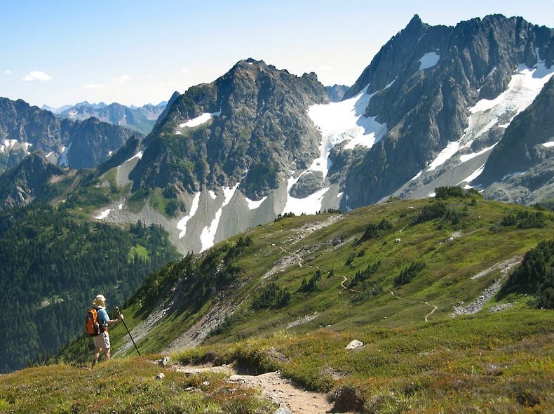 46 mi National ParkNorth Cascades National Park47K visitors a year19 mi Ski areaMt Baker47 runs · 1,475 ft vertical
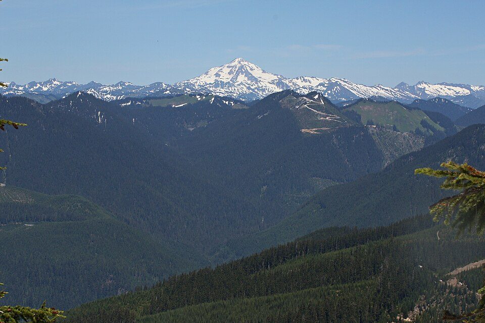 56 mi MountainGlacier Peak
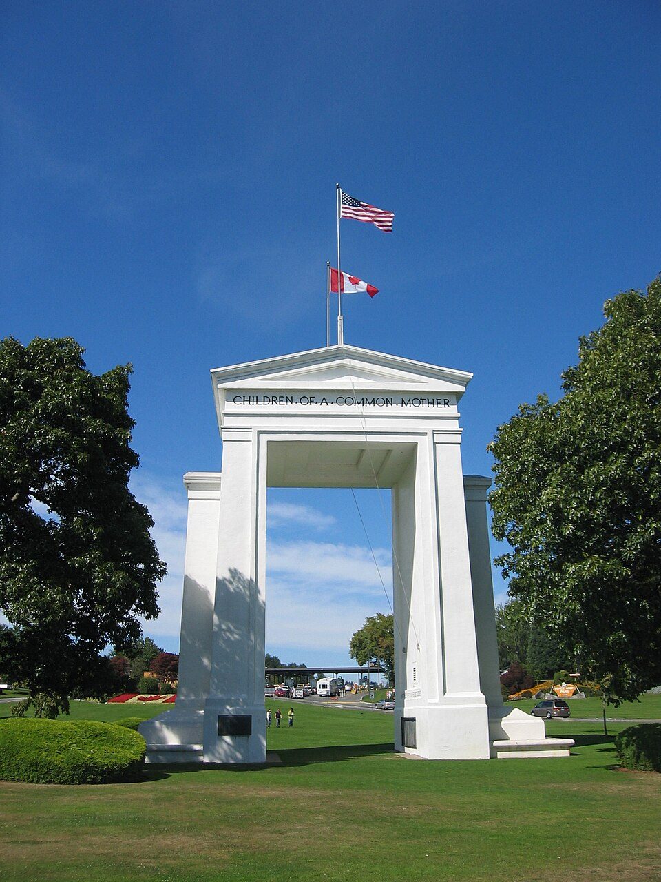 46 mi LandmarkPeace Arch
 62 mi LandmarkFort Worden
 58 mi Stadium & arenaAngel of the Winds Arena
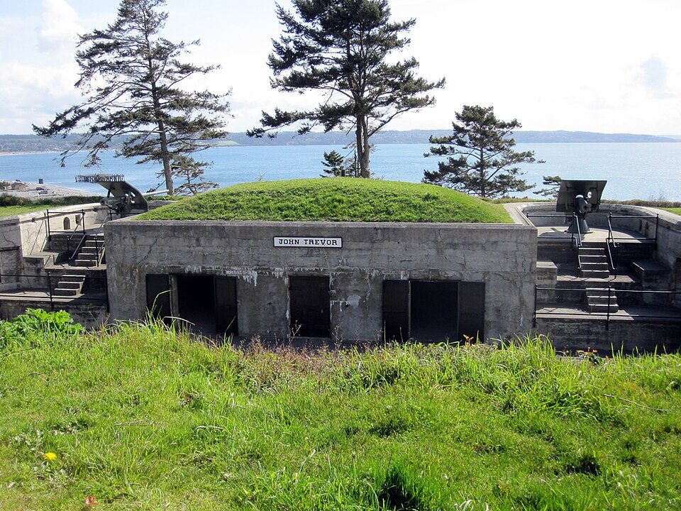 58 mi LandmarkFort Casey
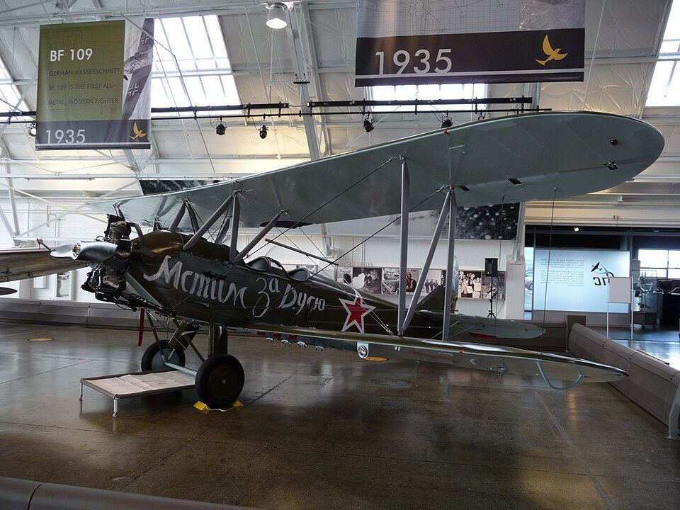 64 mi MuseumFlying Heritage Collection
Photo credits
North Cascades National Park: Daniel Hershman, CC BY 2.0 · Glacier Peak: Walter Siegmund (talk), CC BY-SA 3.0 · Peace Arch: Arnold C (User:Buchanan-Hermit), Attribution · Fort Worden: Joe Mabel, CC BY-SA 3.0 · Angel of the Winds Arena: Joe Mabel, CC BY-SA 3.0 · Fort Casey: mikelehen, CC BY 2.0 · Flying Heritage Collection: nsimpson, CC BY-SA 2.0


Before visiting Mount Baker
What town is Mount Baker near?
Glacier, WA, about 10 miles northwest.
When is the best time to visit Mount Baker?
May, June, July, August and September, with highs of 63–74°.
How far is Mount Baker from Seattle?
About 84 miles south of Seattle, as the crow flies.
What is the closest airport to Mount Baker?
Bellingham (BLI), about 33 miles away. The nearest big hub is Seattle–Tacoma (SEA), about 95 miles.
Where should I stay near Mount Baker?
Glacier (10 mi, 7 places to stay), Bellingham (30 mi, 36 places to stay) and Maple Falls (16 mi, 4 places to stay).
Word from Glacier
Start the conversation in Glacier’s Town Square.
Sources: National Park Service · ski areas © OpenSkiMap / OpenStreetMap contributors · Wikidata · Wikipedia readership · NOAA climate normals · U.S. Census.