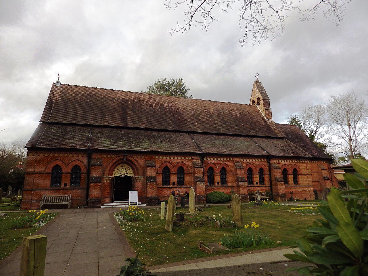
 Photo: Stuart Shepherd · CC BY-SA 2.0
Fleet ranks below 87% of UK towns on households without a car or van: 9.1%
Compared with 21% across England’s towns, 46% of households live in a detached house here. 56% of adults are married or in a civil partnership, more than in 91% of UK towns. Fleet’s 15,510 households held 37,800 residents at the 2021 Census. Across Fleet, 32% of households have dependent children.
Growth of +16% since 2011 puts Fleet ahead of 77% of UK towns
ONS mid-year estimates, each year indexed to mid-2011 = 100. Fleet’s figure is the small areas (2021 LSOAs) that make up the town.
People, mid-2011 = 100
Change by age, 2011 to 2024
About 34,100 people in 2011; 39,600 in 2024.
In one year, mid-2020 to mid-2021, the population rose by 1,020, the most of any year. Change by age ran from +30% for the 65 and over to +5% for the 30 to 44.
Fewer residents aged 15 to 24 than 71% of UK towns: 9.1%
Share of residents in each five-year age band, Census 2021.
45–49 is the most common age band: 7.8% of residents. Fewer residents aged 65 and over than in 63% of UK towns: 20%. As a yardstick, 12% of residents are aged 15 to 24 across England’s towns. In Barton on Sea, the oldest of Hampshire’s towns by this measure, it is 51%.
Median age of UK towns of 2,500+
■ Fleet, 43.6. The typical town is 44.4.
Broad ages · share of residents
Women and men · all residents
51% women, 49% men
About 96 men for every 100 women. Across England, 51% of residents are women.
Fleet sits above 71% of UK towns for residents who moved in within the year (9.8%)
What adults did at the 2021 Census (the ONS’s NS-SEC classes), and where residents lived a year earlier.
Adults by occupation class · residents 16 and over
Address a year before the Census
Residents who lived somewhere else a year earlier. The bar runs to 25%.
Across England’s towns, 33% of adults are in managerial and professional jobs and 24% in routine work; in Fleet, 50% and 14%. The usual figure: 11% of residents lived at another address a year earlier across England’s towns. The share of full-time students stands at 4.9%.
One-person households make up 26% in Fleet, less than in 78% of UK towns
Household make-up at the 2021 Census. Each square is 1% of households.
Against Hampshire’s towns and England’s towns
People per household
England’s towns.
Across England’s towns, 4.3% of households are unrelated adults sharing a home; in Fleet, 2.6%. There are 2.4 people in the average household. The comparison figure for one-person households is 30% across England’s towns.
Fleet ranks below 80% of UK towns on households in terraced houses: 13%
Accommodation type and cars or vans per household, Census 2021. Owning and renting are on Cost of living.
Type of home
Cars or vans · share of households
Across England’s towns, the share of households in flats is 23%; Fleet has 18%. The share of households in terraced houses across England’s towns is 24%.
More residents born abroad than 81% of UK towns: 13% in Fleet
Country of birth, year of arrival and main language, Census 2021.
Born outside the UK, by region · share of all residents; the bar runs to 25%
When those born abroad arrived
Main language · residents aged 3 and over
The share of residents whose main language is English trails 71% of UK towns: 96%. Residents born abroad were most often born in EU countries (4.8%), then in the Middle East and Asia (3.3%). As a reference point, 18% of residents were born outside the UK across England’s towns.
Fleet sits below 76% of UK towns for residents who describe themselves as White British (86%)
How residents described themselves at the 2021 Census. Lines join the lowest and highest of the three figures.
Ethnic groups other than White British · all residents
White British, not charted: 86% of Fleet · Hampshire’s towns 84% · England’s towns 73%.
Religion · all residents
Just over two in five residents said they have no religion, against 37% across England’s towns. The largest groups after White British are Other White (6%), Mixed or multiple (2.3%) and Indian (1.5%). Few places have so few residents who describe themselves as Christian: 49% here, fewer than in 54% of UK towns. By way of comparison, 73% of residents describe themselves as White British across England’s towns.
Adults who have never married make up 27% in Fleet, less than in 83% of UK towns
Legal partnership status (residents 16 and over) and unpaid care (residents 5 and over), Census 2021.
Partnership status · residents 16 and over
Unpaid care given · share of residents 5 and over
Unpaid carers: 7.3%, below 93% of UK towns. 650 residents give 50 hours or more of unpaid care each week. Across England’s towns, adults who have never married come to 39%.
Adults with a degree-level qualification: 45%
Highest qualification, residents 16 and over, Census 2021.
Highest qualification · residents 16 and over
Fleet’s adults: 45% with a degree-level qualification and 10% with none, against 34% and 18% across England’s towns.
From a median age of 36 in Crookham West, Ewshot & Crondall to 49 in Fleet South & Pondtail
The town’s 5 neighbourhoods (ONS middle-layer areas with 500+ residents inside it, named by the House of Commons Library), youngest first. Census 2021.
Fleet South & Pondtail is the oldest area, with 26% aged 65 or over; Crookham West, Ewshot & Crondall the youngest (median age 36). Families with children are most common in Crookham West, Ewshot & Crondall (44% of households).
52nd highest median age among 196 UK towns of 26,000 to 51,000
Median age, Census 2021. Hover a dot for its students and residents born abroad; click for its page.
The youngest is Hatfield (30.3) and the oldest Rustington (56.2). Nearest to Fleet in age: Bamber Bridge (43.5), Wigston (43.6), Redcar (43.7) and Totton (43.7).
Fleet sits below 3 of its 7 closest neighbours on median age
Nearby built-up areas coloured by median age, Census 2021. Tap a town for its page.
| Town | People | Away | Median age | 65+ | Homes with children |
|---|---|---|---|---|---|
| Fleet | 37,800 | — | 43.6 | 20% | 32% |
| Elvetham Heath | 4,916 | 1.5 mi | 37 | 6% | 49% |
| Crondall | 1,220 | 2.8 mi | 47.2 | 24% | 31% |
| Minley | 1,041 | 3.2 mi | 22.3 | 3.9% | 21% |
| Weybourne | 11,241 | 3.4 mi | 44.8 | 22% | 29% |
| Hartley Wintney | 3,465 | 3.6 mi | 52.7 | 32% | 23% |
| Farnborough | 60,665 | 3.6 mi | 38.8 | 16% | 32% |
| Aldershot | 39,827 | 4 mi | 37 | 14% | 32% |
Health, work and homes have their own pages
What this data can and can’t tell you
- “Hampshire’s towns” and “England’s towns” mean their built-up areas. Census comparisons pool every built-up area in Hampshire (or England), summed the same way as Fleet’s figures, so households in open countryside are left out. The population trend compares with the whole county and nation.
- Estimates since 2021 are modelled. The ONS builds mid-year estimates from the Census, births, deaths and migration records. Fleet’s trend uses the small areas (2021 LSOAs) with most of their people inside it: 38,497 people in 2021, against 37,800 in the built-up area.
- Small counts are blurred. The ONS adds small random changes to Census counts to protect privacy, so the same total differs a little between tables, and the shares of a small town can move by a point or two.
Questions about Fleet’s residents
What is the population of Fleet?
The 2021 Census counted 37,800 people in Fleet’s built-up area. The ONS estimates the same small areas held 39,600 people in mid-2024, 16% more than in 2011.
What is the average age in Fleet?
The median age was 43.6 at the 2021 Census, younger than 57% of UK towns. 9.1% of residents were 15 to 24 and 20% were 65 or over.
How diverse is Fleet?
86% of residents described themselves as White British in 2021, against 73% across England’s towns and 84% across Hampshire’s towns. 13% were born outside the UK.
What religion are people in Fleet?
42% said they had no religion and 49% that they were Christian at the 2021 Census; 0.8% were Muslim and 5.8% didn’t answer.
Is Fleet good for families?
32% of households had dependent children in 2021, against 29% across England’s towns. Families are most common in Crookham West, Ewshot & Crondall (44% of households). Schools are on Fleet’s schools page.
Sources: ONS Census 2021, output areas summed to the ONS 2022 built-up area (TS002, TS003, TS004, TS007A, TS008, TS015, TS017, TS019, TS021, TS029, TS030, TS039, TS044, TS045, TS062, TS067) · ONS mid-year population estimates for 2021 LSOAs, mid-2011 to mid-2024 · House of Commons Library MSOA names. All under the Open Government Licence v3.0.
Contains public sector information licensed under the Open Government Licence v3.0. Contains HM Land Registry data © Crown copyright and database right 2026. Contains OS data © Crown copyright and database right 2026 (ONS boundaries). Northern Ireland: Source: NISRA; contains Land & Property Services data and Ordnance Survey of Northern Ireland information, © Crown copyright, licensed under the Open Government Licence v3.0. Scotland: contains National Records of Scotland data, Registers of Scotland data and SEPA data, © Crown copyright / © SEPA 2025, licensed under the Open Government Licence v3.0.