Guest, Sign inJoin

Post to Brownsville

We’ll email a one-tap link to publish your post. No password, and nothing is public until you click it.
Already a member? Sign in
Brownsville
Texas›Cameron County
Fort Brown · Photo: Pi3.124 · CC BY-SA 3.0
Photo of Brownsville

Brownsville, TX · Fort Brown · Photo: Pi3.124 · CC BY-SA 3.0

Is Brownsville a good place to live?

Brownsville earns a D, ranked 559th of 640 in Texas, mostly because of health and incomes. Residents are less healthy than 81% of U.S. towns on CDC estimates. The median household income is $52K, and 24% of residents live below the poverty line. What it does well: it has 177 miles of trail. 54% of working residents work locally in Brownsville, above both the Texas town median (8.3%) and the median of U.S. towns (8%). Its National Register listings include Fort Brown and Palo Alto Battlefield National Historic Site. Brownsville's civic life (library use, community groups, volunteering) trails 99% of U.S. towns.

What makes Brownsville stand out

Where Brownsville beats most towns.

Fort Brown
Fort Brown · National Register of Historic Places
Brownsville’s story

178 years in pictures

Fort Brown is one of 3 National Historic Landmarks here, the National Register’s top tier.

Census counts: 519 in 1850, 186,738 in 2020. The archive holds 6 old photos and papers going back to 1851 and 4 maps from 1930 on.

30 places on the National Register of Historic Places.

  • 1848Brownsville is founded
Explore the history →

How Brownsville grades

Each subject compared with towns across the country (schools within Texas), ordered by how far Brownsville is from typical.

How grading works

Character Graded, but not part of the overall grade.
Described, not graded Taste, not quality: snow or an older crowd is neither good nor bad.

How TownRatings grades towns →

Getting set up

Moving to Brownsville: who provides what

Who provides power, water and the rest in Brownsville, and how to reach them.

The full setup list →
PowerMagic Valley Electric Coop10.5¢/kWh · EIA 2025HIFLD · EIA
WaterBrownsville Public Utilities BoardNo health-based violations in 5 years · EPAEPA
Internet8 providers98% of addresses get 100/20 MbpsFCC
Trash & dumpFrom the town’s siteTrash and recycling rulesTown site
SchoolsBrownsville Independent School DistrictLos Fresnos Consolidated Independent School District2 districts serve Brownsville; which school depends on your address and gradeNCES
Register to voteIn personTexas has no online registration; you can register in person until 30 days before Election Day or by mail (postmarked 30 days before).vote.gov
Who runs elections hereCameron County Early Voting ClerkCameron County; contacts on the Handbook page.FVAP, Jun 2023
ZIP codes78521, 78520, 7852678521 41% · 78520 33% · 78526 24%Census 2020

EPA SDWIS (Oct 9, 2026) · HIFLD + EIA-861 2025 · Census 2020 ZCTAs · NCES 2024–25 · registration: vote.gov, updated Nov 18, 2024.

The data

Ordered by what stands out in Brownsville.

Brownsville reports less crime than San Benito or any other graded neighbor, has more 90° days than nearly all U.S. towns and is healthier than towns with similar incomes.

OutdoorsA−

Brownsville has set aside 18.3% of its land for conservation

Brownsville’s trail network density comes in at 1.4 miles per square mile. Laguna Atascosa National Wildlife Refuge, at 2,969 acres with 5.1 miles of trail, is the biggest park or preserve. It has 31 parks and preserves, 13,236 acres in all.

#40for trails in TX
18.3%
conserved · 15,000 of 81,935 acres
177 mi
of trails · 1.4 per sq mi
Biggest places to walkTrailsAcres
1. Lower Rio Grande Valley National Wildlife Refuge15.7 mi7,648
2. World Birding Center - Resaca De La Palma State Park8.5 mi1,381
3. Sabal Palm Sanctuary8.1 mi562

Trails & parks © OpenStreetMap contributors · Conserved land: USGS PAD-US

SchoolsB

Brownsville’s schools rank ahead of 55% of Texas districts

Of its 85 schools, three are listed below, each with the reason. Brownsville ISD runs its public schools. Public school enrollment here: 4,793 students across 6 schools.

55%of TX districts it outscoresBSchool Grade
SchoolLevelStudentsLetter
Stillman MiddleLargest public middle schoolGrades 6–8Grades 6–8964B−
Veterans Memorial Early College H SLargest public high schoolGrades 9–12Grades 9–122,216A−
Brownsville Early College H STop results in townGrades 9–12Grades 9–12311A+

NCES · EDFacts · graded within TX on state tests and graduation

HealthC−

For health, Brownsville earns a C−

Against the 6,508 U.S. towns with household incomes like Brownsville’s, it is less healthy than 59%, so that grade isn’t only a matter of income.

In Brownsville, 38% of adults get no exercise outside work. The town beats the Texas average on 1 of 31 CDC measures and trails it on 17. Just over a third of adults in Brownsville worry about having enough food; 32% say their health is fair or poor.

19%healthier than U.S. townsC−Health Grade
BrownsvilleTexas townsU.S. towns
Diabetes (CDC PLACES)19%13%12%
Food insecurity (CDC PLACES)35%20%14%
No health insurance, 18–64 (CDC PLACES)37%18%8.1%
Fair or poor health (CDC PLACES)32%24%19%
31 measures vs. Texas
1 better13 too close to call17 worse
What stands outBrownsvilleTX
Fewer adults who have had cancer4.5%6.1%
More uninsured adults36.5%19.1%
Valley Regional Medical Center
2.3 mi away · emergency room
3 of 3
care shortages: primary care, dental, mental health
29th
percentile among TX towns

CDC PLACES 2025 · modeled estimates for adults · CMS · HRSA

SafetyC−

More crime per resident in Brownsville than in 79% of U.S. towns

Crime runs higher than in most U.S. towns, but its C− tops all 3 graded towns on its borders; San Benito (C−) comes closest. Reported crimes fell from 4,608 to 3,709 over the last three FBI years, a drop beyond ordinary year-to-year swings.

Brownsville’s level of violent crime stands at 4 per 1,000 residents. Its level of property crime comes in at 15.2 per 1,000 residents.

21%of U.S. towns report more crimeC−Safety Grade
BrownsvilleTexas townsU.S. towns
Violent crimes per 1,000 (2025)4 per 1,000 residents1.91.6
Property crimes per 1,000 (2025)15.2 per 1,000 residents10.79.9

Violent crime per 1,000 residents

Brownsville4
Texas3.5
U.S.3.3

Property crime per 1,000 residents

Brownsville15.2
Texas18.1
U.S.15.5
21st
percentile among U.S. towns we grade
22nd
percentile among TX towns
779
violent crimes reported in 2025
2,930
property crimes reported in 2025

FBI crime data, 2025 · crimes reported to police

HousingCost of living grade C

Homes in Brownsville are worth about $195K, by Zillow’s estimate

Home values rose 31% in five years, to about $195K, against 10% across Texas.

On the market in Brownsville: a median 51 days to sell. In Brownsville, the median rent is $923 a month. For households here, the share who own their home is 62%.

$195KZillow home value
BrownsvilleTexas townsU.S. towns
Households that own their home62%69%73%
Median rent$923 a month$1,208 a month$1,185 a month

Typical home value

Brownsville$195K
Texas$296K
Market temperature
BalancedA balanced marketBuyer’sSeller’s
51
days on market
99.5%
sale-to-list price
+1.4%
value change, 1 year
82
homes sold in May

Census ACS, 2020–24 · Zillow Home Value Index · Redfin Data Center

Natural hazardsHazard risk grade C−

Top of a high hazard risk in Brownsville: hurricanes

579 flood insurance claims have been filed here, and 62 properties have flooded more than once.

Households in Brownsville have drawn federal disaster aid in 10 declared disasters, most recently in 2025. Storm and flood damage is expected to run higher than in 75% of U.S. communities. The national flood insurance program has paid 579 claims here since 1978. Of the losses FEMA expects locally, 51% come from hurricanes and 21% from cold waves.

75risk score of 100
FEMA risk score
75High riskLowerHigher
HurricanesCold wavesInland flooding
579
paid flood claims since 1978
10
federal disasters paid out here

FEMA disaster declarations and aid · FEMA flood insurance claims · FEMA National Risk Index · OpenFEMA

Climate

Brownsville stands out in Texas and nationally: a typical January night there is milder

The Brownsville weather station, 6 miles away, records that about 141 days a year reach 90°, more than in 99% of U.S. towns. January nights average 51.6°, milder than in 99% of U.S. towns; July afternoons average 94.3°.

Snow is a rarity. Brownsville has warm winters and hot summers. In Brownsville, the peak summer temperature is 94°F.

96°summer high
BrownsvilleTexas townsU.S. towns
January low52°F37°F22°F
July high94°F95°F85°F

Typical low → high °F

Winter54–73°
Spring66–85°
Summer76–95°
Fall66–86°
+1.2°
vs. the 20th-century average
96°
typical summer high

NOAA U.S. Climate Normals, 1991–2020

Work & commuteJobs & income grade C−

More than half of Brownsville’s working residents work in town

Brownsville’s typical journey to work is 21 minutes. It had 60,903 jobs in 2023, up 7,663 from 2013. The top destinations are Harlingen (6%), McAllen (3%) and Houston (2%).

54%work in town
BrownsvilleTexas townsU.S. towns
Average trip to work21 minutes25 minutes25 minutes
Median household income$52,000$69,000$80,000
Work from home8.4%9.7%11%

Where working residents work

In Brownsville54%
Harlingen6%
McAllen3%
Houston2%
San Antonio2%
6 mi
median commute distance
60,903
jobs based in Brownsville
Balanced
jobs vs. working residents
B−
Walkability grade: more walkable than 53% of U.S. towns

Census LEHD 2023 · ACS

Who lives here

Fewer middle-aged adults than Texas overall

Among residents in Brownsville, 28% are under 18. Adults 35 to 64 are 33% of residents (38% statewide). The midpoint age for Brownsville comes to 31.2 years. Since 2020, Brownsville has grown 3.6%, to 192,957 residents in the Census Bureau’s 2025 estimate.

31.2median age · TX 35.6
BrownsvilleTexas townsU.S. towns
Median age31.2 years35.9 years40.5 years
Under 1828%26%22%
Aged 65 or older13%14%18%
Bachelor’s degree or more, 25+25%23%29%
BrownsvilleTexasUnited States

Ages · share of residents

Education · adults 25 and older

No diploma28%
High school24%
Some college16%
Associate’s7%
Bachelor’s17%
Graduate7%

Women and men · all residents

51.4% women, 48.6% men

About 95 men for every 100 women. Across Texas, 50.1% of residents are women. Median age: women 33.3, men 29.8.

Ages and education in Brownsville
BrownsvilleTXU.S.
Under 1015.4%13.3%11.6%
10 to 1713%11.7%10.3%
18 to 2412.4%9.7%9.1%
25 to 3413.6%14.5%13.7%
35 to 4412.2%14.1%13.2%
45 to 5412%12.3%12.2%
55 to 648.5%11.1%12.7%
65 to 747.7%8.2%10.2%
75 and older5.3%5.2%7%
No diploma28%14%10.4%
High school24.3%24.3%26%
Some college16%20.1%19.1%
Associate’s7.3%7.7%8.8%
Bachelor’s17.3%21.5%21.6%
Graduate7.3%12.3%14.1%

Census population estimates, 2025 · U.S. Census Bureau · ACS 2020-2024 5-year estimates

Nearby attractions

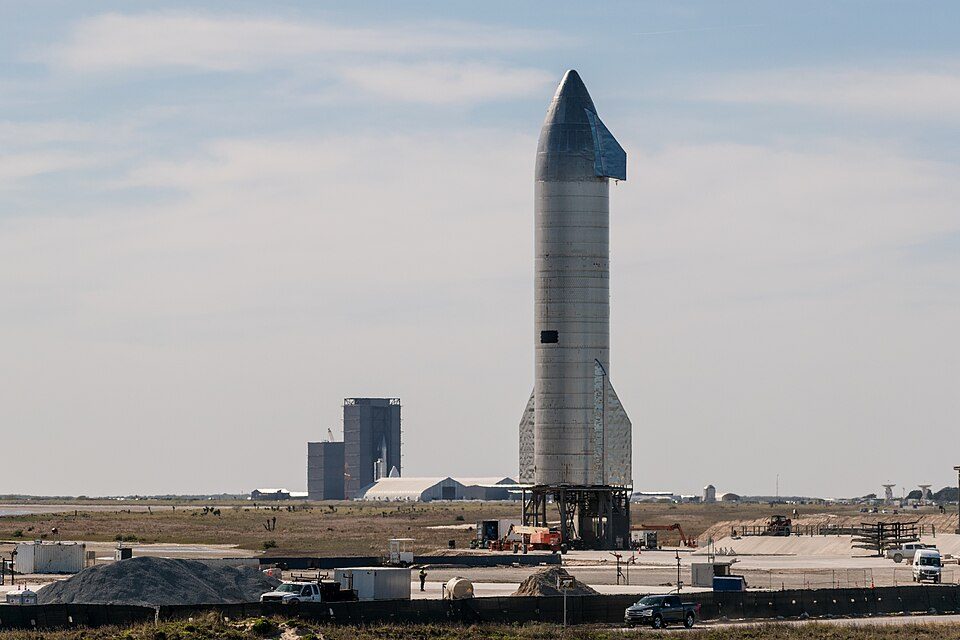
Starbase and 3 more within 40 miles

Museums, parks, gardens and other places to visit around Brownsville. Close and well known come first.

All 11 attractions →
Sources: National Park Service · ski areas © OpenSkiMap / OpenStreetMap contributors · Wikidata · Wikipedia readership · photos via Wikimedia Commons
Photo credits

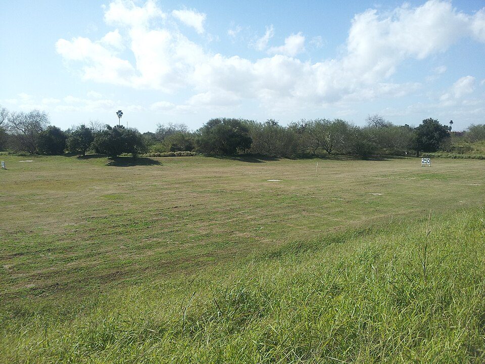
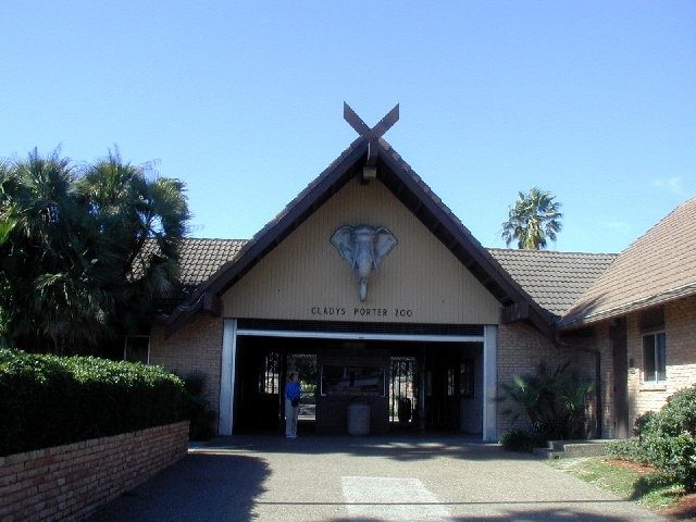
Starbase: Jared Krahn, CC BY-SA 4.0 · Fort Brown: Pi3.124, CC BY-SA 3.0 · Gladys Porter Zoo: Jc161991, CC BY-SA 3.0 · Palo Alto Battlefield National Historical Park: Schmorleitz, CC BY-SA 3.0

Keep exploring

Everything we know about Brownsville

20pages on Brownsville
After high school

Colleges nearby

1 within 15 miles of the center of Brownsville

College town

Texas Southmost College calls Brownsville home

College Scorecard · IPEDS

Landmarks

30 places in Brownsville on the National Register of Historic Places.

All landmarks →

Famous people from Brownsville

33 notable people were born in Brownsville.

See all 33 →

About Brownsville

City in Texas, United States

Official town website ↗

Brownsville ( BROWNZ-vil) is a city in the U.S. state of Texas and the largest city and county seat of Cameron County, located on the western Gulf Coast in South Texas, adjacent to the border with Matamoros, Tamaulipas, Mexico. The city covers 145.2 sq mi (376.066 km2), and had a population of 186,738 at the 2020 census. As of the 2020 U.S. census, it is the 136th-most populous city in the United States and 18th-most populous in Texas. It is part of the Matamoros–Brownsville metropolitan area. The city is known for its year-round subtropical climate, deep-water seaport, and Hispanic culture. The city was founded in 1848 by American entrepreneur Charles Stillman after he developed a successf…

From Wikipedia, licensed CC BY-SA 4.0 · facts via Wikidata (CC0)

Established
1849
Area
146 sq mi
Elevation
33 ft
ZIP code
78520, 78521, 78522
Area code
956

Brownsville’s neighbors

8 towns share a border with Brownsville.

Explore the map →

Encantada-Ranchito-El Calaboz next door grades lower for schools (C− to Brownsville’s B) and higher for cost of living (A+ to C).

How the neighbors grade
TownTX rankOverallCostSafetySchoolsHealth
Brownsville#559DCC−BC−
Encantada-Ranchito-El Calaboz#512DA+—C−D−
Port Isabel#638D−C−C−C−C−
Villa Pancho——————
Los Fresnos#545DC−DB+C−
Reid Hope King——————
Del Mar Heights——————
San Benito#600D−BC−C−D

Encantada-Ranchito-El Calaboz reports no FBI crime data of its own. Villa Pancho, Reid Hope King and Del Mar Heights aren’t graded (fewer than 1,000 residents, or not enough data). Compare Brownsville with a neighbor →

Questions about Brownsville

Short answers, built from the data on this page.

Is Brownsville, TX a good place to live?

Brownsville grades D overall, better than 6% of U.S. towns and #559 of 640 in Texas. It grades C− for health, C− for safety and B for schools. Health is its weak spot, with a C−.

Is Brownsville, TX expensive?

That is 3.7 years of the area's median household income ($52,601 across the Brownsville-Harlingen, TX metro area). Cost of living, which also weighs rents, property taxes and how many households pay 30% or more of their income for housing, grades C.

What is Brownsville, TX known for?

33 notable people were born here, including Kris Kristofferson and Bruce Sterling.