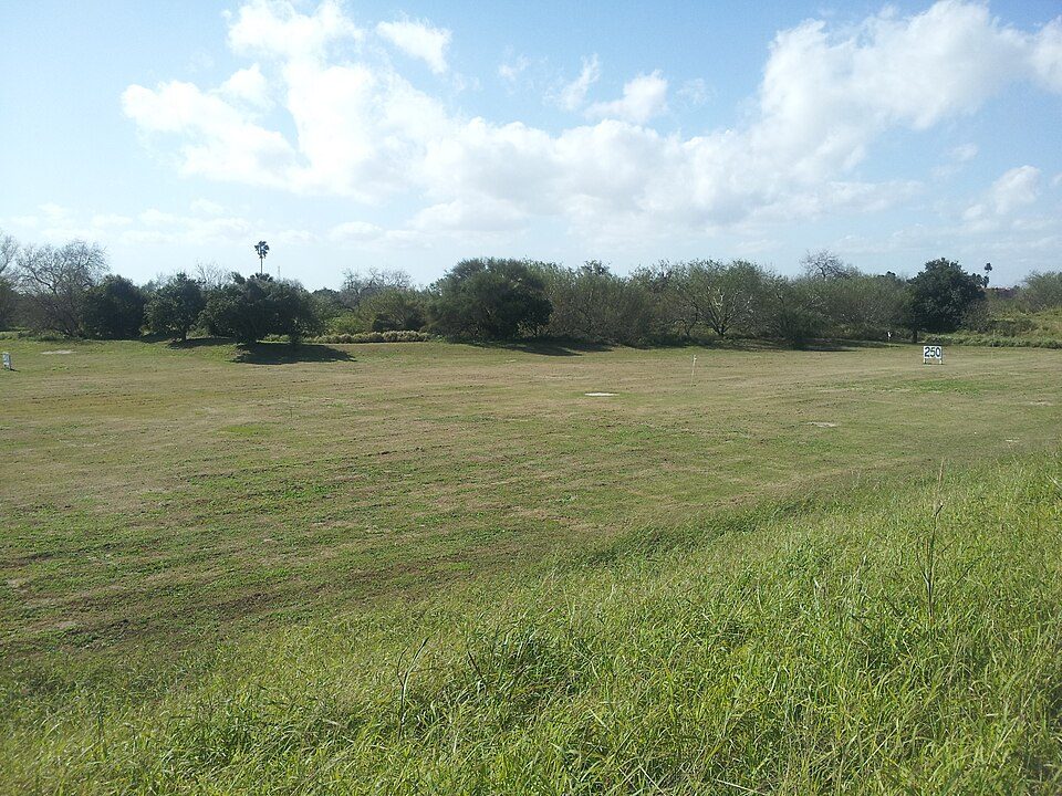
Fort Brown
Fort Brown (originally Fort Texas) was a military post of the United States Army in Cameron County, Texas, during the latter half of the 19th century and the early part of the 20th century.

A landmark inside Brownsville
Summers are hot
July and August highs run 94–96°, and about 141 days a year reach 90°. When to go ↓
You can stay in Brownsville
Fort Brown is inside Brownsville, which has 51 places to stay, so you won’t need a base farther out. Where to stay ↓
Best months: Jan, Feb, Mar, Nov and Dec
January, February, March, November and December are the mild months, with highs of 71–80°. When to go ↓
An airport 5 miles away
Brownsville South Padre Island (BRO) has airline service, about 5 miles from Fort Brown.
Written from NOAA 1991–2020 normals, Overture places to stay, Census town figures, Wikidata and Wikipedia.
Weather, month by month
Typical highs and lows in Brownsville. Green months are the mild ones.
Fort Brown
Fort Brown (originally Fort Texas) was a military post of the United States Army in Cameron County, Texas, during the latter half of the 19th century and the early part of the 20th century. Established in 1846, it was the first US Army military outpost of the recently annexed state. Confederate Army troops stationed there saw action during the American Civil War. In the early 20th century, it was garrisoned in relation to military activity over border conflicts with Mexico. Surviving elements of the fort were designated as a National Historic Landmark in 1960.
- Type
- Landmark
- Listed
- National Historic Landmark (1960) · National Register of Historic Places (1966)
- Wikipedia readers
- 8K a year
Where to stay near Fort Brown
The closest towns with hotels, motels or campgrounds are Brownsville (51) and South Padre Island (58).
Compare 8 towns
| Town | From Fort Brown | Drive | Places to stay | People | Typical home | Safety |
|---|---|---|---|---|---|---|
| Brownsville | in town | — | 51 33 hotels · 9 motels · 3 campgrounds · 6 RV parks | 192,957 | $140K | C− |
| South Padre Island 67% vacation homes | 26 mi northeast | 40 min | 58 49 hotels · 5 motels · 3 lodges & cabins · 1 campground | 2,086 | $517K | D− |
| Harlingen | 25 mi northwest | 35 min | 37 18 hotels · 6 motels · 1 inn or B&B · 3 campgrounds · 9 RV parks | 72,467 | $141K | C− |
| Port Isabel | 17 mi northeast | 25 min | 13 5 hotels · 1 motel · 2 inns & B&Bs · 1 campground · 4 RV parks | 5,302 | $183K | C− |
| San Benito | 19 mi northwest | 30 min | 12 5 hotels · 3 motels · 2 campgrounds · 2 RV parks | 24,980 | $85K | C− |
| Los Fresnos | 13 mi north | 20 min | 3 1 hotel · 2 RV parks | 8,703 | $152K | D |
| Reid Hope King | 6 mi northeast | 10 min | 1 1 hotel | 932 | $108K | — |
| South Point | 7 mi east | 10 min | 1 1 hotel | 1,054 | $86K | — |
Getting there
Nearest airports with airline service
Also near Fort Brown
Other well-known places within 52 miles. Numbered ones are on the map above.
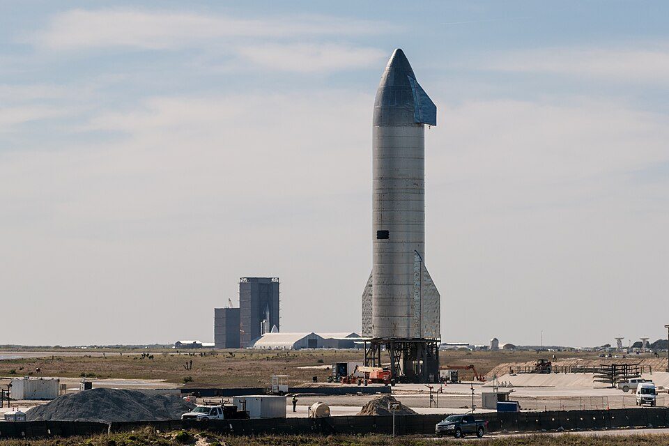 Big draw120 mi Park & preserveStarbase
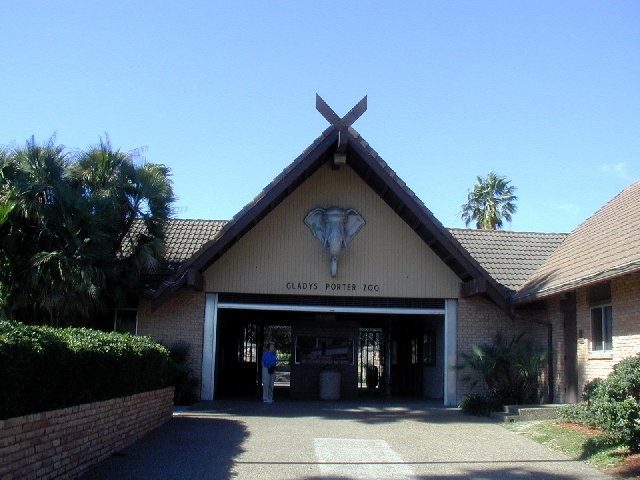 22 mi Zoo & aquariumGladys Porter Zoo
 39 mi National Historical ParkPalo Alto Battlefield National Historical Park169K visitors a year48 mi Stadium & arenaRobert and Janet Vackar Stadium
 49 mi Stadium & arenaBert Ogden Arena
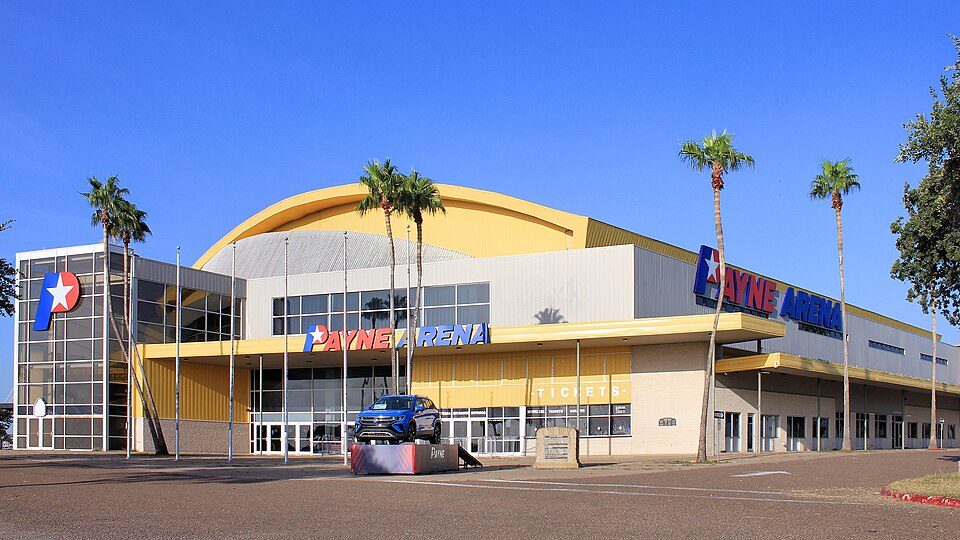 50 mi Stadium & arenaPayne Arena50 mi MuseumMuseum of South Texas History
 51 mi GardenMcAllen Botanical Gardens
Photo credits
Starbase: Jared Krahn, CC BY-SA 4.0 · Gladys Porter Zoo: Jc161991, CC BY-SA 3.0 · Palo Alto Battlefield National Historical Park: Schmorleitz, CC BY-SA 3.0 · Bert Ogden Arena: Wikidude10000, CC0 · Payne Arena: Larry D. Moore, CC BY 4.0 · McAllen Botanical Gardens: Whitney Cranshaw, Colorado State University, United States, CC BY 3.0 us


Visiting Fort Brown
Is Fort Brown in Brownsville?
Yes. It’s inside Brownsville, TX.
When is the best time to visit Fort Brown?
January, February, March, November and December, with highs of 71–80°.
What is the closest airport to Fort Brown?
Brownsville South Padre Island (BRO), about 5 miles away.
Where should I stay near Fort Brown?
Brownsville (in town, 51 places to stay), South Padre Island (26 mi, 58 places to stay) and Harlingen (25 mi, 37 places to stay).
Tips from people in Brownsville
No tips yet. Ask, or answer, in Brownsville’s Town Square.
Sources: National Park Service · ski areas © OpenSkiMap / OpenStreetMap contributors · Wikidata · Wikipedia readership · NOAA climate normals · U.S. Census.