Del Mar HeightsTX
A town.
Is Del Mar Heights a good place to live?
Del Mar Heights’ trail density is 22.5 miles per square mile, above both Texas’ towns (0.3) and U.S. towns (0.4). We don’t grade Del Mar Heights yet; the figures below are still real.
Moving to Del Mar Heights: who provides what
Del Mar Heights is unincorporated, so Cameron County and regional agencies provide most services.
EPA SDWIS (Oct 9, 2026) · HIFLD + EIA-861 2025 · Census 2020 ZCTAs · NCES 2024–25 · registration: vote.gov, updated Nov 18, 2024.
The data
Ordered by what stands out in Del Mar Heights.
The biggest natural risk in Del Mar Heights is hurricanes, at a high overall level
Expected losses in Del Mar Heights break down as 57% from hurricanes and 15% from inland flooding. Del Mar Heights’ natural-hazard score from FEMA stands at 73 of 100.
FEMA National Risk Index · OpenFEMA
Mild winters and hot summers in Del Mar Heights
The midsummer high for Del Mar Heights comes to 94°F, against 95°F in Texas’ towns and 85°F across U.S. towns.
Typical low → high °F
NOAA U.S. Climate Normals, 1991–2020
A larger share of adults in Del Mar Heights have diabetes than in the typical Texas or U.S. town
For adults here, the share who get no exercise outside work is 42%. Del Mar Heights: 37% of adults say their health is fair or poor.
| Del Mar Heights | Texas towns | U.S. towns | |
|---|---|---|---|
| Fair or poor health (CDC PLACES) | 37% | 24% | 19% |
| Diabetes (CDC PLACES) | 22% | 13% | 12% |
| Get no exercise (CDC PLACES) | 42% | 30% | 25% |
| No health insurance, 18–64 (CDC PLACES) | 44% | 18% | 8.1% |
| What stands out | Del Mar Heights | TX |
|---|---|---|
| Fewer adults who have had cancer | 3.7% | 6.1% |
| Fewer adults with arthritis | 18.7% | 21.6% |
| More uninsured adults | 44.1% | 19.1% |
CDC PLACES 2025 · modeled estimates for adults · CMS · HRSA
Trails & parks © OpenStreetMap contributors · Conserved land: USGS PAD-US
Starbase and 4 more within 40 miles
Museums, parks, gardens and other places to visit around Del Mar Heights. Close and well known come first.
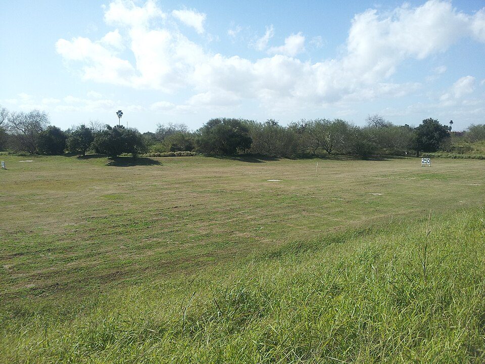
 Big draw16 mi Park & preserveStarbase
 13 mi LandmarkFort Brown
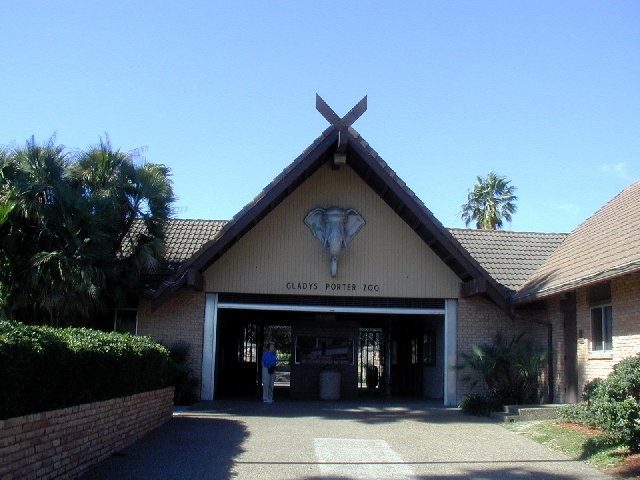 11 mi Zoo & aquariumGladys Porter Zoo
 2 mi National Historical ParkPalo Alto Battlefield National Historical Park169K visitors a year
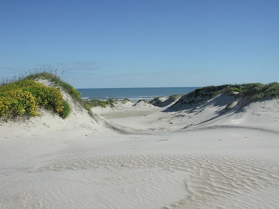 36 mi National SeashorePadre Island National Seashore573K visitors a year
Photo credits
Starbase: Jared Krahn, CC BY-SA 4.0 · Fort Brown: Pi3.124, CC BY-SA 3.0 · Gladys Porter Zoo: Jc161991, CC BY-SA 3.0 · Palo Alto Battlefield National Historical Park: Schmorleitz, CC BY-SA 3.0 · Padre Island National Seashore: Unknown authorUnknown author, Public domain


Everything we know about Del Mar Heights
Colleges nearby
1 within 15 miles of the center of Del Mar Heights
Del Mar Heights’s neighbors
One town shares a border with Del Mar Heights.
| Town | TX rank | Overall | Cost | Safety | Schools | Health |
|---|---|---|---|---|---|---|
| Del Mar Heights | — | — | — | — | — | — |
| Brownsville | #559 | D | C | C− | B | C− |
Del Mar Heights isn’t graded (fewer than 1,000 residents, or not enough data). Compare Del Mar Heights with a neighbor →
Questions about Del Mar Heights
Short answers, built from the data on this page.
Is Del Mar Heights, TX a good place to live?
We don’t grade Del Mar Heights yet; the figures below are still real. A town.