On its age, its old homes and the National Register, Charlestown is more historic than 44% of U.S. towns. Its share of homes from before 1940 holds the grade up; its National Register listings pull it down.
C+
HistoryA character grade: shown, never part of Charlestown’s overall grade.
Rhode Island towns list more on the Register than most of the country (a typical Rhode Island town has 94.7 per 10,000 residents, the U.S. 2.4), so Charlestown’s 8.7 sits below most of its state (3% of Rhode Island towns have fewer) while its 7 listings outnumber those of 73% of U.S. towns.
How sure. Graded on two of the three inputs, so a change in either one moves the letter more than it would with three. The pre-1940 share is a Census survey estimate (±3.6 points).
Founding year: our sources. Homes: Census ACS 2020–24. National Register: National Park Service, May 2026 list; each listing counted once (boundary changes and added documentation belong to their listing), and a historic district counts its contributing buildings. How TownRatings grades history →
What stands out about Charlestown’s past
Read from the archive, the National Register and the record. The page puts what stands out first.
Charlestown Historical Society SchoolhouseschoolCharlestown Naval Auxiliary Air StationmilitaryDistrict Schoolhouse Number 2schoolWillows Resort Airportairport
5cemeteries and burying grounds inside Charlestown
BurdickCross MillsIndianRoyal IndianWorden Family
US Post Offices dataset (Blevins & Helbock, CC0). Places and cemeteries from the USGS Geographic Names Information System (2021).
Help out
Start Charlestown’s collection
The first neighbors to add old photos shape how Charlestown’s history is told.
Decades since 1900 with photos
00s10s20s30s40s50s60s70s80s90s
1 of 10 decades. The empty ones are waiting for someone’s album.
One of the first written records of European contact in Charlestown dates back as early as the 1630s, when Col. John Mason marched to Connecticut to battle the Pequots. In 1660, a private company organized in Newport purchased the land known as Misquamicoke or Misquamicut, the purchased land consisting of the present-day towns of Westerly, Charlestown, Richmond, and Hopkinton, which would later become the Town of Westerly in 1669.
Passages that mention Charlestown, cut from the printed page as they were published.
Historical sketch of the town of Charlestown in Rhode Island1877 · page 52Read the page →
Read the text
But on the 18th day of August, 1747, an act was likewise passed dividing the town of Charlestown into two divisions, to be distinguished by the names of Charlestown and Richmond ; aad the Pawcatuck River was selected as a natural and fixed boundary between the two towns. At the first census, taken in 1748, Charlestown had a population of 1,002 ; and in 1774 a population of 1,821 ; while the present population, according to the last census, taken in 1875, is 1,054.
Text read by machine from the scan; it may contain errors.
Historical sketch of the town of Charlestown in Rhode Island1877 · page 25Read the page →
Read the text
town, in King's County, into a township, the same to be distinguished and known by the name of Richmond : Be it enacted by the General Assembly of this Colony, and by the authority thereof it is enacted, that the town of Charlestown, in the county of King's County, &c., be divided into two towns, by a river that runs across said town, known by the name of Pawcatuck River : all the lands to the southward of said river, shall retain the name of Charlestown ; and that all the lands to the north-
Text read by machine from the scan; it may contain errors.
Westerly (Rhode Island) and its witnesses1878Read the page →
Read the text
that title. In pursuance of this practice, in 1707, the colonial authorities procured from the chief sachem of the Xarragansetts a title deed of all the lands belonging to the tribe within the colonial jurisdiction, excepting and reserving a tract situate in what is now the town of Charlestown. and by that deed the Indians were prohibited from making any further grants of their lands Avithout the consent of the General Assembly. The Indians contend that the provisions of this grant constituted a treaty between the colony and the tribe, and that by the terms to be implied from the treaty the
Text read by machine from the scan; it may contain errors.
Scans and text from the Internet Archive. Books published in 1930 or earlier, which are in the public domain.
Timeline
Charlestown, 1637 to 2020
Woven from the archive, old maps, post office records, the National Register and the people born here.
Nothing in the archives for these yearsWeddings on Main Street, storms, parades, school pictures, the old store. If it’s in your family album, it belongs here.
Charlestown is more historic than 44% of U.S. towns. The History grade combines the town’s founding era, the share of homes built before 1940 and its National Register listings. It’s a character grade, so it isn’t part of the overall grade. How it works.
What is on the National Register in Charlestown?
7 listings: 5 buildings and 2 sites.
How old are the homes in Charlestown?
13% of Charlestown’s homes were built before 1940 (Census estimate, ±3.6 points), against a typical 20% for a Rhode Island town; the median home was built in 1980.
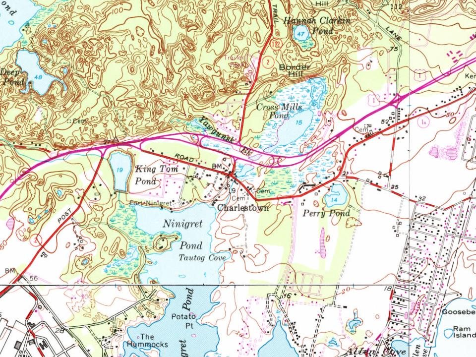
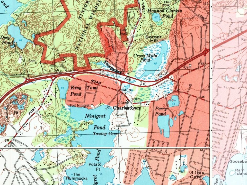
Founding dates: Wikidata, Wikipedia, the U.S. post office records of Blevins & Helbock (CC0) and the Census. Homes by year built: Census ACS 2020–24. National Register of Historic Places: National Park Service (list of May 22, 2026). Old photos, postcards and papers: Wikimedia Commons, the Library of Congress and other public archives, credited on each item’s page. Maps: U.S. Geological Survey historical topographic maps (via Esri) and Sanborn fire-insurance maps (Library of Congress). History text and census tables: Wikipedia (CC BY-SA 4.0). Places that used to be: USGS Geographic Names Information System (2021).
From Wikimedia Commons (17), Wikidata (1), the National Register of Historic Places (7), Wikipedia, Wikidata and Wikipedia for famous people, U.S. Geological Survey historical maps, U.S. Census counts (via Wikipedia), the US Post Offices dataset (Blevins & Helbock), the USGS Geographic Names Information System and old county and town histories (Internet Archive). Archive images are copied here with their credits and licenses, shown on each photo’s page. Refreshed monthly.




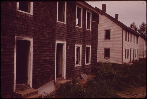
 2018
 2018
 2017
 2017
 2017
 2016
 2016
 2014
 2013
 2012
 2012
 2011
 2010
 2010
 2008
 2008