Southold dates to 1640, and 24% of its homes were built before 1940
More historic than 98% of U.S. towns · #61 of 758 in New York. What drives it
30 places in town are on the National Register, among them 2 National Historic Landmarks and six historic districts with 601 buildings between them. Below: 14 old photos and papers, maps from 1904 on, and the census since 1790.
Founding year: Wikidata. First post office: 1802.The full story ↓
History grade
What drives Southold’s History grade
On its age, its old homes and the National Register, Southold is more historic than 98% of U.S. towns, #61 of 758 in New York. All 3 inputs are above most U.S. towns; its age ranks highest and its share of homes from before 1940 lowest.
A+
HistoryA character grade: shown, never part of Southold’s overall grade.
New York towns list more on the Register than most of the country (a typical New York town has 12.3 per 10,000 residents, the U.S. 2.4), so Southold’s 267 sits above most of its state (85% of New York towns have fewer) while its 639 historic buildings outnumber those of 98% of U.S. towns.
NoteThe founding year comes from Wikidata alone; no second source gives 1640.
How sure. Graded on any two of the three inputs instead, the letter would range from A to A+. The pre-1940 share (±2.5 points) is firm at this size.
Founding year: Wikidata (other dates in Quick answers). Homes: Census ACS 2020–24. National Register: National Park Service, May 2026 list; each listing counted once (boundary changes and added documentation belong to their listing), and a historic district counts its contributing buildings. How TownRatings grades history →
What stands out about Southold’s past
Read from the archive, the National Register and the record. The page puts what stands out first.
Algonquian-speaking tribes, related to those in New England across Long Island Sound, lived in eastern Long Island before European colonization. The western portion of the island was inhabited by bands of Lenape, whose language was also one of the Algonquian languages.
" II. And be it further enacted, that the poor of the town of Southold, on the first Monday of April next, shall afterwards be divided by the town of Southold and the town of River Head, in such proportions as the supervisors of the county, at their next annual meeting, shall direct, and the contingent charges and expenses of the town of Southold that have already arisen, or shall arise before the first Monday in April next, shall be assessed,
Text read by machine from the scan; it may contain errors.
...History of Suffolk county, New York1882 · page 16Read the page →
Read the text
" The highway from Peconic River to Southold to be in ye usual road from ye river to Mattatuck already laid out, four poles wide at ye least, ye trees generally marked on ye south side of ye way; and at Mattatuck ye highway to be on ye north side of ye pond, and soe directly leading to ye old road to ye town of Southold, and soe through the street eastward to end in the lane on ye west side of Stephen Bayley his house, and soe eastward
Text read by machine from the scan; it may contain errors.
Scans and text from the Internet Archive. Books published in 1930 or earlier, which are in the public domain.
By decade
Southold, decade by decade
7 decades in the archive, from the 1830s to the 1920s. Scroll each row; tap a photo for its story.
Nothing in the archives for these yearsWeddings on Main Street, storms, parades, school pictures, the old store. If it’s in your family album, it belongs here.
Battery BarlowmilitaryBattery BenjaminmilitaryBattery Bogardus EldridgemilitaryBattery BradfordmilitaryBattery ButterfieldmilitaryBattery ClintonmilitaryBattery DuttonmilitaryBattery HamiltonmilitaryBattery Henry CampbellmilitaryBattery HoffmanmilitaryBattery HoppockmilitaryBattery James DallibamilitaryBattery John GreblemilitaryBattery Justin DimickmilitaryBattery KellymilitaryBattery MarcymilitaryBattery PalmermilitaryBattery Peter Hagnermilitary
19cemeteries and burying grounds inside Southold
CutchogueEast MarionGreen HillHashamomackLathamLaurelNew BethanyOld BethanyOldOld Burying Ground of First Presbyterian ChurchOrient CentralOrient CongregationalSacred HeartSaint AgnesSaint PatrickSterlingTerryTerry HillWillow Hill
See all 19
Cutchogue Cemetery · East Marion Cemetery · Green Hill Cemetery · Hashamomack Cemetery · Latham Cemetery · Laurel Cemetery · New Bethany Cemetery · Old Bethany Cemetery · Old Burying Ground · Old Burying Ground of First Presbyterian Church · Orient Central Cemetery · Orient Congregational Cemetery · Sacred Heart Cemetery · Saint Agnes Cemetery · Saint Patrick Cemetery · Sterling Cemetery · Terry Cemetery · Terry Hill Cemetery · Willow Hill Cemetery
US Post Offices dataset (Blevins & Helbock, CC0). Places and cemeteries from the USGS Geographic Names Information System (2021).
Help out
Finish Southold’s story
Most archives stop around 1920. The photos from after that are in family albums, not libraries.
Decades since 1900 with photos
00s10s20s30s40s50s60s70s80s90s
3 of 10 decades. The empty ones are waiting for someone’s album.
In 1640, according to Wikidata. Southold’s post office opened in 1802, and the first U.S. census counted 3,219 people here in 1790.
How does Southold rank for history?
Southold is more historic than 98% of U.S. towns, #61 of 758 in New York. The History grade combines the town’s founding era, the share of homes built before 1940 and its National Register listings. It’s a character grade, so it isn’t part of the overall grade. How it works.
What is on the National Register in Southold?
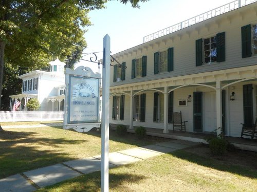
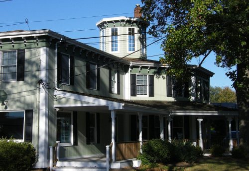
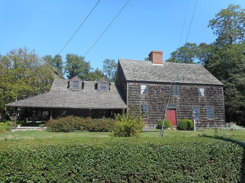
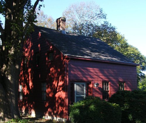
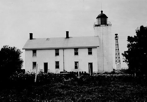
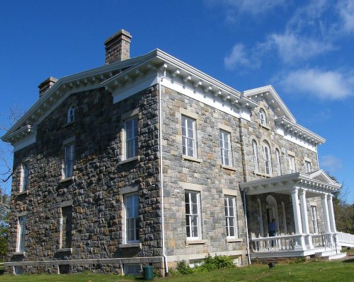
30 listings, 2 of them National Historic Landmarks: 21 buildings, among them the Old House, The (a National Historic Landmark since 1961), 6 historic districts with 601 contributing buildings, 1 structure, and 1 object. 639 historic buildings in all.
How old are the homes in Southold?
24% of Southold’s homes were built before 1940 (Census estimate, ±2.5 points), against a typical 27% for a New York town; the median home was built in 1968.
Founding dates: Wikidata, Wikipedia, the U.S. post office records of Blevins & Helbock (CC0) and the Census. Homes by year built: Census ACS 2020–24. National Register of Historic Places: National Park Service (list of May 22, 2026). Old photos, postcards and papers: Wikimedia Commons, the Library of Congress and other public archives, credited on each item’s page. Maps: U.S. Geological Survey historical topographic maps (via Esri) and Sanborn fire-insurance maps (Library of Congress). History text and census tables: Wikipedia (CC BY-SA 4.0). Places that used to be: USGS Geographic Names Information System (2021).
From Wikimedia Commons (16), Wikidata (2), the National Register of Historic Places (29), Wikipedia, Wikidata and Wikipedia for famous people, U.S. Geological Survey historical maps, U.S. Census counts (via Wikipedia), the US Post Offices dataset (Blevins & Helbock), the USGS Geographic Names Information System and old county and town histories (Internet Archive). Archive images are copied here with their credits and licenses, shown on each photo’s page. Refreshed monthly.


 ★ Landmark
 ★ Landmark





 1834
 1873
 1889
 1896
 1899
 1899
 1902
 1923
 2005
 2004


