Canandaigua dates to 1788, and 3 of its places are on the National Register
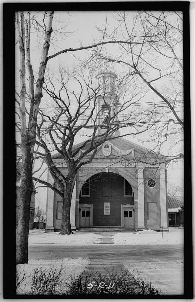
Most of Canandaigua was built recently: 9% of its homes predate 1940 and the median home dates from 1990. 3 places in town are on the National Register, among them a historic district with 29 buildings. Below: 5 old photos and papers, maps from 1886 on, and the census since 1810.
Lost post offices, old corners, places now gone and burying grounds
Five other post offices opened and closed inside today’s town.
Centrefield
1832–1893
Cheshire
1835–1908
Padleford's
1874–1894
Centerfield
1893–1902
Padelfords
1894–1904
18301930today
Hamlets and corners on the map
Canandaigua Country Estate Mobile Home ParkCenterfieldCheshireFallbrook Mobile Home ParkGrange LandingLakeview Manufactured Home CommunityPadelford
Gone or out of use
Parkway Drive-InlocaleSchool Number 1schoolSchool Number 10schoolSchool Number 11schoolSchool Number 3schoolSchool Number 4schoolSchool Number 7schoolSchool Number 8schoolSchool Number 9school
7cemeteries and burying grounds inside Canandaigua
US Post Offices dataset (Blevins & Helbock, CC0). Places and cemeteries from the USGS Geographic Names Information System (2021).
On the map
Canandaigua on the map, 1900 to 1978
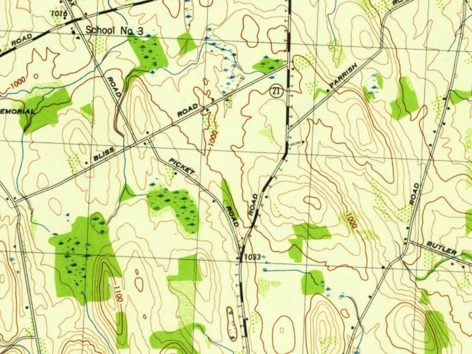
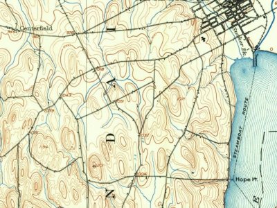
Every edition of the U.S. Geological Survey’s map of Canandaigua. Tap a year, or press play to watch the town change.
1900Canandaigua sheet · 1:62,500
U.S. Geological Survey historical topographic maps (public domain), via Esri’s collection of the scans. The red ring marks the center of Canandaigua.
Every building
Canandaigua, building by building, 1886–1911
Fire insurance maps drew every building, what it was made of and what it was used for, so insurers could price the risk of fire. Pick a year, then a sheet.
Developed near Canandaigua Lake at the site of the historic Seneca village of Tganödä:gwëh, by the mid-19th century Canandaigua was an important railroad junction and home port for several steamboats that operated on the lake. After the Civil War, local industries included two brick works, the Lisk Manufacturing Company, several mills, and the regionally prominent McKechnie Brewery. The shire town of the original county of western New York, Canandaigua was the site of the trial of Susan B. Anthony in 1873 on charges of voting illegally because only men were allowed to vote.
Passages that mention Canandaigua, cut from the printed page as they were published.
History of Ontario county, New York1893 · page 242Read the page →
Read the text
Business Interests — With much truth it may be said that the village of Canandaigua has never occupied an advanced position among the county seats of the State in respect to the number of its manufacturing interests. Indeed it has been asserted that during the early history of the village there was much direct opposition to encouraging manufactures in the community and that many prominent and wealthy families were induced to come to Canandaigua on the strength of representations assuring them that they should not be annoyed by the presence
Text read by machine from the scan; it may contain errors.
Scans and text from the Internet Archive. Books published in 1930 or earlier, which are in the public domain.
Timeline
Canandaigua, 1788 to 1973
Woven from the archive, old maps, post office records, the National Register and the people born here.
Nothing in the archives for these yearsWeddings on Main Street, storms, parades, school pictures, the old store. If it’s in your family album, it belongs here.
In 1788, according to Wikidata. Canandaigua’s post office opened in 1832, and the census of 1810 counted 450 people here.
What is on the National Register in Canandaigua?
Three places: the Canandaigua Veterans Hospital Historic District (listed 2012), the Knights of the Maccabees Hall (2013) and the William W. Gorham House (2024).
Founding dates: Wikidata, Wikipedia, the U.S. post office records of Blevins & Helbock (CC0) and the Census. Homes by year built: Census ACS 2020–24. National Register of Historic Places: National Park Service (list of May 22, 2026). Old photos, postcards and papers: Wikimedia Commons, the Library of Congress and other public archives, credited on each item’s page. Maps: U.S. Geological Survey historical topographic maps (via Esri) and Sanborn fire-insurance maps (Library of Congress). History text and census tables: Wikipedia (CC BY-SA 4.0). Places that used to be: USGS Geographic Names Information System (2021). How TownRatings grades history →
From Wikimedia Commons (2), the Library of Congress (5), Wikidata (4), the National Register of Historic Places (3), Wikipedia, Wikidata and Wikipedia for famous people, U.S. Geological Survey historical maps, U.S. Census counts (via Wikipedia), the US Post Offices dataset (Blevins & Helbock), the USGS Geographic Names Information System, Sanborn fire insurance maps (Library of Congress) and old county and town histories (Internet Archive). Archive images are copied here with their credits and licenses, shown on each photo’s page. Refreshed monthly.










 Date?
 Date?
 Date?
 Date?
 2025
 2025

