
Littlejohn IslandME
The town was settled in 1910 and has 73 residents today.
Is Littlejohn Island a good place to live?
100% of adults 25 and older hold a bachelor’s degree or more in Littlejohn Island, above both Maine’s towns (32%) and U.S. towns (29%). No town among the 144 in Maine we compare has a higher share of households owning their home than Littlejohn Island. Littlejohn Island’s trail density is 1.4 miles per square mile, where Maine’s towns sit at 0.7 and U.S. towns at 0.4. Littlejohn Island Preserve, at 24 acres with 1 miles of trail, is the biggest park or preserve. Littlejohn Island has fewer than 1,000 residents, too few for fair grades; the figures below are still real.
Littlejohn Island lives by the ocean
Coastal flooding makes up 16% of the storm damage FEMA expects here.
- Littlejohn Island Preserve
FEMA National Risk Index · OpenFEMA · OpenStreetMap
The data
Ordered by what stands out in Littlejohn Island.
Most of Littlejohn Island’s workers head elsewhere: there are 0.1 jobs for each of them
Half of commuters travel less than 13 miles. The top destinations are Portland (26%), Yarmouth (12%) and Scarborough (6%).
Where working residents work
Census LEHD 2023 · ACS
The biggest natural risk in Littlejohn Island is inland flooding, at a low overall level
Of the losses FEMA expects in Littlejohn Island, 34% come from inland flooding and 22% from hurricanes. Expected storm and flood damage is lower than in 71% of U.S. communities.
FEMA National Risk Index · OpenFEMA
Snowy winters and pleasant summers in Littlejohn Island
Expect July afternoons of 78° and January nights of 14°, with about 84 inches of snow a winter.
Typical low → high °F
NOAA U.S. Climate Normals, 1991–2020
Littlejohn Island stands out in Maine and nationally, with fewer of its adults who report frequent mental distress
Only one of the 144 Maine towns we compare has a lower share of adults who feel lonely than Littlejohn Island. Among adults locally, 13% say their health is fair or poor. On the CDC’s 32 measures, Littlejohn Island is ahead of Maine on 21 and behind on 4. 26% of adults in Littlejohn Island sleep under 7 hours; 7.2% smoke cigarettes.
| Littlejohn Island | Maine towns | U.S. towns | |
|---|---|---|---|
| Frequent mental distress (CDC PLACES) | 12% | 18% | 17% |
| Sleep under 7 hours (CDC PLACES) | 26% | 33% | 36% |
| Smoke cigarettes (CDC PLACES) | 7.2% | 15% | 14% |
| Yearly checkup (CDC PLACES) | 87% | 81% | 79% |
| What stands out | Littlejohn Island | ME |
|---|---|---|
| Fewer adults facing food insecurity | 4.5% | 10.7% |
| Fewer uninsured adults | 3.3% | 7.8% |
| More adults who have had cancer | 14.6% | 9.9% |
CDC PLACES 2025 · modeled estimates for adults · CMS · HRSA
Conservation land takes up 5.3% of Littlejohn Island
Count the trails in 1 park or preserve and they come to 1.0 miles.
| Biggest places to walk | Trails | Acres |
|---|---|---|
| 1. Littlejohn Island Preserve | 1 mi | 24 |
Trails & parks © OpenStreetMap contributors · Conserved land: USGS PAD-US
Everything we know about Littlejohn Island
Portland Head Light and 25 more within 40 miles
Museums, parks, gardens and other places to visit around Littlejohn Island. Close and well known come first.
 10 mi LighthousePortland Head Light
 8 mi LandmarkFort Gorges17 mi Ancient sitePopham Colony
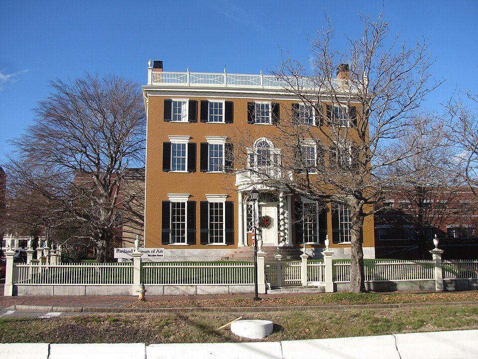 10 mi MuseumPortland Museum of Art
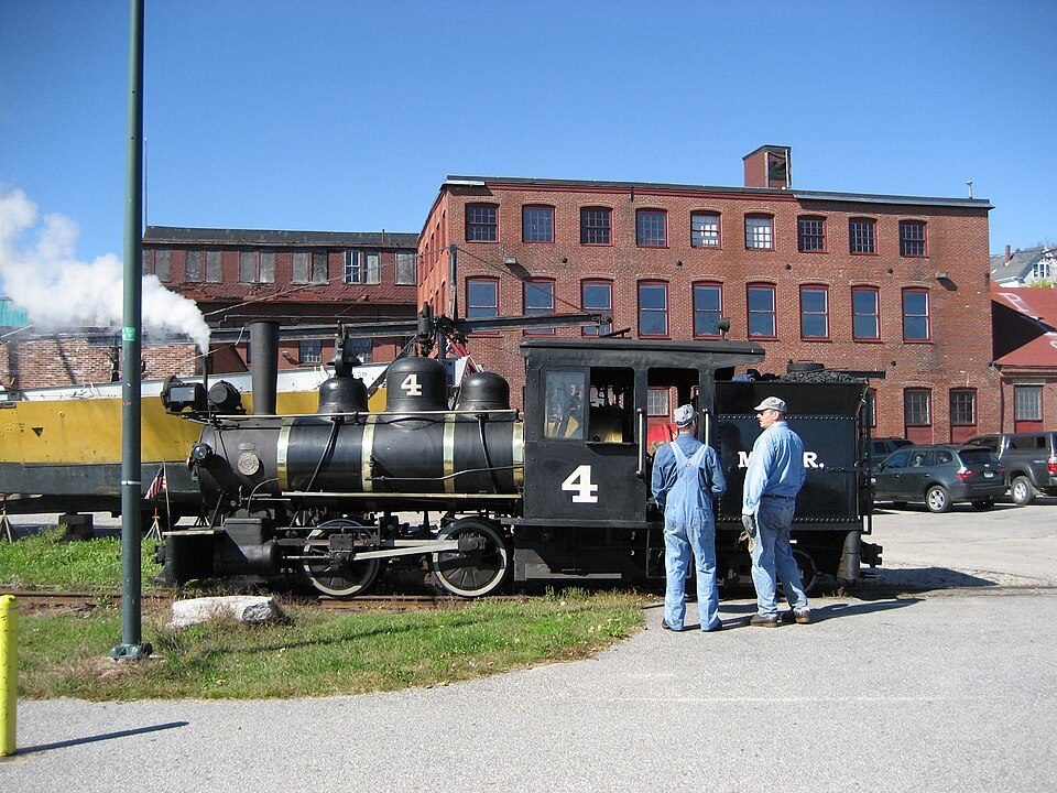 9 mi MuseumMaine Narrow Gauge Railroad Museum
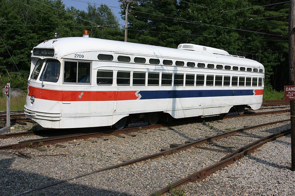 30 mi MuseumSeashore Trolley Museum
Photo credits
Portland Head Light: Aniarku, CC BY-SA 3.0 · Fort Gorges: Dirk Ingo Franke, CC BY 3.0 · Portland Museum of Art: John Phelan, CC BY 3.0 · Maine Narrow Gauge Railroad Museum: No machine-readable author provided. Gwernol assumed (based on copyright claims), CC BY-SA 3.0 · Seashore Trolley Museum: Rene Schwietzke from Jena, Germany, CC BY 2.0


Moving to Littlejohn Island: who provides what
Littlejohn Island is unincorporated, so Cumberland County and regional agencies provide most services.
EPA SDWIS (Oct 9, 2026) · HIFLD + EIA-861 2025 · Census 2020 ZCTAs · NCES 2024–25 · registration: vote.gov, updated Aug 3, 2026.
73 people, and everyone knows the way
In a town this size, neighbors are the best guide. Ask them anything.
Colleges nearby
5 within 15 miles of the center of Littlejohn Island
About 0 of every 100 Littlejohn Island residents are enrolled in college, against 6 across Maine.
About Littlejohn Island
Census-designated place in Maine, United States
Littlejohn Island is an island and census-designated place (CDP) in the town of Yarmouth in Cumberland County, Maine, United States. The population of the CDP was 118 at the 2010 census. It is part of the Portland–South Portland–Biddeford, Maine Metropolitan Statistical Area. The island, Cousins River and Cousins Island are named after Englishman John Cousins (1596–1682), who emigrated from Marlborough, Wiltshire.
From Wikipedia, licensed CC BY-SA 4.0 · facts via Wikidata (CC0)
- Area
- 0.7 sq mi
- Elevation
- 93 ft
Questions about Littlejohn Island
Short answers, built from the data on this page.
Is Littlejohn Island, ME a good place to live?
Littlejohn Island has fewer than 1,000 residents, too few for fair grades; the figures below are still real.
Say something about Littlejohn Island.
Ask a question, answer one, post a photo or an event. Free, and the parts only a neighbor would know are the parts worth reading.