Bethel dates to 1774, and 20% of its homes were built before 1940
More historic than 96% of U.S. towns · #19 of 143 in Maine. What drives it
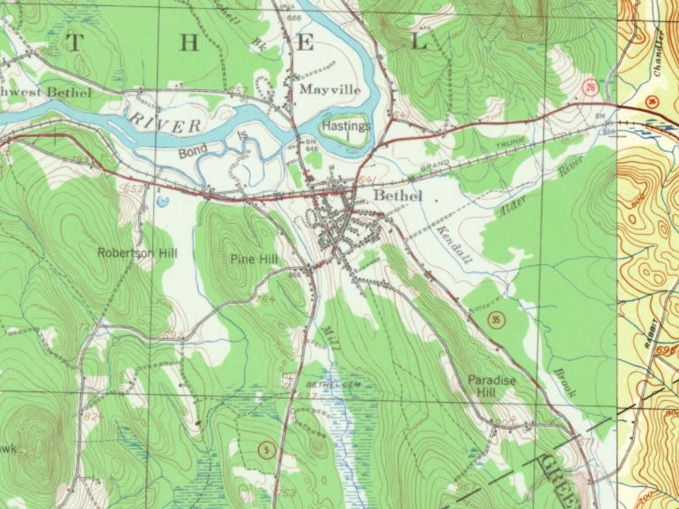
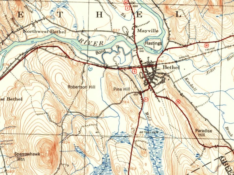
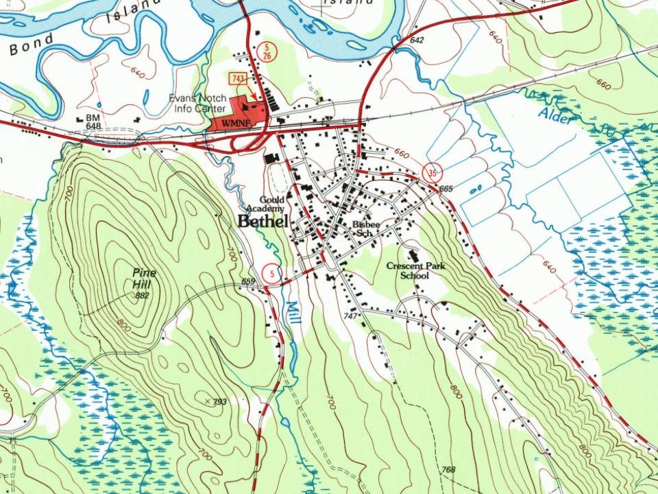
9 places in town are on the National Register, among them two historic districts with 51 buildings between them. Below: 9 old photos and papers, maps from 1894 on, and the census since 1800.
Founding year: Wikidata; Wikipedia’s history section gives the same year. First post office: 1815.The full story ↓
History grade
What drives Bethel’s History grade
On its age, its old homes and the National Register, Bethel is more historic than 96% of U.S. towns, #19 of 143 in Maine. All 3 inputs are above most U.S. towns; its age ranks highest and its share of homes from before 1940 lowest.
A+
HistoryA character grade: shown, never part of Bethel’s overall grade.
Maine towns list more on the Register than most of the country (a typical Maine town has 15.9 per 10,000 residents, the U.S. 2.4), so Bethel’s 225 sits above most of its state (95% of Maine towns have fewer) while its 59 historic buildings outnumber those of 86% of U.S. towns.
How sure. Graded on any two of the three inputs instead, the letter would range from A to A+. The pre-1940 share is a Census survey estimate (±7.5 points). Two sources give 1774.
Founding year: Wikidata (other dates in Quick answers). Homes: Census ACS 2020–24. National Register: National Park Service, May 2026 list; each listing counted once (boundary changes and added documentation belong to their listing), and a historic district counts its contributing buildings. How TownRatings grades history →
What stands out about Bethel’s past
Read from the archive, the National Register and the record. The page puts what stands out first.
National Park Service, National Register of Historic Places. Photos from Wikimedia Commons, credited on each place’s page.
Every building
Bethel, building by building, 1894–1924
Fire insurance maps drew every building, what it was made of and what it was used for, so insurers could price the risk of fire. Pick a year, then a sheet.
An Abenaki Indian village was once located on the north side of the Androscoggin River, but had been abandoned before its subsequent English settlement. In 1769, the township was granted as Sudbury-Canada by the Massachusetts General Court to Josiah Richardson of Sudbury, Massachusetts and others (or their heirs) for services at the Battle of Quebec in 1690. It was first settled in 1774 when Nathaniel Segar of Newton, Massachusetts started clearing the land.
Passages that mention Bethel, cut from the printed page as they were published.
History of Bethel, formerly Sudbury, Canada, Oxford County, Maine, 1768-18901891 · page 66Read the page →
Read the text
Be it further enacted, by the autliorit}- aforesaid, that the said town of Bethel lie, and the same is hereby divided into two distinct Parishes, to be designated "The East Parish and "West Parish," and the following shall be the dividing line between said Parishes, viz : Beginning at the south line of the town at a tree marked sixteen seventeen, standing on the line between the sixteenth and seventeenth ranges, to the north line of the town, and all the lands in said town with the inhabitants thereon, east of said dividing line, be and
Text read by machine from the scan; it may contain errors.
History of Rumford, Oxford County, Maine, from its first settlement in 1779, to the present time1890 · page 224Read the page →
Read the text
act was passed February 14, 1833, to take effect the April following, for the protection of the bridge, providing a fine of three dollars for crossing it faster than a walk. March 23, 1839, an act was passed increasing the rates of toll, and making the rates at Bethel, Rumford and Jay, uniform. Tlie bridge at Jay was built by the "Oxford Bridge Association" This constitutes all the legislation with regard to the Rumford bridge, nor was this last necessary, for January 26, 1839, this bridge, the one at Bethel and several others
Text read by machine from the scan; it may contain errors.
History of Bethel, formerly Sudbury, Canada, Oxford County, Maine, 1768-18901891 · page 318Read the page →
Read the text
ment that has been laid aside for years. It is old style — out of fashion — ill fitting, and can never be worn as satisfactorily as one made especially for the present time. It affords me great pleasure to meet so many of the sons and daughters of Bethel on this deeply interesting and very pleasant occasion. I congratulate you in the prosperity that has marked all the interests of the good town of Bethel since the first settlement within her borders. jNIany pleasant memories of Bethel rise before me whenever I vi-it 3'our beautiful
Text read by machine from the scan; it may contain errors.
The history of Waterford, Oxford County, Maine, comprising Historical address, by Henry P. Warren1879 · page 68Read the page →
Nothing in the archives for these yearsWeddings on Main Street, storms, parades, school pictures, the old store. If it’s in your family album, it belongs here.
Nothing in the archives for these yearsWeddings on Main Street, storms, parades, school pictures, the old store. If it’s in your family album, it belongs here.
In 1774, according to Wikidata and Wikipedia’s history of the town. Bethel’s post office opened in 1815, and the census of 1800 counted 616 people here.
How does Bethel rank for history?
Bethel is more historic than 96% of U.S. towns, #19 of 143 in Maine. The History grade combines the town’s founding era, the share of homes built before 1940 and its National Register listings. It’s a character grade, so it isn’t part of the overall grade. How it works.
What is on the National Register in Bethel?
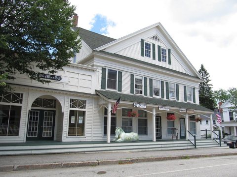
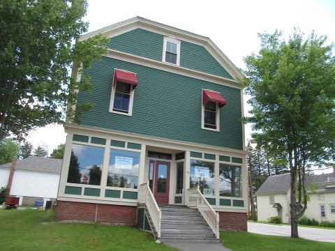
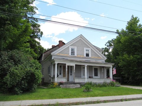
9 listings: 7 buildings, among them the Dr. Moses Mason House (listed 1972, the first), and 2 historic districts, the Broad Street Historic District and the Middle Intervale Meeting House and Common, with 51 contributing buildings. 59 historic buildings in all.
How old are the homes in Bethel?
20% of Bethel’s homes were built before 1940 (Census estimate, ±7.5 points), against a typical 19% for a Maine town; the median home was built in 1986.
Founding dates: Wikidata, Wikipedia, the U.S. post office records of Blevins & Helbock (CC0) and the Census. Homes by year built: Census ACS 2020–24. National Register of Historic Places: National Park Service (list of May 22, 2026). Old photos, postcards and papers: Wikimedia Commons, the Library of Congress and other public archives, credited on each item’s page. Maps: U.S. Geological Survey historical topographic maps (via Esri) and Sanborn fire-insurance maps (Library of Congress). History text and census tables: Wikipedia (CC BY-SA 4.0). Places that used to be: USGS Geographic Names Information System (2021).
From Wikimedia Commons (39), Wikidata (8), the National Register of Historic Places (9), Wikipedia, Wikidata and Wikipedia for famous people, U.S. Geological Survey historical maps, U.S. Census counts (via Wikipedia), the US Post Offices dataset (Blevins & Helbock), the USGS Geographic Names Information System, Sanborn fire insurance maps (Library of Congress) and old county and town histories (Internet Archive). Archive images are copied here with their credits and licenses, shown on each photo’s page. Refreshed monthly.




 c. 1869
 c. 1869
 1909
 1913
 2012
 2012
 2012
 2012
 2012
 2012
 2012
 2012
 2012
 2012
 2012
 2012
 2012
 2012
 2012
 2012
 2012
 2012
 2012
 2012
 2012
 2012
 2012
 2012
 2012
 2012
 2012
 2008
 2008
 2004