Joliet dates to 1833, and 16% of its homes were built before 1940
More historic than 90% of U.S. towns · #75 of 768 in Illinois. What drives it
14 places in town are on the National Register, among them five historic districts with 950 buildings between them. Below: 12 old photos and papers, maps from 1886 on, and the census since 1840.
Founding year: Wikidata. First post office: 1833.The full story ↓
History grade
What drives Joliet’s History grade
On its age, its old homes and the National Register, Joliet is more historic than 90% of U.S. towns, #75 of 768 in Illinois. All 3 inputs are above most U.S. towns; its National Register listings ranks highest and its share of homes from before 1940 lowest.
A
HistoryA character grade: shown, never part of Joliet’s overall grade.
Among the 400 U.S. cities of 100,000 or more, Joliet ranks #66 on History.
Few Illinois towns list much on the Register (a typical Illinois town has 0.5 per 10,000 residents, the U.S. 2.4), so Joliet’s 63.7 sits above most of its state (91% of Illinois towns have fewer) while its 959 historic buildings outnumber those of 99% of U.S. towns.
How sure. Graded on any two of the three inputs instead, the letter would range from B+ to A. The pre-1940 share (±1.1 points) is firm at this size. Two sources give 1833.
Founding year: Wikidata (other dates in Quick answers). Homes: Census ACS 2020–24. National Register: National Park Service, May 2026 list; each listing counted once (boundary changes and added documentation belong to their listing), and a historic district counts its contributing buildings. How TownRatings grades history →
What stands out about Joliet’s past
Read from the archive, the National Register and the record. The page puts what stands out first.
In 1673, Louis Jolliet, along with Father Jacques Marquette, paddled up the Des Plaines River and camped on a huge earthwork mound, a few miles south of present-day Joliet. Maps from Jolliet's exploration of the area showed a large hill or mound down river from Chicago, labeled Mont Joliet. The mound has since been flattened due to mining.
Passages that mention Joliet, cut from the printed page as they were published.
The history of Will County, Illinois, containing a history of the county ... a directory of its real estate owners1878 · page 340Read the page →
Read the text
Another railroad, the Chicago, Joliet & Peoria Railroad, has been opened from Joliet to Streator. This passes from Joliet along the east bank of the Des Planes, through the towns of Joliet and Channahon, crossing the Kankakee near its mouth, and so on through Grundy, Livingston, Woodford and Tazewell Counties, to Peoria, connecting with Streator by a cross-road. We thus have access to vast coal-fields, and our coal dealers supply those who wish with Streator coal.
Text read by machine from the scan; it may contain errors.
plied every spare moment to the study of law, and in the spring of 1885 he entered Naughton was Supervisor of the Town of Joliet in 1891 and in both political and social circles of Joliet has occupied a prominent part. In all
Text read by machine from the scan; it may contain errors.
Souvenir of settlement and progress of Will County, Ill. A review of the lives of our presidents, political, military and commercial history of the United States and of the state of Illinois ... Business directory of Joliet ... Comp. specially for the peo1884 · page 305Read the page →
Read the text
diaries Clement, born at Windsor, Yt., January 13, 1810, settled at Peoria, Ills., in 1833, and at Joliet one year later. As shown in the general history this pioneer of the city took an active part in building up local industries and introducing new means of advancing the interests of Joliet. In 1830 he was one of the originators of the Joliet Courier, first supervisor of the town in 1850, and subsequently Alderman, Inspector of Schools, etc., etc., of Joliet city.
Text read by machine from the scan; it may contain errors.
The history of Will County, Illinois, containing a history of the county ... a directory of its real estate owners1878 · page 394Read the page →
Read the text
class was formed in the settlement in 1832, the bounds of the mission extending from Chicago to Peoria and from State line to Fox River, and from 1832 to 1835, was known as Des Planes Mission ; from 1835 to 1837, as Des Planes Circuit, which extended from Blue Island to Ottawa, when it became Joliet Station, and the first church edifice commenced and finished, as above stated, in 1838. In 1852, after disposing of their first church to the Rock Island Railroad Company, who converted it into a blacksmith shop, the society built a brick church, at a cost of $10,000, including a parsonage. This church was
Text read by machine from the scan; it may contain errors.
Scans and text from the Internet Archive. Books published in 1930 or earlier, which are in the public domain.
Timeline
Joliet, 1833 to 1980
Woven from the archive, old maps, post office records, the National Register and the people born here.
Nothing in the archives for these yearsWeddings on Main Street, storms, parades, school pictures, the old store. If it’s in your family album, it belongs here.
Fire insurance maps drew every building, what it was made of and what it was used for, so insurers could price the risk of fire. Pick a year, then a sheet.
In 1833, according to Wikidata. Joliet’s post office opened in 1833, and the census of 1840 counted 2,558 people here.
How does Joliet rank for history?
Joliet is more historic than 90% of U.S. towns, #75 of 768 in Illinois. The History grade combines the town’s founding era, the share of homes built before 1940 and its National Register listings. It’s a character grade, so it isn’t part of the overall grade. How it works.
What is on the National Register in Joliet?
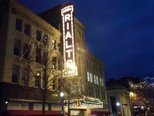
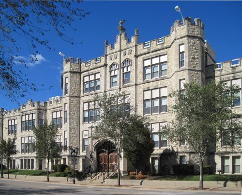
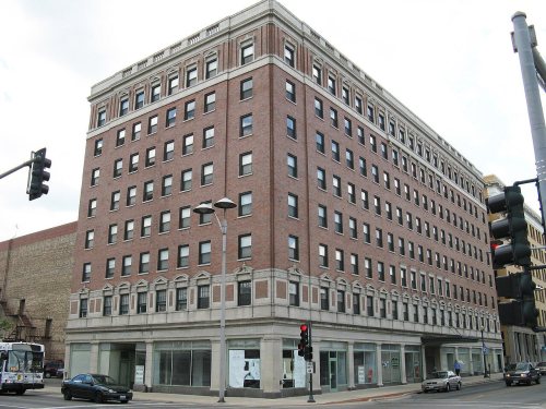
14 listings: 9 buildings, among them the Rubens Rialto Square Theater (listed 1978, the first), and 5 historic districts with 950 contributing buildings. 959 historic buildings in all.
How old are the homes in Joliet?
16% of Joliet’s homes were built before 1940 (Census estimate, ±1.1 points), against a typical 11% for an Illinois town; the median home was built in 1985.
Founding dates: Wikidata, Wikipedia, the U.S. post office records of Blevins & Helbock (CC0) and the Census. Homes by year built: Census ACS 2020–24. National Register of Historic Places: National Park Service (list of May 22, 2026). Old photos, postcards and papers: Wikimedia Commons, the Library of Congress and other public archives, credited on each item’s page. Maps: U.S. Geological Survey historical topographic maps (via Esri) and Sanborn fire-insurance maps (Library of Congress). History text and census tables: Wikipedia (CC BY-SA 4.0). Places that used to be: USGS Geographic Names Information System (2021).
From Wikimedia Commons (4), the Library of Congress (8), Wikidata (1), the National Register of Historic Places (14), Wikipedia, Wikidata and Wikipedia for famous people, U.S. Geological Survey historical maps, U.S. Census counts (via Wikipedia), the US Post Offices dataset (Blevins & Helbock), the USGS Geographic Names Information System, Sanborn fire insurance maps (Library of Congress) and old county and town histories (Internet Archive). Archive images are copied here with their credits and licenses, shown on each photo’s page. Refreshed monthly.

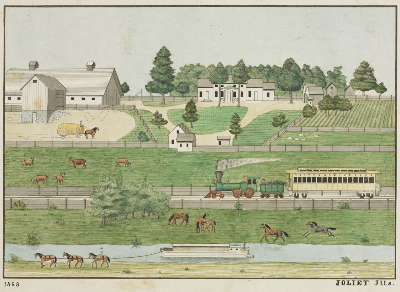



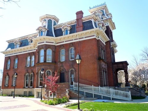


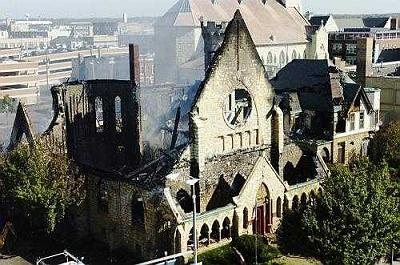


 1865
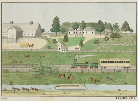 1868
 1880
 1880
 1880
 1890
 1900
 1900


