
Gamlin Cabin · National Register of Historic Places
Wilsonia’s story
Wilsonia in pictures
2 places on the National Register of Historic Places.
Explore the history →Each edition grades its towns against each other only.

A town of 31.
68% of the land in Wilsonia is conserved, where California’s towns sit at 4.3% and U.S. towns at 4.3%. Wilsonia has 2 places on the National Register of Historic Places, among them Gamlin Cabin and Knapp Cabin. Wilsonia has fewer than 1,000 residents, too few for fair grades; the figures below are still real.
In a town this size, neighbors are the best guide. Ask them anything.
2 places on the National Register of Historic Places.
Explore the history →Museums, parks, gardens and other places to visit around Wilsonia. Close and well known come first.
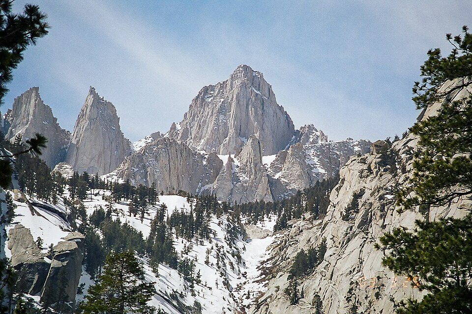 Big draw38 mi MountainMount Whitney
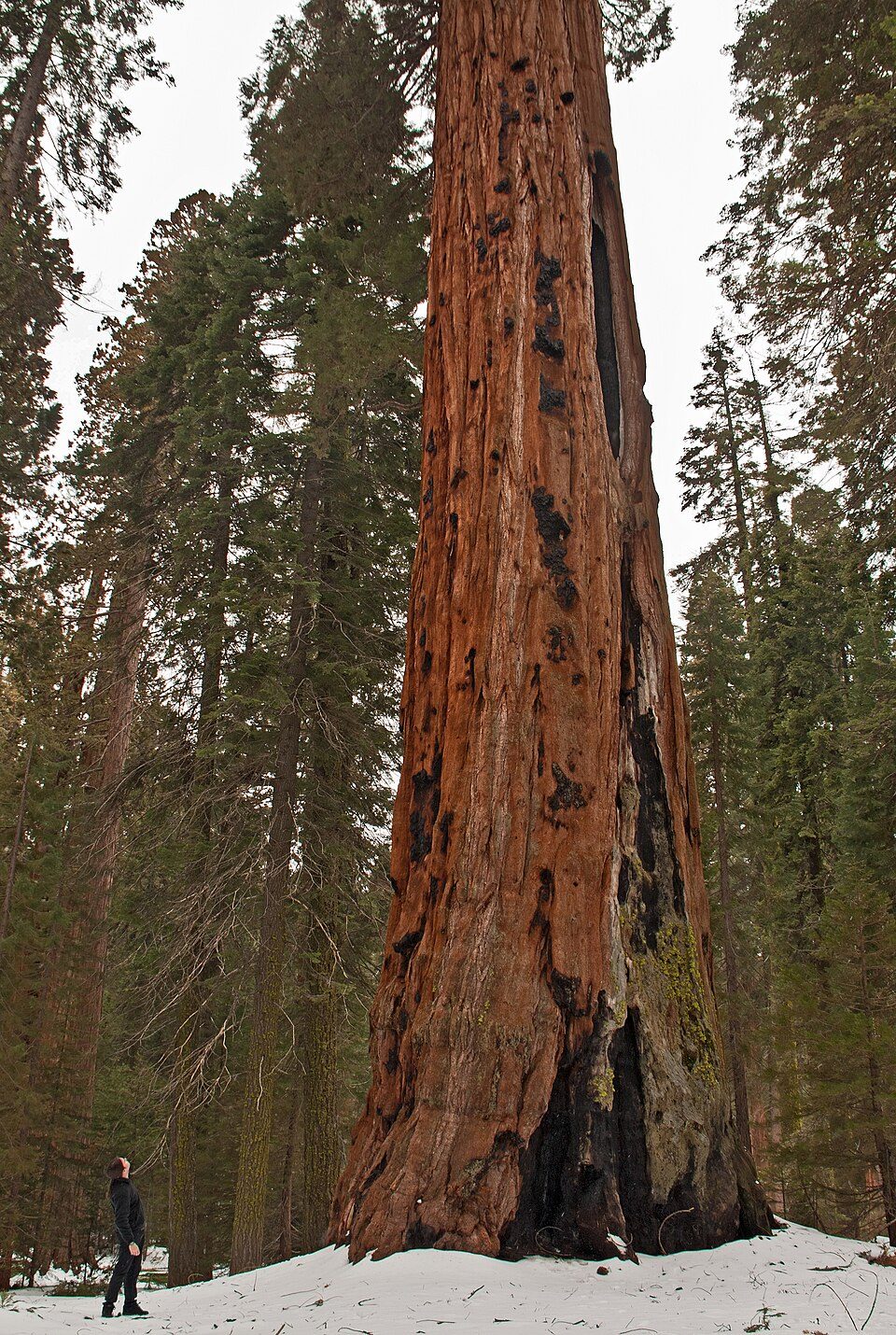 Big draw8 mi National ParkSequoia National Park1.4M visitors a year
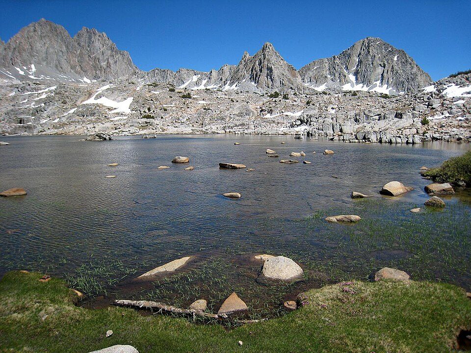 in town National ParkKings Canyon National Park780K visitors a year
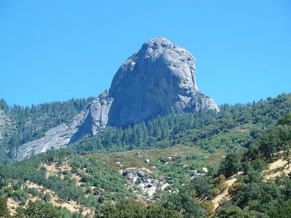 17 mi MountainMoro Rock
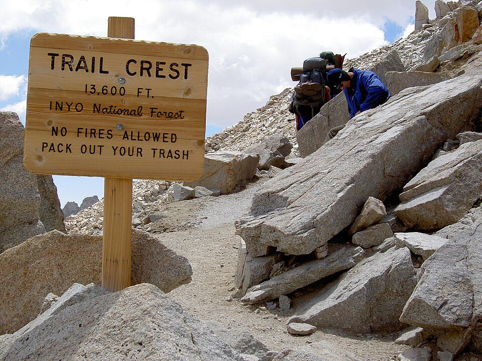 40 mi Park & preserveMount Whitney Trail
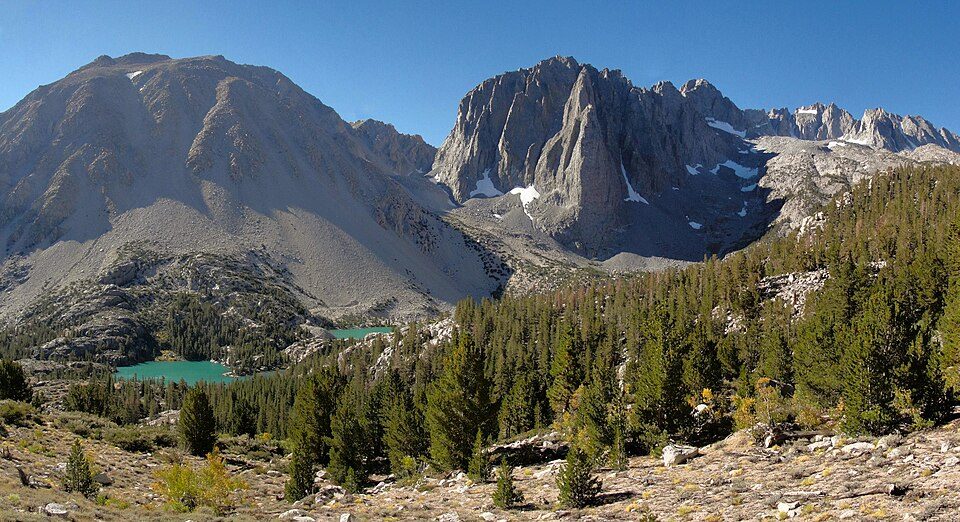 19 mi Park & preserveJohn Muir Wilderness
Mount Whitney: Geographer (talk · contribs), CC BY 1.0 · Sequoia National Park: Alberto Carrasco Casado, CC BY 2.0 · Kings Canyon National Park: NileGuide.com (Josh Steinitz), CC BY 2.0 · Moro Rock: DiverDave, CC BY-SA 3.0 · Mount Whitney Trail: Sanjoy Ghosh, CC BY 2.0 · John Muir Wilderness: Miguel.v, CC BY-SA 3.0
Wilsonia is unincorporated, so Tulare County and regional agencies provide most services.
EPA SDWIS (Oct 9, 2026) · HIFLD + EIA-861 2025 · Census 2020 ZCTAs · NCES 2024–25 · registration: vote.gov, updated Nov 18, 2024.
Ordered by what stands out in Wilsonia.
For Wilsonia, the trail network density is 1.7 miles per square mile. Walkers can cover 0.5 miles of trail in 1 park or preserve. The biggest park or preserve is Kings Canyon National Park, at 174 acres.
| Biggest places to walk | Trails | Acres |
|---|---|---|
| 1. Kings Canyon National Park | 0.5 mi | 174 |
Trails & parks © OpenStreetMap contributors · Conserved land: USGS PAD-US
On expected storm and flood damage, Wilsonia sits above 98% of U.S. communities. FEMA puts 37% of the town’s expected hazard losses down to inland flooding, and 33% to wildfires.
FEMA National Risk Index · OpenFEMA
In July, afternoons reach 79°; in January, nights fall to 26°, and about 186 inches of snow falls in a winter.
NOAA U.S. Climate Normals, 1991–2020
None within 15 miles of Wilsonia; the nearest are
About 0 of every 100 Wilsonia residents are enrolled in college, against 8 across California.
Census-designated place in California, United States
Wilsonia is a census-designated place (CDP) in Tulare County, California. As of the 2020 census, Wilsonia had a population of 14. Wilsonia sits at an elevation of 6,617 feet (2,017 m). It is surrounded by the General Grant Grove section of Kings Canyon National Park.
From Wikipedia, licensed CC BY-SA 4.0 · facts via Wikidata (CC0)
Short answers, built from the data on this page.
Wilsonia has fewer than 1,000 residents, too few for fair grades; the figures below are still real.


