SheridanCA
A town of 1,183, settled in 1868.
Is Sheridan a good place to live?
The best of Sheridan’s subject grades is an A− for health; the weakest is a D− for walkability. Sheridan’s July high is 96°F, above both the California town median (89°F) and the median of U.S. towns (85°F). On walkability, just 5 of California’s 1,063 towns do worse. FEMA rates its natural-hazard risk higher than 79% of U.S. communities, with inland flooding at the top. Sheridan has fewer than 2,500 residents, so it gets subject grades but no overall grade.
What makes Sheridan stand out
Where Sheridan beats most towns.
1,183 people, and everyone knows the way
In a town this size, neighbors are the best guide. Ask them anything.
How Sheridan grades
Each subject compared with towns across the country (schools within California), ordered by how far Sheridan is from typical.
How TownRatings grades towns →
Moving to Sheridan: who provides what
Sheridan is unincorporated, so Placer County and regional agencies provide most services.
EPA SDWIS (Oct 9, 2026) · HIFLD + EIA-861 2025 · Census 2020 ZCTAs · NCES 2024–25 · registration: vote.gov, updated Nov 18, 2024.
The data
Ordered by what stands out in Sheridan.
Residents of Sheridan are healthier than 82% of U.S. towns
Among adults in Sheridan, 9.9% have diabetes. This California town does better than the California average on 14 of 32 CDC measures and worse on 2. Nearly a fifth of adults in Sheridan get no exercise outside work; 74% had a checkup this year.
| Sheridan | California towns | U.S. towns | |
|---|---|---|---|
| Sleep under 7 hours (CDC PLACES) | 31% | 35% | 36% |
| Get no exercise (CDC PLACES) | 19% | 24% | 25% |
| Yearly checkup (CDC PLACES) | 74% | 72% | 79% |
| Smoke cigarettes (CDC PLACES) | 10% | 11% | 14% |
| What stands out | Sheridan | CA |
|---|---|---|
| Fewer uninsured adults | 6.2% | 10.6% |
| Fewer adults facing food insecurity | 10.6% | 17.9% |
| More adults who have had cancer | 9% | 6.4% |
CDC PLACES 2025 · modeled estimates for adults · CMS · HRSA
On state tests, Sheridan’s schools beat 70% of California districts
Its one school is below. 62 students attend Sheridan’s public school.
| School | Level | Students | Letter |
|---|---|---|---|
| Sheridan ElementaryLargest public elementary schoolGrades K–5 | Grades K–5 | 62 | C+ |
NCES · EDFacts · graded within CA on state tests and graduation
Top of a high hazard risk in Sheridan: inland flooding
One declared disaster, in 2021, has brought federal aid to Sheridan households. Expected losses in Sheridan break down as 51% from inland flooding and 37% from wildfires.
FEMA disaster declarations and aid · FEMA National Risk Index · OpenFEMA
Most of Sheridan’s workers commute out: the town has 0.5 jobs for each of them
The top destinations are Roseville (14%), Lincoln (10%) and Sacramento (9%). Only 1% of working residents stay in Sheridan for work; the rest commute out. Employers in Sheridan added 69 jobs between 2013 and 2023, to 263. For Sheridan, the average commute is 23 minutes.
| Sheridan | California towns | U.S. towns | |
|---|---|---|---|
| Average trip to work | 23 minutes | 28 minutes | 25 minutes |
| Working residents who work in town | 1.4% | 6.6% | 8% |
| Below the poverty line | 12% | 10% | 9.6% |
| Median household income | $96,000 | $95,000 | $80,000 |
Where working residents work
Census LEHD 2023 · ACS
More young adults than California overall
In Sheridan, a quarter of residents are under 18. Adults 18 to 34 are 37% of residents (24% statewide); people 65 and older are 3% of residents (16% statewide). For Sheridan, the median age is 28.1 years. 29% of adults 25 and older hold at least a bachelor’s degree, against 37% across California.
| Sheridan | California towns | U.S. towns | |
|---|---|---|---|
| Median age | 28.1 years | 39 years | 40.5 years |
| Under 18 | 25% | 22% | 22% |
Ages · share of residents
Education · adults 25 and older
Women and men · all residents
46% women, 54% men
That’s an even split within the survey’s margin of ±7.3 points. Across California, 50.1% of residents are women.
| Sheridan | CA | U.S. | |
|---|---|---|---|
| Under 10 | 9.9% | 11.4% | 11.6% |
| 10 to 17 | 15.6% | 10.5% | 10.3% |
| 18 to 24 | 20.9% | 9.1% | 9.1% |
| 25 to 34 | 16.2% | 14.8% | 13.7% |
| 35 to 44 | 4.4% | 13.9% | 13.2% |
| 45 to 54 | 13.4% | 12.5% | 12.2% |
| 55 to 64 | 16.7% | 12.1% | 12.7% |
| 65 to 74 | 1.6% | 9.2% | 10.2% |
| 75 and older | 1.4% | 6.5% | 7% |
| No diploma | 7.9% | 15.3% | 10.4% |
| High school | 36.2% | 20.5% | 26% |
| Some college | 17% | 19.3% | 19.1% |
| Associate’s | 9.8% | 7.9% | 8.8% |
| Bachelor’s | 18.4% | 22.7% | 21.6% |
| Graduate | 10.7% | 14.4% | 14.1% |
U.S. Census Bureau · ACS 2020-2024 5-year estimates · in a town of 1,200, single groups can be off by several points
Sheridan’s typical home value is about $549K
Values rose 1.7% in the 12 months to September 2026. For households in Sheridan, the share who live in a home they own is 76%.
Typical home value
Census ACS, 2020–24 · Zillow Home Value Index · Redfin Data Center
Typical low → high °F
NOAA U.S. Climate Normals, 1991–2020
6.2% of the land in Sheridan is protected from building
Sheridan’s density of trails is 0.3 miles per square mile. 6.6 miles of trail.
| Sheridan | California towns | U.S. towns | |
|---|---|---|---|
| Miles of trail per square mile | 0.3 miles per square mile | 1.0 | 0.4 |
| Conserved land | 6.2% | 4.3% | 4.3% |
Trails & parks © OpenStreetMap contributors · Conserved land: USGS PAD-US
ARCO Arena and 35 more within 40 miles
Museums, parks, gardens and other places to visit around Sheridan. Close and well known come first.
 24 mi Stadium & arenaARCO Arena
 31 mi MountainSutter Buttes
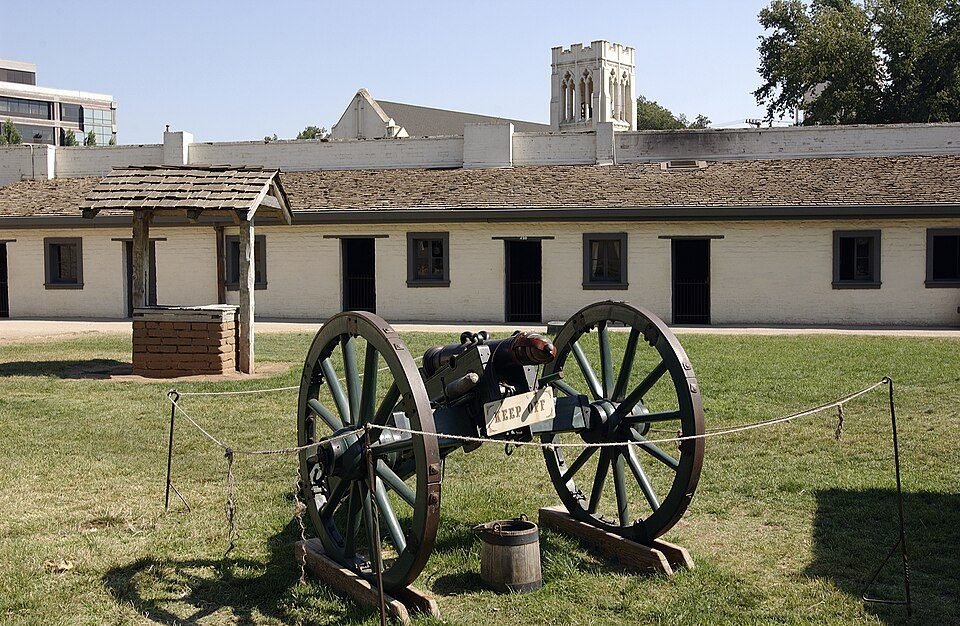 28 mi State parkSutter's Fort
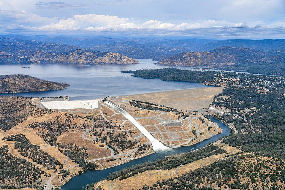 40 mi DamOroville Dam
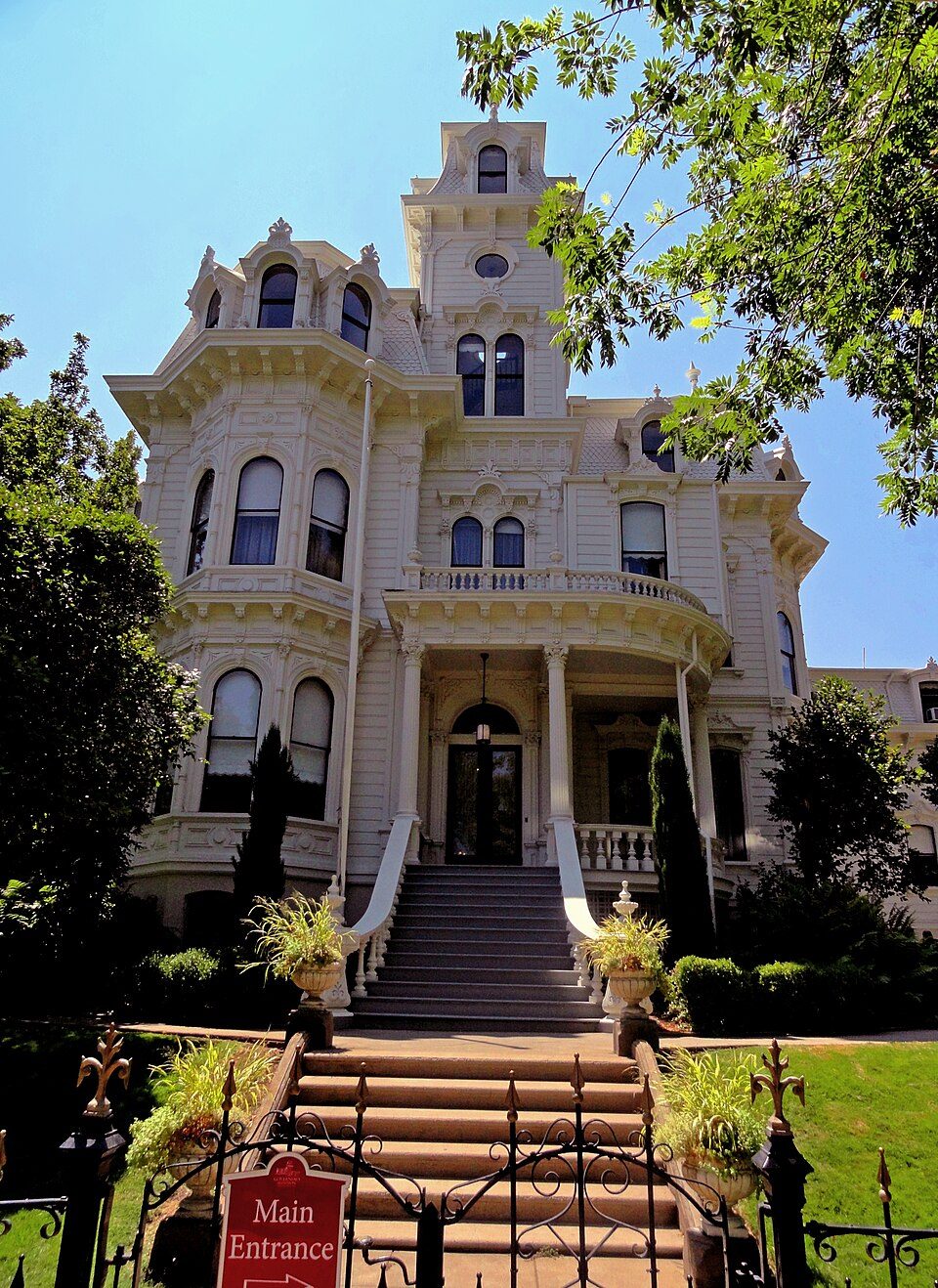 28 mi State parkGovernor's Mansion State Historic Park
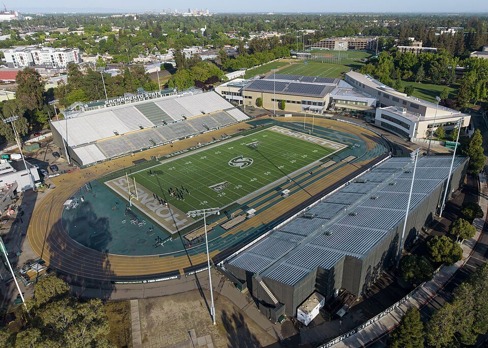 29 mi Stadium & arenaHornet Stadium
Photo credits
ARCO Arena: CLopez63, CC BY-SA 3.0 · Sutter Buttes: Expedition 32 crew/NASA, Public domain · Sutter's Fort: Ian Howard, CC BY 2.5 · Oroville Dam: California Department of Water Resources, Public domain · Governor's Mansion State Historic Park: Mark James Miller, CC BY 3.0 · Hornet Stadium: Quintin Soloviev, CC BY 4.0


Everything we know about Sheridan
Colleges nearby
2 within 15 miles of the center of Sheridan
College town 18 of every 100 Sheridan residents are enrolled in college, against 8 across California.
Sheridan has grown 12% from 2010 to 2020
1,238 counted in 2010 and 1,385 in 2020.
U.S. Census 2010 & 2020 counts
About Sheridan
Census-designated place in California, United States
Sheridan is a census-designated place in Placer County, California, United States. It is located at the western edge of the county, along State Route 65. Sheridan is 7.5 miles (12.1 km) northwest of Lincoln. The population was 1,385 at the 2020 census.
From Wikipedia, licensed CC BY-SA 4.0 · facts via Wikidata (CC0)
- Area
- 26 sq mi
- Elevation
- 112 ft
- ZIP code
- 95681
- Area code
- 530
Questions about Sheridan
Short answers, built from the data on this page.
Is Sheridan, CA expensive?
That is 5.6 years of the area's median household income ($97,188 across the Sacramento-Roseville-Folsom, CA metro area). Cost of living, which also weighs rents, property taxes and how many households pay 30% or more of their income for housing, grades B−.