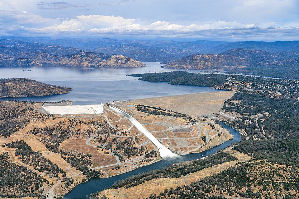
Oroville Dam
Oroville Dam is an earthfill embankment dam on the Feather River east of the city of Oroville, California, in the Sierra Nevada foothills east of the Sacramento Valley. Find it 1 mi northwest of Kelly Ridge. It dates from 1961.

A dam, 1 mi northwest of Kelly Ridge
Summers are hot
July and August highs run 94–96°, and about 97 days a year reach 90°. When to go ↓
Oroville is the nearest base
Oroville is 5 miles southwest, with 14 places to stay. Where to stay ↓
A day trip from Sacramento
Sacramento is about 67 miles south (straight-line). Where to stay ↓
Best months: Mar, Apr, May, Oct and Nov
March, April, May, October and November are the mild months, with highs of 64–80°. When to go ↓
Established in 1961
Oroville Dam dates from 1961. About ↓
Written from NOAA 1991–2020 normals, Overture places to stay, Census town figures, Wikidata and Wikipedia.
Weather, month by month
This is the year’s weather near Oroville Dam.
Oroville Dam
Oroville Dam is an earthfill embankment dam on the Feather River east of the city of Oroville, California, in the Sierra Nevada foothills east of the Sacramento Valley. At 770 feet (235 m) high, it is the tallest dam in the U.S. and serves mainly for water supply, hydroelectricity generation, and flood control. The dam impounds Lake Oroville, the second-largest reservoir in California, capable of storing more than 3.5 million acre-feet (1.1×10^12 US gal; 4.3×10⁹ m3).
- Type
- Dam
- Established
- 1961
- Opened
- 1968
- Wikipedia readers
- 33K a year
Rooms near Oroville Dam
Hotels, motels or campgrounds are closest in Oroville (14) and Oroville East (3).
Oroville
The closest town with somewhere to stay.
20,451 people
5 mi southwest of Oroville Dam
Compare 8 towns
| Town | From Oroville Dam | Drive | Places to stay | People | Typical home | Safety |
|---|---|---|---|---|---|---|
| Oroville | 5 mi southwest | 10 min | 14 9 hotels · 4 motels · 1 RV park | 20,451 | $312K | D− |
| Oroville East | 3 mi south | 5 min | 3 1 hotel · 1 campground · 1 RV park | 7,504 | $405K | — |
| Chico | 23 mi northwest | 35 min | 29 19 hotels · 7 motels · 1 inn or B&B · 2 RV parks | 105,081 | $468K | D |
| Thermalito | 7 mi west | 10 min | 3 1 inn or B&B · 1 lodge or cabins · 1 RV park | 6,720 | $255K | — |
| Paradise | 16 mi northwest | 25 min | 7 2 hotels · 1 motel · 2 lodges & cabins · 2 RV parks | 10,023 | $416K | C+ |
| Kelly Ridge | 1 mi southeast | — | 1 1 RV park | 2,825 | $278K | — |
| Dobbins | 19 mi southeast | 30 min | 7 1 hotel · 1 inn or B&B · 3 campgrounds · 2 RV parks | 875 | $423K | — |
| Yuba City | 30 mi south | 45 min | 16 11 hotels · 1 motel · 3 inns & B&Bs · 1 RV park | 69,485 | $435K | C− |
Day trip from
Straight-line miles.
Getting there
Nearest airports with airline service
More near Oroville Dam
Other well-known places within 67 miles.
 66 mi National ParkLassen Volcanic National Park505K visitors a year
 66 mi MountainLassen Peak
 128 mi MountainSutter Buttes
 67 mi LakeDonner Lake
 61 mi Stadium & arenaARCO Arena
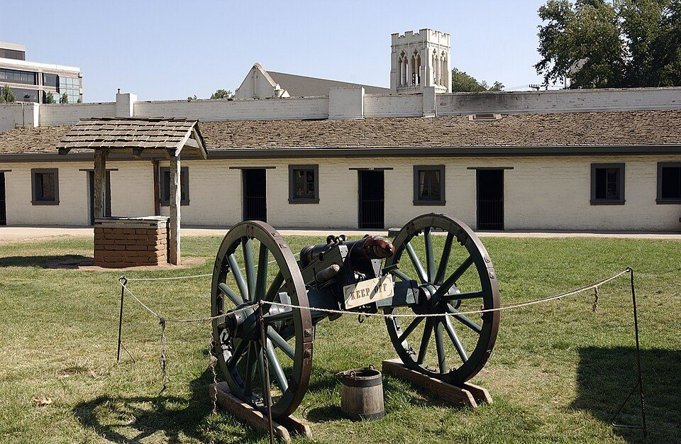 67 mi State parkSutter's Fort
 33 mi State parkEmpire Mine State Historic Park
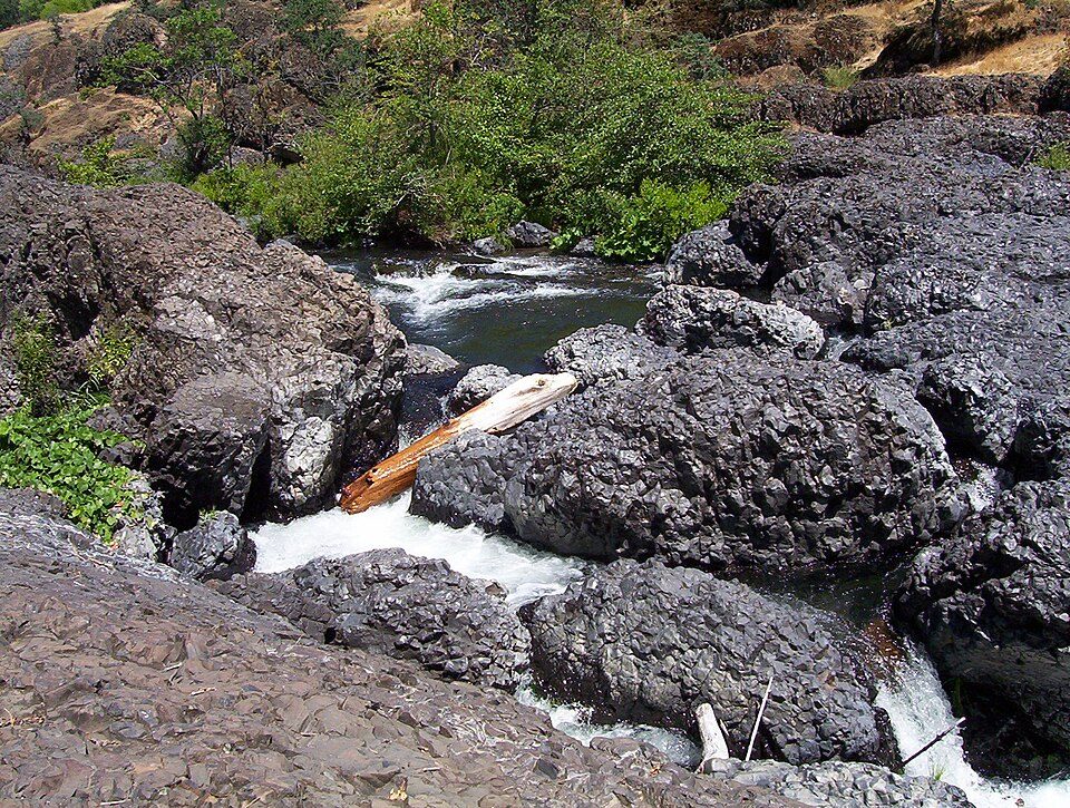 222 mi Park & preserveBidwell Park
Photo credits
Lassen Volcanic National Park: en:User:Mav, CC BY-SA 3.0 · Lassen Peak: Frank Schulenburg, CC BY-SA 4.0 · Sutter Buttes: Expedition 32 crew/NASA, Public domain · Donner Lake: J.smith, CC BY-SA 3.0 · ARCO Arena: CLopez63, CC BY-SA 3.0 · Sutter's Fort: Ian Howard, CC BY 2.5 · Empire Mine State Historic Park: Beej71, CC BY 2.5 · Bidwell Park: Saopaulo1 at English Wikipedia, CC BY-SA 3.0


Questions before you go
What town is Oroville Dam near?
Kelly Ridge, CA, about 1 miles southeast.
When is the best time to visit Oroville Dam?
March, April, May, October and November, with highs of 64–80°.
How far is Oroville Dam from Sacramento?
About 67 miles south of Sacramento, as the crow flies.
What is the closest airport to Oroville Dam?
Sacramento (SMF), about 59 miles away.
Where should I stay near Oroville Dam?
Oroville (5 mi, 14 places to stay), Oroville East (3 mi, 3 places to stay) and Chico (23 mi, 29 places to stay).
Ask a local in Kelly Ridge
Nobody has posted a tip yet; ask or answer in Kelly Ridge’s Town Square.
Sources: National Park Service · ski areas © OpenSkiMap / OpenStreetMap contributors · Wikidata · Wikipedia readership · NOAA climate normals · U.S. Census.