
Sutter Buttes
The Sutter Buttes (Maidu: Histum Yani or Esto Yamani, Wintun: Olonai-Tol, Nisenan: Estom Yanim) are a small circular complex of eroded volcanic lava domes which rise as buttes above the flat plains of the Sacramento Valley in Sutter County, northern California.

A mountain, 9 mi southwest of Live Oak
Summers are hot
July and August highs run 95–96°, and about 105 days a year reach 90°. When to go ↓
Yuba City is the nearest base
Yuba City is 11 miles southeast, with 16 places to stay. Where to stay ↓
A day trip from Sacramento
Sacramento is about 49 miles south (straight-line). Where to stay ↓
Best months: Feb, Mar, Apr, May, Oct and Nov
February, March, April, May, October and November are the mild months, with highs of 62–82°. When to go ↓
Written from NOAA 1991–2020 normals, Overture places to stay, Census town figures, Wikidata and Wikipedia.
Weather, month by month
Typical highs and lows in Live Oak. Green months are the mild ones.
Sutter Buttes
The Sutter Buttes (Maidu: Histum Yani or Esto Yamani, Wintun: Olonai-Tol, Nisenan: Estom Yanim) are a small circular complex of eroded volcanic lava domes which rise as buttes above the flat plains of the Sacramento Valley in Sutter County, northern California. They are situated just outside Yuba City in the northern part of the state's Central Valley.
These remnants of a dormant volcano are colloquially referred to as the world's smallest mountain range. The Sutter Buttes have as their highest point the summit of South Butte, at 2,122 ft (647 m), which is also the highest point in Sutter County.
- Type
- Mountain
- Elevation
- 2,123 ft
- Wikipedia readers
- 29K a year
Where to stay near Sutter Buttes
The closest towns with hotels, motels or campgrounds are Yuba City (16) and Marysville (8).
Yuba City
The closest town with somewhere to stay.
69,485 people
11 mi southeast of Sutter Buttes
Compare 8 towns
| Town | From Sutter Buttes | Drive | Places to stay | People | Typical home | Safety |
|---|---|---|---|---|---|---|
| Yuba City | 11 mi southeast | 15 min | 16 11 hotels · 1 motel · 3 inns & B&Bs · 1 RV park | 69,485 | $435K | C− |
| Marysville | 13 mi southeast | 20 min | 8 2 hotels · 4 motels · 2 lodges & cabins | 12,738 | $292K | D |
| Williams | 18 mi west | 30 min | 12 7 hotels · 4 motels · 1 inn or B&B | 5,529 | $370K | C |
| Colusa | 11 mi west | 15 min | 3 2 motels · 1 RV park | 6,519 | $375K | C |
| Oroville | 23 mi northeast | 35 min | 14 9 hotels · 4 motels · 1 RV park | 20,451 | $312K | D− |
| Gridley | 11 mi northeast | 15 min | 3 1 motel · 1 lodge or cabins · 1 RV park | 7,258 | $313K | C |
| Linda | 16 mi southeast | 25 min | 5 4 hotels · 1 inn or B&B | 23,871 | $372K | — |
| Dunnigan | 25 mi south | 35 min | 8 6 hotels · 2 RV parks | 537 | $156K | — |
Day trip from
Straight-line miles.
Getting there
Nearest airports with airline service
Also near Sutter Buttes
Other well-known places within 56 miles. Numbered ones are on the map above.
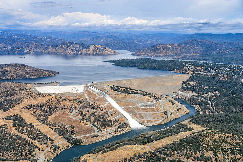 128 mi DamOroville Dam
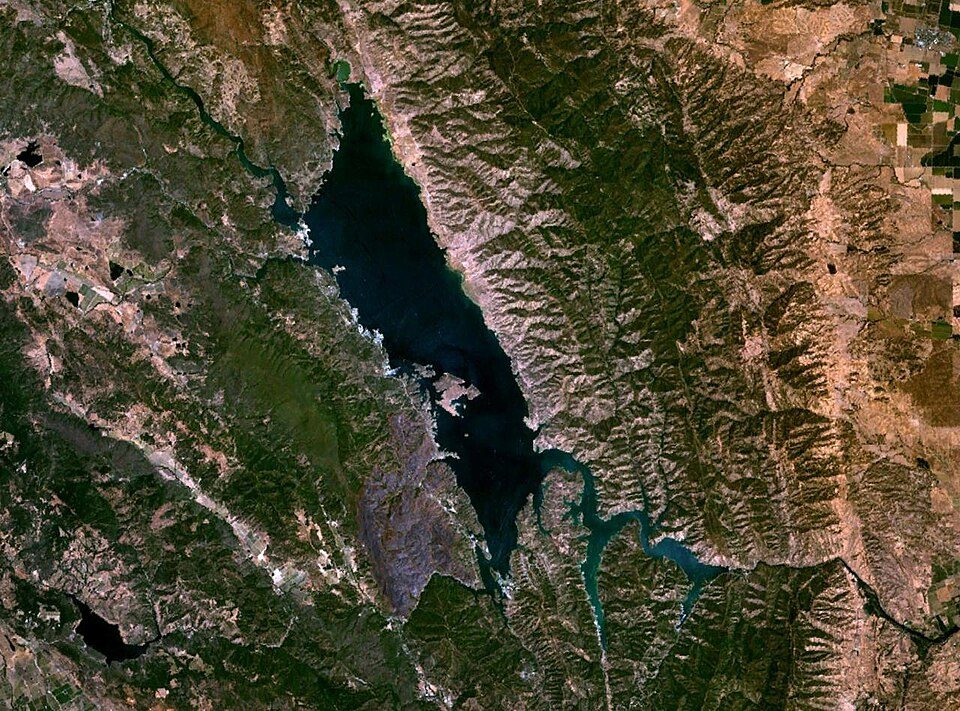 51 mi LakeLake Berryessa
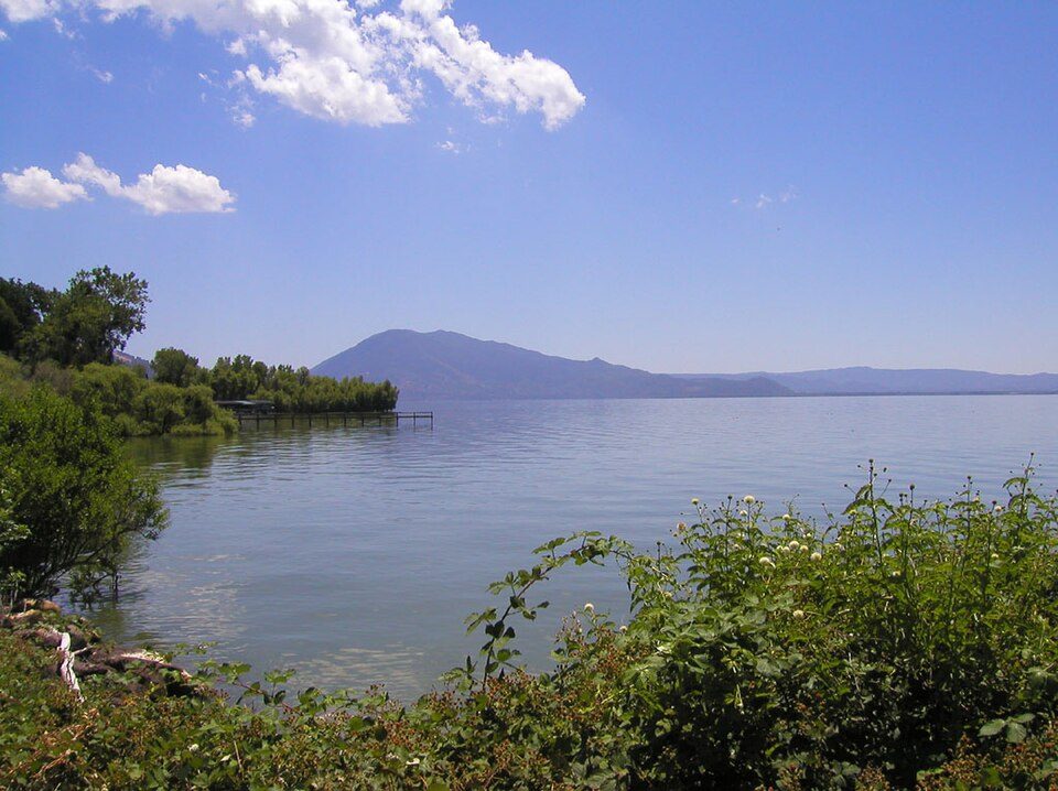 56 mi LakeClear Lake
 43 mi Stadium & arenaARCO Arena
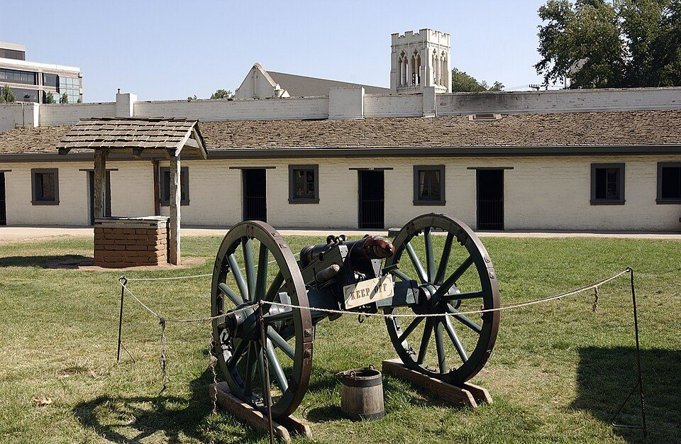 49 mi State parkSutter's Fort
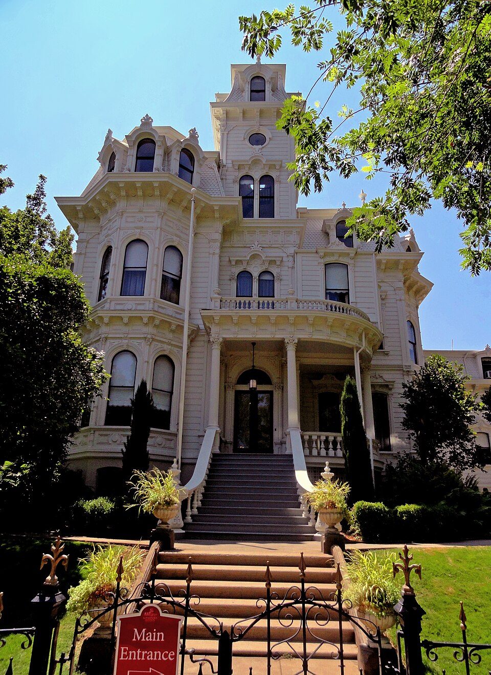 48 mi State parkGovernor's Mansion State Historic Park
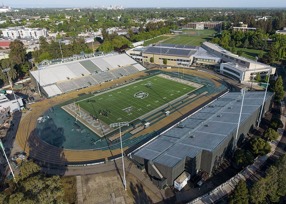 51 mi Stadium & arenaHornet Stadium
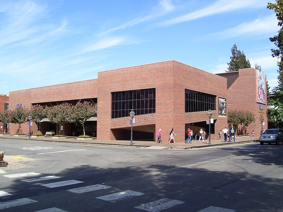 47 mi MuseumCalifornia State Railroad Museum500K visitors a year
Photo credits
Oroville Dam: California Department of Water Resources, Public domain · Lake Berryessa: Unknown, Public domain · Clear Lake: Unknown, Public domain · ARCO Arena: CLopez63, CC BY-SA 3.0 · Sutter's Fort: Ian Howard, CC BY 2.5 · Governor's Mansion State Historic Park: Mark James Miller, CC BY 3.0 · Hornet Stadium: Quintin Soloviev, CC BY 4.0 · California State Railroad Museum: The original uploader was Swampyank at English Wikipedia., CC BY-SA 3.0


Visiting Sutter Buttes
What town is Sutter Buttes near?
Live Oak, CA, about 9 miles northeast.
When is the best time to visit Sutter Buttes?
February, March, April, May, October and November, with highs of 62–82°.
How far is Sutter Buttes from Sacramento and Stockton?
About 49 miles south of Sacramento and about 91 miles south of Stockton, as the crow flies.
What is the closest airport to Sutter Buttes?
Sacramento (SMF), about 39 miles away.
Where should I stay near Sutter Buttes?
Yuba City (11 mi, 16 places to stay), Marysville (13 mi, 8 places to stay) and Williams (18 mi, 12 places to stay).
Tips from people in Live Oak
No tips yet. Ask, or answer, in Live Oak’s Town Square.
Sources: National Park Service · ski areas © OpenSkiMap / OpenStreetMap contributors · Wikidata · Wikipedia readership · NOAA climate normals · U.S. Census.