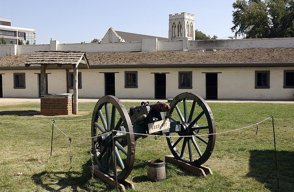
Sutter's Fort
Sutter's Fort was a 19th-century agricultural and trade colony in the Mexican Alta California province.

A state park inside Sacramento
Summers are hot
July and August highs run 93–94°, and about 76 days a year reach 90°. When to go ↓
You can stay in Sacramento
Sutter's Fort is inside Sacramento, which has 125 places to stay, so you won’t need a base farther out. Where to stay ↓
Best months: Mar, Apr, May, Oct and Nov
March, April, May, October and November are the mild months, with highs of 66–81°. When to go ↓
An airport 11 miles away
Sacramento (SMF) has airline service, about 11 miles from Sutter's Fort.
Written from NOAA 1991–2020 normals, Overture places to stay, Census town figures, Wikidata and Wikipedia.
Weather, month by month
Typical highs and lows in Sacramento. Green months are the mild ones.
Sutter's Fort
Sutter's Fort was a 19th-century agricultural and trade colony in the Mexican Alta California province. Established in 1839, the site of the fort was originally part of a utopian colonial project called New Helvetia (New Switzerland) by its builder John Sutter, though construction of the fort proper would not begin until 1841. The fort was the first non-Indigenous community in the California Central Valley, and saw grave mistreatment of Indigenous laborers in plantation or feudal style conditions. The fort is famous for its association with the Donner Party, the California gold rush, and the formation of the city of Sacramento, surrounding the fort. It is notable for its proximity to the end of the California and Siskiyou Trails, which it served as a waystation.
- Type
- State park
- Listed
- National Register of Historic Places (1966) · National Historic Landmark (1961) · California Historical Landmark (1954)
- Wikipedia readers
- 26K a year
Where to stay near Sutter's Fort
The closest towns with hotels, motels or campgrounds are Sacramento (125) and West Sacramento (33).
- 1Governor's Mansion State Historic Park
- 2ARCO Arena
- 3Hornet Stadium
- 4California State Railroad Museum
- 5Leland Stanford Mansion State Historic Park
- 6Crocker Art Museum
Compare 8 towns
| Town | From Sutter's Fort | Drive | Places to stay | People | Typical home | Safety |
|---|---|---|---|---|---|---|
| Sacramento | in town | — | 125 98 hotels · 13 motels · 4 inns & B&Bs · 2 lodges & cabins · 2 hostels · 3 campgrounds · 3 RV parks | 536,449 | $506K | D |
| West Sacramento | 4 mi west | 5 min | 33 11 hotels · 13 motels · 2 inns & B&Bs · 2 lodges & cabins · 2 campgrounds · 3 RV parks | 56,216 | $526K | C+ |
| Arden-Arcade | 5 mi northeast | 10 min | 10 6 hotels · 2 motels · 1 campground · 1 RV park | 94,994 | $560K | — |
| Rancho Cordova | 13 mi east | 20 min | 22 19 hotels · 2 motels · 1 campground | 87,554 | $478K | C− |
| North Highlands | 9 mi northeast | 15 min | 11 7 hotels · 2 motels · 2 RV parks | 47,957 | $368K | — |
| Davis | 15 mi west | 20 min | 20 19 hotels · 1 inn or B&B | 66,110 | $866K | C |
| Roseville | 16 mi northeast | 25 min | 23 20 hotels · 1 motel · 1 lodge or cabins · 1 campground | 167,302 | $661K | C+ |
| Woodland | 17 mi northwest | 25 min | 18 11 hotels · 2 motels · 2 inns & B&Bs · 2 lodges & cabins · 1 RV park | 62,513 | $548K | C |
Day trip from
Straight-line miles.
Getting there
Nearest airports with airline service
Also near Sutter's Fort
Other well-known places within 70 miles. Numbered ones are on the map above.
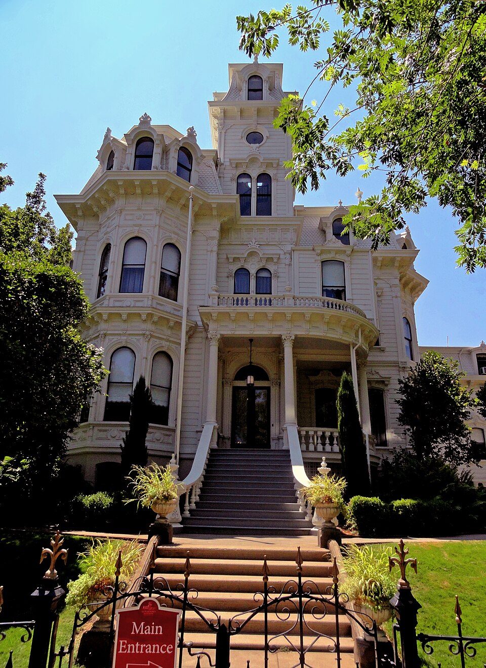 1in town State parkGovernor's Mansion State Historic Park
 26 mi Stadium & arenaARCO Arena
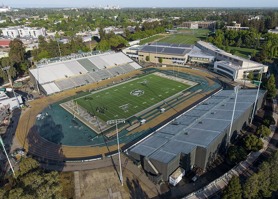 33 mi Stadium & arenaHornet Stadium
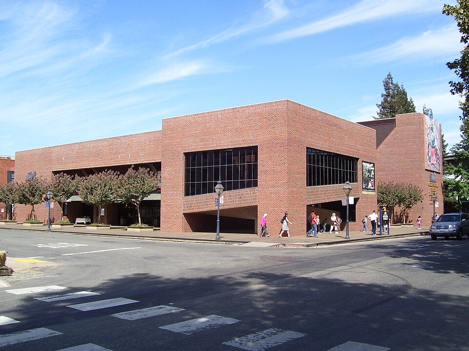 42 mi MuseumCalifornia State Railroad Museum500K visitors a year
 52 mi State parkLeland Stanford Mansion State Historic Park
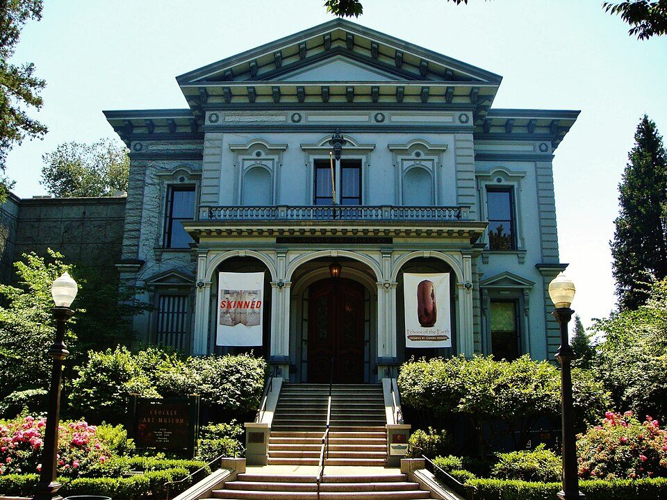 62 mi MuseumCrocker Art Museum
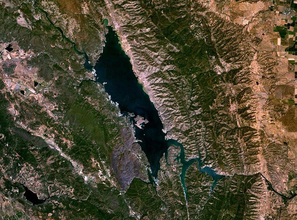 41 mi LakeLake Berryessa
 69 mi Stadium & arenaOakland Arena
Photo credits
Governor's Mansion State Historic Park: Mark James Miller, CC BY 3.0 · ARCO Arena: CLopez63, CC BY-SA 3.0 · Hornet Stadium: Quintin Soloviev, CC BY 4.0 · California State Railroad Museum: The original uploader was Swampyank at English Wikipedia., CC BY-SA 3.0 · Leland Stanford Mansion State Historic Park: M.Mierzwa. MCalamari at en.wikipedia, Public domain · Crocker Art Museum: Amadscientist Mark James Miller, CC BY 3.0 · Lake Berryessa: Unknown, Public domain · Oakland Arena: Mike Disharoon, CC BY-SA 2.0


Visiting Sutter's Fort
Is Sutter's Fort in Sacramento?
Yes. It’s inside Sacramento, CA.
When is the best time to visit Sutter's Fort?
March, April, May, October and November, with highs of 66–81°.
How far is Sutter's Fort from Stockton and Oakland?
About 42 miles south of Stockton and about 69 miles southwest of Oakland, as the crow flies.
What is the closest airport to Sutter's Fort?
Sacramento (SMF), about 11 miles away.
Where should I stay near Sutter's Fort?
Sacramento (in town, 125 places to stay), West Sacramento (4 mi, 33 places to stay) and Arden-Arcade (5 mi, 10 places to stay).
Tips from people in Sacramento
No tips yet. Ask, or answer, in Sacramento’s Town Square.
Sources: National Park Service · ski areas © OpenSkiMap / OpenStreetMap contributors · Wikidata · Wikipedia readership · NOAA climate normals · U.S. Census.