
A day out from Hat Creek: Lassen Volcanic National Park, 15 mi away
About 505K people a year visit Lassen Volcanic National Park. No place to visit is mapped inside Hat Creek; 4 are within 40 miles. They include a national park, a mountain and a waterfall. A day out reaches Mount Shasta, 57 mi away.
Lassen Volcanic National Park
National park of the United States.
The towns around it, and where to stay →
Map of the places
Most of the 4 out of town lie to the south.
Orange: Hat Creek. Numbers: the best-known places, matching the list below. © OpenStreetMap contributors
Everything on the list
Each of the 13 is within 60 miles.
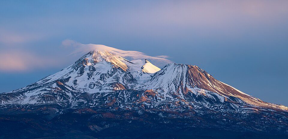 1
Lassen Volcanic National Park
National park of the United States.
 3
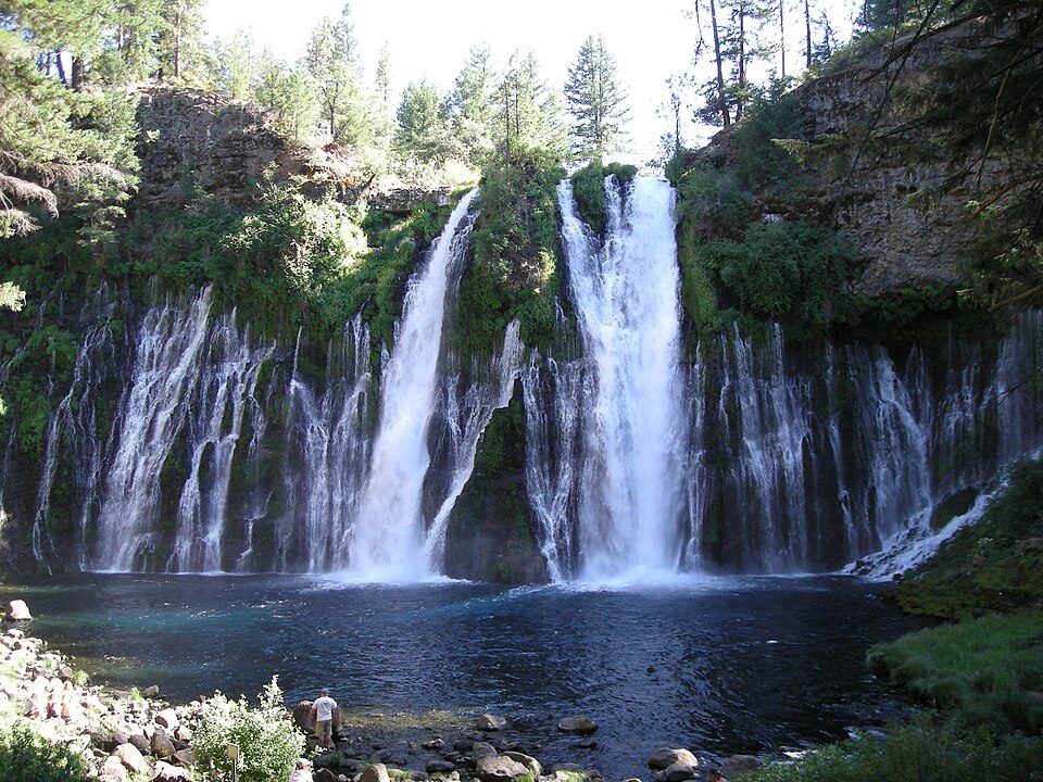 4
 5
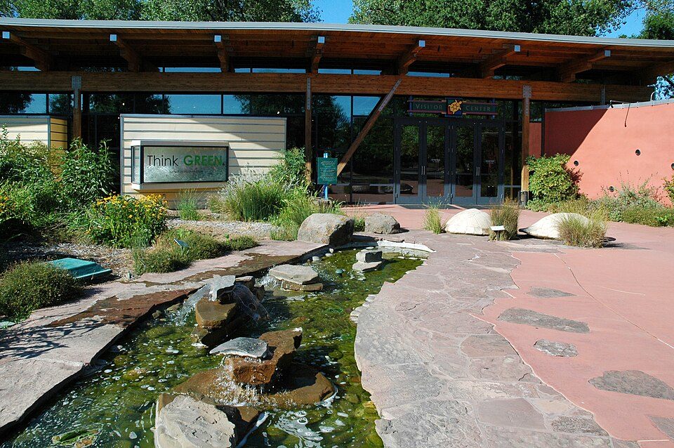 6
 8
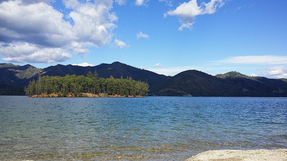 9
Whiskeytown-Shasta-Trinity National Recreation Area
National Recreation Area located in northern California.
 10
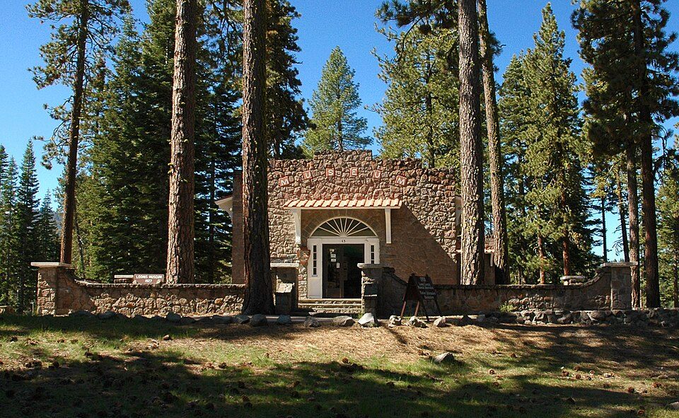 11
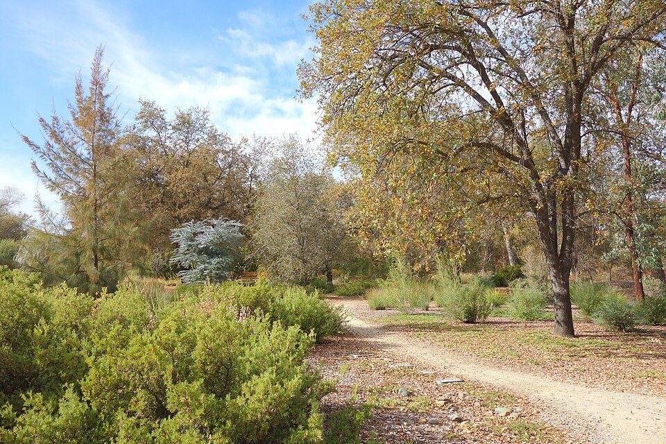 13
Ranked by how many people look them up, so the famous places lead and the local favorites follow.
Parks and trails in Hat Creek →
Photo credits
Mount Shasta: Frank Schulenburg, CC BY-SA 4.0 · Lassen Volcanic National Park: en:User:Mav, CC BY-SA 3.0 · Lassen Peak: Frank Schulenburg, CC BY-SA 4.0 · Burney Falls: Dvortygirl, CC BY-SA 3.0 · Mossbrae Falls: Pinecar at English Wikipedia, Public domain · Turtle Bay Exploration Park: DimiTalen, CC BY-SA 3.0 · Cascade Theatre: Publichall, CC BY-SA 3.0 · Whiskeytown-Shasta-Trinity National Recreation Area: RoyalMayfair, CC BY-SA 4.0 · Mount Shasta City Park: Daniel Mayer (talk · contribs), CC BY-SA 3.0 · Loomis Museum: DimiTalen, CC BY-SA 3.0 · Dunsmuir Botanical Gardens: Daniel Mayer (talk · contribs), CC BY-SA 3.0 · McConnell Arboretum & Botanical Gardens: Daderot, CC0


