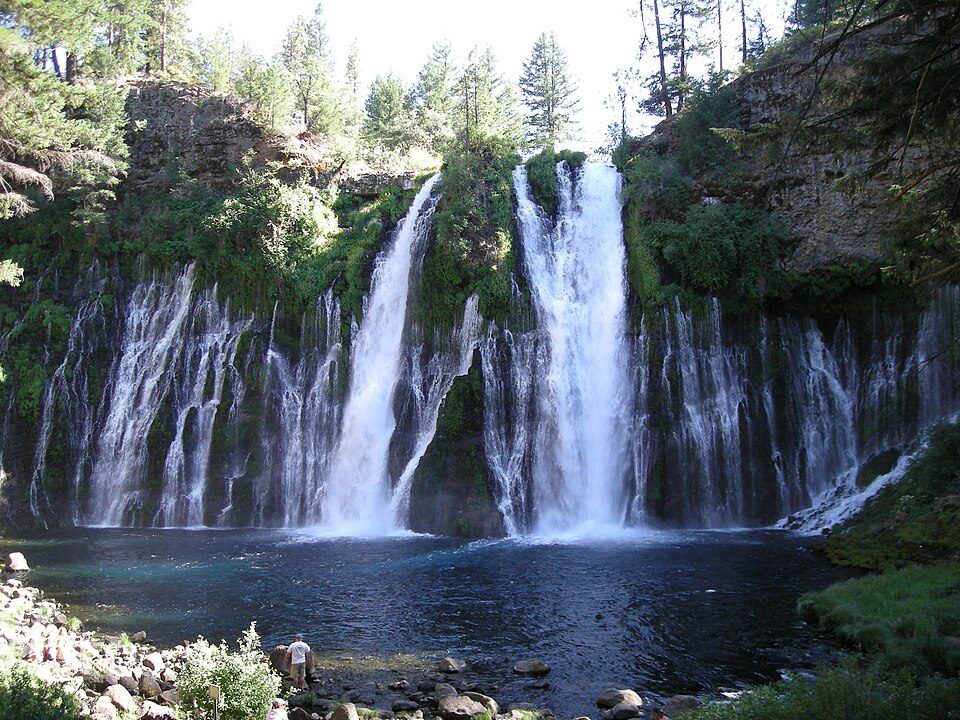
Burney Falls
Burney Falls is a waterfall on Burney Creek, within McArthur-Burney Falls Memorial State Park. On the map, it sits 8 mi northwest of Cassel. For mild weather, aim for May, June and September (72–83°F highs).

A waterfall, 8 mi northwest of Cassel
Burney is the nearest base
Burney is 9 miles south, with 9 places to stay. Where to stay ↓
Best months: May, Jun and Sep
May, June and September are the mild months, with highs of 72–83°. When to go ↓
Written from NOAA 1991–2020 normals, Overture places to stay, Census town figures, Wikidata and Wikipedia.
The year’s weather
This is the year’s weather near Burney Falls.
Burney Falls
Burney Falls is a waterfall on Burney Creek, within McArthur-Burney Falls Memorial State Park, in Shasta County, California.
The water comes from underground springs above and at the falls, which are 129 feet (39 m) high, and provides an almost constant flow rate of 379,000,000 liters (83,000,000 imp gal; 100,000,000 U.S. gal) per day, even during the dry summer months. Burney Creek is a tributary of the Pit River which has its mouth on the Lake Britton reservoir to the north.
- Type
- Waterfall
- Listed
- National Natural Landmark
- Wikipedia readers
- 23K a year
Hotels and campgrounds near Burney Falls
The first towns with rooms are Burney (9) and Fall River Mills (4).
Compare 7 towns
| Town | From Burney Falls | Drive | Places to stay | People | Typical home |
|---|---|---|---|---|---|
| Burney | 9 mi south | 15 min | 9 3 hotels · 4 motels · 2 lodges & cabins | 2,668 | $234K |
| Fall River Mills | 11 mi east | 15 min | 4 1 hotel · 1 motel · 1 inn or B&B · 1 lodge or cabins | 444 | — |
| Cassel 34% vacation homes | 8 mi southeast | 10 min | 2 1 lodge or cabins · 1 campground | 118 | — |
| Old Station 100% vacation homes | 27 mi southeast | 40 min | 5 2 hotels · 2 campgrounds · 1 RV park | — | — |
| Big Bend 26% vacation homes | 15 mi west | 20 min | 1 1 hotel | 67 | — |
| Hat Creek 33% vacation homes | 18 mi southeast | 25 min | 1 1 RV park | 57 | — |
| Bieber 22% vacation homes | 29 mi east | 45 min | 1 1 motel | 266 | $143K |
Getting there
Nearest airports with airline service
Around Burney Falls
Within 70 miles you can add these well-known places.
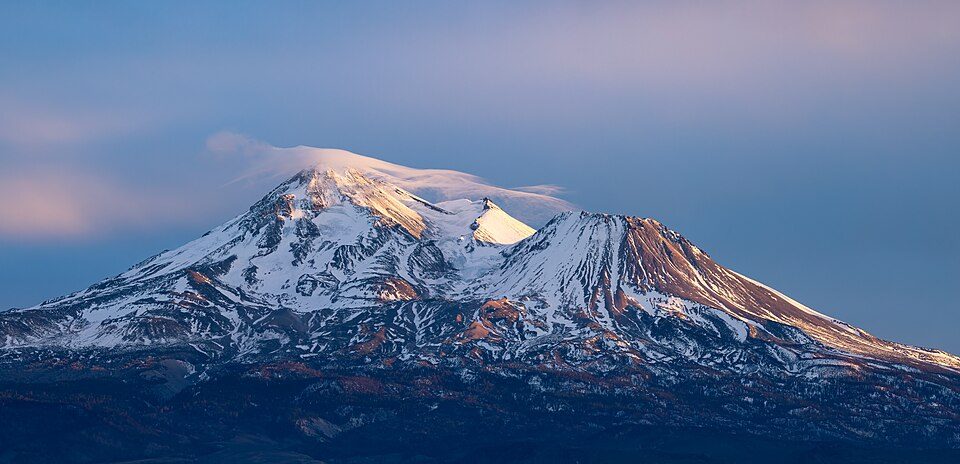 Big draw39 mi MountainMount Shasta
 37 mi National ParkLassen Volcanic National Park505K visitors a year
 37 mi MountainLassen Peak
 62 mi National MonumentTule Lake National Monument5K visitors a year
 49 mi National MonumentLava Beds National Monument144K visitors a year
 36 mi WaterfallMossbrae Falls
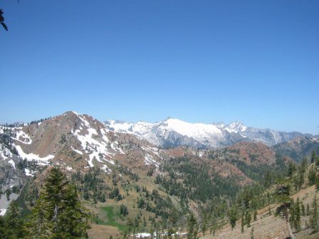 70 mi National forestShasta–Trinity National Forest36 mi Ski areaMt. Shasta Ski Park36 runs · 2,081 ft vertical
Photo credits
Mount Shasta: Frank Schulenburg, CC BY-SA 4.0 · Lassen Volcanic National Park: en:User:Mav, CC BY-SA 3.0 · Lassen Peak: Frank Schulenburg, CC BY-SA 4.0 · Tule Lake National Monument: Russell Lee, Public domain · Lava Beds National Monument: U.S. National Park Service, Public domain · Mossbrae Falls: Pinecar at English Wikipedia, Public domain · Shasta–Trinity National Forest: Unknown, CC BY-SA 3.0


Visiting Burney Falls: the answers
What town is Burney Falls near?
Cassel, CA, about 8 miles southeast.
When is the best time to visit Burney Falls?
May, June and September, with highs of 72–83°.
What is the closest airport to Burney Falls?
Redding Municipal (RDD), about 48 miles away. The nearest big hub is Reno Tahoe (RNO), about 144 miles.
Where should I stay near Burney Falls?
Burney (9 mi, 9 places to stay), Fall River Mills (11 mi, 4 places to stay) and Old Station (27 mi, 5 places to stay).
Inside knowledge from Cassel
Ask a question, or answer one, in Cassel’s Town Square.
Sources: National Park Service · ski areas © OpenSkiMap / OpenStreetMap contributors · Wikidata · Wikipedia readership · NOAA climate normals · U.S. Census.