
Mossbrae Falls
Mossbrae Falls is a waterfall flowing into the Sacramento River, in the Shasta Cascade area in Dunsmuir, California, United States.

A waterfall, 1 mi north of Dunsmuir
Dunsmuir is the nearest base
Dunsmuir is 1 miles south, with 10 places to stay. Where to stay ↓
Best months: May, Jun and Sep
May, June and September are the mild months, with highs of 72–83°. When to go ↓
Written from NOAA 1991–2020 normals, Overture places to stay, Census town figures and Wikipedia.
Weather, month by month
Typical highs and lows in Dunsmuir. Green months are the mild ones.
Mossbrae Falls
Mossbrae Falls is a waterfall flowing into the Sacramento River, in the Shasta Cascade area in Dunsmuir, California, United States. The falls are located just south of the lower portion of Shasta Springs. Access to the falls is via a mile-long illegal hiking trail on the Union Pacific Railroad right of way; the City of Dunsmuir is seeking to finish a safe hiking trail that will include a bridge over the river.
California Governor Arnold Schwarzenegger took President George H. W. Bush to see the falls.
- Type
- Waterfall
- Wikipedia readers
- 8K a year
Where to stay near Mossbrae Falls
The closest towns with hotels, motels or campgrounds are Mount Shasta (20) and Dunsmuir (10).
Mount Shasta
The closest town with somewhere to stay.
3,071 people
6 mi northwest of Mossbrae Falls
Compare 8 towns
| Town | From Mossbrae Falls | Drive | Places to stay | People | Typical home | Safety |
|---|---|---|---|---|---|---|
| Mount Shasta | 6 mi northwest | 10 min | 20 10 hotels · 2 motels · 4 inns & B&Bs · 2 lodges & cabins · 2 campgrounds | 3,071 | $330K | C+ |
| Dunsmuir 27% vacation homes | 1 mi south | — | 10 7 hotels · 1 motel · 1 inn or B&B · 1 lodge or cabins | 1,587 | $279K | B− |
| McCloud 21% vacation homes | 7 mi east | 10 min | 10 4 hotels · 4 inns & B&Bs · 1 lodge or cabins · 1 RV park | 829 | $328K | — |
| Castella 48% vacation homes | 5 mi south | 5 min | 6 1 hotel · 1 motel · 1 lodge or cabins · 1 campground · 2 RV parks | 204 | $318K | — |
| Weed | 13 mi northwest | 20 min | 11 4 hotels · 3 motels · 1 inn or B&B · 2 campgrounds · 1 RV park | 2,603 | $260K | C− |
| Lakehead 26% vacation homes | 24 mi south | 35 min | 13 3 hotels · 2 motels · 1 lodge or cabins · 4 campgrounds · 3 RV parks | 577 | $272K | — |
| Coffee Creek 27% vacation homes | 26 mi southwest | 40 min | 3 1 hotel · 2 lodges & cabins | 280 | $373K | — |
| Trinity Center 56% vacation homes | 29 mi southwest | 45 min | 3 1 hotel · 1 campground · 1 RV park | 414 | $344K | — |
Getting there
Nearest airports with airline service
Also near Mossbrae Falls
Other well-known places within 68 miles. Numbered ones are on the map above.
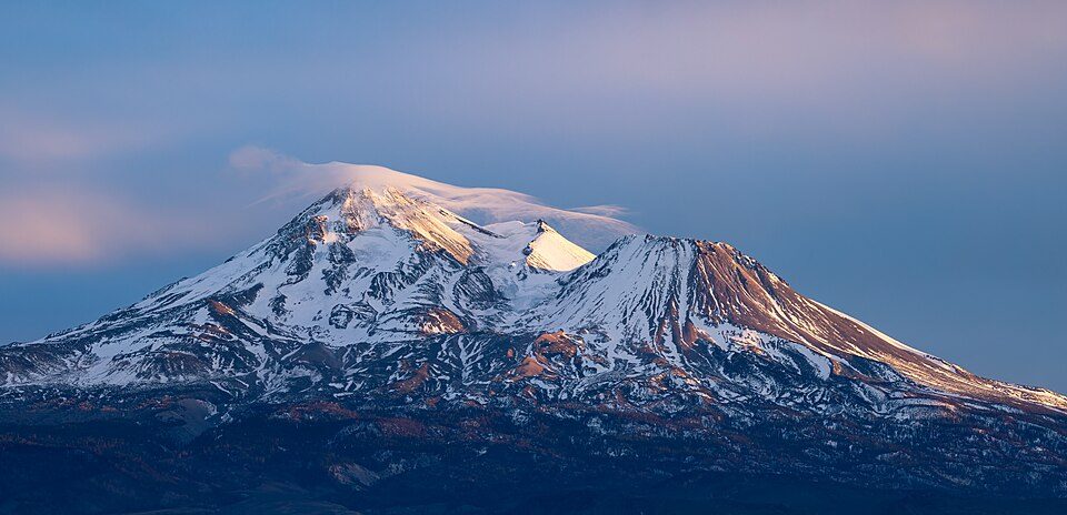 Big draw112 mi MountainMount Shasta
 68 mi National ParkLassen Volcanic National Park505K visitors a year
 66 mi MountainLassen Peak
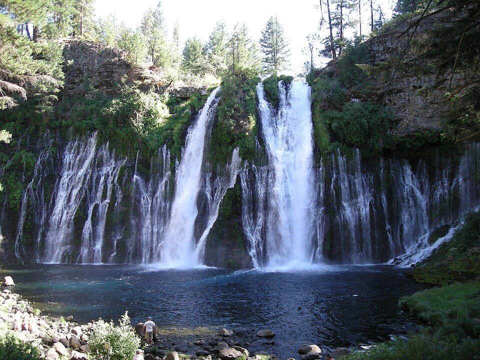 36 mi WaterfallBurney Falls
 64 mi National MonumentTule Lake National Monument5K visitors a year
 51 mi National MonumentLava Beds National Monument144K visitors a year
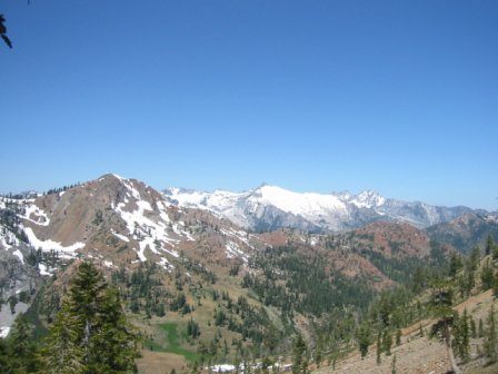 50 mi National forestShasta–Trinity National Forest27 mi Ski areaMt. Shasta Ski Park36 runs · 2,081 ft vertical
Photo credits
Mount Shasta: Frank Schulenburg, CC BY-SA 4.0 · Lassen Volcanic National Park: en:User:Mav, CC BY-SA 3.0 · Lassen Peak: Frank Schulenburg, CC BY-SA 4.0 · Burney Falls: Dvortygirl, CC BY-SA 3.0 · Tule Lake National Monument: Russell Lee, Public domain · Lava Beds National Monument: U.S. National Park Service, Public domain · Shasta–Trinity National Forest: Unknown, CC BY-SA 3.0


Visiting Mossbrae Falls
What town is Mossbrae Falls near?
Dunsmuir, CA, about 1 miles south.
When is the best time to visit Mossbrae Falls?
May, June and September, with highs of 72–83°.
What is the closest airport to Mossbrae Falls?
Redding Municipal (RDD), about 51 miles away. The nearest big hub is Reno Tahoe (RNO), about 178 miles.
Where should I stay near Mossbrae Falls?
Mount Shasta (6 mi, 20 places to stay), Dunsmuir (1 mi, 10 places to stay) and McCloud (7 mi, 10 places to stay).
Tips from people in Dunsmuir
No tips yet. Ask, or answer, in Dunsmuir’s Town Square.
Sources: National Park Service · ski areas © OpenSkiMap / OpenStreetMap contributors · Wikidata · Wikipedia readership · NOAA climate normals · U.S. Census.