
Lassen Peak
Lassen Peak ( LASS-ən), commonly referred to as Mount Lassen, is a 10,457-foot (3,187 m) lava dome volcano in Lassen Volcanic National Park. It stands 6 mi north of Mineral. Around it, Lassen Volcanic (4.1 mi) comes first on our list.

A mountain, 6 mi north of Mineral
One of the most looked-up attractions in the U.S.
About 65K people a year read its Wikipedia article, more than for 95% of the 7,799 attractions we track.
Old Station is the nearest base
Old Station is 14 miles north, with 5 places to stay. Where to stay ↓
Best months: Jul, Aug and Sep
July, August and September are the mild months, with highs of 71–77°. When to go ↓
Written from NOAA 1991–2020 normals, Overture places to stay, Census town figures, Wikidata and Wikipedia.
Warm months and cold ones
Each month’s highs and lows around Lassen Peak are below.
Lassen Peak
Lassen Peak ( LASS-ən), commonly referred to as Mount Lassen, is a 10,457-foot (3,187 m) lava dome volcano in Lassen Volcanic National Park in Northern California. Located in the Shasta Cascade region above the northern Sacramento Valley, it is the southernmost active volcano in the Cascade Range of the Western United States, and part of the Cascade Volcanic Arc stretching from southwestern British Columbia to Northern California. It supports many flora and fauna among its diverse habitats, which reach high elevations and are subject to frequent snowfall.
- Type
- Mountain
- Elevation
- 10,463 ft
- Wikipedia readers
- 65K a year
Rooms near Lassen Peak
For a bed close by, look to Mineral (4) and Old Station (5).
Mineral
The closest town with somewhere to stay.
133 people · 78% vacation homes
6 mi south of Lassen Peak
Compare 8 towns
| Town | From Lassen Peak | Drive | Places to stay | People | Typical home |
|---|---|---|---|---|---|
| Mineral 78% vacation homes | 6 mi south | 10 min | 4 1 lodge or cabins · 2 campgrounds · 1 RV park | 133 | — |
| Old Station 100% vacation homes | 14 mi north | 20 min | 5 2 hotels · 2 campgrounds · 1 RV park | — | — |
| Chester 22% vacation homes | 19 mi southeast | 30 min | 7 2 hotels · 2 inns & B&Bs · 1 lodge or cabins · 1 campground · 1 RV park | 1,759 | $305K |
| Burney | 29 mi north | 45 min | 9 3 hotels · 4 motels · 2 lodges & cabins | 2,668 | $234K |
| Lake Almanor Peninsula 64% vacation homes | 24 mi southeast | 35 min | 5 2 hotels · 1 inn or B&B · 2 lodges & cabins | 412 | $546K |
| Prattville 54% vacation homes | 27 mi southeast | 40 min | 4 4 campgrounds | 57 | $1,020K |
| Butte Meadows 91% vacation homes | 28 mi south | 40 min | 4 2 lodges & cabins · 2 campgrounds | 25 | — |
| Shingletown | 19 mi west | 30 min | 1 1 campground | 2,164 | $236K |
Getting there
Nearest airports with airline service
Close to Lassen Peak
These well-known places are within 66 miles.
 14 mi National ParkLassen Volcanic National Park505K visitors a year
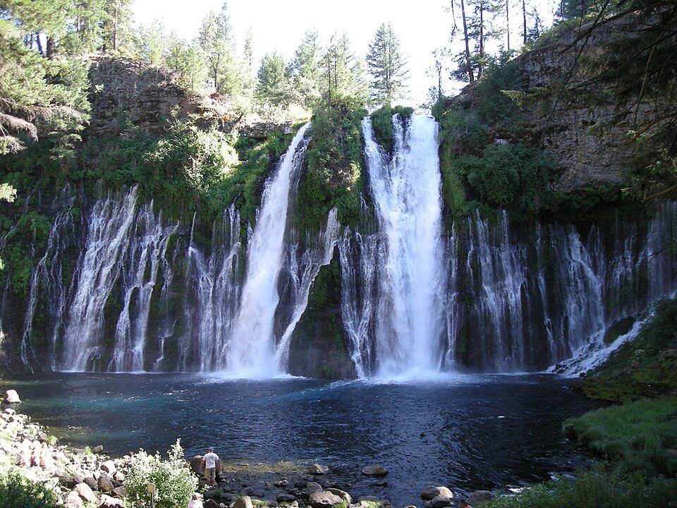 37 mi WaterfallBurney Falls
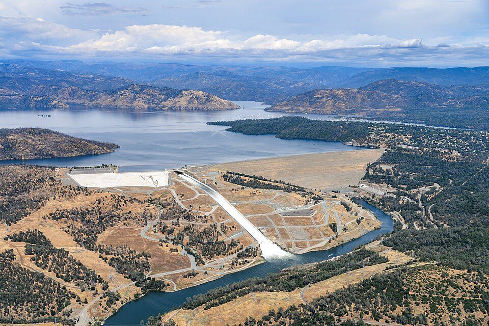 66 mi DamOroville Dam
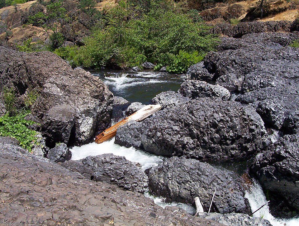 52 mi Park & preserveBidwell Park
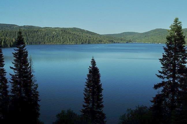 56 mi National forestPlumas National Forest
 66 mi WaterfallMossbrae Falls
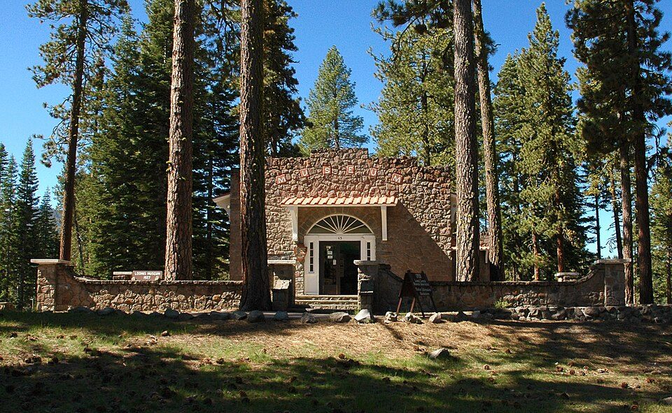 25 mi MuseumLoomis Museum
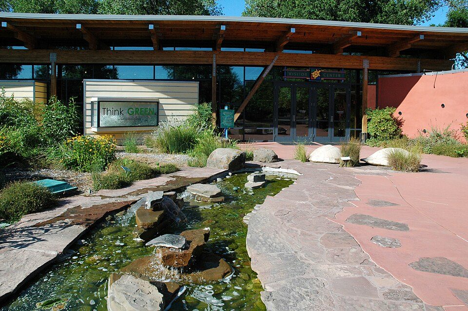 46 mi MuseumTurtle Bay Exploration Park
Photo credits
Lassen Volcanic National Park: en:User:Mav, CC BY-SA 3.0 · Burney Falls: Dvortygirl, CC BY-SA 3.0 · Oroville Dam: California Department of Water Resources, Public domain · Bidwell Park: Saopaulo1 at English Wikipedia, CC BY-SA 3.0 · Plumas National Forest: Plumas National Forest, Public domain · Mossbrae Falls: Pinecar at English Wikipedia, Public domain · Loomis Museum: DimiTalen, CC BY-SA 3.0 · Turtle Bay Exploration Park: DimiTalen, CC BY-SA 3.0


Quick answers on Lassen Peak
What town is Lassen Peak near?
Mineral, CA, about 6 miles south.
When is the best time to visit Lassen Peak?
July, August and September, with highs of 71–77°.
What is the closest airport to Lassen Peak?
Redding Municipal (RDD), about 41 miles away. The nearest big hub is Reno Tahoe (RNO), about 115 miles.
Where should I stay near Lassen Peak?
Mineral (6 mi, 4 places to stay), Old Station (14 mi, 5 places to stay) and Chester (19 mi, 7 places to stay).
Tips for visiting, from Mineral
Share what you know in Mineral’s Town Square.
Sources: National Park Service · ski areas © OpenSkiMap / OpenStreetMap contributors · Wikidata · Wikipedia readership · NOAA climate normals · U.S. Census.