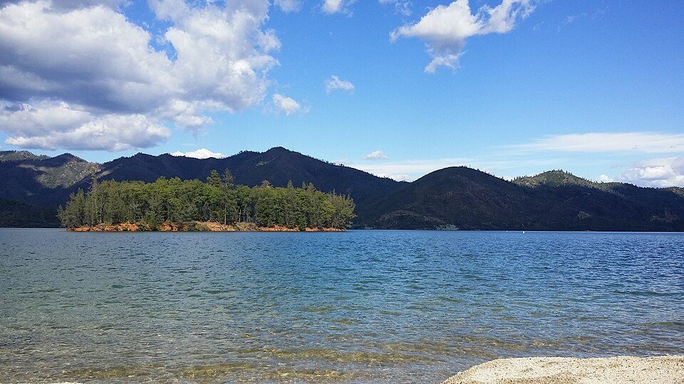
Whiskeytown-Shasta-Trinity National Recreation Area
The Whiskeytown–Shasta–Trinity National Recreation Area is a United States National Recreation Area in northern California. It lies 3 mi northwest of Shasta. The National Park Service manages it. A total of 764K visitors came in 2025.

A national recreation area, 3 mi northwest of Shasta
July is the busiest month
July averages about 167,158 visitors, 6.9 times December. When to go ↓
Summers are hot
July and August highs run 96–98°, and about 98 days a year reach 90°. When to go ↓
You can sleep inside the park
3 places to stay are inside the park: Peltier Bridge Campground and N.E.E.D. Camp - Whiskeytown Environmental School. The nearest town with more is Redding. Where to stay ↓
Best months: Mar, Oct and Nov
March, October and November are mild and quieter than average, with highs of 62–78°. When to go ↓
Established in 1965
Whiskeytown-Shasta-Trinity National Recreation Area dates from 1965 and is run by National Park Service and United States Forest Service. About ↓
Written from National Park Service visitor counts, NOAA 1991–2020 normals, Overture places to stay, Census town figures, Wikidata and Wikipedia. Updated when the Park Service posts a new month.
Crowds, highs and lows
Here is how visitors and weather at Whiskeytown-Shasta-Trinity change through the year.
Whiskeytown-Shasta-Trinity National Recreation Area
The Whiskeytown–Shasta–Trinity National Recreation Area is a United States National Recreation Area in northern California. The recreation area was authorized in 1965 by the United States Congress. Recreational activities available include swimming, fishing, boating, camping, and hiking.
The Whiskeytown–Shasta–Trinity National Recreation Area (WST-NRA) has a total of 246,087 acres (99,588 ha) of land, which is divided into the Shasta, Trinity, and Whiskeytown Units. The Shasta–Trinity National Forest surrounds the Shasta and Trinity units, so they are managed by the United States Forest Service. The National Park Service manages the Whiskeytown unit.
- Type
- National Recreation Area
- Established
- 1965
- Area
- 385 square miles
- Elevation
- 2,638 ft
- Run by
- National Park Service · United States Forest Service
- Wikipedia readers
- 1.8K a year
- Official site
- nps.gov/whis
Visit details
- Per Person$15
- Motorcycle$20
- Private Vehicle$25
Rooms near Whiskeytown-Shasta-Trinity National Recreation Area
You can sleep inside the park (3 places). Nearest for a night are Redding (63) and Lewiston (14).
- 1Shasta–Trinity National Forest
- 2Turtle Bay Exploration Park
- 3Weaverville Joss House State Historic Park
Stay in the park
- Peltier Bridge Campground campground
- N.E.E.D. Camp - Whiskeytown Environmental School campground
- Brandy Creek Campground campground
Redding
The closest town with somewhere to stay.
94,092 people
9 mi east of Whiskeytown Visitor Center · 7 mi to the park
Compare 8 towns
| Town | From the visitor center | Drive | Places to stay | People | Typical home | Safety |
|---|---|---|---|---|---|---|
| Redding | 9 mi east | 15 min | 63 36 hotels · 12 motels · 7 inns & B&Bs · 2 lodges & cabins · 1 campground · 5 RV parks | 94,092 | $382K | — |
| Lewiston | 17 mi west | 25 min | 14 3 hotels · 1 motel · 2 inns & B&Bs · 3 lodges & cabins · 3 campgrounds · 2 RV parks | 2,020 | $310K | — |
| Anderson | 16 mi southeast | 25 min | 9 4 hotels · 1 motel · 1 lodge or cabins · 1 campground · 2 RV parks | 11,131 | $283K | D |
| Mountain Gate | 12 mi northeast | 20 min | 5 1 motel · 4 RV parks | 742 | $210K | — |
| Lakehead 26% vacation homes | 21 mi north | 30 min | 13 3 hotels · 2 motels · 1 lodge or cabins · 4 campgrounds · 3 RV parks | 577 | $272K | — |
| Shasta | 3 mi southeast | 5 min | 1 1 lodge or cabins | 1,387 | $396K | — |
| Red Bluff | 34 mi southeast | 50 min | 30 12 hotels · 9 motels · 1 inn or B&B · 1 lodge or cabins · 4 campgrounds · 3 RV parks | 14,404 | $300K | D− |
| Weaverville | 23 mi west | 35 min | 9 1 hotel · 3 motels · 2 inns & B&Bs · 1 lodge or cabins · 2 campgrounds | 4,018 | $339K | — |
Getting there
Nearest airports with airline service, from the visitor center
Worth adding to a visit
Within 61 miles you can add these well-known places.
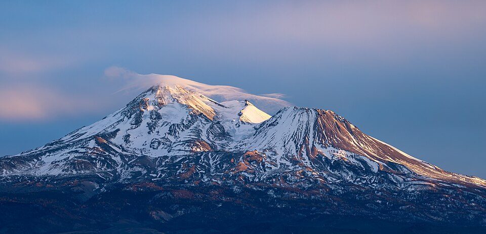 Big draw57 mi MountainMount Shasta
 60 mi National ParkLassen Volcanic National Park505K visitors a year
 56 mi MountainLassen Peak
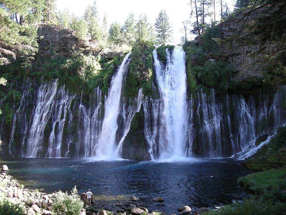 54 mi WaterfallBurney Falls
 121 mi National forestShasta–Trinity National Forest
 45 mi WaterfallMossbrae Falls
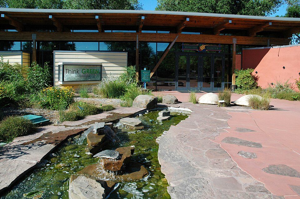 210 mi MuseumTurtle Bay Exploration Park
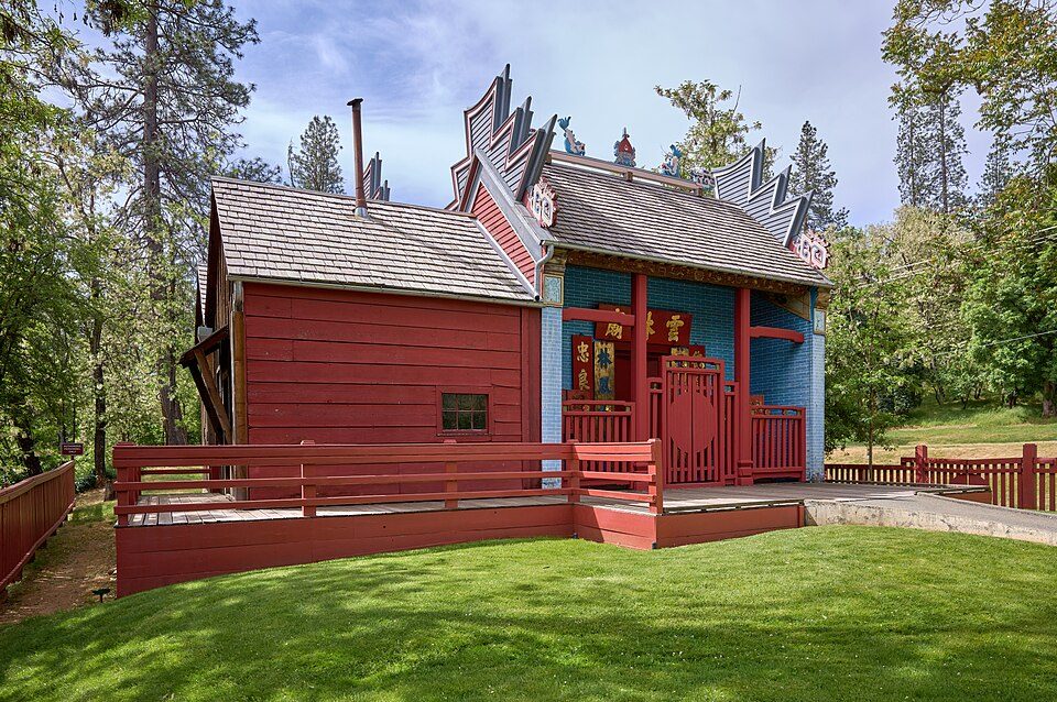 321 mi MuseumWeaverville Joss House State Historic Park
Photo credits
Mount Shasta: Frank Schulenburg, CC BY-SA 4.0 · Lassen Volcanic National Park: en:User:Mav, CC BY-SA 3.0 · Lassen Peak: Frank Schulenburg, CC BY-SA 4.0 · Burney Falls: Dvortygirl, CC BY-SA 3.0 · Shasta–Trinity National Forest: Unknown, CC BY-SA 3.0 · Mossbrae Falls: Pinecar at English Wikipedia, Public domain · Turtle Bay Exploration Park: DimiTalen, CC BY-SA 3.0 · Weaverville Joss House State Historic Park: Frank Schulenburg, CC BY-SA 4.0


763,798 visits in 2025
See how visits changed from 2016 to 2025.
Asked about Whiskeytown-Shasta-Trinity
What town is Whiskeytown-Shasta-Trinity National Recreation Area near?
Shasta, CA, about 3 miles southeast.
When is the best time to visit Whiskeytown-Shasta-Trinity National Recreation Area?
March, October and November, with highs of 62–78°. July is the busiest month (about 167,158 visitors).
How many people visit Whiskeytown-Shasta-Trinity National Recreation Area each year?
763,798 in 2025, according to the National Park Service. The record is 1,505,134, set in 2022.
What is the closest airport to Whiskeytown-Shasta-Trinity National Recreation Area?
Redding Municipal (RDD), about 14 miles away. The nearest big hub is Sacramento (SMF), about 142 miles.
Where should I stay near Whiskeytown-Shasta-Trinity National Recreation Area?
Inside the park: Peltier Bridge Campground, N.E.E.D. Camp - Whiskeytown Environmental School and Brandy Creek Campground. Nearby: Redding (9 mi, 63 places to stay), Lewiston (17 mi, 14 places to stay) and Anderson (16 mi, 9 places to stay).
Ask a local in Shasta
Nobody has posted a tip yet; ask or answer in Shasta’s Town Square.
Sources: National Park Service · ski areas © OpenSkiMap / OpenStreetMap contributors · Wikidata · Wikipedia readership · National Park Service visitor use statistics · NOAA climate normals · U.S. Census.