Cedar SlopeCA
A town in California.
Is Cedar Slope a good place to live?
Cedar Slope’s July high is 79°F, where California’s towns sit at 89°F and U.S. towns at 85°F. Only 7 of the 847 California towns we compare have a lower January low than Cedar Slope. 30% of the land in Cedar Slope is conserved, where California’s towns sit at 4.3% and U.S. towns at 4.3%. The biggest park or preserve is Giant Sequoia National Monument, at 54 acres. We don’t grade Cedar Slope yet; the figures below are still real.
Moving to Cedar Slope: who provides what
Cedar Slope is unincorporated, so Tulare County and regional agencies provide most services.
EPA SDWIS (Oct 9, 2026) · HIFLD + EIA-861 2025 · Census 2020 ZCTAs · NCES 2024–25 · registration: vote.gov, updated Nov 18, 2024.
The data
Ordered by what stands out in Cedar Slope.
Cedar Slope faces a very high natural-hazard risk, led by wildfire
FEMA expects more storm and flood damage in Cedar Slope than in 99% of U.S. communities. 36% of the town’s expected losses from natural hazards come from wildfires, followed by inland flooding at 30%.
FEMA National Risk Index · OpenFEMA
Trail density in Cedar Slope is higher than in the typical California or U.S. town
Count the trails in 1 park or preserve and they come to 3.8 miles.
| Biggest places to walk | Trails | Acres |
|---|---|---|
| 1. Giant Sequoia National Monument | 0.6 mi | 54 |
Trails & parks © OpenStreetMap contributors · Conserved land: USGS PAD-US
Four seasons and pleasant summers in Cedar Slope
July afternoons reach 79° and January nights drop to 25°.
Typical low → high °F
NOAA U.S. Climate Normals, 1991–2020
How healthy Cedar Slope is
Two figures for adults in Cedar Slope: 17% report frequent physical distress, 31% sleep under 7 hours. The town beats the California average on 8 of 32 CDC measures and trails it on 11. For adults here, the share who have diabetes is 14%.
| Cedar Slope | Typical California town | Typical U.S. town | |
|---|---|---|---|
| High blood pressure (CDC PLACES) | 40% | 31% | 35% |
| Frequent physical distress (CDC PLACES) | 17% | 14% | 14% |
| Sleep under 7 hours (CDC PLACES) | 31% | 35% | 36% |
| Diabetes (CDC PLACES) | 14% | 12% | 12% |
| What stands out | Cedar Slope | CA |
|---|---|---|
| Fewer uninsured adults | 8.2% | 10.6% |
| Fewer adults facing housing insecurity | 11.9% | 14.9% |
| More adults with COPD | 9.1% | 5.1% |
CDC PLACES 2025 · modeled estimates for adults · CMS · HRSA
Mount Whitney and 7 more within 40 miles
Museums, parks, gardens and other places to visit around Cedar Slope. Close and well known come first.
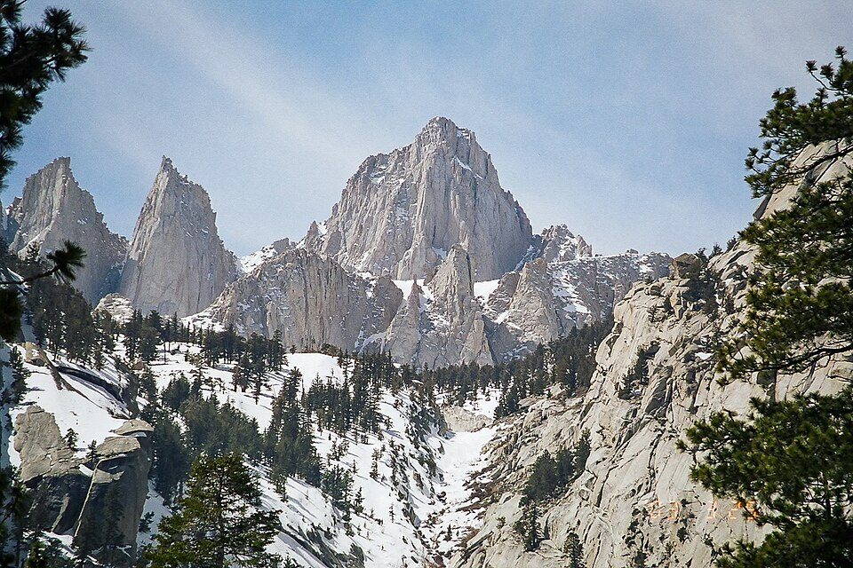 Big draw34 mi MountainMount Whitney
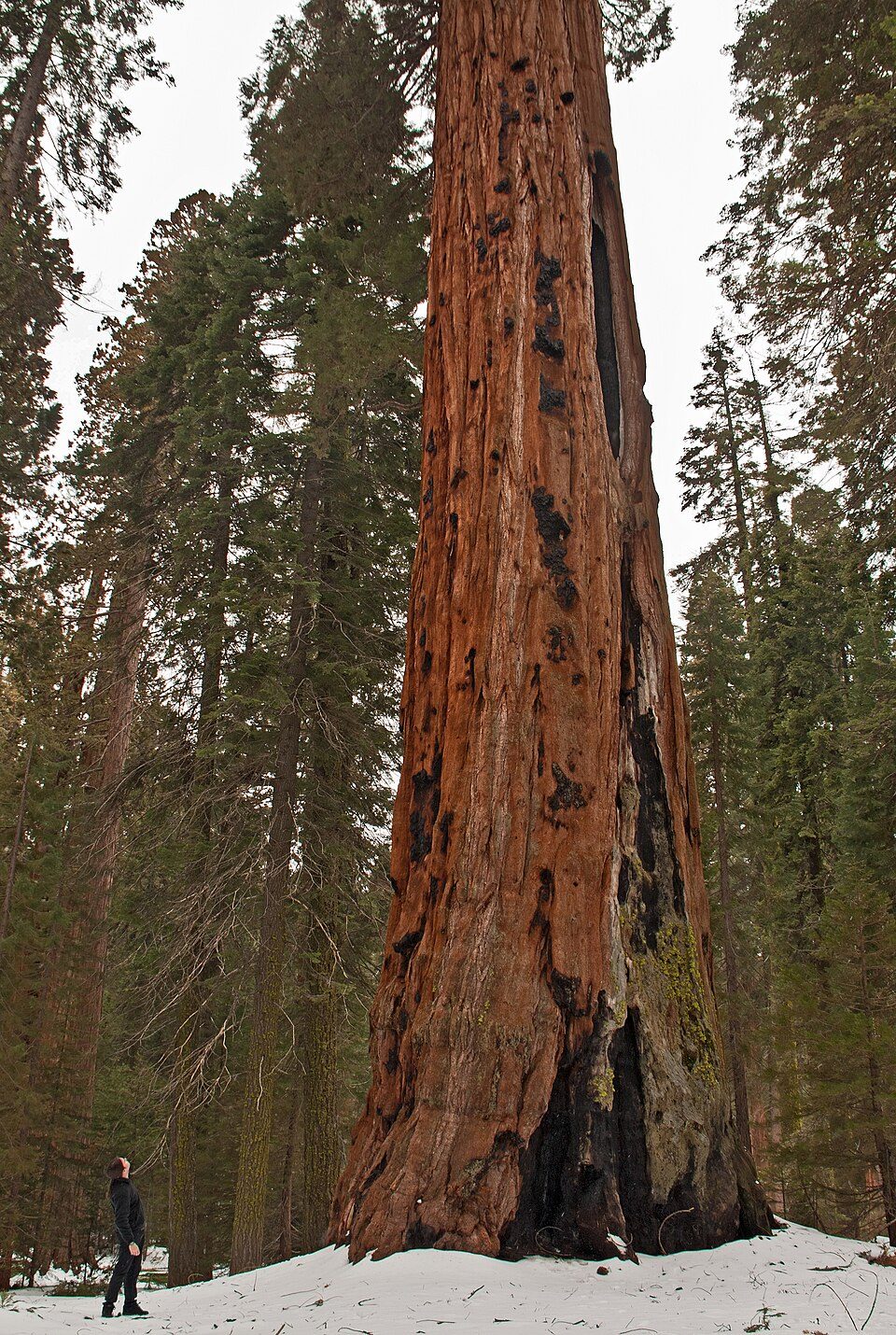 Big draw11 mi National ParkSequoia National Park1.4M visitors a year
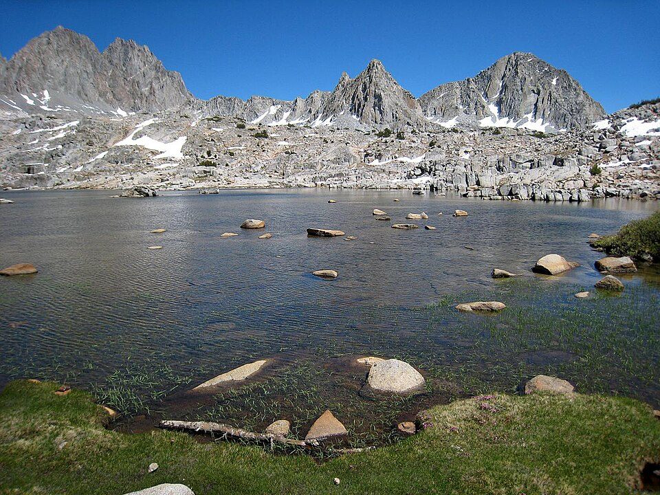 31 mi National ParkKings Canyon National Park780K visitors a year
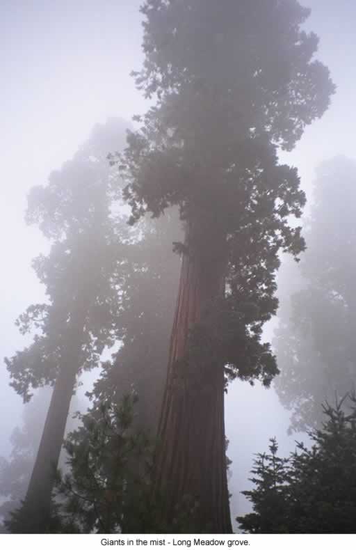 8 mi National forestSequoia National Forest
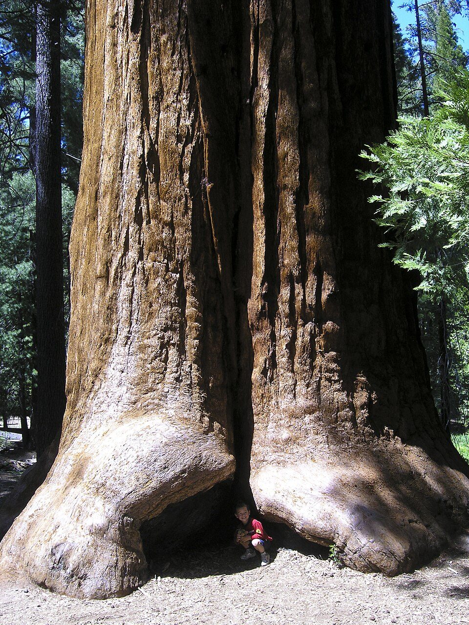 8 mi Park & preserveGiant Sequoia National Monument
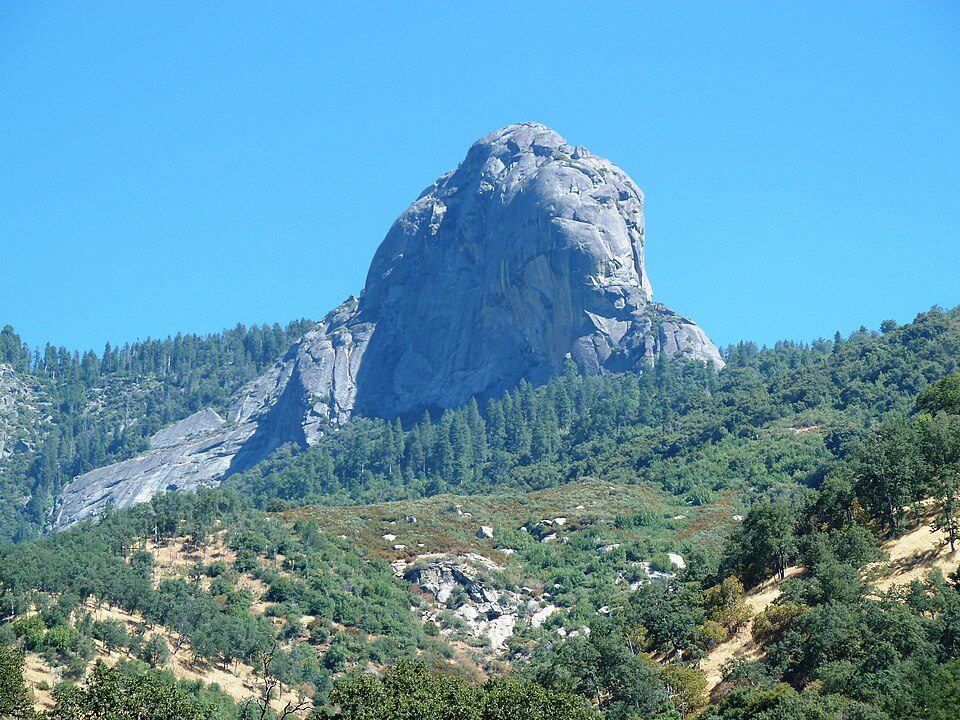 29 mi MountainMoro Rock
Photo credits
Mount Whitney: Geographer (talk · contribs), CC BY 1.0 · Sequoia National Park: Alberto Carrasco Casado, CC BY 2.0 · Kings Canyon National Park: NileGuide.com (Josh Steinitz), CC BY 2.0 · Sequoia National Forest: US Forest Service, Public domain · Giant Sequoia National Monument: Jason Hickey, CC BY 2.0 · Moro Rock: DiverDave, CC BY-SA 3.0


Everything we know about Cedar Slope
Colleges nearby
None within 15 miles of Cedar Slope; the nearest are
About Cedar Slope
Census-designated place in California, United States
Cedar Slope is a census-designated place (CDP) in Tulare County, California. Cedar Slope sits at an elevation of 5,584 feet (1,702 m). The 2020 United States census reported that Cedar Slope was 10, this is up from zero in 2010. Cedar Slope can be reached from Porterville by 37 curvy miles on California State Route 190 with an elevation gain of 5,525 feet.
From Wikipedia, licensed CC BY-SA 4.0 · facts via Wikidata (CC0)
- Area
- 0.7 sq mi
- Elevation
- 5,584 ft
Questions about Cedar Slope
Short answers, built from the data on this page.
Is Cedar Slope, CA a good place to live?
We don’t grade Cedar Slope yet; the figures below are still real. A town in California.