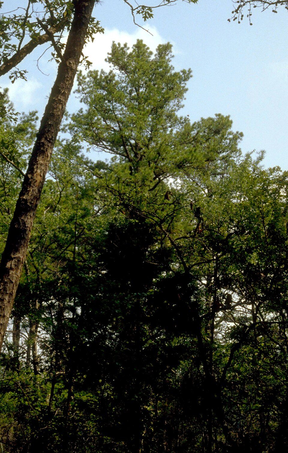
Ozark–St. Francis National Forest
The Ozark – St. Francis National Forest is a United States National Forest that is located in the state of Arkansas. It lies in Pocola itself. Management falls to the United States Forest Service.

A national forest inside Pocola
Summers are hot
July and August highs run 93–93°, and about 78 days a year reach 90°. When to go ↓
Fort Smith is the nearest base
Fort Smith is 8 miles northeast, with 57 places to stay. Where to stay ↓
Best months: Mar, Apr, May and Oct
March, April, May and October are the mild months, with highs of 65–81°. When to go ↓
An airport 7 miles away
Fort Smith Regional (FSM) has airline service, about 7 miles from Ozark–St. Francis National Forest.
Written from NOAA 1991–2020 normals, Overture places to stay, Census town figures, Wikidata and Wikipedia.
Weather, month by month
This is the year’s weather near Ozark–St. Francis National Forest.
Ozark–St. Francis National Forest
The Ozark – St. Francis National Forest is a United States National Forest that is located in the state of Arkansas. It is composed of two separate forests, Ozark National Forest in the Ozark Mountains; and St. Francis National Forest on Crowley's Ridge. Each forest has distinct biological, topographical, and geological differences.
Together, the two forests are home to 23 developed campgrounds, and include nine swimming areas, 395 miles (636 km) of hiking trails, and 370 miles (600 km) of streams for fishing. The majority of the trails in what are now the Ozark National Forest and St. Francis National Forest were constructed under the Works Progress Administration (WPA) and Civilian Conservation Corps (CCC).
- Type
- National forest
- Run by
- United States Forest Service
- Wikipedia readers
- 6.2K a year
Towns to stay in near Ozark–St. Francis National Forest
For a bed close by, look to Fort Smith (57) and Van Buren (15).
Compare 8 towns
| Town | From Ozark–St. Francis National Forest | Drive | Places to stay | People | Typical home | Safety |
|---|---|---|---|---|---|---|
| Pocola | in town | — | 1 1 hotel | 4,660 | $151K | A− |
| Fort Smith | 8 mi northeast | 10 min | 57 36 hotels · 11 motels · 1 inn or B&B · 5 lodges & cabins · 3 campgrounds · 1 RV park | 90,855 | $178K | D− |
| Van Buren | 14 mi northeast | 20 min | 15 12 hotels · 1 motel · 1 campground · 1 RV park | 24,556 | $182K | C− |
| Poteau | 16 mi southwest | 25 min | 12 7 hotels · 2 motels · 1 lodge or cabins · 2 RV parks | 9,171 | $157K | D |
| Roland | 10 mi north | 15 min | 4 2 hotels · 1 inn or B&B · 1 RV park | 4,146 | $140K | C+ |
| Sallisaw | 23 mi northwest | 35 min | 13 6 hotels · 5 motels · 1 campground · 1 RV park | 8,790 | $134K | D |
| Spiro | 9 mi west | 15 min | 2 1 motel · 1 RV park | 2,230 | $101K | B− |
| Alma | 21 mi northeast | 30 min | 6 4 hotels · 1 motel · 1 RV park | 6,071 | $234K | C |
Getting there
Nearest airports with airline service
Next door to Ozark–St. Francis National Forest
Pair a visit with these, within 60 miles.
 16 mi Ancient siteSpiro Mounds
 47 mi MountainMount Magazine
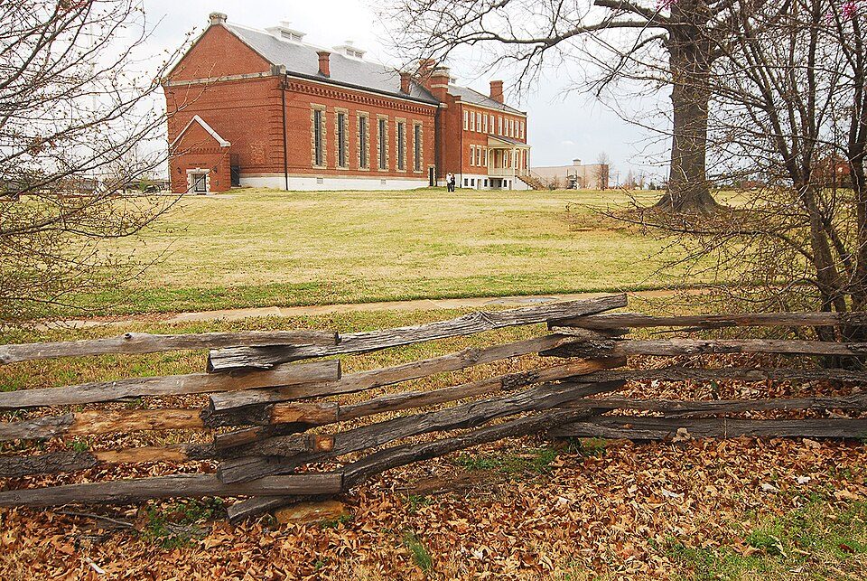 26 mi National Historic SiteFort Smith National Historic Site107K visitors a year
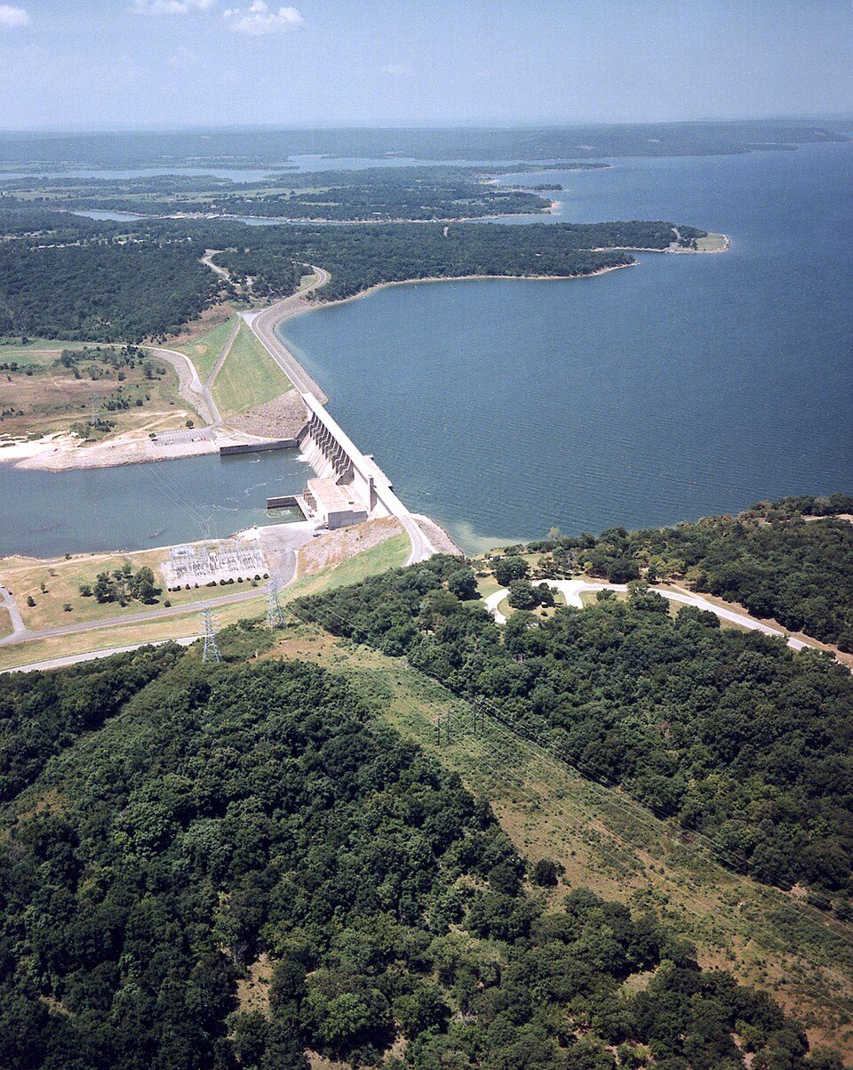 59 mi LakeEufaula Lake
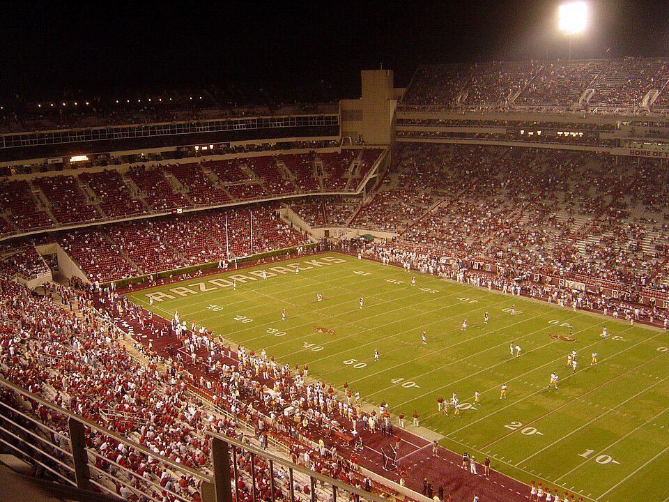 57 mi Stadium & arenaDonald W. Reynolds Razorback Stadium
 59 mi MuseumUSS Batfish
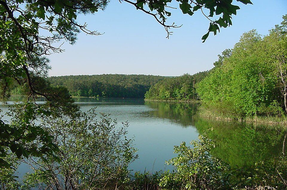 55 mi National forestOuachita National Forest
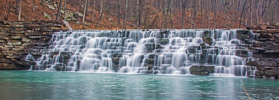 37 mi State parkDevil's Den State Park
Photo credits
Spiro Mounds: Herb Roe Original uploader was Heironymous Rowe at en.wikipedia, CC BY-SA 3.0 · Mount Magazine: Fredlyfish4, CC BY-SA 3.0 · Fort Smith National Historic Site: Photolitherland (talk) Chris Litherland, CC BY-SA 3.0 · Eufaula Lake: U.S. Army Corps of Engineers, photographer not specified or unknown, Public domain · Donald W. Reynolds Razorback Stadium: Bobak at en.wikipedia, CC BY-SA 2.5 · USS Batfish: Blackwing.1, CC BY-SA 3.0 · Ouachita National Forest: U.S. Forest Service, Public domain · Devil's Den State Park: jaystout, CC BY 2.0


Ozark–St. Francis National Forest: what to know
Is Ozark–St. Francis National Forest in Pocola?
Yes. It’s inside Pocola, OK.
When is the best time to visit Ozark–St. Francis National Forest?
March, April, May and October, with highs of 65–81°.
How far is Ozark–St. Francis National Forest from Tulsa?
About 99 miles northwest of Tulsa, as the crow flies.
What is the closest airport to Ozark–St. Francis National Forest?
Fort Smith Regional (FSM), about 7 miles away. The nearest big hub is Tulsa (TUL), about 102 miles.
Where should I stay near Ozark–St. Francis National Forest?
Fort Smith (8 mi, 57 places to stay), Van Buren (14 mi, 15 places to stay) and Poteau (16 mi, 12 places to stay).
Ask a local in Pocola
Share what you know in Pocola’s Town Square.
Sources: National Park Service · ski areas © OpenSkiMap / OpenStreetMap contributors · Wikidata · Wikipedia readership · NOAA climate normals · U.S. Census.