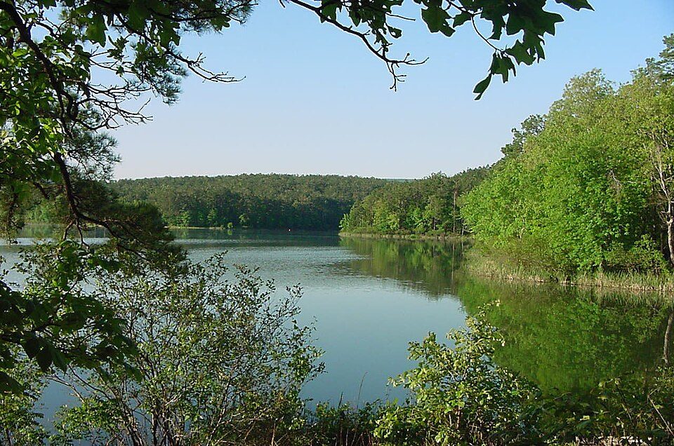
Ouachita National Forest
The Ouachita National Forest is a vast congressionally-designated National Forest that lies in the western portion of Arkansas and portions of extreme-eastern Oklahoma, USA. It stands 6 mi south of Mena. For mild weather, aim for April, May, September and October (71–84°F highs).

A national forest, 6 mi south of Mena
Mena is the nearest base
Mena is 6 miles north, with 19 places to stay. Where to stay ↓
Best months: Apr, May, Sep and Oct
April, May, September and October are the mild months, with highs of 71–84°. When to go ↓
Written from NOAA 1991–2020 normals, Overture places to stay, Census town figures, Wikidata and Wikipedia.
A month-by-month look
Each month’s highs and lows around Ouachita National Forest are below.
Ouachita National Forest
The Ouachita National Forest is a vast congressionally-designated National Forest that lies in the western portion of Arkansas and portions of extreme-eastern Oklahoma, USA.
- Type
- National forest
- Area
- 2,794 square miles
- Wikipedia readers
- 11K a year
Where to stay near Ouachita National Forest
Rooms are nearest in Mena (19) and Board Camp (10), and Hochatown has the most rooms in the area (173).
Mena
The closest town with somewhere to stay.
5,607 people
6 mi north of Ouachita National Forest
Hochatown
The most places to stay in the area, and a base for a longer trip.
268 people · 59% vacation homes
38 mi southwest of Ouachita National Forest
Compare 9 towns
| Town | From Ouachita National Forest | Drive | Places to stay | People | Typical home | Safety |
|---|---|---|---|---|---|---|
| Mena | 6 mi north | 10 min | 19 2 hotels · 4 motels · 5 inns & B&Bs · 5 lodges & cabins · 2 campgrounds · 1 RV park | 5,607 | $133K | C− |
| Board Camp | 10 mi east | 15 min | 10 3 lodges & cabins · 5 campgrounds · 2 RV parks | 69 | — | — |
| Acorn | 10 mi north | 15 min | 2 1 hotel · 1 RV park | 203 | $299K | — |
| Hatfield | 8 mi west | 10 min | 1 1 lodge or cabins | 348 | $113K | — |
| Vandervoort | 11 mi southwest | 15 min | 1 1 lodge or cabins | 117 | $110K | — |
| Wickes | 15 mi south | 20 min | 1 1 lodge or cabins | 655 | $45K | — |
| Waldron | 29 mi north | 45 min | 3 1 hotel · 1 motel · 1 RV park | 3,387 | $105K | C− |
| Oden | 28 mi east | 40 min | 2 1 lodge or cabins · 1 campground | 183 | $108K | — |
| Hochatown 59% vacation homes | 38 mi southwest | 1 hr | 173 14 hotels · 2 inns & B&Bs · 152 lodges & cabins · 3 campgrounds · 2 RV parks | 268 | $331K | — |
Getting there
Nearest airports with airline service
After Ouachita National Forest
A wider trip can take in these, within 69 miles.
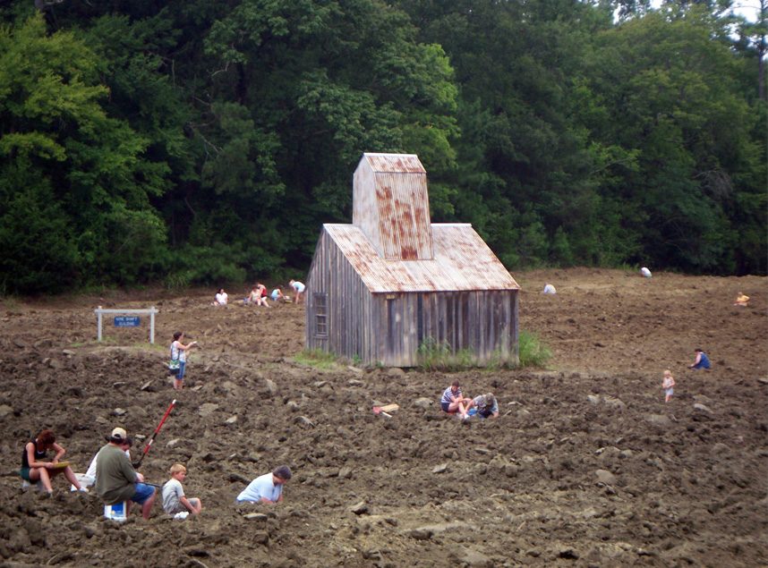 46 mi State parkCrater of Diamonds State Park
 68 mi National ParkHot Springs National Park2.5M visitors a year
 57 mi MountainMount Magazine
 59 mi Ancient siteSpiro Mounds
 69 mi National Historic SitePresident William Jefferson Clinton Birthplace Home National Historic Site7K visitors a year
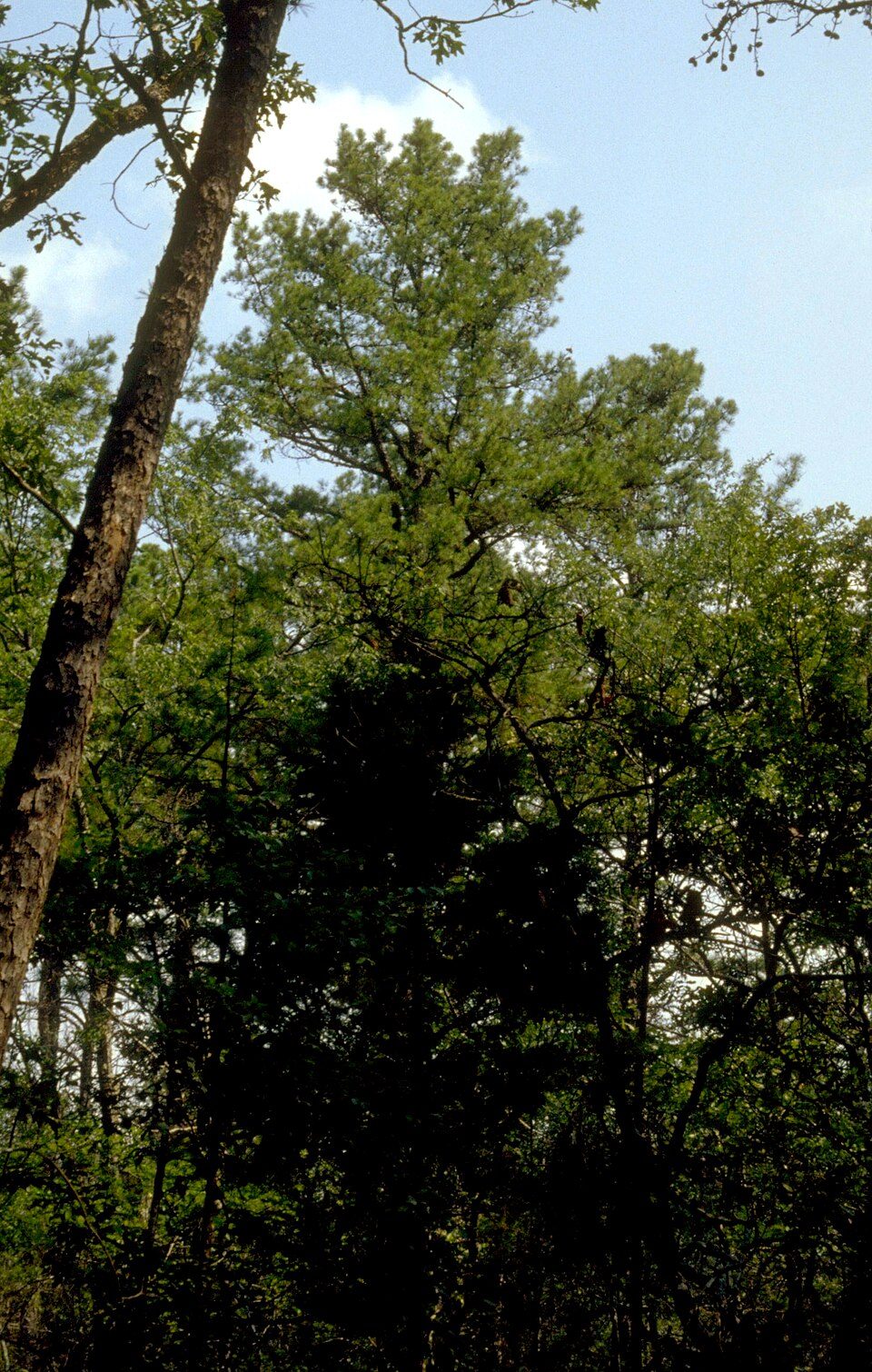 55 mi National forestOzark–St. Francis National Forest
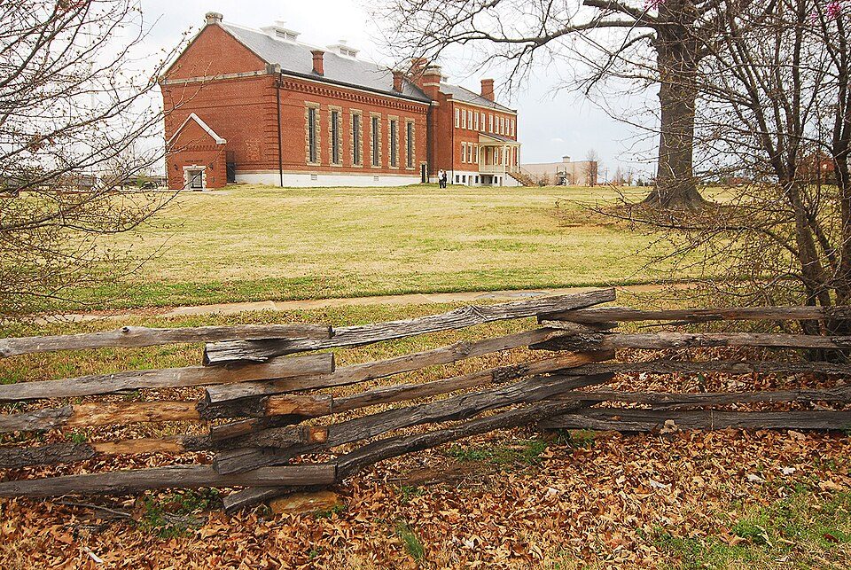 59 mi National Historic SiteFort Smith National Historic Site107K visitors a year
 69 mi GardenGarvan Woodland Gardens
Photo credits
Crater of Diamonds State Park: Doug Wertman from Rogers, AR, USA, CC BY 2.0 · Hot Springs National Park: Unknown, Public domain · Mount Magazine: Fredlyfish4, CC BY-SA 3.0 · Spiro Mounds: Herb Roe Original uploader was Heironymous Rowe at en.wikipedia, CC BY-SA 3.0 · President William Jefferson Clinton Birthplace Home National Historic Site: Michael Barera, CC BY-SA 4.0 · Ozark–St. Francis National Forest: Paul A. Mistretta, USDA Forest Service, CC BY 3.0 us · Fort Smith National Historic Site: Photolitherland (talk) Chris Litherland, CC BY-SA 3.0 · Garvan Woodland Gardens: Nngowen, CC BY-SA 4.0


Know before you visit Ouachita National Forest
What town is Ouachita National Forest near?
Mena, AR, about 6 miles north.
When is the best time to visit Ouachita National Forest?
April, May, September and October, with highs of 71–84°.
What is the closest airport to Ouachita National Forest?
Fort Smith Regional (FSM), about 58 miles away. The nearest big hub is Tulsa (TUL), about 149 miles.
Where should I stay near Ouachita National Forest?
Mena (6 mi, 19 places to stay), Board Camp (10 mi, 10 places to stay) and Hochatown (38 mi, 173 places to stay).
Tips from Mena
People in Mena have not posted tips yet; their Town Square is open.
Sources: National Park Service · ski areas © OpenSkiMap / OpenStreetMap contributors · Wikidata · Wikipedia readership · NOAA climate normals · U.S. Census.