195 years in pictures
Census counts: 549 in 1850, 23,218 in 2020. The archive holds 12 old photos and papers going back to 1836 and 6 maps from 1887 on.
18 places on the National Register of Historic Places.
- 1831Van Buren is settled
Each edition grades its towns against each other only.

Van Buren gives you more for your money than most places: a typical home costs about $210K, 3.6 years of the Fort Smith metro’s $58K median household income. It grades C overall, 62nd of 123 graded towns in Arkansas. The low prices come with trade-offs. Residents are less healthy than 84% of U.S. towns on CDC estimates, and it reports more crime per resident than 81% of U.S. towns, including 51 violent crimes reported to the FBI in 2025. Its National Register listings include Drennen-Scott House and Bob Burns House. Only 12 of Arkansas’ 201 towns score higher on the outdoors. Van Buren’s July high is 93°F, against 92°F in Arkansas’ towns and 85°F across U.S. towns.
Where Van Buren beats most towns.
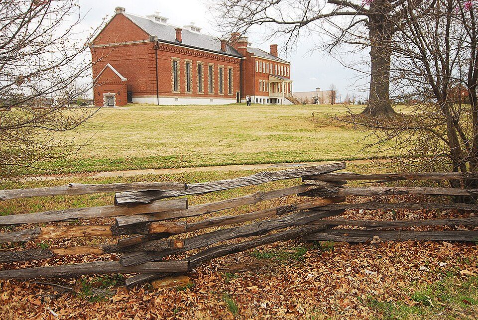
Drennen-Scott House| School | Grades | Students |
|---|---|---|
| Central Elementary School | K–5 | 466 |
| Oliver Springs Elementary School | K–5 | 441 |
| King Elementary School | PK–5 | 437 |
Census counts: 549 in 1850, 23,218 in 2020. The archive holds 12 old photos and papers going back to 1836 and 6 maps from 1887 on.
18 places on the National Register of Historic Places.
Each subject compared with towns across the country (schools within Arkansas), ordered by how far Van Buren is from typical.
How TownRatings grades towns →
Who provides power, water and the rest in Van Buren, and how to reach them.
EPA SDWIS (Oct 9, 2026) · HIFLD + EIA-861 2025 · Census 2020 ZCTAs · NCES 2024–25 · registration: vote.gov, updated Nov 18, 2024.
Ordered by what stands out in Van Buren.
Van Buren has hotter summers than almost anywhere else in Arkansas, looks healthier within Arkansas than nationally and has seen reported crime fall by a fifth or more.
Within Arkansas it is less healthy than 52% of the 123 graded towns: much of Arkansas scores lower on these measures.
17% of Van Buren adults report frequent physical distress. Van Buren beats the Arkansas average on 0 of 32 CDC measures and trails it on 1. 20% of Van Buren adults report frequent mental distress.
| Van Buren | Arkansas towns | U.S. towns | |
|---|---|---|---|
| Frequent physical distress (CDC PLACES) | 17% | 16% | 14% |
| Frequent mental distress (CDC PLACES) | 20% | 19% | 17% |
| Fair or poor health (CDC PLACES) | 26% | 25% | 19% |
| No health insurance, 18–64 (CDC PLACES) | 13% | 11% | 8.1% |
| What stands out | Van Buren | AR |
|---|---|---|
| More uninsured adults | 13.2% | 11.3% |
CDC PLACES 2025 · modeled estimates for adults · CMS · HRSA
Its public schools are run by the Van Buren School District. Three of its 11 schools are below, each with why it’s listed.
| School | Level | Students | Letter |
|---|---|---|---|
| Northridge Middle SchoolLargest public middle schoolGrades 6–8 | Grades 6–8 | 713 | A |
| Van Buren High SchoolLargest public high schoolGrades 10–12 | Grades 10–12 | 1,232 | B− |
| Parkview Elementary SchoolTop results in townGrades K–5 | Grades K–5 | 437 | A |
NCES · EDFacts · graded within AR on state tests and graduation
Reported crimes fell from 762 to 560 over the last three FBI years, a drop beyond ordinary year-to-year swings.
The property crime rate in Van Buren is 20.6 per 1,000 residents. Van Buren reports more crime per resident than most U.S. towns we grade: about 81% report less. The violent crime rate in Van Buren is 2.1 per 1,000 residents.
| Van Buren | Arkansas towns | U.S. towns | |
|---|---|---|---|
| Property crimes per 1,000 (2025) | 20.6 per 1,000 residents | 13.5 | 9.9 |
| Violent crimes per 1,000 (2025) | 2.1 per 1,000 residents | 3.7 | 1.6 |
FBI crime data, 2025 · crimes reported to police
4.9 miles of trail in 9 parks and preserves. Among 111 Arkansas towns, just 5 have a higher share of conserved land than Van Buren. The biggest park or preserve is Lee Creek Public Use Area, at 120 acres.
| Van Buren | Arkansas towns | U.S. towns | |
|---|---|---|---|
| Conserved land | 6.4% | 0.8% | 4.3% |
| Miles of trail per square mile | 0.3 miles per square mile | 0.3 | 0.4 |
| Biggest places to walk | Trails | Acres |
|---|---|---|
| 1. Van Buren Municipal Park | 0.8 mi | 62 |
| 2. Lee Creek Public Use Area | — | 120 |
| 3. Field of Dreams Sports Complex | — | 50 |
Trails & parks © OpenStreetMap contributors · Conserved land: USGS PAD-US
July afternoons average 93.4°, the highest of 626 Arkansas places with climate records; January nights average 28.7°.
Van Buren has mild winters and hot summers, with plenty of rain. About 3 inches of snow falls in a winter. Van Buren’s January low is 29°F.
NOAA U.S. Climate Normals, 1991–2020
About one in 4 of Van Buren’s working residents works in town. 3.3% of workers work from home in Van Buren. Since 2013, Van Buren has lost 1,277 jobs, to 12,291 in 2023.
| Van Buren | Arkansas towns | U.S. towns | |
|---|---|---|---|
| Work from home | 3.3% | 6.3% | 11% |
| Working residents who work in town | 23% | 21% | 8% |
| Average trip to work | 20 minutes | 21 minutes | 25 minutes |
| Below the poverty line | 15% | 18% | 9.6% |
Census LEHD 2023 · ACS
Expected storm and flood damage is higher than in 60% of U.S. communities. Since 1993, 33 flood insurance claims have been paid out in Van Buren.
FEMA flood insurance claims · FEMA National Risk Index · OpenFEMA
Van Buren has grown 5.8% since 2020, to 24,556 residents in the Census Bureau’s 2025 estimate. 21% of adults 25 and older have a bachelor’s degree or more, vs 26% across Arkansas.
| Van Buren | Arkansas towns | U.S. towns | |
|---|---|---|---|
| Median age | 36.5 years | 36.6 years | 40.5 years |
| Under 18 | 24% | 25% | 22% |
| Bachelor’s degree or more, 25+ | 21% | 20% | 29% |
52% women, 48% men
About 92 men for every 100 women (the survey’s margin: ±1.6 points). Across Arkansas, 50.6% of residents are women. Median age: women 36.8, men 35.9.
| Van Buren | AR | U.S. | |
|---|---|---|---|
| Under 10 | 13.9% | 12.3% | 11.6% |
| 10 to 17 | 10.4% | 10.8% | 10.3% |
| 18 to 24 | 7.7% | 9.4% | 9.1% |
| 25 to 34 | 16% | 13% | 13.7% |
| 35 to 44 | 12.6% | 12.7% | 13.2% |
| 45 to 54 | 10.7% | 11.8% | 12.2% |
| 55 to 64 | 11.3% | 12.5% | 12.7% |
| 65 to 74 | 9.8% | 10.3% | 10.2% |
| 75 and older | 7.6% | 7.2% | 7% |
| No diploma | 12.5% | 11.3% | 10.4% |
| High school | 36.5% | 34.1% | 26% |
| Some college | 22.9% | 20.7% | 19.1% |
| Associate’s | 7.2% | 8.2% | 8.8% |
| Bachelor’s | 15.2% | 16.3% | 21.6% |
| Graduate | 5.6% | 9.5% | 14.1% |
Census population estimates, 2025 · U.S. Census Bureau · ACS 2020-2024 5-year estimates
Typical home values rose 5.4% in the year to September 2026.
| Van Buren | Arkansas towns | U.S. towns | |
|---|---|---|---|
| Median rent | $847 a month | $880 a month | $1,185 a month |
| Households that own their home | 66% | 60% | 73% |
Zillow Home Value Index · Redfin Data Center
Museums, parks, gardens and other places to visit around Van Buren. Close and well known come first.
16 mi Ancient siteSpiro Mounds
6 mi National Historic SiteFort Smith National Historic Site107K visitors a year
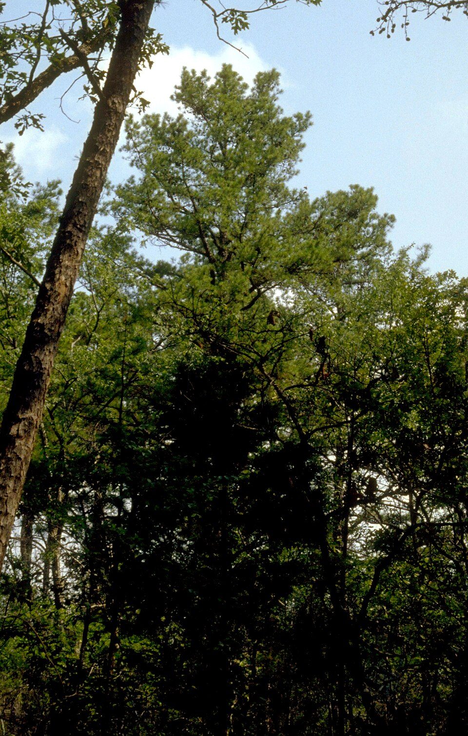
14 mi National forestOzark–St. Francis National Forest
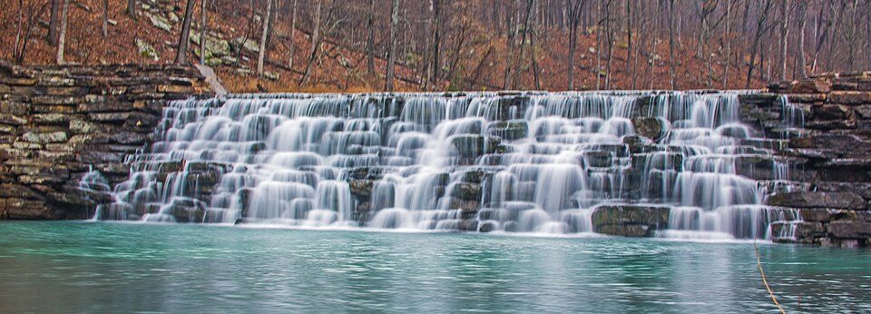
24 mi State parkDevil's Den State Park
6 mi MuseumFort Smith Trolley Museum
6 mi MuseumW.H.H. Clayton HouseSpiro Mounds: Herb Roe Original uploader was Heironymous Rowe at en.wikipedia, CC BY-SA 3.0 · Fort Smith National Historic Site: Photolitherland (talk) Chris Litherland, CC BY-SA 3.0 · Ozark–St. Francis National Forest: Paul A. Mistretta, USDA Forest Service, CC BY 3.0 us · Devil's Den State Park: jaystout, CC BY 2.0 · Fort Smith Trolley Museum: Steve Morgan, CC BY-SA 3.0 · W.H.H. Clayton House: Hakbak, CC BY-SA 3.0
2 within 15 miles of the center of Van Buren
About 4 of every 100 Van Buren residents are enrolled in college, about the same as Arkansas.
6.4% of the town is conserved land, across 9 parks and preserves.
18 places in Van Buren on the National Register of Historic Places.
6 notable people were born in Van Buren.


City in Arkansas, United States
Van Buren ( van BURE-ən) is the second-largest city in the Fort Smith, Arkansas–Oklahoma Metropolitan Statistical Area and the county seat of Crawford County, Arkansas, United States. The city is located directly northeast of Fort Smith at the Interstate 40 – Interstate 540 junction. The city was incorporated in 1845 and as of the 2020 census had a population of 23,218, ranking it as the state's 21st largest city. According to 2023 population estimates from the U.S. Census Bureau, Van Buren’s population is 24,138. With a 4% growth rate from 2020 to 2023, Van Buren is Arkansas’s eighth-fastest growing city.
From Wikipedia, licensed CC BY-SA 4.0 · facts via Wikidata (CC0)
One town shares a border with Van Buren.
| Town | AR rank | Overall | Cost | Safety | Schools | Health |
|---|---|---|---|---|---|---|
| Van Buren | #62 | C | B+ | C− | B+ | C− |
| Fort Smith | #78 | D | B | D− | B+ | D |
Short answers, built from the data on this page.
Van Buren grades C overall, better than 26% of U.S. towns and #62 of 123 in Arkansas. It grades C− for health, C− for safety and B+ for schools. Health is its weak spot, with a C−.
Within Arkansas, it does better than 48% of towns.
Not for the area. Cost of living, which also weighs rents, property taxes and how many households pay 30% or more of their income for housing, grades B+.
6 notable people were born here, including Donald Aubrey Quarles and John T. Deweese.