
Spiro Mounds
Spiro Mounds (34 LF 40) is an Indigenous archaeological site located in present-day eastern Oklahoma.

An ancient site inside Fort Coffee
Summers are hot
July and August highs run 93–93°, and about 78 days a year reach 90°. When to go ↓
Fort Smith is the nearest base
Fort Smith is 11 miles east, with 57 places to stay. Where to stay ↓
Best months: Mar, Apr, May and Oct
March, April, May and October are the mild months, with highs of 65–80°. When to go ↓
An airport 11 miles away
Fort Smith Regional (FSM) has airline service, about 11 miles from Spiro Mounds.
Written from NOAA 1991–2020 normals, Overture places to stay, Census town figures, Wikidata and Wikipedia.
Weather, month by month
Typical highs and lows in Fort Coffee. Green months are the mild ones.
Spiro Mounds
Spiro Mounds (34 LF 40) is an Indigenous archaeological site located in present-day eastern Oklahoma. The site was built by people from the Arkansas Valley Caddoan culture that was part of the Mississippian culture. The 150-acre site is located within a floodplain on the southern side of the Arkansas River. The modern town of Spiro developed approximately seven miles to the south.
- Type
- Ancient site
- Listed
- National Register of Historic Places (1969)
- Wikipedia readers
- 25K a year
Where to stay near Spiro Mounds
The closest towns with hotels, motels or campgrounds are Fort Smith (57) and Van Buren (15).
Compare 8 towns
| Town | From Spiro Mounds | Drive | Places to stay | People | Typical home | Safety |
|---|---|---|---|---|---|---|
| Fort Coffee | in town | — | — | 348 | $84K | — |
| Fort Smith | 11 mi east | 15 min | 57 36 hotels · 11 motels · 1 inn or B&B · 5 lodges & cabins · 3 campgrounds · 1 RV park | 90,855 | $178K | D− |
| Van Buren | 16 mi northeast | 25 min | 15 12 hotels · 1 motel · 1 campground · 1 RV park | 24,556 | $182K | C− |
| Sallisaw | 17 mi northwest | 25 min | 13 6 hotels · 5 motels · 1 campground · 1 RV park | 8,790 | $134K | D |
| Roland | 8 mi northeast | 10 min | 4 2 hotels · 1 inn or B&B · 1 RV park | 4,146 | $140K | C+ |
| Poteau | 17 mi south | 25 min | 12 7 hotels · 2 motels · 1 lodge or cabins · 2 RV parks | 9,171 | $157K | D |
| Spiro | 6 mi southwest | 10 min | 2 1 motel · 1 RV park | 2,230 | $101K | B− |
| Muldrow | 7 mi north | 10 min | 1 1 motel | 3,375 | $114K | D |
Getting there
Nearest airports with airline service
Also near Spiro Mounds
Other well-known places within 59 miles. Numbered ones are on the map above.
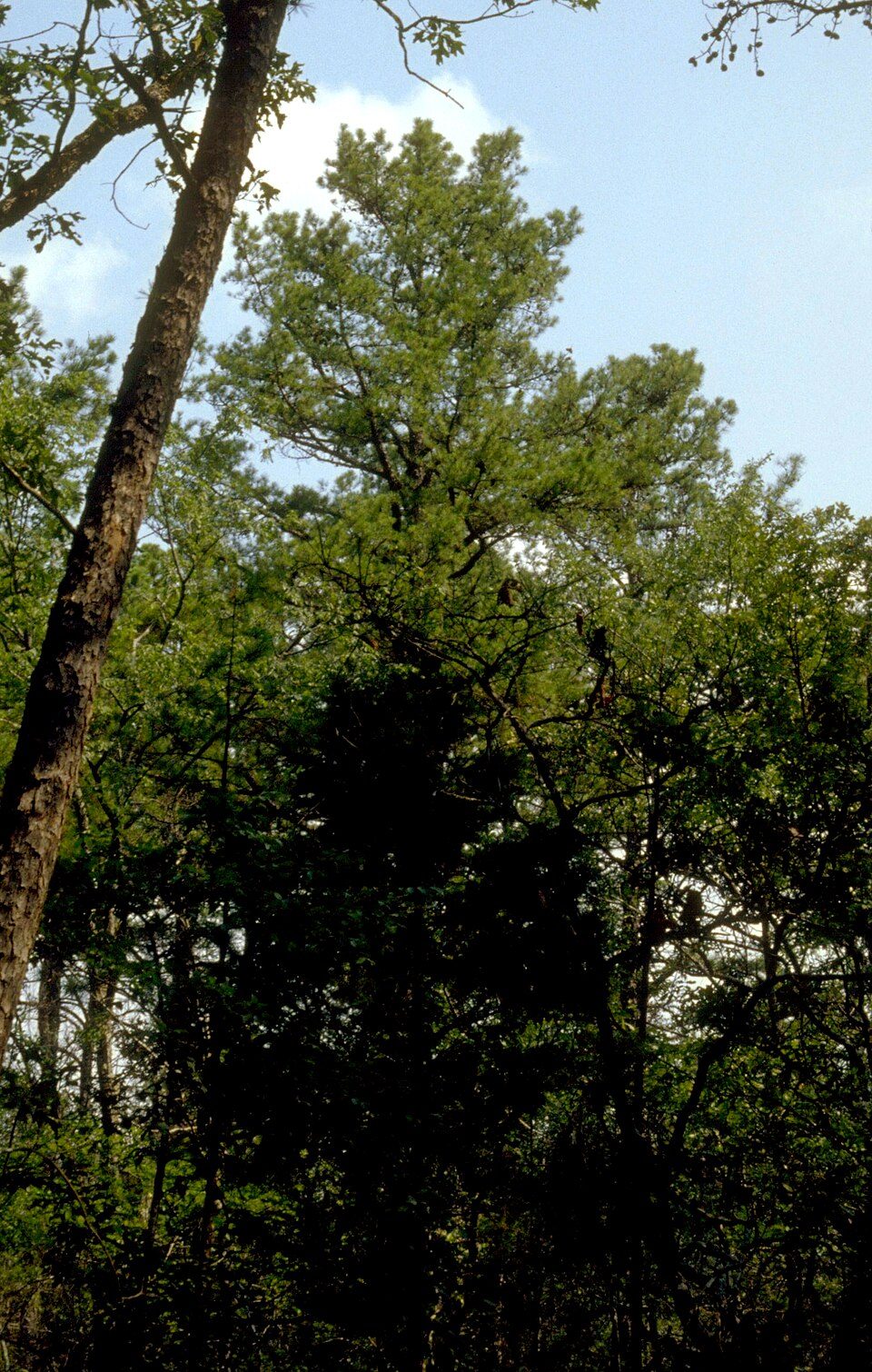 16 mi National forestOzark–St. Francis National Forest
 53 mi MountainMount Magazine
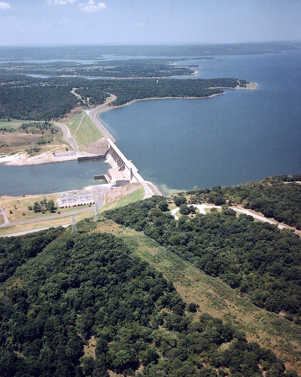 54 mi LakeEufaula Lake
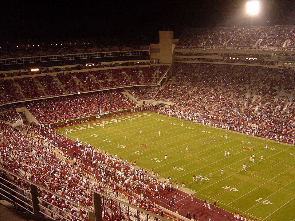 57 mi Stadium & arenaDonald W. Reynolds Razorback Stadium
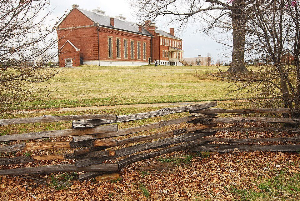 29 mi National Historic SiteFort Smith National Historic Site107K visitors a year
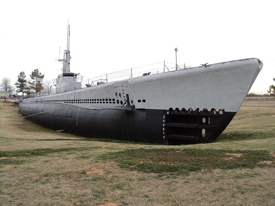 53 mi MuseumUSS Batfish
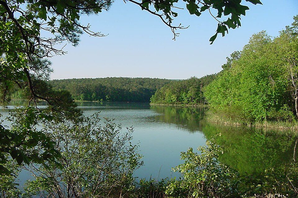 59 mi National forestOuachita National Forest
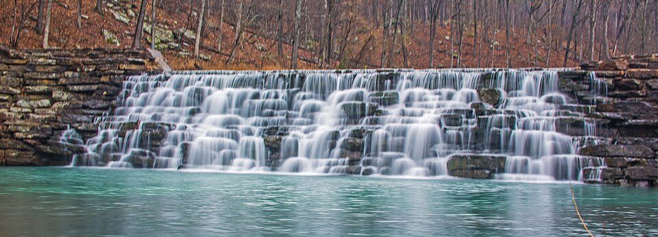 37 mi State parkDevil's Den State Park
Photo credits
Ozark–St. Francis National Forest: Paul A. Mistretta, USDA Forest Service, CC BY 3.0 us · Mount Magazine: Fredlyfish4, CC BY-SA 3.0 · Eufaula Lake: U.S. Army Corps of Engineers, photographer not specified or unknown, Public domain · Donald W. Reynolds Razorback Stadium: Bobak at en.wikipedia, CC BY-SA 2.5 · Fort Smith National Historic Site: Photolitherland (talk) Chris Litherland, CC BY-SA 3.0 · USS Batfish: Blackwing.1, CC BY-SA 3.0 · Ouachita National Forest: U.S. Forest Service, Public domain · Devil's Den State Park: jaystout, CC BY 2.0


Visiting Spiro Mounds
Is Spiro Mounds in Fort Coffee?
Yes. It’s inside Fort Coffee, OK.
When is the best time to visit Spiro Mounds?
March, April, May and October, with highs of 65–80°.
How far is Spiro Mounds from Tulsa?
About 94 miles northwest of Tulsa, as the crow flies.
What is the closest airport to Spiro Mounds?
Fort Smith Regional (FSM), about 11 miles away. The nearest big hub is Tulsa (TUL), about 96 miles.
Where should I stay near Spiro Mounds?
Fort Smith (11 mi, 57 places to stay), Van Buren (16 mi, 15 places to stay) and Sallisaw (17 mi, 13 places to stay).
Tips from people in Fort Coffee
No tips yet. Ask, or answer, in Fort Coffee’s Town Square.
Sources: National Park Service · ski areas © OpenSkiMap / OpenStreetMap contributors · Wikidata · Wikipedia readership · NOAA climate normals · U.S. Census.