
Mount Magazine
Mount Magazine, officially named Magazine Mountain, is the highest point of the U.S. Interior Highlands and the U.S. state of Arkansas, and is the site of Mount Magazine State Park. This one stands 9 mi south of Subiaco. Expect 73–80°F afternoons in the mildest months, April, May and October.

A mountain, 9 mi south of Subiaco
Plan where you’ll sleep
The nearest town with many places to stay is Booneville, 16 miles west. Where to stay ↓
Summers are hot
July and August highs run 92–93°, and about 62 days a year reach 90°. When to go ↓
Best months: Apr, May and Oct
April, May and October are the mild months, with highs of 73–80°. When to go ↓
Written from NOAA 1991–2020 normals, Overture places to stay, Census town figures, Wikidata and Wikipedia.
Weather, month by month
Each month’s highs and lows around Mount Magazine are below.
Mount Magazine
Mount Magazine, officially named Magazine Mountain, is the highest point of the U.S. Interior Highlands and the U.S. state of Arkansas, and is the site of Mount Magazine State Park. It is a flat-topped mountain or mesa capped by hard rock and rimmed by precipitous cliffs. There are two summits atop the mountain: Signal Hill, which reaches 2,753 ft (839 m) and Mossback Ridge, which reaches 2,700 ft (823 m).
- Type
- Mountain
- Elevation
- 2,753 ft
- Wikipedia readers
- 27K a year
Overnight near Mount Magazine
Hotels, motels or campgrounds are closest in Paris (3) and Booneville (5).
Paris
The closest town with somewhere to stay.
3,357 people
10 mi northwest of Mount Magazine
Compare 8 towns
| Town | From Mount Magazine | Drive | Places to stay | People | Typical home | Safety |
|---|---|---|---|---|---|---|
| Paris | 10 mi northwest | 15 min | 3 1 hotel · 1 lodge or cabins · 1 campground | 3,357 | $123K | D |
| Booneville | 16 mi west | 25 min | 5 2 motels · 1 inn or B&B · 1 lodge or cabins · 1 campground | 3,836 | $112K | C− |
| Clarksville | 22 mi northeast | 35 min | 10 8 hotels · 1 campground · 1 RV park | 9,632 | $165K | C− |
| Russellville | 30 mi east | 45 min | 23 15 hotels · 3 motels · 1 lodge or cabins · 3 campgrounds · 1 RV park | 29,521 | $172K | C− |
| Ozark | 26 mi northwest | 40 min | 9 2 hotels · 4 motels · 1 campground · 2 RV parks | 3,628 | $124K | C− |
| Subiaco | 9 mi north | 15 min | 1 1 campground | 403 | $169K | — |
| New Blaine | 15 mi northeast | 25 min | 2 1 hotel · 1 campground | 533 | — | — |
| Belleville | 12 mi southeast | 20 min | 1 1 campground | 309 | $105K | — |
Getting there
Nearest airports with airline service
Worth adding to a visit
You can reach each of these within 70 miles.
 56 mi National ParkHot Springs National Park2.5M visitors a year
 53 mi Ancient siteSpiro Mounds
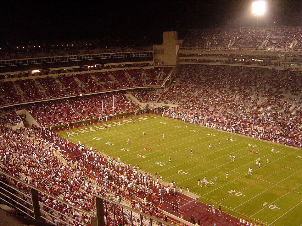 69 mi Stadium & arenaDonald W. Reynolds Razorback Stadium
 40 mi State parkPetit Jean State Park
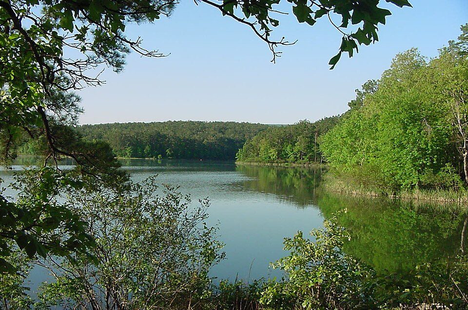 57 mi National forestOuachita National Forest57 mi Theme parkMagic Springs and Crystal Falls
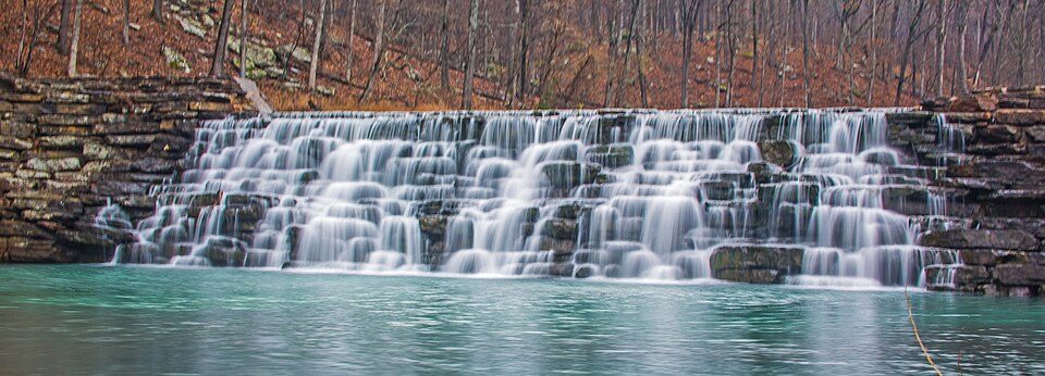 54 mi State parkDevil's Den State Park
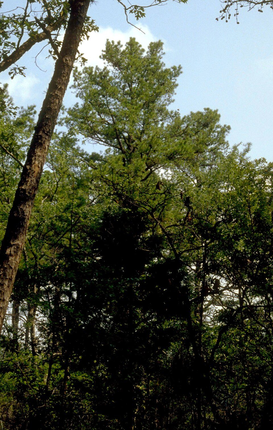 47 mi National forestOzark–St. Francis National Forest
Photo credits
Hot Springs National Park: Unknown, Public domain · Spiro Mounds: Herb Roe Original uploader was Heironymous Rowe at en.wikipedia, CC BY-SA 3.0 · Donald W. Reynolds Razorback Stadium: Bobak at en.wikipedia, CC BY-SA 2.5 · Petit Jean State Park: ErgoSum88, Public domain · Ouachita National Forest: U.S. Forest Service, Public domain · Devil's Den State Park: jaystout, CC BY 2.0 · Ozark–St. Francis National Forest: Paul A. Mistretta, USDA Forest Service, CC BY 3.0 us


What people ask about Mount Magazine
What town is Mount Magazine near?
Subiaco, AR, about 9 miles north.
When is the best time to visit Mount Magazine?
April, May and October, with highs of 73–80°.
What is the closest airport to Mount Magazine?
Fort Smith Regional (FSM), about 42 miles away. The nearest big hub is Tulsa (TUL), about 145 miles.
Where should I stay near Mount Magazine?
Paris (10 mi, 3 places to stay), Booneville (16 mi, 5 places to stay) and Clarksville (22 mi, 10 places to stay).
Tips for visiting, from Subiaco
Be the first to share a tip in Subiaco’s Town Square.
Sources: National Park Service · ski areas © OpenSkiMap / OpenStreetMap contributors · Wikidata · Wikipedia readership · NOAA climate normals · U.S. Census.