
Niland Geyser
Niland Geyser (nicknamed the "Slow One" and formally designated W9) is a moving mudpot or mud spring outside Niland, California in the Salton Trough in an area of geological instability due to the San Andreas Fault, formed due to carbon dioxide being released underground. Its setting is 5 mi northwest of Niland. It dates back to 1953.

A mountain, 5 mi northwest of Niland
Summers are hot
July and August highs run 108–109°, and about 181 days a year reach 90°. When to go ↓
Plan where you’ll sleep
The nearest town with many places to stay is Brawley, 21 miles south. Where to stay ↓
A day trip from San Diego
San Diego is about 95 miles west (straight-line). Where to stay ↓
Best months: Jan, Feb, Mar, Nov and Dec
January, February, March, November and December are the mild months, with highs of 69–82°. When to go ↓
Established in 1953
Niland Geyser dates from 1953. About ↓
Written from NOAA 1991–2020 normals, Overture places to stay, Census town figures, Wikidata and Wikipedia.
Weather through the year
Here are the months at Niland Geyser, with their weather.
Niland Geyser
Niland Geyser (nicknamed the "Slow One" and formally designated W9) is a moving mudpot or mud spring outside Niland, California in the Salton Trough in an area of geological instability due to the San Andreas Fault, formed due to carbon dioxide being released underground. It is the only mudpot or mud volcano known to have moved so significantly. The geyser has required costly engineering works since 2018 as it has impinged on the Union Pacific Railroad, California State Route 111, and other infrastructure.
- Type
- Mountain
- Established
- 1953
- Wikipedia readers
- 32K a year
Where to base yourself for Niland Geyser
The closest towns with hotels, motels or campgrounds are Niland (3) and Brawley (12).
Niland
The closest town with somewhere to stay.
1,116 people
5 mi southeast of Niland Geyser
Compare 7 towns
| Town | From Niland Geyser | Drive | Places to stay | People | Typical home |
|---|---|---|---|---|---|
| Niland | 5 mi southeast | 5 min | 3 1 hotel · 2 RV parks | 1,116 | $226K |
| Brawley | 21 mi south | 30 min | 12 6 hotels · 2 motels · 1 inn or B&B · 2 lodges & cabins · 1 RV park | 28,008 | $291K |
| Calipatria | 10 mi southeast | 15 min | 2 1 inn or B&B · 1 campground | 6,012 | $197K |
| Salton City | 22 mi west | 35 min | 3 1 hotel · 1 motel · 1 RV park | 5,988 | $201K |
| Westmorland | 17 mi south | 25 min | 1 1 hotel | 2,015 | $310K |
| North Shore | 25 mi northwest | 40 min | 1 1 campground | 3,515 | $204K |
| Desert Shores | 28 mi west | 40 min | 1 1 motel | 801 | $179K |
Getting there
Nearest airports with airline service
What else is near Niland Geyser
These well-known sights sit within 70 miles.
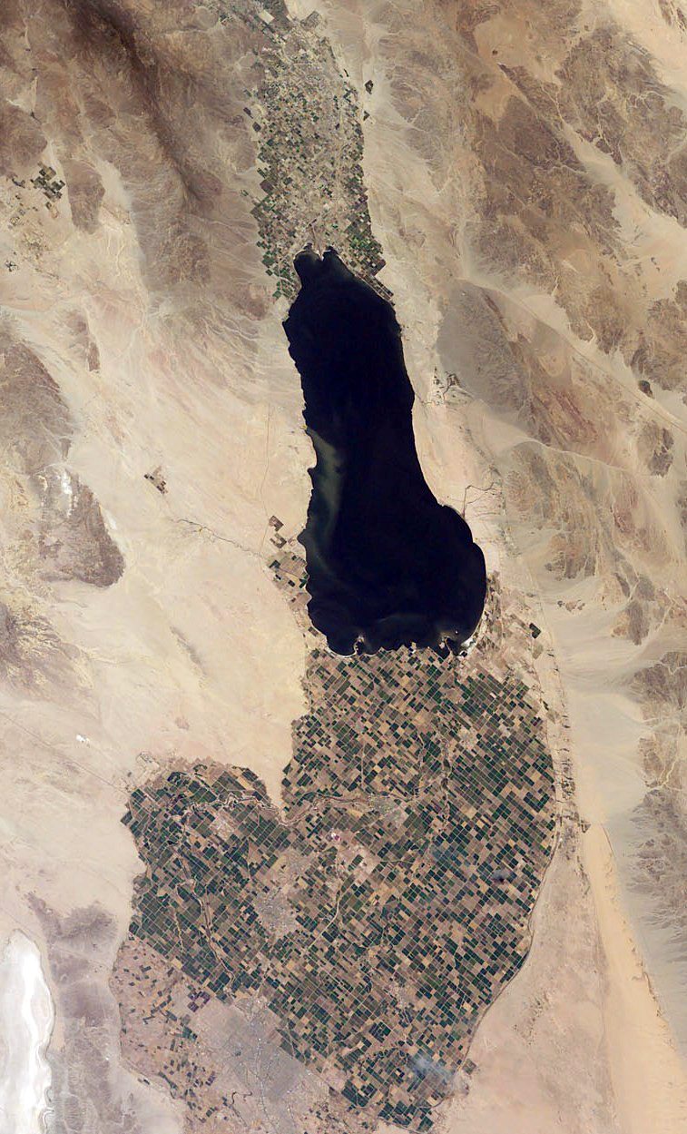 Big draw116 mi LakeSalton Sea
 Big draw35 mi National ParkJoshua Tree National Park2.9M visitors a year
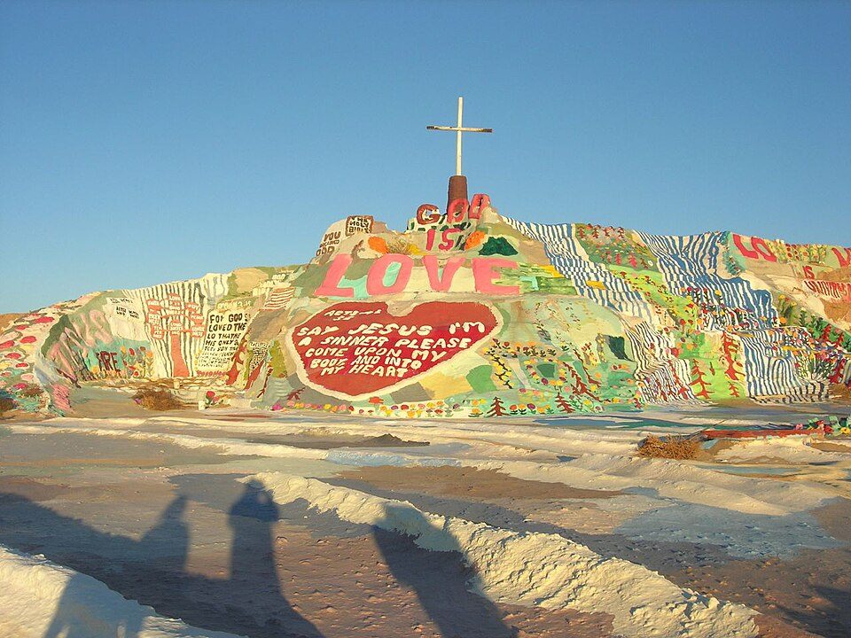 26 mi LandmarkSalvation Mountain
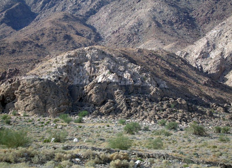 313 mi LakeLake Cahuilla
 56 mi Stadium & arenaAcrisure Arena
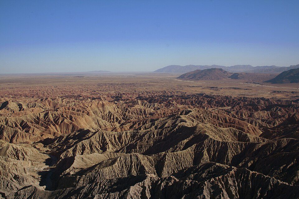 48 mi State parkAnza-Borrego Desert State Park
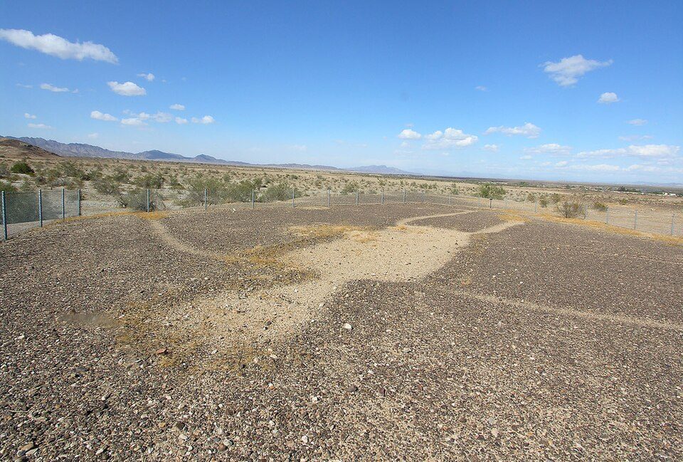 70 mi Ancient siteBlythe Intaglios
 68 mi MuseumYuma Territorial Prison
Photo credits
Salton Sea: NASA, Public domain · Joshua Tree National Park: Sergiy Galyonkin, CC BY-SA 4.0 · Salvation Mountain: Joe Decruyenaere, CC BY-SA 2.0 · Lake Cahuilla: Unknown, CC BY-SA 2.5 · Acrisure Arena: TheAHL, CC BY 2.0 · Anza-Borrego Desert State Park: No machine-readable author provided. Miskatonic assumed (based on copyright clai, CC BY 2.5 · Blythe Intaglios: Ron's Log, CC BY-SA 3.0 · Yuma Territorial Prison: Pretzelpaws at English Wikipedia, CC BY-SA 3.0


Questions about Niland Geyser
What town is Niland Geyser near?
Niland, CA, about 5 miles southeast.
When is the best time to visit Niland Geyser?
January, February, March, November and December, with highs of 69–82°.
How far is Niland Geyser from San Diego?
About 95 miles west of San Diego, as the crow flies.
What is the closest airport to Niland Geyser?
Imperial County (IPL), about 31 miles away. The nearest big hub is Palm Springs (PSP), about 65 miles.
Where should I stay near Niland Geyser?
Niland (5 mi, 3 places to stay), Brawley (21 mi, 12 places to stay) and Salton City (22 mi, 3 places to stay).
Inside knowledge from Niland
Questions and tips go in Niland’s Town Square.
Sources: National Park Service · ski areas © OpenSkiMap / OpenStreetMap contributors · Wikidata · Wikipedia readership · NOAA climate normals · U.S. Census.