
Joshua Tree National Park
Joshua Tree National Park is a US national park located in southeastern California, straddling north-central Riverside County and part of southern San Bernardino County. It is 19 mi east of Coachella. Running it is the National Park Service. 2.9M visitors came in 2025.

A national park, 19 mi east of Coachella
Summers are hot
July and August highs run 107–107°, and about 187 days a year reach 90°. When to go ↓
Plan where you’ll sleep
The nearest town with many places to stay is Indio, 24 miles west. Where to stay ↓
One of the most looked-up attractions in the U.S.
About 187K people a year read its Wikipedia article, more than for 98% of the 7,770 attractions we track.
March is the busiest month
March averages about 419,869 visitors, 3.0 times July. When to go ↓
Joshua Tree is inside the park
Joshua Tree sits inside the park’s boundary. Where to stay ↓
Written from National Park Service visitor counts, NOAA 1991–2020 normals, Overture places to stay, Census town figures, Wikidata and Wikipedia. Updated when the Park Service posts a new month.
Crowds and weather by month
Below are monthly visits and typical highs at Joshua Tree.
Joshua Tree National Park
Joshua Tree National Park is a US national park located in southeastern California, straddling north-central Riverside County and part of southern San Bernardino County. Named after the endemic Joshua tree (Yucca brevifolia), found in the park and surrounding areas, Joshua Tree is situated some 130 miles (211 km) east of the city of Los Angeles and roughly 78 mi (125 km) east of the city of San Bernardino. Among some of the closest cities to the park are Indio, Palm Desert, and Palm Springs. Originally declared a national monument in 1936, Joshua Tree was redesignated as a national park in 1994 when the U.S. Congress passed the California Desert Protection Act.
- Type
- National Park
- Established
- 1994
- Area
- 1,234 square miles
- Run by
- National Park Service
- Listed
- International Dark Sky Park (2017)
- Wikipedia readers
- 187K a year
- Official site
- nps.gov/jotr
Opening times and entry
- Private Vehicle$30
- Motorcycle$25
- Per Person$15
Where to base yourself for Joshua Tree National Park
You can sleep inside the park (9 places). To stay close, try Indio (42) and Palm Springs (198).
- 1Salton Sea
- 2Acrisure Arena
- 3Salvation Mountain
- 4Niland Geyser
- 5Lake Cahuilla
- 6Anza-Borrego Desert
- 7San Jacinto Peak
Stay in the park
- Hidden Valley Campground campground
- Jumbo Rocks Campground campground
- Hidden Valley campground
- Cottonwood Campground campground
- Black Rock Canyon Campground campground
- White Tank Campground campground
Indio
The closest town with somewhere to stay.
94,269 people
24 mi west of Cottonwood Visitor Center · 9 mi to the park
Palm Springs
45,315 people · 27% vacation homes
41 mi west of Cottonwood Visitor Center · 12 mi to the park
Palm Desert
53,259 people · 27% vacation homes
31 mi west of Cottonwood Visitor Center · 12 mi to the park
Compare 8 towns
| Town | From the visitor center | Drive | Places to stay | People | Typical home | Safety |
|---|---|---|---|---|---|---|
| Indio | 24 mi west | 35 min | 42 20 hotels · 12 motels · 1 lodge or cabins · 9 RV parks | 94,269 | $458K | C+ |
| Palm Springs 27% vacation homes | 41 mi west | 1 hr | 198 178 hotels · 6 motels · 6 inns & B&Bs · 6 lodges & cabins · 2 RV parks | 45,315 | $604K | D |
| Palm Desert 27% vacation homes | 31 mi west | 45 min | 38 35 hotels · 2 inns & B&Bs · 1 campground | 53,259 | $542K | C− |
| La Quinta 28% vacation homes | 27 mi west | 40 min | 18 17 hotels · 1 inn or B&B | 39,440 | $662K | C |
| Twentynine Palms | 31 mi northwest | 45 min | 25 8 hotels · 7 motels · 4 inns & B&Bs · 3 lodges & cabins · 2 campgrounds · 1 RV park | 25,939 | $268K | — |
| Coachella | 19 mi west | 30 min | 4 1 hotel · 1 campground · 2 RV parks | 45,411 | $368K | C |
| Cathedral City | 37 mi west | 1 hr | 21 13 hotels · 1 motel · 1 lodge or cabins · 1 campground · 5 RV parks | 52,375 | $453K | C+ |
| Indian Wells 44% vacation homes | 29 mi west | 45 min | 9 9 hotels | 4,992 | $1,078K | C+ |
Day trip from
Straight-line miles.
Getting there
Nearest airports with airline service, from the visitor center
Also near Joshua Tree
Every place here is under 63 miles away.
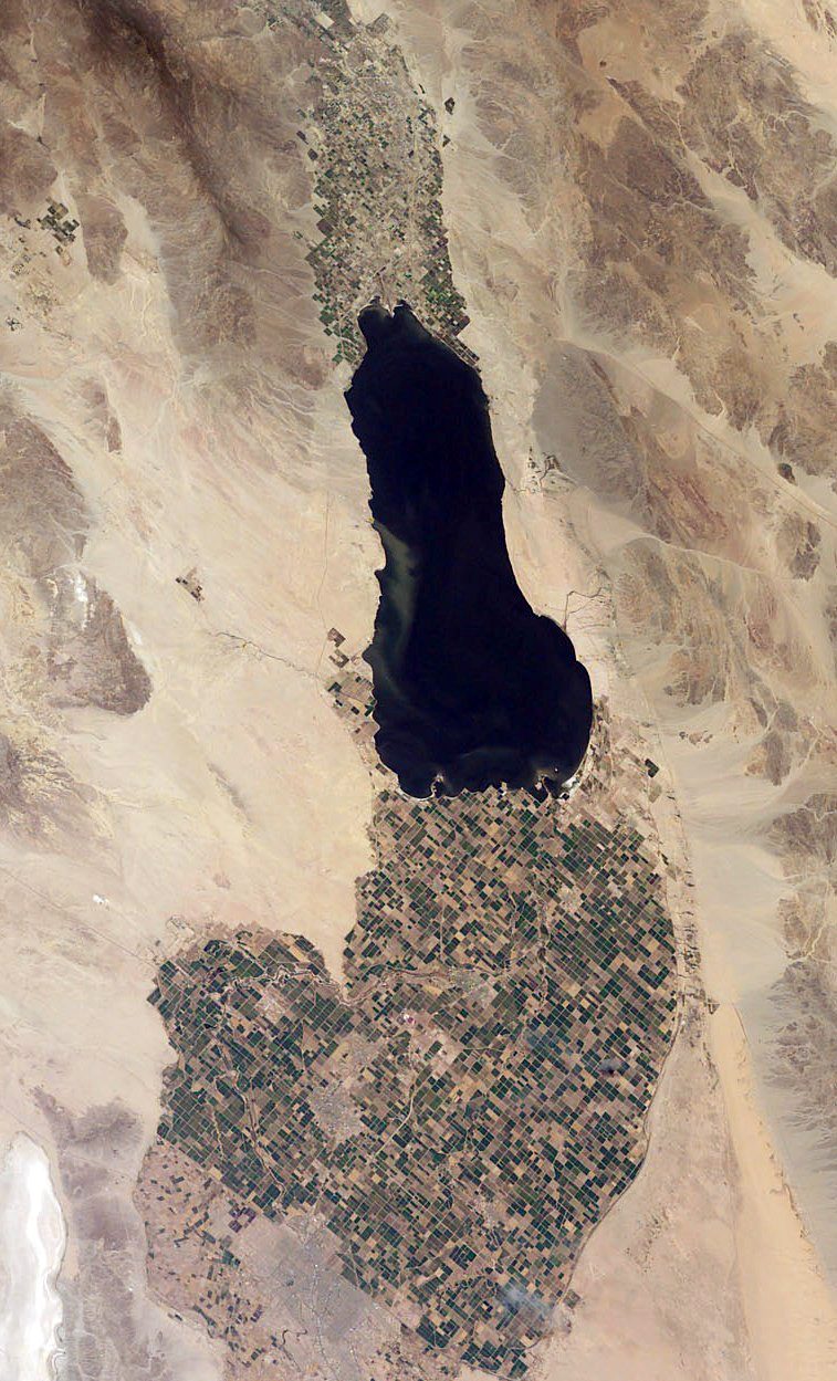 Big draw128 mi LakeSalton Sea
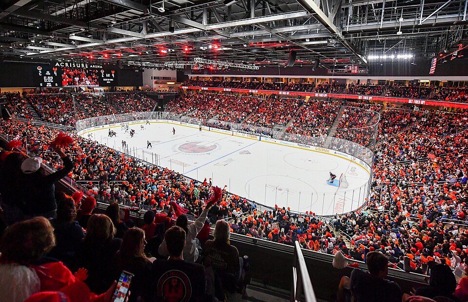 230 mi Stadium & arenaAcrisure Arena
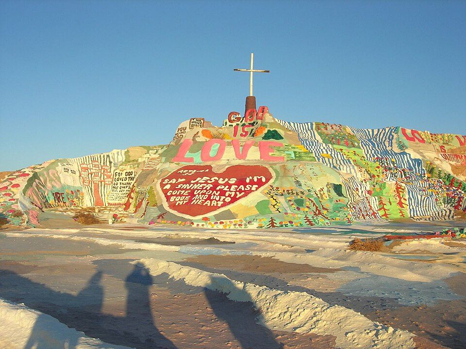 340 mi LandmarkSalvation Mountain
 435 mi MountainNiland Geyser
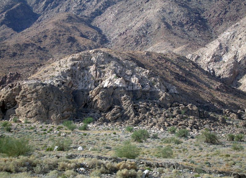 531 mi LakeLake Cahuilla
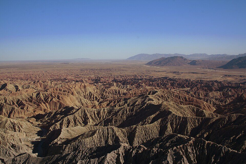 648 mi State parkAnza-Borrego Desert State Park
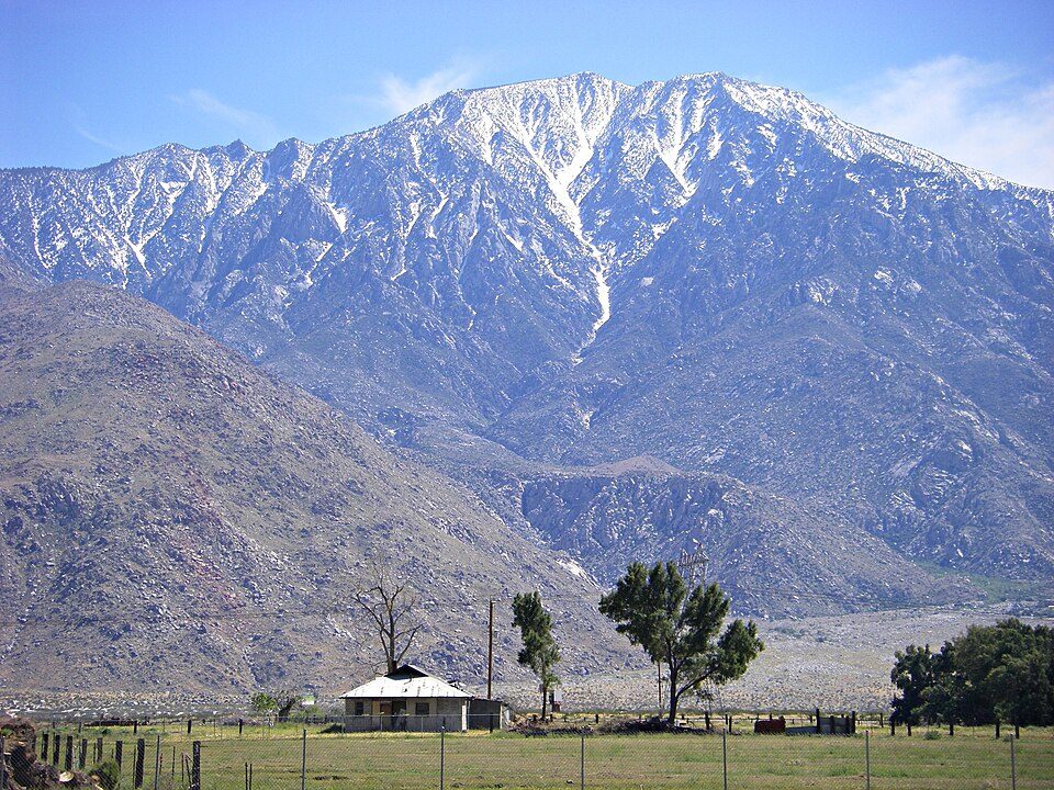 750 mi MountainSan Jacinto Peak
 63 mi MountainSan Gorgonio Mountain
Photo credits
Salton Sea: NASA, Public domain · Acrisure Arena: TheAHL, CC BY 2.0 · Salvation Mountain: Joe Decruyenaere, CC BY-SA 2.0 · Niland Geyser: California Department of Transportation, Public domain · Lake Cahuilla: Unknown, CC BY-SA 2.5 · Anza-Borrego Desert State Park: No machine-readable author provided. Miskatonic assumed (based on copyright clai, CC BY 2.5 · San Jacinto Peak: Wattewyl, CC BY 3.0 · San Gorgonio Mountain: Doc Searls, CC BY-SA 2.0


2025: 2,932,644 visitors
Each bar is one year, from 2016 to 2025.
Joshua Tree: common questions
What town is Joshua Tree National Park near?
Coachella, CA, about 19 miles west.
When is the best time to visit Joshua Tree National Park?
January, February, March, November and December, with highs of 69–81°. March is the busiest month (about 419,869 visitors).
How many people visit Joshua Tree National Park each year?
2,932,644 in 2025, according to the National Park Service. The record is 3,270,404, set in 2023.
How far is Joshua Tree National Park from Riverside and San Diego?
About 91 miles west of Riverside and about 98 miles southwest of San Diego, as the crow flies.
What is the closest airport to Joshua Tree National Park?
Palm Springs (PSP), about 40 miles away.
Where should I stay near Joshua Tree National Park?
Inside the park: Hidden Valley Campground, Jumbo Rocks Campground and Hidden Valley. Nearby: Indio (24 mi, 42 places to stay), Palm Springs (41 mi, 198 places to stay) and Palm Desert (31 mi, 38 places to stay).
Local tips in Coachella
Questions and tips go in Coachella’s Town Square.
Sources: National Park Service · ski areas © OpenSkiMap / OpenStreetMap contributors · Wikidata · Wikipedia readership · National Park Service visitor use statistics · NOAA climate normals · U.S. Census.