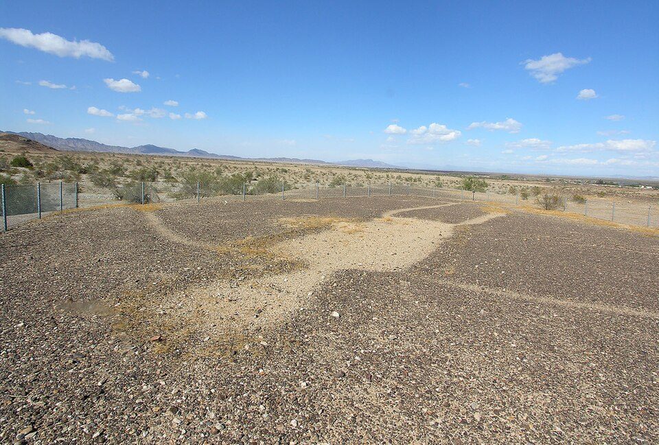
Blythe Intaglios
The Blythe Intaglios or Blythe Geoglyphs are a group of gigantic figures incised on the ground near Blythe, California, United States, in the Colorado Desert. Expect 67–80°F afternoons in the mildest months, January, February, March, November and December.

An ancient site, 11 mi northeast of Blythe
Summers are hot
July and August highs run 108–109°, and about 179 days a year reach 90°. When to go ↓
Places to stay 2.0 miles away
Twin Palms Resort is 2.0 miles away. 1 places to stay are within 4 miles. Hotels nearby ↓
Best months: Jan, Feb, Mar, Nov and Dec
January, February, March, November and December are the mild months, with highs of 67–80°. When to go ↓
Written from NOAA 1991–2020 normals, Overture places to stay, Census town figures, Wikidata and Wikipedia.
Weather, month by month
Below are typical highs and lows near Blythe Intaglios.
Blythe Intaglios
The Blythe Intaglios or Blythe Geoglyphs are a group of gigantic figures incised on the ground near Blythe, California, United States, in the Colorado Desert. The ground drawings or geoglyphs were created by humans for an as-yet-unknown reason.
The intaglios are located east of the Big Maria Mountains, about 15 miles (24 km) north of downtown Blythe, just west of U.S. Highway 95 near the Colorado River. The Blythe Intaglios are the most well-known of the over 200 intaglios in the Colorado Desert. The Colorado Desert contains the only known desert intaglios in North America. These intaglios are mostly located along the Colorado River.
- Type
- Ancient site
- Listed
- National Register of Historic Places (1975) · California Historical Landmark (1933)
- Wikipedia readers
- 23K a year
Staying close to Blythe Intaglios
You can stay at one place within 4 miles. Closest is Twin Palms Resort, 2.0 miles away.
Places to stay within 4 miles
- 1Twin Palms Resorthotel · 2.0 mi northDirections
- 2Aha Quin ResortRV park · 4.3 mi northDirections
- 3Water Wheel Resorthotel · 8.4 mi northDirections
- 4Hidden Beaches ResortRV park · 9.6 mi southDirections
Compare 8 towns to stay in
| Town | From Blythe Intaglios | Drive | Places to stay | People | Typical home | Safety |
|---|---|---|---|---|---|---|
| Blythe | 11 mi southwest | 15 min | 30 22 hotels · 4 motels · 2 campgrounds · 2 RV parks | 15,042 | $225K | C |
| Quartzsite 30% vacation homes | 21 mi southeast | 30 min | 42 3 hotels · 1 motel · 5 campgrounds · 33 RV parks | 2,388 | — | — |
| Ehrenberg 29% vacation homes | 13 mi south | 20 min | 8 2 hotels · 1 campground · 5 RV parks | 697 | — | — |
| Parker | 24 mi northeast | 35 min | 10 5 hotels · 2 motels · 1 inn or B&B · 1 lodge or cabins · 1 RV park | 3,394 | $300K | C+ |
| Big River 36% vacation homes | 26 mi northeast | 40 min | 4 1 hotel · 1 campground · 2 RV parks | 1,140 | $126K | — |
| La Paz Valley 36% vacation homes | 24 mi southeast | 35 min | 3 1 campground · 2 RV parks | 579 | $222K | — |
| Bluewater 34% vacation homes | 30 mi northeast | 45 min | 2 1 hotel · 1 RV park | 897 | $148K | — |
| Palo Verde 48% vacation homes | 28 mi southwest | 40 min | 1 1 campground | 75 | — | — |
Getting there
Nearest airports with airline service
Places to add to Blythe Intaglios
Every place here is under 70 miles away.
 48 mi LakeLake Havasu
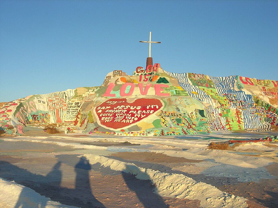 66 mi LandmarkSalvation Mountain
 70 mi MountainNiland Geyser
 69 mi MuseumGeneral George S. Patton Memorial Museum
Photo credits
Lake Havasu: Doc Searls from Santa Barbara, USA, CC BY-SA 2.0 · Salvation Mountain: Joe Decruyenaere, CC BY-SA 2.0 · Niland Geyser: California Department of Transportation, Public domain · General George S. Patton Memorial Museum: Chris English, CC BY-SA 3.0


Visiting Blythe Intaglios: the answers
What town is Blythe Intaglios near?
Blythe, CA, about 11 miles southwest.
When is the best time to visit Blythe Intaglios?
January, February, March, November and December, with highs of 67–80°.
What is the closest airport to Blythe Intaglios?
Lake Havasu City (HII), about 54 miles away. The nearest big hub is Palm Springs (PSP), about 113 miles.
What hotels are near Blythe Intaglios?
Twin Palms Resort (2.0 mi), Aha Quin Resort (4.3 mi) and Water Wheel Resort (8.4 mi). 1 places to stay are within 4 miles.
Tips from Blythe
Nobody has posted a tip yet; ask or answer in Blythe’s Town Square.
Sources: National Park Service · ski areas © OpenSkiMap / OpenStreetMap contributors · Wikidata · Wikipedia readership · NOAA climate normals · U.S. Census.