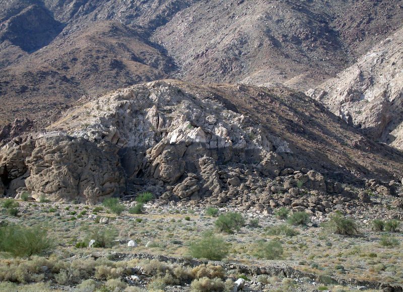
Lake Cahuilla
Lake Cahuilla ( kə-WEE-ə; also known as Lake LeConte and Blake Sea) was a prehistoric lake in California and northern Mexico. It lies 9 mi east of Salton City. For a second stop, Salton Sea is 3.4 mi away.

A lake, 9 mi east of Salton City
Summers are hot
July and August highs run 107–108°, and about 196 days a year reach 90°. When to go ↓
Plan where you’ll sleep
The nearest town with many places to stay is Brawley, 27 miles southeast. Where to stay ↓
A day trip from San Diego
San Diego is about 83 miles southwest (straight-line). Where to stay ↓
Best months: Jan, Feb, Mar, Nov and Dec
January, February, March, November and December are the mild months, with highs of 70–82°. When to go ↓
Written from NOAA 1991–2020 normals, Overture places to stay, Census town figures and Wikipedia.
A month-by-month look
Use the months below to time a visit to Lake Cahuilla.
Lake Cahuilla
Lake Cahuilla ( kə-WEE-ə; also known as Lake LeConte and Blake Sea) was a prehistoric lake in California and northern Mexico. Located in the Coachella and Imperial valleys, it covered surface areas of 5,700 km2 (2,200 mi2) to a height of 12 m (39 ft) above sea level during the Holocene. During earlier stages of the Pleistocene, the lake reached even higher elevations, up to 31–52 m (102–171 ft) above sea level. During the Holocene most of the water came from the Colorado River with little contribution from local runoff; in the Pleistocene local runoff was higher and it is possible that Lake Cahuilla was supported solely from local water sources during the Wisconsin glaciation. The lake overflowed close to Cerro Prieto into the Rio Hardy, eventually draining into the Gulf of California.
- Type
- Lake
- Wikipedia readers
- 23K a year
Overnight near Lake Cahuilla
Places to stay start in Salton City (3) and Brawley (12), and Indio has the most rooms in the area (42).
Salton City
The closest town with somewhere to stay.
5,988 people
9 mi west of Lake Cahuilla
Indio
The most places to stay in the area, and a base for a longer trip.
94,269 people
39 mi northwest of Lake Cahuilla
Compare 9 towns
| Town | From Lake Cahuilla | Drive | Places to stay | People | Typical home | Safety |
|---|---|---|---|---|---|---|
| Salton City | 9 mi west | 15 min | 3 1 hotel · 1 motel · 1 RV park | 5,988 | $201K | — |
| Brawley | 27 mi southeast | 40 min | 12 6 hotels · 2 motels · 1 inn or B&B · 2 lodges & cabins · 1 RV park | 28,008 | $291K | — |
| Niland | 17 mi east | 25 min | 3 1 hotel · 2 RV parks | 1,116 | $226K | — |
| Calipatria | 20 mi southeast | 30 min | 2 1 inn or B&B · 1 campground | 6,012 | $197K | — |
| Desert Shores | 16 mi northwest | 25 min | 1 1 motel | 801 | $179K | — |
| Oasis | 25 mi northwest | 35 min | 3 2 campgrounds · 1 RV park | 4,051 | $35K | — |
| North Shore | 16 mi northwest | 25 min | 1 1 campground | 3,515 | $204K | — |
| Westmorland | 21 mi southeast | 30 min | 1 1 hotel | 2,015 | $310K | — |
| Indio | 39 mi northwest | 1 hr | 42 20 hotels · 12 motels · 1 lodge or cabins · 9 RV parks | 94,269 | $458K | C+ |
Day trip from
Straight-line miles.
Getting there
Nearest airports with airline service
What else is near Lake Cahuilla
These lie within 62 miles as the crow flies.
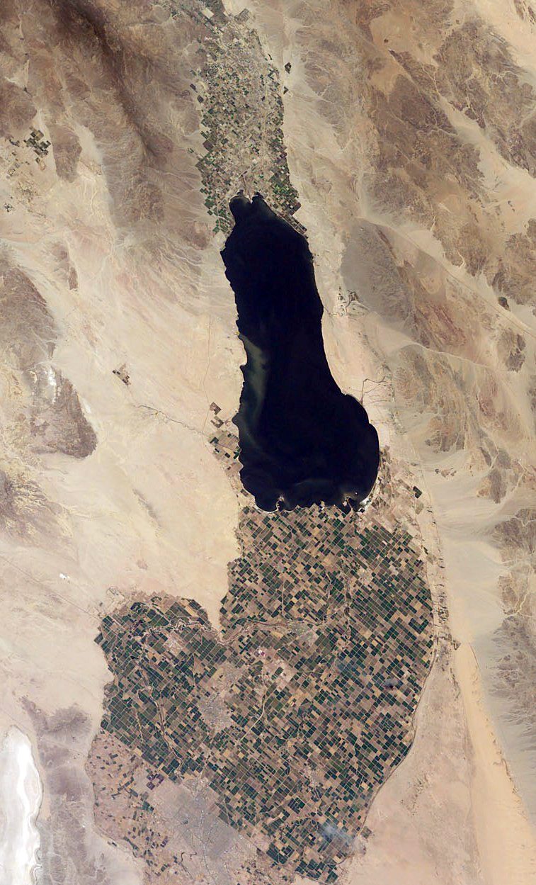 Big draw13 mi LakeSalton Sea
 Big draw31 mi National ParkJoshua Tree National Park2.9M visitors a year
 213 mi MountainNiland Geyser
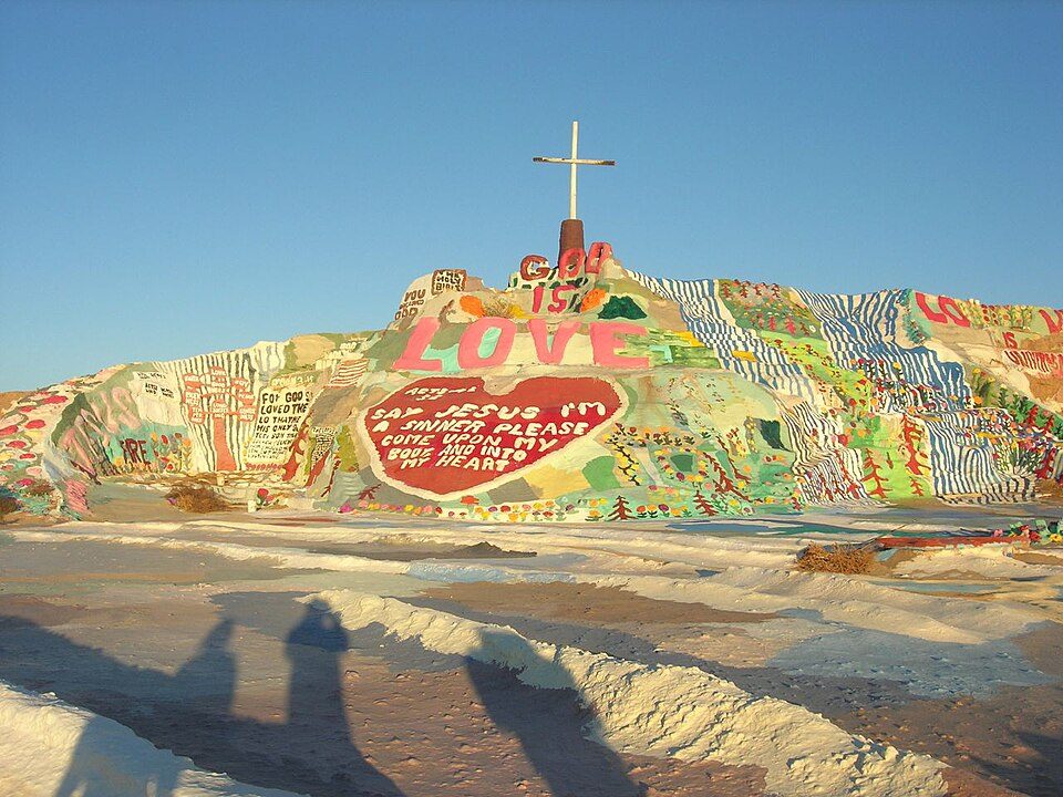 319 mi LandmarkSalvation Mountain
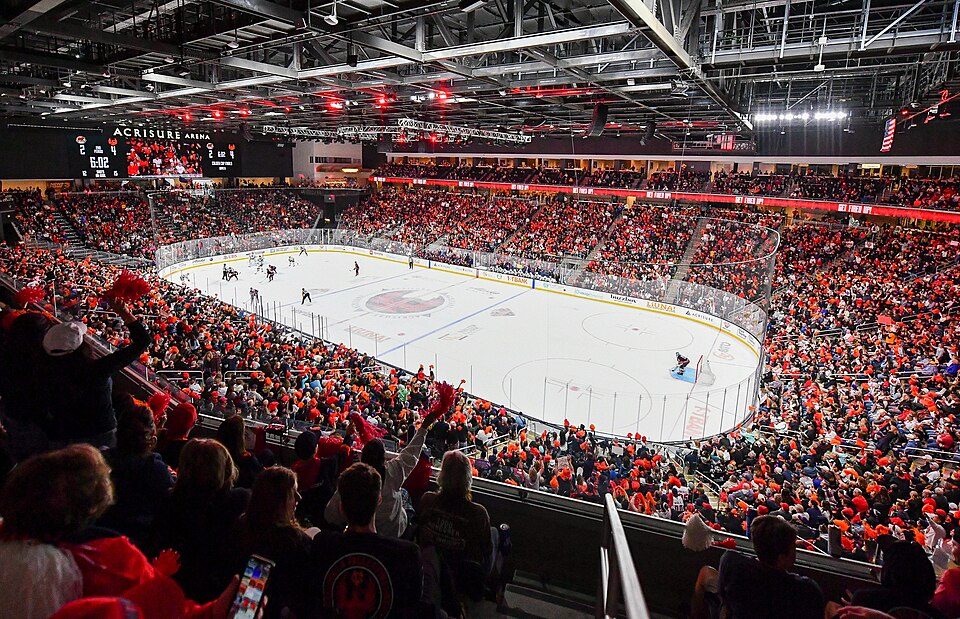 45 mi Stadium & arenaAcrisure Arena
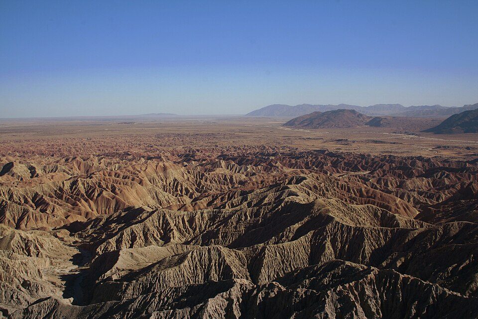 35 mi State parkAnza-Borrego Desert State Park
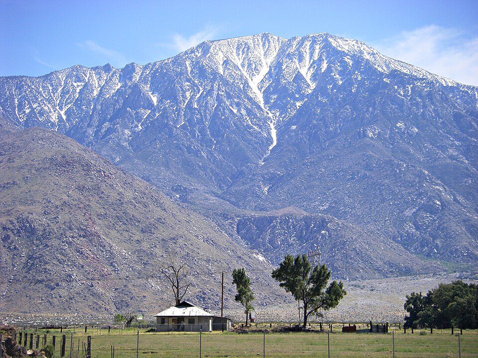 62 mi MountainSan Jacinto Peak51 mi LandmarkForest Lawn Cemetery
Photo credits
Salton Sea: NASA, Public domain · Joshua Tree National Park: Sergiy Galyonkin, CC BY-SA 4.0 · Niland Geyser: California Department of Transportation, Public domain · Salvation Mountain: Joe Decruyenaere, CC BY-SA 2.0 · Acrisure Arena: TheAHL, CC BY 2.0 · Anza-Borrego Desert State Park: No machine-readable author provided. Miskatonic assumed (based on copyright clai, CC BY 2.5 · San Jacinto Peak: Wattewyl, CC BY 3.0


Before visiting Lake Cahuilla
What town is Lake Cahuilla near?
Salton City, CA, about 9 miles west.
When is the best time to visit Lake Cahuilla?
January, February, March, November and December, with highs of 70–82°.
How far is Lake Cahuilla from San Diego?
About 83 miles southwest of San Diego, as the crow flies.
What is the closest airport to Lake Cahuilla?
Imperial County (IPL), about 35 miles away. The nearest big hub is Palm Springs (PSP), about 55 miles.
Where should I stay near Lake Cahuilla?
Salton City (9 mi, 3 places to stay), Indio (39 mi, 42 places to stay) and Brawley (27 mi, 12 places to stay).
Notes from people in Salton City
Ask a question, or answer one, in Salton City’s Town Square.
Sources: National Park Service · ski areas © OpenSkiMap / OpenStreetMap contributors · Wikidata · Wikipedia readership · NOAA climate normals · U.S. Census.