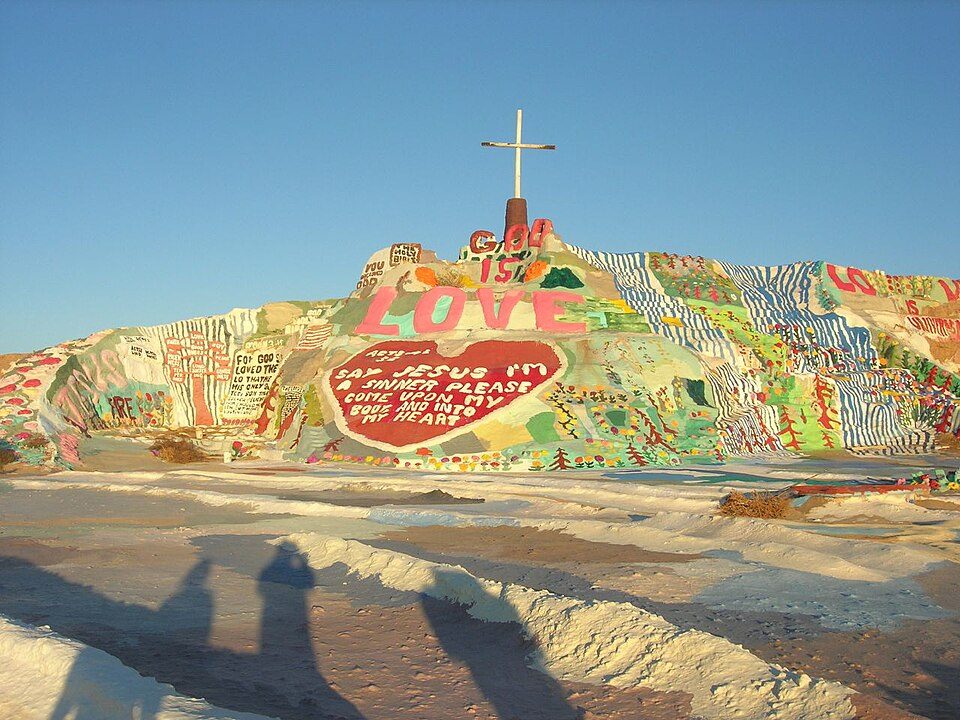
Salvation Mountain
Salvation Mountain is a hillside visionary environment created by artist Leonard Knight (1931–2014) in the California Desert area of Imperial County, north of Calipatria, northeast of Niland, near the Slab City community, and several miles from the Salton Sea. Worth the trip, Salton Sea is 22 mi off. Its mildest months, January, February, March, November and December, bring highs of 69–82°F.

A landmark, 3 mi northeast of Niland
Summers are hot
July and August highs run 108–109°, and about 181 days a year reach 90°. When to go ↓
Plan where you’ll sleep
The nearest town with many places to stay is Brawley, 19 miles south. Where to stay ↓
A day trip from San Diego
San Diego is about 100 miles west (straight-line). Where to stay ↓
Best months: Jan, Feb, Mar, Nov and Dec
January, February, March, November and December are the mild months, with highs of 69–82°. When to go ↓
Written from NOAA 1991–2020 normals, Overture places to stay, Census town figures and Wikipedia.
The climate here
The weather near Salvation Mountain shifts through the year, as below.
Salvation Mountain
Salvation Mountain is a hillside visionary environment created by artist Leonard Knight (1931–2014) in the California Desert area of Imperial County, north of Calipatria, northeast of Niland, near the Slab City community, and several miles from the Salton Sea.
The artwork is made of adobe bricks, discarded tires and windows, automobile parts and thousands of gallons of paint. It encompasses numerous murals and areas painted with Christian sayings and Bible verses, though its philosophy was built around the Sinner's prayer.
- Type
- Landmark
- Wikipedia readers
- 32K a year
Staying near Salvation Mountain
Close by, places to stay are in Niland (3) and Brawley (12).
Niland
The closest town with somewhere to stay.
1,116 people
3 mi southwest of Salvation Mountain
Compare 6 towns
| Town | From Salvation Mountain | Drive | Places to stay | People | Typical home | Safety |
|---|---|---|---|---|---|---|
| Niland | 3 mi southwest | 5 min | 3 1 hotel · 2 RV parks | 1,116 | $226K | — |
| Brawley | 19 mi south | 30 min | 12 6 hotels · 2 motels · 1 inn or B&B · 2 lodges & cabins · 1 RV park | 28,008 | $291K | — |
| Calipatria | 6 mi south | 10 min | 2 1 inn or B&B · 1 campground | 6,012 | $197K | — |
| Westmorland | 17 mi southwest | 25 min | 1 1 hotel | 2,015 | $310K | — |
| Salton City | 28 mi west | 45 min | 3 1 hotel · 1 motel · 1 RV park | 5,988 | $201K | — |
| Imperial | 29 mi south | 45 min | 3 2 hotels · 1 lodge or cabins | 22,330 | $361K | A |
Getting there
Nearest airports with airline service
While you are near Salvation Mountain
More places people know lie within 66 miles.
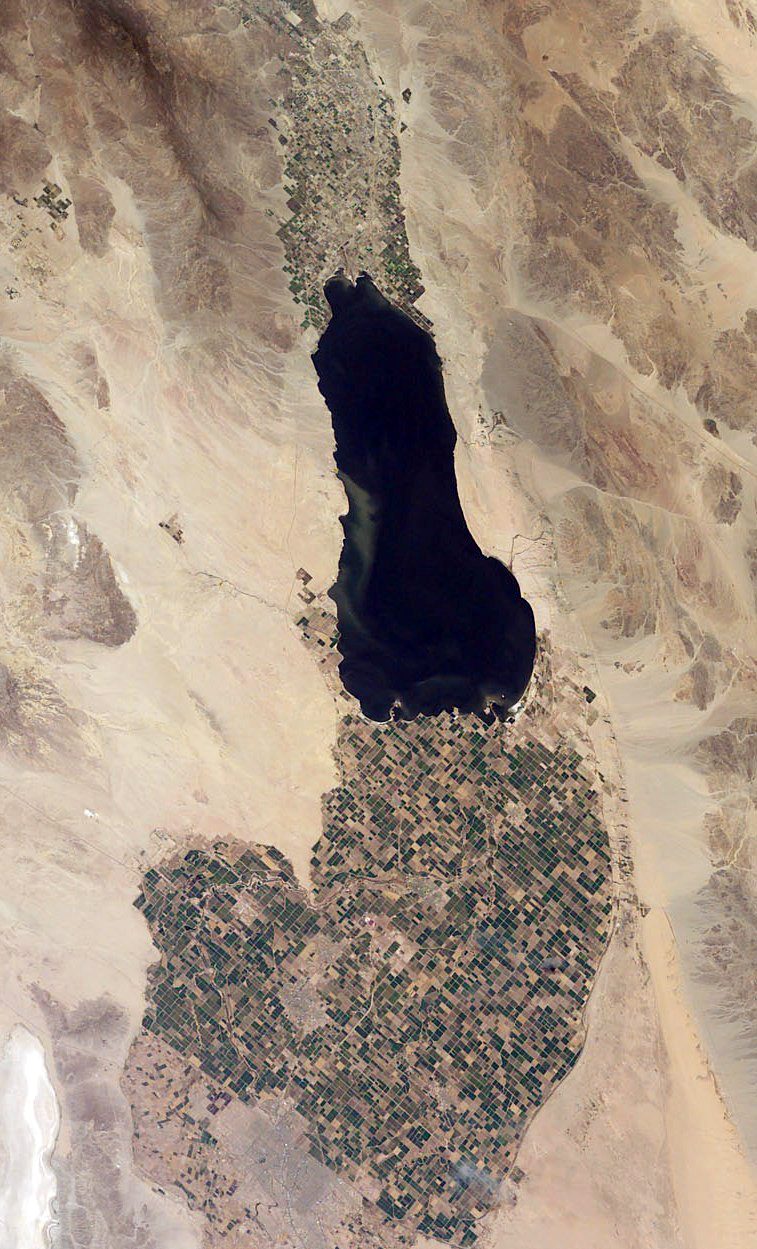 Big draw122 mi LakeSalton Sea
 Big draw40 mi National ParkJoshua Tree National Park2.9M visitors a year
 26 mi MountainNiland Geyser
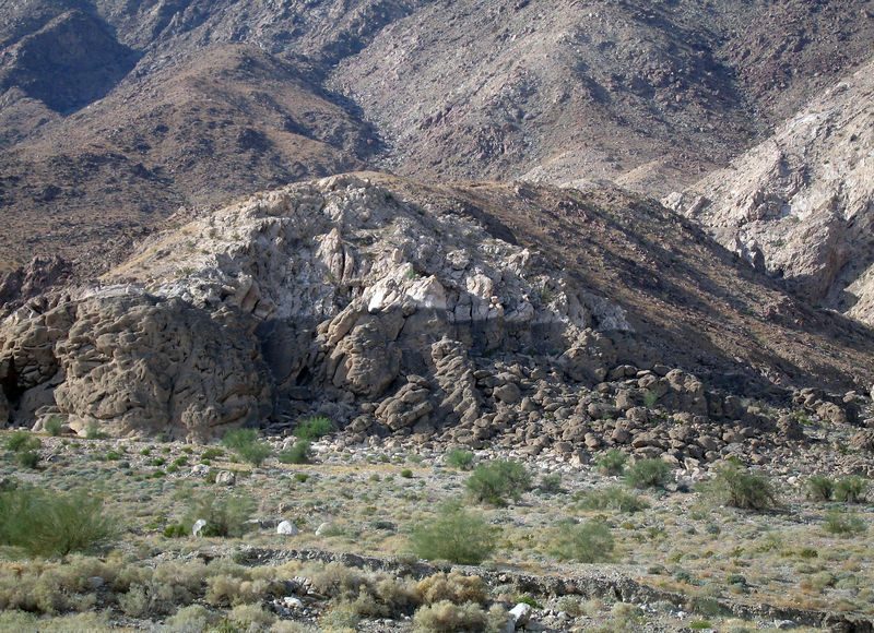 319 mi LakeLake Cahuilla
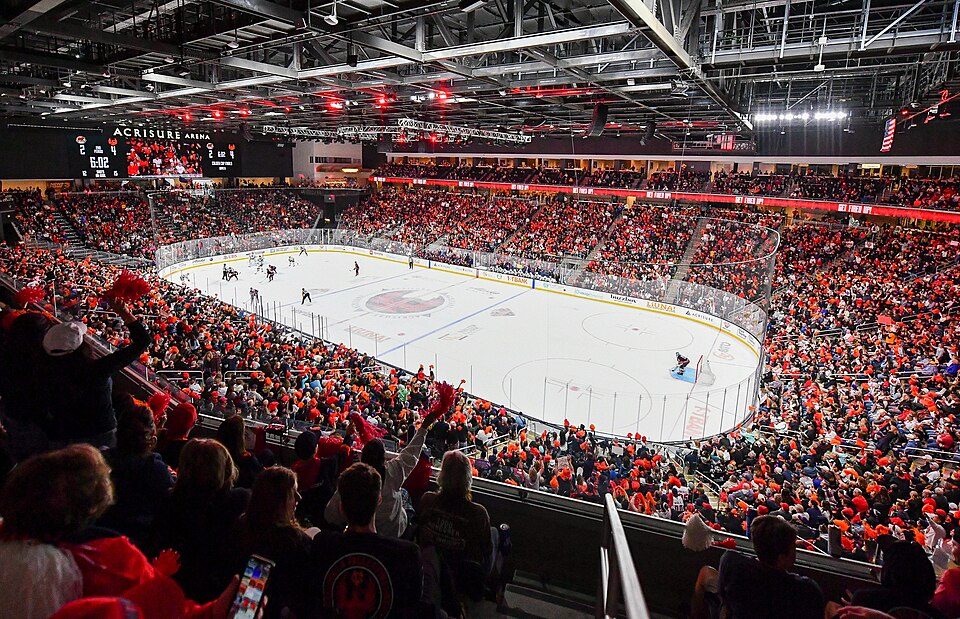 62 mi Stadium & arenaAcrisure Arena
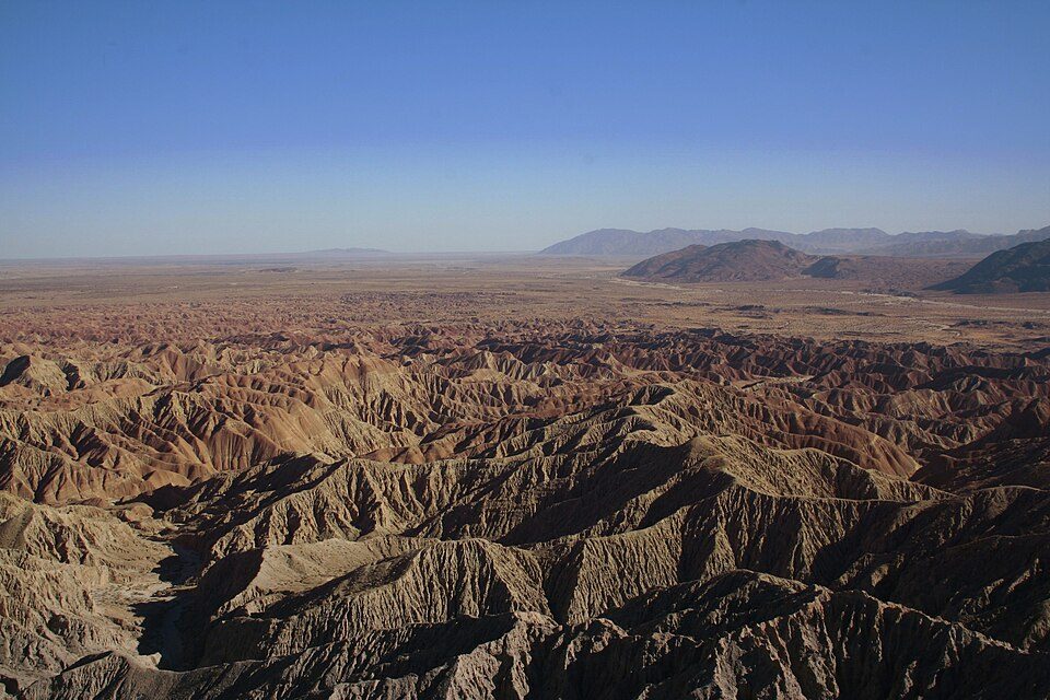 54 mi State parkAnza-Borrego Desert State Park
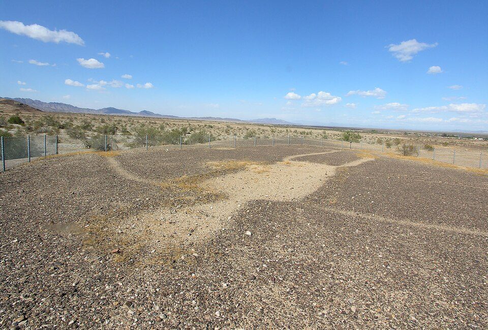 66 mi Ancient siteBlythe Intaglios
 62 mi MuseumYuma Territorial Prison
Photo credits
Salton Sea: NASA, Public domain · Joshua Tree National Park: Sergiy Galyonkin, CC BY-SA 4.0 · Niland Geyser: California Department of Transportation, Public domain · Lake Cahuilla: Unknown, CC BY-SA 2.5 · Acrisure Arena: TheAHL, CC BY 2.0 · Anza-Borrego Desert State Park: No machine-readable author provided. Miskatonic assumed (based on copyright clai, CC BY 2.5 · Blythe Intaglios: Ron's Log, CC BY-SA 3.0 · Yuma Territorial Prison: Pretzelpaws at English Wikipedia, CC BY-SA 3.0


Questions before you go
What town is Salvation Mountain near?
Niland, CA, about 3 miles southwest.
When is the best time to visit Salvation Mountain?
January, February, March, November and December, with highs of 69–82°.
How far is Salvation Mountain from San Diego?
About 100 miles west of San Diego, as the crow flies.
What is the closest airport to Salvation Mountain?
Imperial County (IPL), about 30 miles away. The nearest big hub is Palm Springs (PSP), about 72 miles.
Where should I stay near Salvation Mountain?
Niland (3 mi, 3 places to stay), Brawley (19 mi, 12 places to stay) and Salton City (28 mi, 3 places to stay).
Tips from Niland
There are no tips yet, so start one in Niland’s Town Square.
Sources: National Park Service · ski areas © OpenSkiMap / OpenStreetMap contributors · Wikidata · Wikipedia readership · NOAA climate normals · U.S. Census.