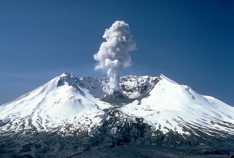
Mount St. Helens National Volcanic Monument
Mount St. Helens National Volcanic Monument is a U.S. National Monument that includes the area around Mount St. Helens in Cowlitz, Lewis, and Skamania Counties, Washington. Look for it 14 mi northeast of Cougar. It comes under the United States Forest Service.

A park & preserve, 14 mi northeast of Cougar
Plan where you’ll sleep
The nearest town with many places to stay is Ashford, 37 miles north. Where to stay ↓
A day trip from Portland
Portland is about 53 miles southwest and Seattle is about 96 miles north (straight-line). Where to stay ↓
Best months: May, Jun, Jul, Aug and Sep
May, June, July, August and September are the mild months, with highs of 65–78°. When to go ↓
Established in 1982
Mount St. Helens National Volcanic Monument dates from 1982 and is run by United States Forest Service. About ↓
Written from NOAA 1991–2020 normals, Overture places to stay, Census town figures, Wikidata and Wikipedia.
The climate here
Below are typical highs and lows near Mount St. Helens National Volcanic Monument.
Mount St. Helens National Volcanic Monument
Mount St. Helens National Volcanic Monument is a U.S. National Monument that includes the area around Mount St. Helens in Cowlitz, Lewis, and Skamania Counties, Washington. It was established by Congress on August 27, 1982, following the 1980 eruption. The 110,000-acre (172 sq mi; 445 km2) National Volcanic Monument was set aside for research, recreation, and education. Inside the monument, the environment is left to respond naturally to the disturbance. It was the third national monument to be managed by the U.S. Forest Service and is part of the Gifford Pinchot National Forest.
- Type
- Park & preserve
- Established
- 1982
- Opened
- 1983
- Area
- 172 square miles
- Run by
- United States Forest Service
- Wikipedia readers
- 19K a year
Where to base yourself for Mount St. Helens National Volcanic Monument
Nearest for a night are Cougar (3) and Mossyrock (4), and Ashford has the most rooms in the area (23).
Cougar
The closest town with somewhere to stay.
151 people
14 mi southwest of Mount St. Helens National Volcanic Monument
Ashford
The most places to stay in the area, and a base for a longer trip.
319 people
37 mi north of Mount St. Helens National Volcanic Monument
Compare 4 towns
| Town | From Mount St. Helens National Volcanic Monument | Drive | Places to stay | People | Typical home |
|---|---|---|---|---|---|
| Cougar | 14 mi southwest | 20 min | 3 1 campground · 2 RV parks | 151 | — |
| Mossyrock | 25 mi northwest | 40 min | 4 4 campgrounds | 806 | $280K |
| Morton | 23 mi north | 35 min | 2 2 motels | 1,102 | $301K |
| Ashford | 37 mi north | 1 hr | 23 9 hotels · 2 inns & B&Bs · 12 lodges & cabins | 319 | $358K |
Day trip from
Straight-line miles.
Getting there
Nearest airports with airline service
Places to add to Mount St. Helens National Volcanic Monument
Other well-known places within 64 miles.
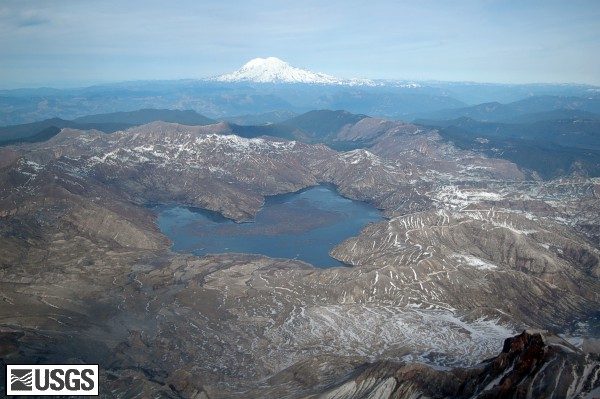 24 mi LakeSpirit Lake
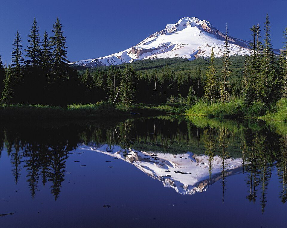 Big draw64 mi MountainMount Hood
 34 mi Canyon & gorgeApe Canyon
 46 mi WaterfallMultnomah Falls
 33 mi MountainMount Adams
 54 mi Stadium & arenaModa Center
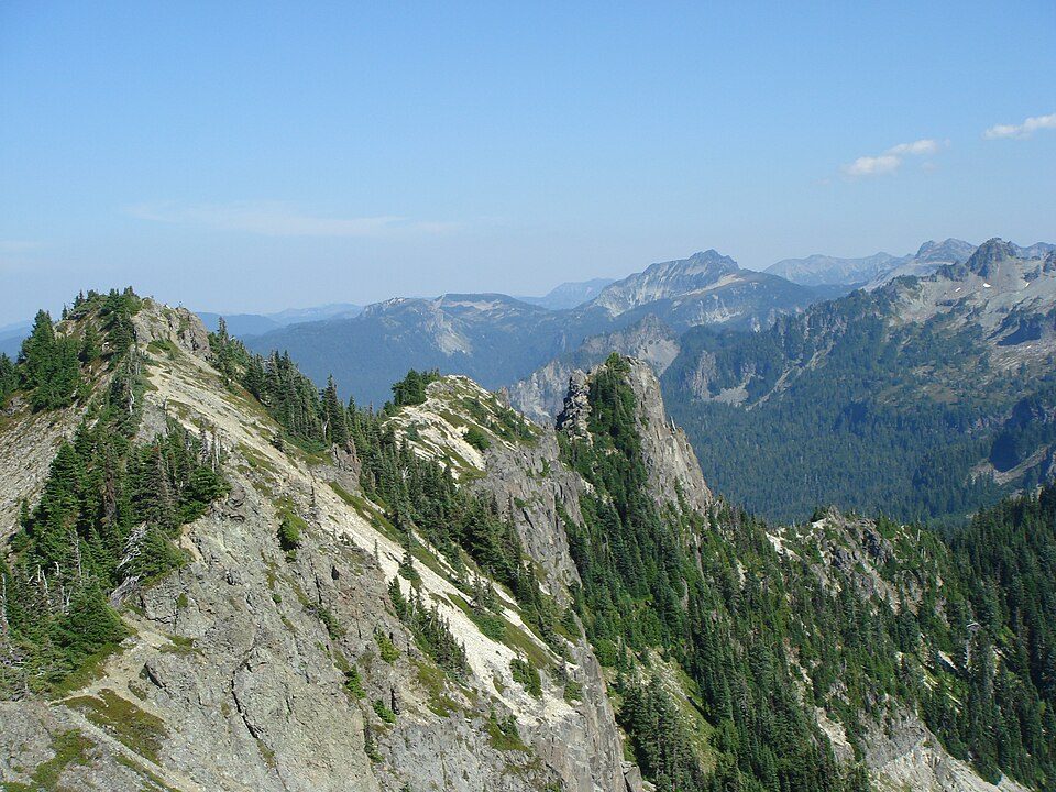 47 mi National ParkMount Rainier National Park1.6M visitors a year
Photo credits
Spirit Lake: Matt Logan, Public domain · Mount Hood: Oregon's Mt. Hood Territory., Public domain · Ape Canyon: Caroline, CC BY 2.0 · Multnomah Falls: John Fowler from Placitas, NM, USA, CC BY 2.0 · Mount Adams: USGS Photo by R. Iverson, USGS/CVO, Public domain · Moda Center: Lugnuts, CC BY-SA 3.0 · Mount Rainier National Park: Ricardo Martins from Gent, Belgium, CC BY 2.0


Mount St. Helens National Volcanic Monument: common questions
What town is Mount St. Helens National Volcanic Monument near?
Cougar, WA, about 14 miles southwest.
When is the best time to visit Mount St. Helens National Volcanic Monument?
May, June, July, August and September, with highs of 65–78°.
How far is Mount St. Helens National Volcanic Monument from Portland and Seattle?
About 53 miles southwest of Portland and about 96 miles north of Seattle, as the crow flies.
What is the closest airport to Mount St. Helens National Volcanic Monument?
Portland (PDX), about 49 miles away.
Where should I stay near Mount St. Helens National Volcanic Monument?
Cougar (14 mi, 3 places to stay), Ashford (37 mi, 23 places to stay) and Mossyrock (25 mi, 4 places to stay).
Tips for visiting, from Cougar
Nobody has posted a tip yet; ask or answer in Cougar’s Town Square.
Sources: National Park Service · ski areas © OpenSkiMap / OpenStreetMap contributors · Wikidata · Wikipedia readership · NOAA climate normals · U.S. Census.