
Multnomah Falls
Multnomah Falls is a waterfall located on Multnomah Creek in the Columbia River Gorge, east of Troutdale, between Corbett and Dodson, Oregon, United States. Visitors find it 8 mi southwest of North Bonneville. Around it, Mount Hood (25 mi) comes first on our list.

A waterfall, 8 mi southwest of North Bonneville
One of the most looked-up attractions in the U.S.
About 74K people a year read its Wikipedia article, more than for 95% of the 7,799 attractions we track.
Stevenson is the nearest base
Stevenson is 13 miles northeast, with 8 places to stay. Where to stay ↓
Best months: May, Jun, Jul, Aug, Sep and Oct
May, June, July, August, September and October are the mild months, with highs of 64–82°. When to go ↓
Written from NOAA 1991–2020 normals, Overture places to stay, Census town figures, Wikidata and Wikipedia.
When to go
The weather near Multnomah Falls shifts through the year, as below.
Multnomah Falls
Multnomah Falls is a waterfall located on Multnomah Creek in the Columbia River Gorge, east of Troutdale, between Corbett and Dodson, Oregon, United States. The waterfall is accessible from the Historic Columbia River Highway and Interstate 84. Spanning two tiers on basalt cliffs, it is the tallest waterfall in the state of Oregon at 620 ft (189 m) in height. The Multnomah Creek Bridge, built in 1914, crosses below the falls, and is listed on the National Register of Historic Places.
- Type
- Waterfall
- Elevation
- 627 ft
- Wikipedia readers
- 74K a year
Staying near Multnomah Falls
The nearest towns with places to stay are Portland (257) and Gresham (21).
Portland
The closest town with somewhere to stay.
635,109 people
26 mi west of Multnomah Falls
Compare 8 towns
| Town | From Multnomah Falls | Drive | Places to stay | People | Typical home | Safety |
|---|---|---|---|---|---|---|
| Portland | 26 mi west | 40 min | 257 182 hotels · 31 motels · 19 inns & B&Bs · 11 lodges & cabins · 3 hostels · 5 campgrounds · 6 RV parks | 635,109 | $582K | D− |
| Gresham | 17 mi west | 25 min | 21 15 hotels · 2 motels · 1 inn or B&B · 1 lodge or cabins · 1 campground · 1 RV park | 111,513 | $459K | C− |
| Vancouver | 24 mi west | 35 min | 40 33 hotels · 2 motels · 2 inns & B&Bs · 2 lodges & cabins · 1 campground | 199,698 | $462K | D |
| Mount Hood Villages 27% vacation homes | 18 mi south | 30 min | 20 7 hotels · 2 inns & B&Bs · 7 lodges & cabins · 3 campgrounds · 1 RV park | 4,703 | $456K | — |
| Stevenson | 13 mi northeast | 20 min | 8 5 hotels · 3 lodges & cabins | 1,596 | $497K | — |
| Government Camp 81% vacation homes | 26 mi southeast | 40 min | 31 11 hotels · 16 lodges & cabins · 4 campgrounds | 147 | — | — |
| North Bonneville | 8 mi northeast | 10 min | 3 1 hotel · 2 campgrounds | 1,415 | $446K | — |
| Cascade Locks | 14 mi northeast | 20 min | 5 1 hotel · 2 motels · 2 campgrounds | 1,367 | $385K | — |
Getting there
Nearest airports with airline service
Other places close by
Each of these is within 53 miles.
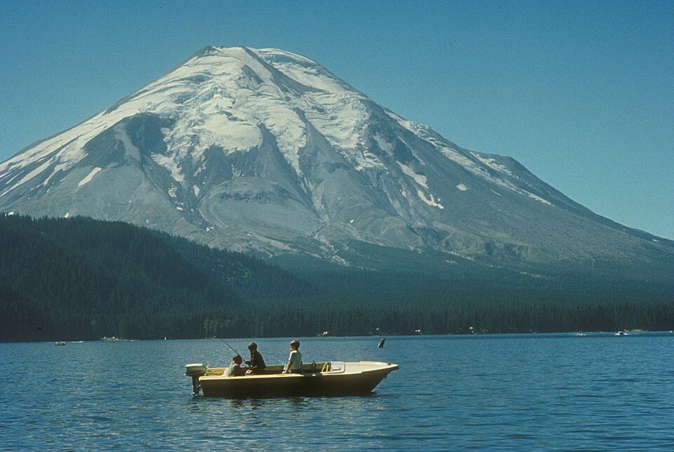 Big draw43 mi MountainMount St. Helens
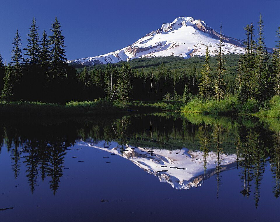 Big draw125 mi MountainMount Hood
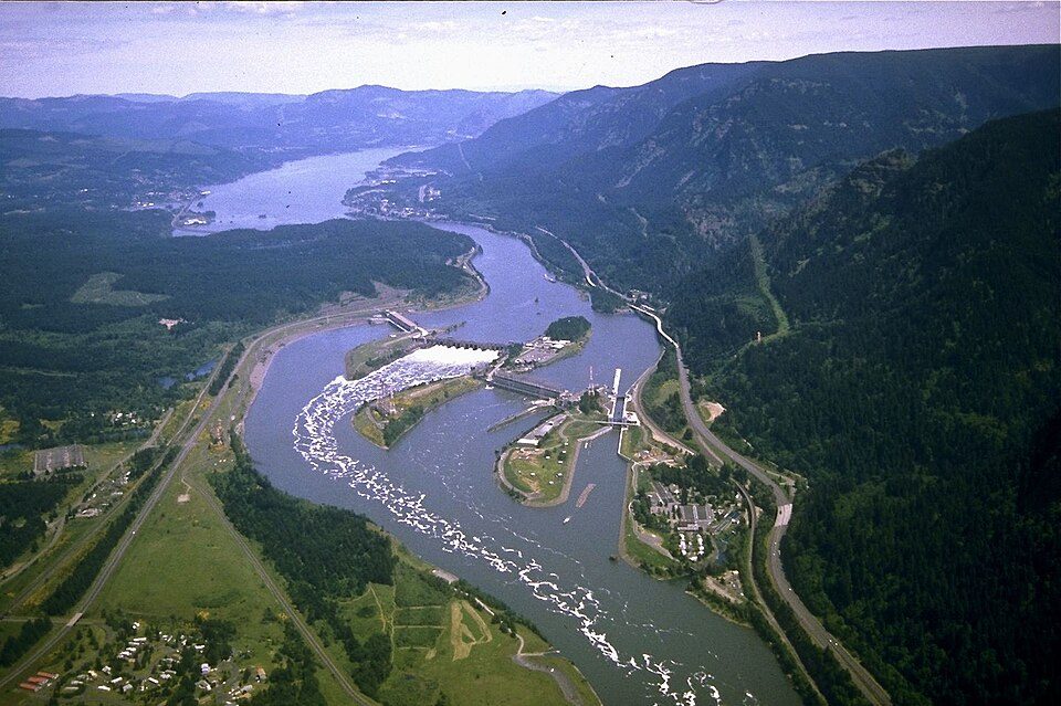 210 mi DamBonneville Dam
 327 mi Stadium & arenaModa Center
 418 mi Canyon & gorgeColumbia River Gorge
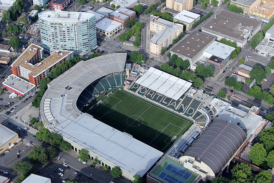 528 mi Stadium & arenaProvidence Park
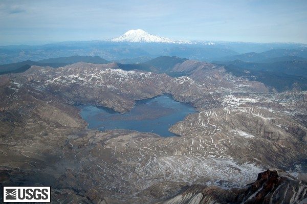 48 mi LakeSpirit Lake
 53 mi MountainMount Adams
Photo credits
Mount St. Helens: U.S. Forest Service- Pacific Northwest Region, Public domain · Mount Hood: Oregon's Mt. Hood Territory., Public domain · Bonneville Dam: U.S. Army Corps of Engineers, Public domain · Moda Center: Lugnuts, CC BY-SA 3.0 · Columbia River Gorge: Hux, Public domain · Providence Park: Pdx.rollingthunder, CC BY-SA 4.0 · Spirit Lake: Matt Logan, Public domain · Mount Adams: USGS Photo by R. Iverson, USGS/CVO, Public domain


Multnomah Falls in questions
What town is Multnomah Falls near?
North Bonneville, WA, about 8 miles northeast.
When is the best time to visit Multnomah Falls?
May, June, July, August, September and October, with highs of 64–82°.
What is the closest airport to Multnomah Falls?
Portland (PDX), about 23 miles away.
Where should I stay near Multnomah Falls?
Portland (26 mi, 257 places to stay), Gresham (17 mi, 21 places to stay) and Vancouver (24 mi, 40 places to stay).
Tips for visiting, from North Bonneville
There are no tips yet, so start one in North Bonneville’s Town Square.
Sources: National Park Service · ski areas © OpenSkiMap / OpenStreetMap contributors · Wikidata · Wikipedia readership · NOAA climate normals · U.S. Census.