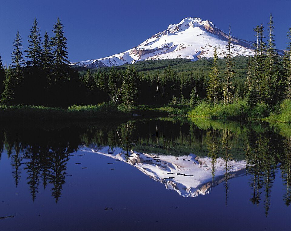
Mount Hood
Mount Hood is an active stratovolcano in the Cascade Range and is a member of the Cascade Volcanic Arc.

A mountain, 6 mi northeast of Government Camp
One of the most looked-up attractions in the U.S.
About 174K people a year read its Wikipedia article, more than for 98% of the 7,799 attractions we track.
Government Camp is the nearest base
Government Camp is 6 miles southwest, with 31 places to stay. Where to stay ↓
A day trip from Portland
Portland is about 48 miles west (straight-line). Where to stay ↓
Best months: Jul, Aug and Sep
July, August and September are the mild months, with highs of 64–71°. When to go ↓
Written from NOAA 1991–2020 normals, Overture places to stay, Census town figures, Wikidata and Wikipedia.
Weather, month by month
Typical highs and lows in Government Camp. Green months are the mild ones.
Mount Hood
Mount Hood is an active stratovolcano in the Cascade Range and is a member of the Cascade Volcanic Arc. It was formed by a subduction zone on the Pacific Coast and rests in the Pacific Northwest region of the United States. It is located about 50 miles (80 km) east-east-southeast of Portland, on the border between Clackamas and Hood River counties, and forms part of the Mount Hood National Forest. With a summit elevation of 11,249 feet (3,429 m), it is the highest mountain in the U.S. state of Oregon and is the fourth highest in the Cascade Range.
- Type
- Mountain
- Elevation
- 11,237 ft
- Wikipedia readers
- 174K a year
Where to stay near Mount Hood
The closest towns with hotels, motels or campgrounds are Government Camp (31) and Mount Hood Villages (20).
Government Camp
The closest town with somewhere to stay.
147 people · 81% vacation homes
6 mi southwest of Mount Hood
Compare 8 towns
| Town | From Mount Hood | Drive | Places to stay | People | Typical home | Safety |
|---|---|---|---|---|---|---|
| Government Camp 81% vacation homes | 6 mi southwest | 10 min | 31 11 hotels · 16 lodges & cabins · 4 campgrounds | 147 | — | — |
| Mount Hood Villages 27% vacation homes | 15 mi west | 20 min | 20 7 hotels · 2 inns & B&Bs · 7 lodges & cabins · 3 campgrounds · 1 RV park | 4,703 | $456K | — |
| Rhododendron 80% vacation homes | 9 mi southwest | 15 min | 7 1 motel · 4 lodges & cabins · 2 campgrounds | 214 | $415K | — |
| Hood River | 25 mi north | 35 min | 28 15 hotels · 2 motels · 7 inns & B&Bs · 3 lodges & cabins · 1 hostel | 8,315 | $684K | C |
| Parkdale | 11 mi northeast | 15 min | 2 2 inns & B&Bs | 319 | $376K | — |
| Stevenson | 24 mi northwest | 35 min | 8 5 hotels · 3 lodges & cabins | 1,596 | $497K | — |
| Carson | 26 mi north | 40 min | 8 2 hotels · 3 lodges & cabins · 3 campgrounds | 2,318 | $490K | — |
| Cascade Locks | 23 mi north | 35 min | 5 1 hotel · 2 motels · 2 campgrounds | 1,367 | $385K | — |
Getting there
Nearest airports with airline service
Also near Mount Hood
Other well-known places within 62 miles. Numbered ones are on the map above.
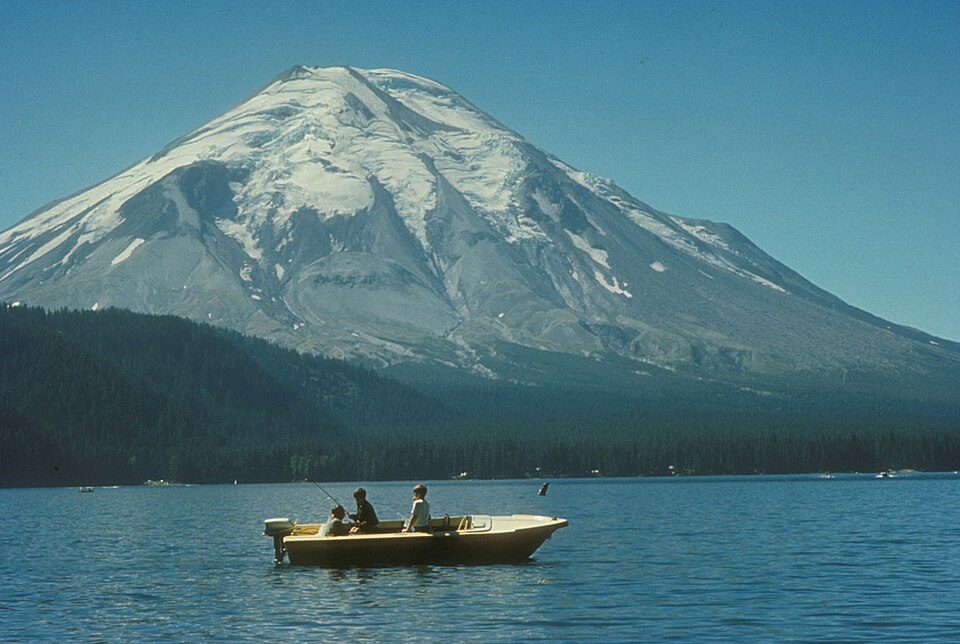 Big draw62 mi MountainMount St. Helens
 125 mi WaterfallMultnomah Falls
 223 mi Canyon & gorgeColumbia River Gorge
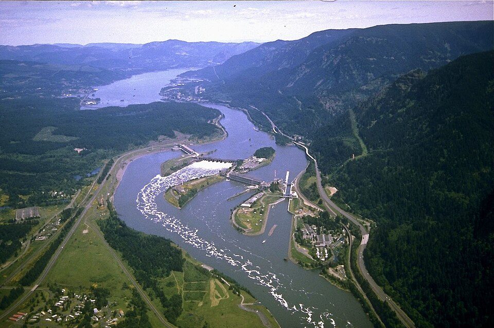 322 mi DamBonneville Dam
 48 mi Stadium & arenaModa Center
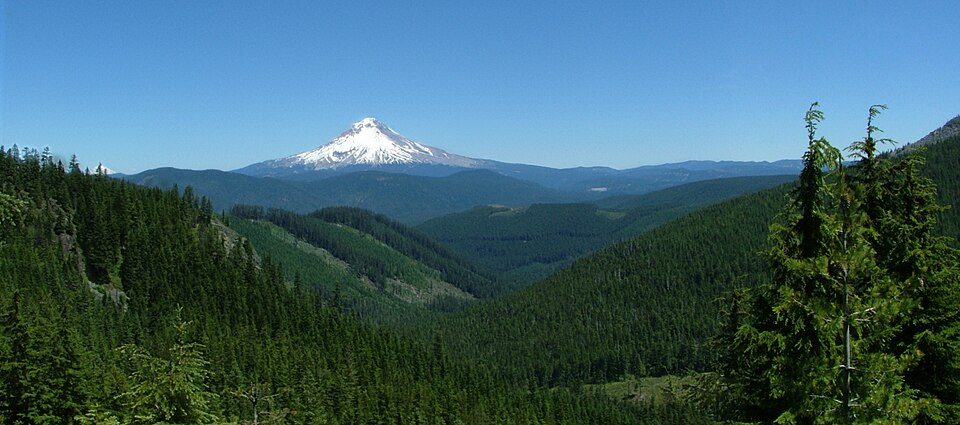 4in town National forestMount Hood National Forest
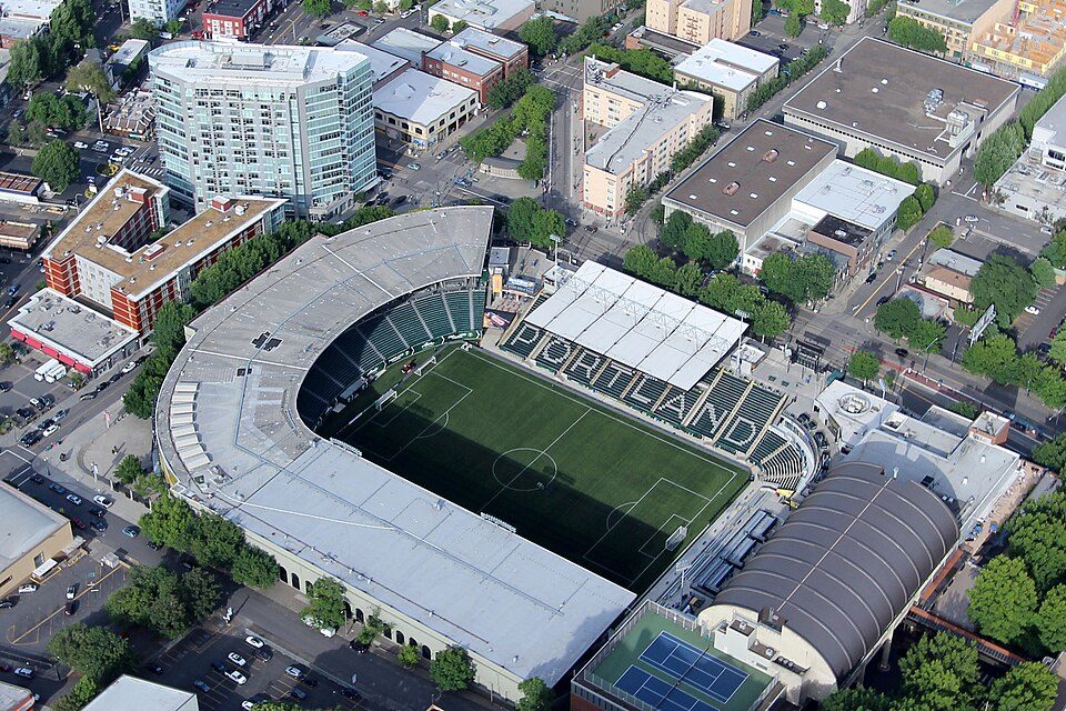 49 mi Stadium & arenaProvidence Park
 58 mi MountainMount Adams
Photo credits
Mount St. Helens: U.S. Forest Service- Pacific Northwest Region, Public domain · Multnomah Falls: John Fowler from Placitas, NM, USA, CC BY 2.0 · Columbia River Gorge: Hux, Public domain · Bonneville Dam: U.S. Army Corps of Engineers, Public domain · Moda Center: Lugnuts, CC BY-SA 3.0 · Mount Hood National Forest: Andy Barrett (User:Big Smooth), CC BY 2.5 · Providence Park: Pdx.rollingthunder, CC BY-SA 4.0 · Mount Adams: USGS Photo by R. Iverson, USGS/CVO, Public domain


Visiting Mount Hood
What town is Mount Hood near?
Government Camp, OR, about 6 miles southwest.
When is the best time to visit Mount Hood?
July, August and September, with highs of 64–71°.
How far is Mount Hood from Portland?
About 48 miles west of Portland, as the crow flies.
What is the closest airport to Mount Hood?
Portland (PDX), about 46 miles away.
Where should I stay near Mount Hood?
Government Camp (6 mi, 31 places to stay), Mount Hood Villages (15 mi, 20 places to stay) and Rhododendron (9 mi, 7 places to stay).
Tips from people in Government Camp
No tips yet. Ask, or answer, in Government Camp’s Town Square.
Sources: National Park Service · ski areas © OpenSkiMap / OpenStreetMap contributors · Wikidata · Wikipedia readership · NOAA climate normals · U.S. Census.