
Mt. Lassen Shingletown KOA campground between the trees, Shingletown, 2011, 2011
Shingletown’s story
152 years in pictures
The archive holds 6 old photos and papers going back to 2011.
- 1874Shingletown is settled
Each edition grades its towns against each other only.

A town of 2,164, settled in 1874.
Shingletown’s best subject grades are a B+ for cost of living and schools; its weakest is a D− for hazard risk. 38% of residents are 65 or older in Shingletown, above both California’s towns (16%) and U.S. towns (18%). On cost of living, just 24 of California’s 1,058 towns do better. Most errands need a car: it is less walkable than 83% of U.S. towns. Shingletown’s trail density is 1.3 miles per square mile, where California’s towns sit at 1.0 and U.S. towns at 0.4. Only 91 of California’s 1,064 towns score lower on the outdoors. Shingletown has fewer than 2,500 residents, so it gets subject grades but no overall grade.
Where Shingletown’s working residents go each day. Line width shows the share.
Census LEHD 2023
Each subject compared with towns across the country (schools within California), ordered by how far Shingletown is from typical.
How TownRatings grades towns →
The archive holds 6 old photos and papers going back to 2011.
Shingletown is unincorporated, so Shasta County and regional agencies provide most services.
EPA SDWIS (Oct 9, 2026) · HIFLD + EIA-861 2025 · Census 2020 ZCTAs · NCES 2024–25 · registration: vote.gov, updated Nov 18, 2024.
Ordered by what stands out in Shingletown.
95% of households own their home in Shingletown. The typical Shingletown home is worth about $316,000, down 0.8% in a year, 58% below the California typical home.
Census ACS, 2020–24 · Zillow Home Value Index · Redfin Data Center
Expected storm and flood damage is higher than in 97% of U.S. communities.
FEMA National Risk Index · OpenFEMA
Most working residents leave Shingletown for work: only 7% work in town. Shingletown’s average trip to work is 33 minutes. Since 2013, Shingletown has added 61 jobs, to 136 in 2023.
| Shingletown | California towns | U.S. towns | |
|---|---|---|---|
| Average trip to work | 33 minutes | 28 minutes | 25 minutes |
| Median household income | $67,000 | $95,000 | $80,000 |
Census LEHD 2023 · ACS
Shingletown has mild winters and warm summers. The July high in Shingletown is 89°F.
NOAA U.S. Climate Normals, 1991–2020
43% of Shingletown adults have high blood pressure. Shingletown beats the California average on 9 of 32 CDC measures and trails it on 11. 14% of Shingletown adults have diabetes.
| Shingletown | California towns | U.S. towns | |
|---|---|---|---|
| High blood pressure (CDC PLACES) | 43% | 31% | 35% |
| Frequent physical distress (CDC PLACES) | 17% | 14% | 14% |
| Diabetes (CDC PLACES) | 14% | 12% | 12% |
| Yearly checkup (CDC PLACES) | 78% | 72% | 79% |
| What stands out | Shingletown | CA |
|---|---|---|
| Fewer uninsured adults | 6% | 10.6% |
| Fewer adults facing housing insecurity | 9.7% | 14.9% |
| More adults who have had cancer | 12.1% | 6.4% |
CDC PLACES 2025 · modeled estimates for adults · CMS · HRSA
32 miles of trail in 0 parks and preserves.
Trails & parks © OpenStreetMap contributors · Conserved land: USGS PAD-US
Museums, parks, gardens and other places to visit around Shingletown. Close and well known come first.
 15 mi National ParkLassen Volcanic National Park505K visitors a year
 19 mi MountainLassen Peak
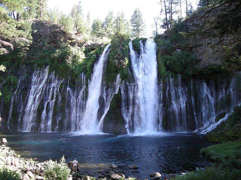 36 mi WaterfallBurney Falls
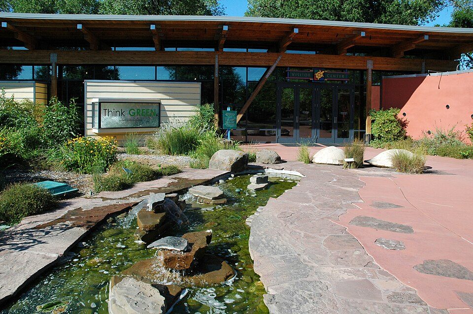 28 mi MuseumTurtle Bay Exploration Park
 29 mi TheatreCascade Theatre
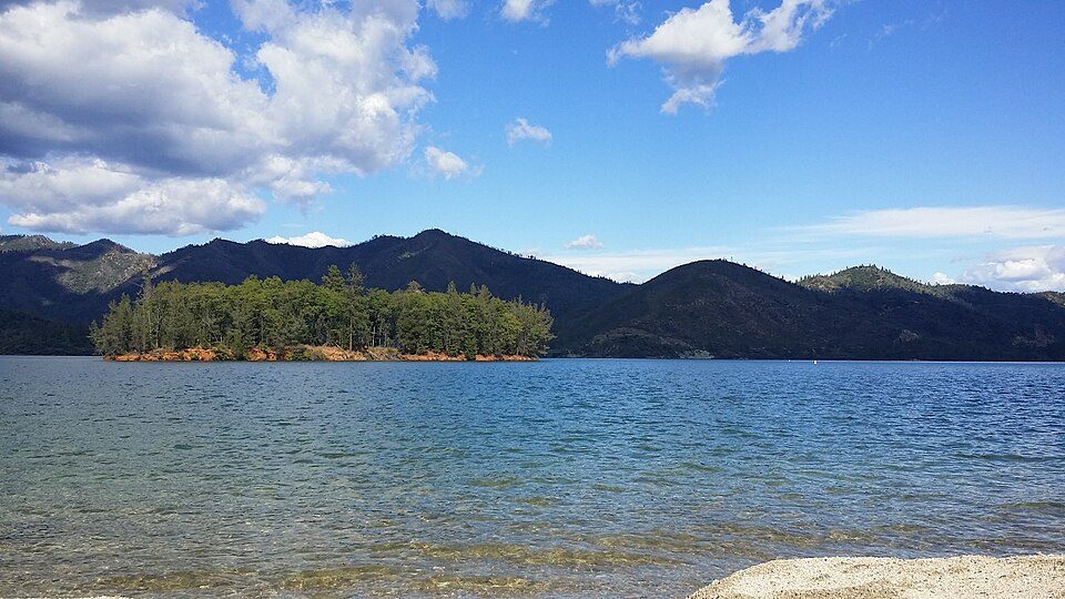 34 mi National Recreation AreaWhiskeytown-Shasta-Trinity National Recreation Area764K visitors a year
Lassen Volcanic National Park: en:User:Mav, CC BY-SA 3.0 · Lassen Peak: Frank Schulenburg, CC BY-SA 4.0 · Burney Falls: Dvortygirl, CC BY-SA 3.0 · Turtle Bay Exploration Park: DimiTalen, CC BY-SA 3.0 · Cascade Theatre: Publichall, CC BY-SA 3.0 · Whiskeytown-Shasta-Trinity National Recreation Area: RoyalMayfair, CC BY-SA 4.0
None within 15 miles of Shingletown; the nearest are
About 1 of every 100 Shingletown residents are enrolled in college, against 8 across California.
Place in California, United States
Shingletown is a census-designated place (CDP) in Shasta County, California, United States. Its population is 2,442, as of the 2020 census. Shingletown is a town located along California State Route 44 in the hills just below Mount Lassen. Shingletown has a history of logging large timber, including pine, fir and cedar. It is also known as "The Gateway to Lassen". Shingletown was originally named Shingle Camp, for the workers who cut roofing slats from timber to supply miners during the Gold Rush era.
From Wikipedia, licensed CC BY-SA 4.0 · facts via Wikidata (CC0)
Short answers, built from the data on this page.
Not for the area. Cost of living, which also weighs rents, property taxes and how many households pay 30% or more of their income for housing, grades B+.


