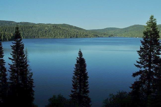
Plumas National Forest
Plumas National Forest is a 1,146,000-acre (464,000 ha) United States national forest located in northern California at the northern terminus of the Sierra Nevada mountain range. Find it 8 mi northeast of Greenhorn. Its history begins in 1907.

A national forest, 8 mi northeast of Greenhorn
Plan where you’ll sleep
The nearest town with many places to stay is Quincy, 16 miles west. Where to stay ↓
Established in 1907
Plumas National Forest dates from 1907. About ↓
Best months: Jun and Sep
June and September are the mild months, with highs of 78–80°. When to go ↓
Written from NOAA 1991–2020 normals, Overture places to stay, Census town figures, Wikidata and Wikipedia.
Weather through the year
Each month’s highs and lows around Plumas National Forest are below.
Plumas National Forest
Plumas National Forest is a 1,146,000-acre (464,000 ha) United States national forest located in northern California at the northern terminus of the Sierra Nevada mountain range. The Forest was named after its primary watershed, the Rio de las Plumas, or Feather River. Part of the natural area is old-growth forest and recognized by the Old-Growth Forest Network.
- Type
- National forest
- Established
- 1907
- Area
- 1,791 square miles
- Wikipedia readers
- 8.4K a year
Places to stay near Plumas National Forest
Nearest for a night are Quincy (11) and Beckwourth (6).
Quincy
The closest town with somewhere to stay.
1,317 people
16 mi west of Plumas National Forest
Compare 8 towns
| Town | From Plumas National Forest | Drive | Places to stay | People | Typical home |
|---|---|---|---|---|---|
| Quincy | 16 mi west | 25 min | 11 5 hotels · 3 motels · 2 inns & B&Bs · 1 RV park | 1,317 | $301K |
| Beckwourth 44% vacation homes | 17 mi southeast | 25 min | 6 2 lodges & cabins · 1 campground · 3 RV parks | 388 | $379K |
| Cromberg | 9 mi south | 15 min | 2 1 inn or B&B · 1 RV park | 154 | $341K |
| Graeagle 70% vacation homes | 17 mi south | 25 min | 5 2 hotels · 1 lodge or cabins · 2 RV parks | 496 | $490K |
| East Quincy | 15 mi southwest | 20 min | 3 1 motel · 1 lodge or cabins · 1 RV park | 2,723 | $323K |
| Lake Davis 100% vacation homes | 15 mi southeast | 25 min | 3 3 campgrounds | — | — |
| Greenville 24% vacation homes | 17 mi northwest | 25 min | 4 3 hotels · 1 campground | 424 | $241K |
| Portola | 16 mi southeast | 25 min | 3 1 motel · 1 inn or B&B · 1 campground | 2,024 | $231K |
Getting there
Nearest airports with airline service
Also within reach
More places people know lie within 61 miles.
 53 mi National ParkLassen Volcanic National Park505K visitors a year
 56 mi MountainLassen Peak
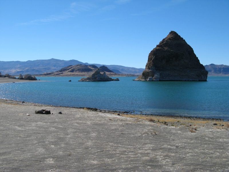 58 mi LakePyramid Lake
 52 mi LakeDonner Lake
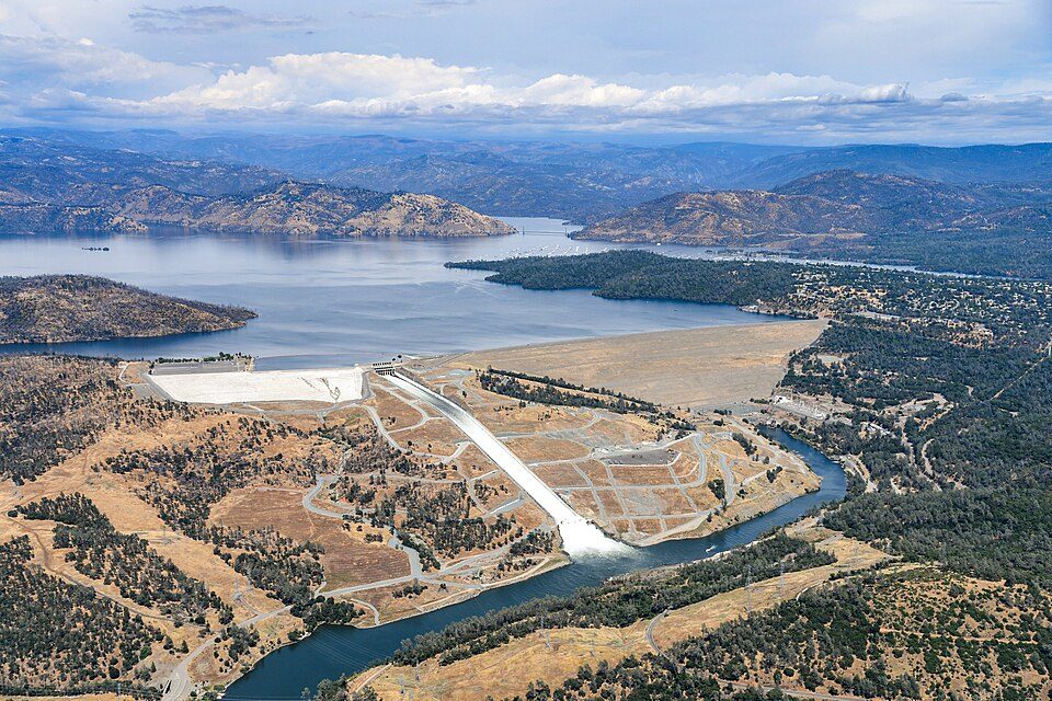 54 mi DamOroville Dam
 60 mi Ski areaPalisades Tahoe Olympic Valley122 runs · 2,542 ft vertical
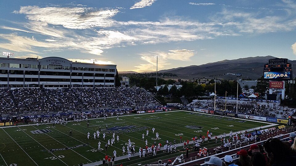 55 mi Stadium & arenaMackay Stadium
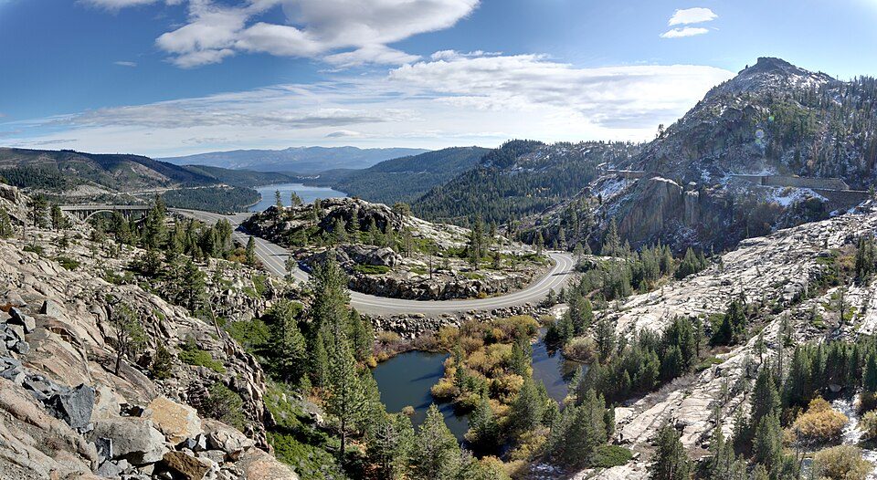 52 mi State parkDonner Memorial State Park
Photo credits
Lassen Volcanic National Park: en:User:Mav, CC BY-SA 3.0 · Lassen Peak: Frank Schulenburg, CC BY-SA 4.0 · Pyramid Lake: Rhalden, Public domain · Donner Lake: J.smith, CC BY-SA 3.0 · Oroville Dam: California Department of Water Resources, Public domain · Palisades Tahoe Olympic Valley: Jonnyboyca at English Wikipedia, Public domain · Mackay Stadium: Lanski, CC BY-SA 4.0 · Donner Memorial State Park: Joe Parks from Berkeley, CA, CC BY 2.0


Before visiting Plumas National Forest
What town is Plumas National Forest near?
Greenhorn, CA, about 8 miles southwest.
When is the best time to visit Plumas National Forest?
June and September, with highs of 78–80°.
What is the closest airport to Plumas National Forest?
Truckee Tahoe (TKF), about 55 miles away. The nearest big hub is Reno Tahoe (RNO), about 59 miles.
Where should I stay near Plumas National Forest?
Quincy (16 mi, 11 places to stay), Beckwourth (17 mi, 6 places to stay) and Graeagle (17 mi, 5 places to stay).
Notes from people in Greenhorn
Ask a question, or answer one, in Greenhorn’s Town Square.
Sources: National Park Service · ski areas © OpenSkiMap / OpenStreetMap contributors · Wikidata · Wikipedia readership · NOAA climate normals · U.S. Census.